
Hike Schedule
Join us for a hike! Registration required.
All hikes available to BTC members. Some hikes are open to non-members.
See Refund Policy for Paid Hikes >
TIP: The calendar view displays up to 7 hikes on a day, but often there are more. Click “View more events” to see them all.
Categories
- 28June 28, 2026
Peninsula BT Makeup Hike (km 139.5 – km 156.4)
https://hikes.brucetrail.org/event/peninsula-bt-makeup-hike-km-139-5-km-156-4-2/Sorry, the registration cut-off time for this hike has been reached.Not a member? Click here to join today!Hosting Club: Peninsula
Category: Peninsula BT Makeup Hike
Location (Google Maps):Hike Leader(s): Kathleen Stahlbaum & Saabir Sohrab Click here to contact Hike Leader(s)
Pace: Medium (3.0 – 4.5 km/h): A comfortable pace for most hikers with steady progress.
Terrain: Difficult: Steep ascents/descents, rocky scrambling, and some rugged escarpment paths.
Distance: ~17.8Description
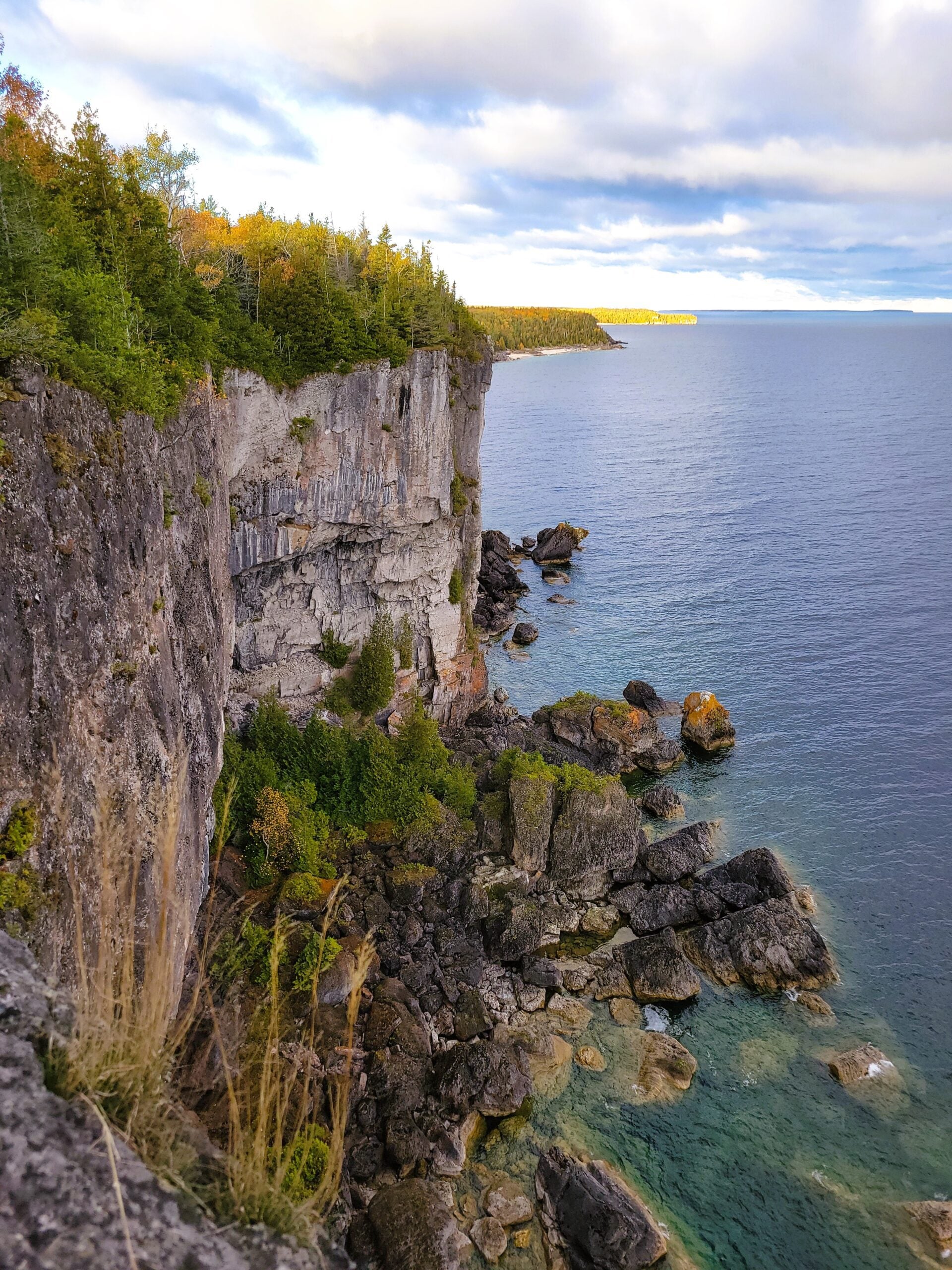
Halfway Log dump to Little Cove parking lotThis hike is part of the Peninsula BT Makeup Hikes, intended for hikers completing missed sections of the Peninsula Bruce Trail. Each hike requires individual registration.
To hike the entire Peninsula Section, please register for the Full Peninsula End-to-End Series (single registration for all 10 hikes): https://hikes.brucetrail.org/event/peninsula-end2end-in-10-series/2026-05-01/
Hikers may register for all 10 Makeup Hikes if they wish.
Expectations: Expect ~6 hours on the trail, depending on the terrain, weather, and group pace. The hike leader sets the pace, aiming for 3–4 km/h, and may adjust as needed for group ability and trail conditions. Breaks will be taken throughout the day.
For safety, participants must remain between the hike leader and the hike sweep at all times.
Fees:
- Registration fee does not include Bruce Peninsula National Park entry fees and parking fees
- Parking costs will be shared equally among participants.
- Fundraising: This hike is a fundraiser to support the Peninsula Bruce Trail Club’s volunteer-run hike program.
Participant Requirements
- Intermediate/experienced hikers with good fitness
- Proper hiking boots, layered clothing, wet weather gear
- Hiking poles recommended
- Bring: Lunch, snacks, water, bug spray
Transportation & Accommodations
- Car shuttle: Participants rotate as drivers; vehicles must be passenger-ready
- Accommodations: Book early; options include motels, campgrounds, hostels, and B&Bs
Note: Dogs are not permitted.
Car Hike: Uxbridge-Brock Track
https://hikes.brucetrail.org/event/car-hike-uxbridge-brock-track-6/Sorry, the registration cut-off time for this hike has been reached.Not a member? Click here to join today!Hosting Club: Toronto
Category: Car Hike
Location (Google Maps):Meet at the Brock Tract parking lot on the east side of Durham 1/Brock Rd., approximately 5 km south of Coppin’s Corners, Uxbridge or 1 km north of Uxbridge Pickering Town Line. 1401 Brock Rd. (Free parking).
Hike Leader(s): Amir Alemohammad Click here to contact Hike Leader(s)
Pace: Moderate (3-4 km/hr)
Terrain: Flat, Hilly, Level 2 (Intermediate – some hills and uneven surfaces, rocks and roots underfoot), Variable
Distance (km): 10-12 kmDescription
Join us for a wonderful hike in Uxbridge starting from Brock Track parking lot. We will hike the Brock Track and Wilder Forest among the amazing trails of Uxbridge.Boots and icers mandatory, poles recommended, bring 2 litres of water and dress according to weather conditions. Be prepared for icy/snowy conditions.
Please arrive at 7:45 for a 8:00 start.
Beware, Iphone Maps may take you to the wrong location. Check the location with Google Maps the previous night.
This is a joint hike with Oak Ridges Trail Association (ORTA).
Sunny Sundays - Talisman to Epping
https://hikes.brucetrail.org/event/sunny-sundays-talisman-to-epping/Sorry, the registration cut-off time for this hike has been reached.Not a member? Click here to join today!Hosting Club: Beaver Valley
Location (Google Maps): Meet in the Epping/John Muir Lookout on Grey Road 7, km 94.3, Map 27, Edition 31, check Google Maps in hike listing for coordinates. We will shuttle to Sideroad 7A, Talisman.
Hike Leader(s): Glenda Collings Click here to contact the hike leader.
Pace: Medium
Terrain: Moderate, Some rocky footing, Some steep sections
Length of Hike: 11.9 kmDescription
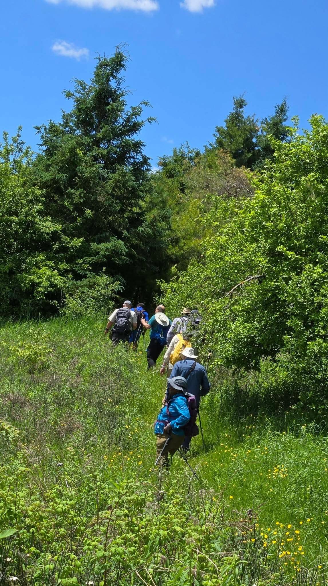
We’ll experience hiking by a beaver pond and along the edges of fields as we make our way along the escarpment, through forest, to end up at the BTC recently acquired section of the old Talisman Ski Club property, with more great views. Please ensure you arrive ready for the car shuttle at 8:15 a.m for an 8:30 a.m. start. Bring water and snacks. We’ll have a couple of short breaks and a mid hike break for snacks. Dress appropriately for the weather and trail conditions. Bring sunscreen and insect repellent or protective covering like a bug hat and long sleeves. You can use the “Click here to contact the hike leader” option in the hike listing if you have any questions.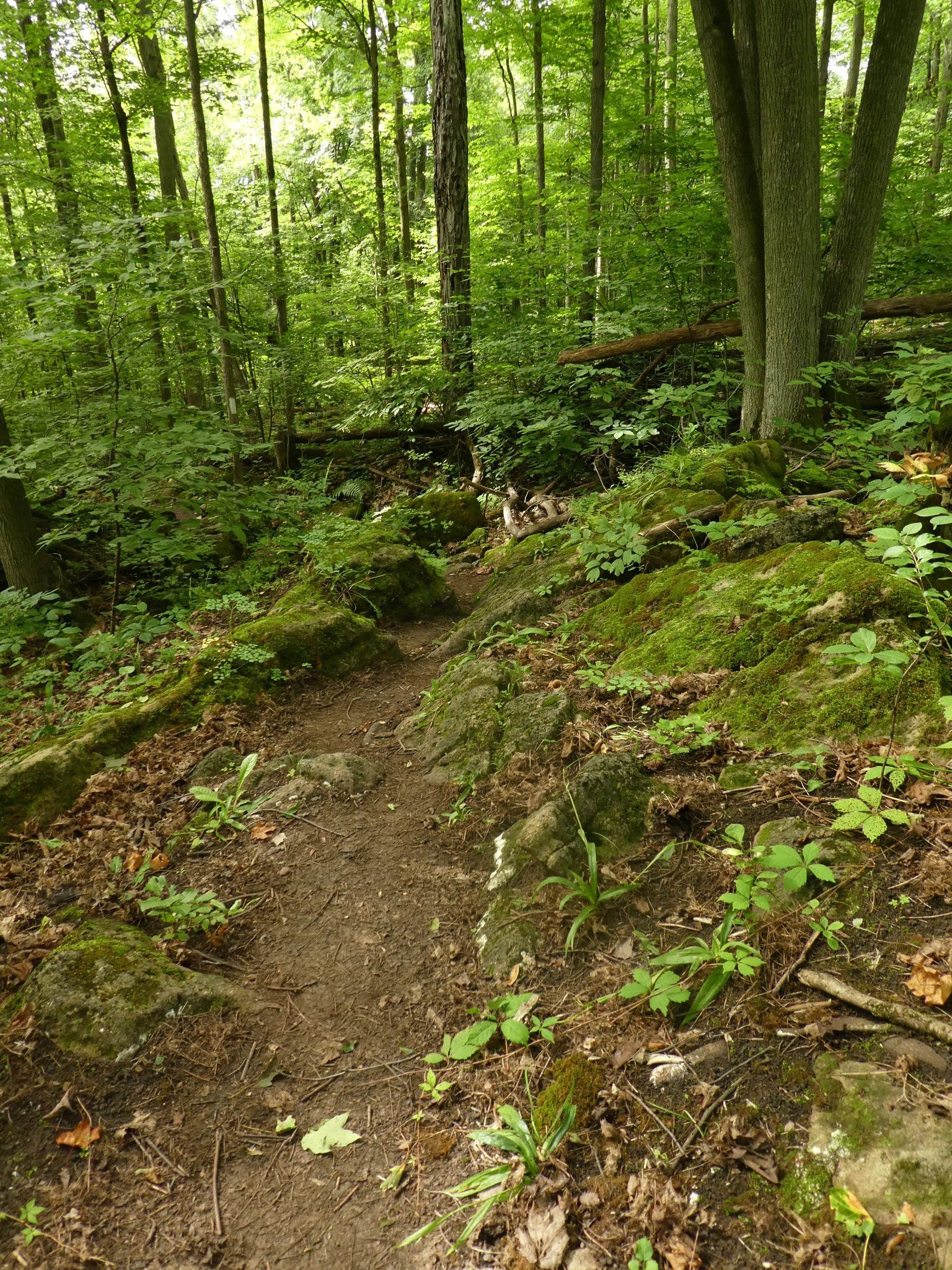
Terra Cotta to Boston Mills Rd (E2E)
https://hikes.brucetrail.org/event/terra-cotta-to-boston-mills-rd-e2e-2/Sorry, the registration cut-off time for this hike has been reached.Not a member? Click here to join today!Hosting Club: Iroquoia
Category: General Hike
Location (Google Maps): Meet at 9:15 am at the end of Boston Mills Rd.Hike Leader(s): Karen Bergmann Click here to contact Hike Leader(s)
Pace: Medium – 3 to 4 km/hr
Terrain: Moderate – Some hills and/or some poor footing
Distance: 9 kmsDescription
We will meet at the end of Boston Mills Rd (off Mississauga Rd) at 9:15 am and carpool to 10th Line and hike back on the main trail through Terra Cotta Conservation Area, across Winston Churchill Blvd and Heritage Rd and back to the cars. Bring a snack as needed. As well as bug spray/bug net. There are some technical (rocky) parts to this hike. as well as a couple of hilly bits.
Rainbow Hike: Cave Springs GeoHike
https://hikes.brucetrail.org/event/rainbow-hike-cave-springs-geohike/Sorry, the registration cut-off time for this hike has been reached.Not a member? Click here to join today!Hosting Club: Niagara
Category: Rainbow 🌈
Location (Google Maps): Cave Springs Conservation AreaHike Leader(s): Angela Lytle Click here to contact Hike Leader(s)
Pace: Leisurely <3 km/hr
Terrain: Moderate: some hills and some poor footing
Distance: 2 kmDescription
Join the Niagara Bruce Trail Club, Bridges Niagara Immigrant and Refugee Services and PFLAG Niagara for a Rainbow Hike with Kristin Hanson, GeologistWhat is a Rainbow Hike?
These hikes aim to bring 2S-LGBTQIA+ folks and newcomers together with other newcomers and community members, friends and allies to enjoy nature and connect to the land and enjoy nature in all seasons. It is an intentionally affirming space for people of diverse backgrounds and identities with a focus on 2S-LGBTQIA+ inclusion. Everyone is welcome.
For Pride month, BTC Pride badges and stickers are free for all hikers! Come celebrate Pride with likeminded folks enjoying nature together!Hike Details:
From the Cave Springs Conservation Area parking lot, we will hike along the Ice Cave Trail, the Margaret Reed Side Trail and the main Bruce Trail, stopping to explore and discuss the geology of the Niagara Escarpment, the Beamsville Bench wine region and the physiographic and geologic conditions that make it special.
After a short in-and-out hike on the Ice Cave Trail, we will slowly begin an incline up the Margaret Reed side trail as we scale the Niagara Escarpment.
We will consider the 450+million years of history we are hiking through as we make our way slowly to the top. We will stop along the way to discuss and rest.
Once at the top, the terrain on the Bruce Trail is generally flat but footing may be uneven. It may be wet and slippery if it rains. Hiking poles will make the ascent easier and give more stability on uneven footing. Bug spray is needed at Cave Spring in the summer months. We will hike to the site of the very first blaze on the Bruce Trail and admire the views of Lake Ontario and the vineyards of Cave Spring and Malivoire wineries.
Parking: There is a small parking lot at the entrance to Cave Springs Conservation area on Cave Spring Road, just past the Cave Springs winery.
Please arrive by 9:50 to check in with the hike leaders so we can depart at 10.
GO Train Hike: Nokiidaa Trail
https://hikes.brucetrail.org/event/go-train-hike-nokiidaa-trail/Sorry, the registration cut-off time for this hike has been reached.Not a member? Click here to join today!Hosting Club: Toronto
Category: GO Train Hike
Location (Google Maps):East Gwillimbury GO Station (outside station building)
Hike Leader(s): Tom Swales, Talise Liang Click here to contact Hike Leader(s)
Pace: Moderate (3-4 km/hr)
Terrain: Flat, Level 1 (Easy – mostly on flat, well maintained trails with hard-packed surface)
Distance (km): 9 kmDescription
We will hike south from East Gwillimbury GO Station to Fairy Lake and historic Main Street in Newmarket. We will pass the remains of a swing railway bridge, the remains of an abandoned canal, and a diverse landscape. The walking is easy south on this Level 1 Hike to Fairy Lake where we loop around the lake with a scenic boardwalk trail on the east side and paved path leading into the historic downtown of Newmarket. We’ll stop in the historic downtown for refreshments at the Old Flame Brewery or alternative establishments and walk up Main Street to get the 2:48 pm train back towards Toronto’s Union Station or Downsview Park Station.Drivers may meet at East Gwillimbury GO Station and take the train, GO Bus, or local transit to return to the meeting point.
Take advantage of the GO Transit $10 Day Weekend Pass available only on smartphones. Those wishing to travel together will meet at Union Station in the Great Hall by the information desk (with the clock over it) by 8:40 to take the GO Train towards Barrie departing at 8:52 AM. There is also a stop in Toronto at Downsview Park Station (9:11 AM).
ROUTE MAP: https://onthegomap.com/s/507cjskh

GeoHike - Ball's Falls Conservation Area
https://hikes.brucetrail.org/event/geohike-balls-falls-conservation-area-3/Sorry, the registration cut-off time for this hike has been reached.Not a member? Click here to join today!Hosting Club: Niagara
Category: Geology
Location (Google Maps):3292 Sixth Avenue, Lincoln, ON
Hike Leader(s): Kristin Hanson Click here to contact Hike Leader(s)
Pace: Leisurely <3 km/hr
Terrain: Easy: mostly flat, good footing
Distance: 2.0Description
Look at 438 million years of geologic history and discover why early settlers chose Balls Falls to establish their industrial base. Learn about the formation of the Niagara Escarpment, how glaciation contributed to formation of the valleys and waterfalls, and how the landscape continues to change. We will depart from the Ball’s Falls visitor center – meet at the GeoPoint sign just east of the main doors. We will then follow the short Switchback Trail down into the valley and take the Cataract Trail to the Upper Falls. We will hike along Twenty Mile Creek as it makes its way over the Niagara Escarpment into the Village and get a great view of the Lower Falls. We will use a slow pace and stop and discuss geology along the way. It will only take us 1 hour to cover the distance. When we arrive at the Lower Falls we will stop to enjoy it, and then return to the parking lot. There are washrooms near the village. We will return to the parking lot and visitor center, where there are washrooms and water fountains.Note there is an entrance/parking fee of $15per car but a NPCA parking pass covers this fee; passes may be available to checkout from local libraries
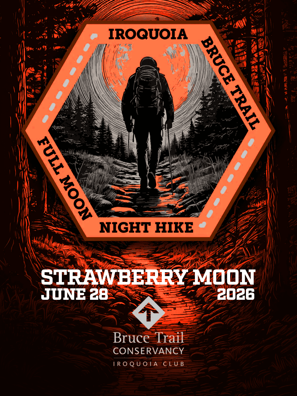
Full Moon Night Hike No.7 (Strawberry Moon)
https://hikes.brucetrail.org/event/full-moon-night-hike-no-7-strawberry-moon/Sorry, the registration cut-off time for this hike has been reached.Not a member? Click here to join today!Hosting Club: Iroquoia
Category: Moonlight Hikes
Location (Google Maps): We will meet at Dundas Driving Park, at 71 Cross St, Dundas. Proceed through the gate and take the road on the right to available parking on the east side of the park. I will have my tailgate up on my white Nissan Qashqai. Please plan to arrive by 9:00 pm so we can get everyone registered and head out at 9:30 pm.Hike Leader(s): Joe Borges Click here to contact Hike Leader(s)
Pace: Medium – 3 to 4 km/hr
Terrain: Dependent on Conditions, Slippery and Steep Sections, Strenuous – Hilly with steep climbs and some poor footing
Distance: 7.5 kmDescription
The Full Strawberry Moon hike is the seventh full moon of 2026. We’ll meet at the parking area inside Dundas Driving Park (71 Cross St Dundas) on the east side of the park. Please plan to arrive by 8:45 pm to get everyone registered and on our way by 9:10 pm.We will hike out of the park along Alma St and pick up the main trail/Tews Fall Side Trail, climbing the escarpment, hiking along the top to Dundas Peak – there will many views overlooking Dundas and afford us some good views of the Full Strawberry Moon. A short pause for pics at the Peak and back down along the Glen Ferguson Side Trail/Tews Fall Side Trail and back to the park and our cars.
Be sure to wear layered clothing, bring water, and poles if you use them. Also headlamp or flashlight. You can leave them off and use them when needed.
If this is your third hike in the series you qualify for the Iroquoia Full Moon badge – new for 2026! Cost is $10 for BTC Members and $15 for non-members. Badges can be picked up at this hike if you pre-order and pay through Iroquoia Bruce Trail Club Badges – Iroquoia Bruce Trail Club
Members / Click to Purchase Your Badges
https://www.zeffy.com/en-CA/ticketing/1de4dba1-aca4-44e2-b0b0-d94f1c826c42Non-Members / Click to Purchase Your Badges
https://www.zeffy.com/en-CA/ticketing/93131d23-cc73-44fe-913d-e4938ee174c6 - 29June 29, 2026
Blue Mountains End-to-End in 5 - Hike 3 Make-Up
https://hikes.brucetrail.org/event/blue-mountains-end-to-end-in-5-hike-3/Sorry, the registration cut-off time for this hike has been reached.Not a member? Click here to join today!Hike open to BTC Members only.
Hosting Club: Iroquoia, Blue Mountains
Category: General Hike
Location (Google Maps): Roadside Parking on north end of Osprey-Clearview TownlineHike Leader(s): Pati Greenwood, Jeff Dowsett Click here to contact Hike Leader(s)
Pace: Medium – 3 to 4 km/hr
Terrain: Dependent on Conditions, Moderate – Some hills and/or some poor footing
Distance: 12.9 kmDescription
NOTE: This is a make-up hike for the 3rd in the Blue Mountains E2E series that was cancelled due to weather.This is an End-to-End hike series to complete the Blue Mountains section of the Bruce Trail in 5 hikes. Join for all or as many hikes as desired – you will need to register for each hike in the series which will take place on the following dates in April: 17, 18, 19, 24 and 25.
Since this is a group hike, please consider your fitness level before registering. We will be walking at a pace of 3km – 4km per hour and hikers will need to keep up with the person in front of them for the duration of the hike. The hike series will also involve car shuttles and every hiker is expected to participate as drivers.
Weather conditions in the spring can be changeable, so it’s best to dress in layers and come prepared for varying conditions throughout the day. Hiking boots are required and hiking poles are strongly recommended. Bring plenty of fluids and a snack.
This third hike of the series will be 12.9 km long. Plan to arrive at the meeting place by 8:15 a.m. as we will start the car shuffle to the hike starting point at 8:30 a.m. sharp. Further details will be provided to registered hikers a few days prior to the hike.
EASY DOES IT HIKE Heartland Forest Nature Ezperience
https://hikes.brucetrail.org/event/easy-does-it-hike-heartland-forest-nature-ezperience/Sorry, the registration cut-off time for this hike has been reached.Not a member? Click here to join today!Hosting Club: Niagara
Category: Leisurely
Location (Google Maps): 8215 Heartland Forest Rd, Niagara Falls, ON L2H 0L5 (Park in large lot near entrance )Hike Leader(s): Diane Marlatt Click here to contact Hike Leader(s)
Pace: Leisurely <3 km/hr
Terrain: Easy: mostly flat, good footing
Distance: 3KmDescription
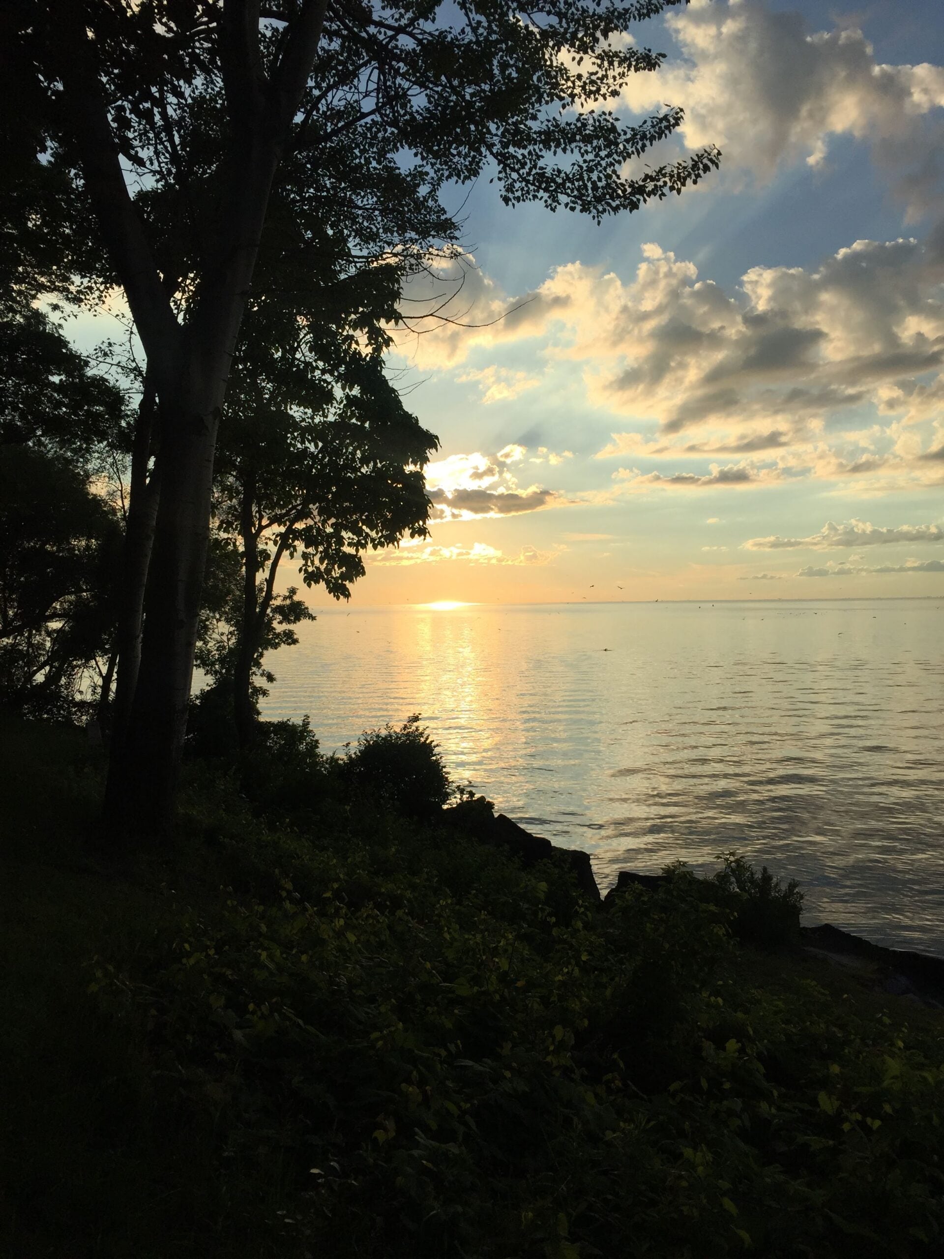
8:00 pm Sunset & Moonlight Night Hike in Niagara-on-the-Lake
https://hikes.brucetrail.org/event/800-pm-sunset-moonlight-night-hike-in-niagara-on-the-lake-4/Sorry, the registration cut-off time for this hike has been reached.Not a member? Click here to join today!Hike open to BTC Members only.
Hosting Club: Niagara
Category: Night
Location (Google Maps):Veteran’s Memorial Park, park just outside the park on King St.
Hike Leader(s): Robin Garrett Click here to contact Hike Leader(s)
Pace: Leisurely <3 km/hr
Distance: 6-7 km
Description
Moonlight Night Hike – Take in the magic of the rising moon over Lake Ontario and the Niagara River. This hike includes a stop to connect with your senses – sights, sounds, smells and the rhythm of your breath. Counts towards your night hike badge (5 night hikes).
Peninsula Strawberry Full Moon Hike - Departure time 9pm
https://hikes.brucetrail.org/event/peninsula-strawberry-full-moon-hike-meet-time-9pm/Sorry, the registration cut-off time for this hike has been reached.Not a member? Click here to join today!Hosting Club: Iroquoia, Peninsula
Category: Moonlight Hikes
Location (Google Maps): Barrow Bay Parking Lot in the Peninsula ClubHike Leader(s): Ruth Moffatt Click here to contact Hike Leader(s)
Pace: Leisurely – 3km/hr or less, Medium – 3 to 4 km/hr
Terrain: Dependent on Conditions, Moderate – Some hills and/or some poor footing
Distance: 7-8kmDescription
This full moon hike is in the Peninsula Section of trail and led by an Iroquoia Hike Leader.Welcome to more Full Moon Hike Series – This is 1/4 that will be led this summer. Details for collecting badges are at the bottom of the hike details.
We will meet in the Barrow Bay parking lot and make our way out to the Barrow Bay Cliffs Nature Reserve at the lookout and make our way back on the Beth Gilhespy and John Appleton Side Trails. We will not be descending the staircase.Sunset is at 9:17.
Bring water and whatever snacks you need as well as a first aid kit, poles if you use them and most importantly, a head-lamp with a red light if you have one.
2/4 July 29 Buck Moon – Meet time is 8:45pm3/4 August 28 Sturgeon Moon – Meet time is 7:45pm
4/4 September 26 Harvest Moon – Meet time is 6:00pm
The following is from the Bruce Trail Conservancy website regarding Hiking at Night.
While most hikers choose to explore the Bruce Trail by day to take in the colourful sights and vast vistas, venturing out after dark also has its benefits.
Hiking at night allows you to tap into other senses and explore nature in a whole new way. From stargazing to nocturnal animal sightings, there is a lot to see and hear when exploring the Bruce Trail after sunset. No matter your motivation for heading out for a nighttime hike, certain precautions should be taken to ensure that your time on the Trail is safe and enjoyable.Before you go
Plan your route and choose somewhere familiar. It’s easy to get turned around in the darkness. Planning your route and hiking it in daylight first will help you know what to expect. If you’ve never tried hiking at night, start with a shorter hike somewhere familiar to you. Always stay on the Trail to avoid getting lost.Bring a headlamp or flashlight and extra batteries. The Trail can be quite rugged with uneven surfaces, rocks, and roots. A headlamp or flashlight is essential for preventing trips and falls – and both are brighter and last longer than your phone’s built-in light. A light source with different settings, including a red light, is ideal as bright lights can be hard on your eyes over time.
Bring a fully charged cell phone. You should always bring your phone with you when hitting the trails in case you need to call for help. Most phones have a flashlight function that can act as a backup to your headlamp. You can also use your phone’s GPS with apps like the Bruce Trail App and what3words for navigational and safety purposes.
Wear reflective clothing and bring a whistle. A reflective piece of clothing can help other hikers or drivers see you in the darkness. A whistle can help others hear you in case of an emergency, even if they can’t see you.
Plan to do your first hike under a full moon and a clear sky.
A full moon can provide a surprising amount of light. Planning your first night hike during a full moon and clear sky can be a great way to acclimate yourself to hiking after dark.Don’t go solo and tell someone where you are going. Always share your route with someone before heading out in case of an emergency. Bring a friend to explore the Trail together, or join one of the moonlit hikes offered by some Bruce Trail Clubs.
Bring layers. The temperature can drop quickly in the woods at night. Bring layers to stay warm and comfortable.
While HikingSlow down and be aware of hazards. Don’t expect to hike at the same pace you would in daylight. Darkness can make the terrain more challenging. Slow down, pay attention to your surroundings, and stay away from cliff edges to prevent injuries.
Be prepared for wildlife. Many animals such as coyotes, owls, bats, salamanders, foxes, opossums, and skunks are active at night. Sightings can enhance your nighttime hiking experience but be careful not to get too close. Keep your ears open to the sounds around you to avoid unwanted interactions.
While more preparations may be needed for a hike after dusk, for many, once they find themselves in the cool of the night gazing up at the constellations or watching an owl swoop through the darkness, the effort is well worth it.
If you are collecting your badge tonight or on any of the following full moon hikes: July 29, August 28, September 26, please bring exact cash $10 for members and $15 for non-members to cover the cost of the badge. You must’ve have completed at least 4 full moon hikes. If you wish to pay by e-transfer and have your badge mailed out to you, you may also choose to receive it that way. For simplicity sake, and because it will be dark out, it would be appreciated if you could please choose one method of receiving your badge or the other. Badges are on the honour system so if this is your 4th hike, please feel free to receive your badge.
- 30June 30, 2026
Long Haulers Hike NEW TIME NEW LOCATION
https://hikes.brucetrail.org/event/long-haulers-hike-new-time-new-location-7/Sorry, the registration cut-off time for this hike has been reached.Not a member? Click here to join today!Hosting Club: Niagara
Location (Google Maps): Short Hills Wiley Road, Thorold
Pace: Fast 5+ km/hr
Terrain: Moderate: some hills and some poor footing
: 10k+Description
Back to our regular Spot for the Tuesday Long Hike. Note the new location. We will hike the trails around Short Hills Dress for the weather and bring sunscreen bug spray, poles snack and drinkBoyne Valley Side Trail Loop
https://hikes.brucetrail.org/event/boyne-valley-side-trail-loop-2/Sorry, the registration cut-off time for this hike has been reached.Not a member? Click here to join today!Hosting Club: Dufferin Hi-Land
Category: Tuesday Hike
Location (Google Maps): Meet at the BTC Parking lot at the south end of Centre Rd at 9:00, south of 5 Sideroad in Mulmur (Dufferin Hi-Land Map 20, 17.6, BTC Edition 31)Hike Leader(s): Julie Daley, Les Babbage, Tony Evangelista, Inge Eckerich Click here to contact Hike Leader(s)
Pace: Leisurely
Terrain: Moderate
Distance: Long Hike 6.3 km, Short Hike 3 kmDescription
We will hike a loop of the Main Trail and Boyne Valley side Trail. The short hike will return from the Boyne River bridges by way of the Centre Road road allowance.9:15 Short hike, Short Hills, Pelham Road
https://hikes.brucetrail.org/event/915-short-hike-short-hills-pelham-road/Sorry, the registration cut-off time for this hike has been reached.Not a member? Click here to join today!Hike open to BTC Members only.
Hosting Club: Niagara
Category: In and Out
Location (Google Maps): Short Hills Provincial Park, Pelham Road entranceHike Leader(s): janet davey Click here to contact Hike Leader(s)
Pace: Medium 3- 4 km/hr
Terrain: Moderate: some hills and some poor footing
Distance: 6 kmsDescription
Hike the main and side trails of Short Hills Provincial Park. Please bring water and hiking poles. Ticks are active right now so be sure to check yourself after the hike.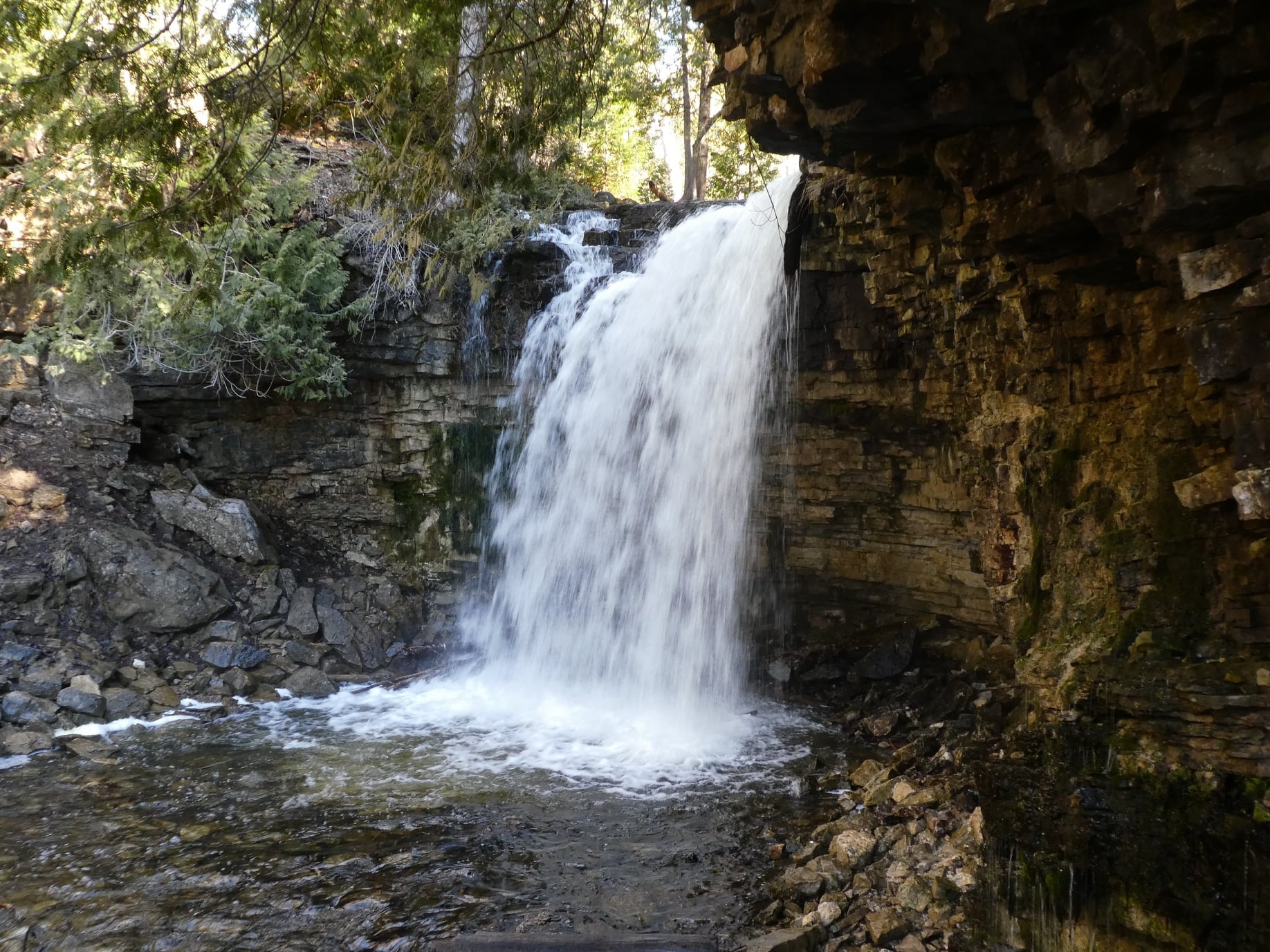
Hilton Falls on the Bike Trails
https://hikes.brucetrail.org/event/hilton-falls-on-the-bike-trails-4/Sorry, the registration cut-off time for this hike has been reached.Not a member? Click here to join today!Hosting Club: Iroquoia
Category: General Hike
Location (Google Maps): Meet in the parking lot at Hilton Falls Conservation Area at 9:15 amHike Leader(s): Karen Bergmann Click here to contact Hike Leader(s)
Pace: Medium – 3 to 4 km/hr
Terrain: Moderate – Some hills and/or some poor footing
Distance: 8 kmsDescription
Meeting in the parking lot at 9:15 am, we will hike to the Falls and then across the creek to the bike trails and back along the Hilton Falls Side Trail. Reserve your time at conservationhalton.ca Bring sufficient water as well as bug spray/bug net.WEDNESDAY WALKERS - Old Baldy
https://hikes.brucetrail.org/event/wednesday-walkers-old-baldy-4/Sorry, the registration cut-off time for this hike has been reached.Not a member? Click here to join today!Hosting Club: Beaver Valley
Location (Google Maps): Our hike will begin from the parking lot of Old Baldy. km 43.9, Map 25, Edition 31. Any hike participants who do not have a parking pass for Grey Sauble CA can park on the shoulder of Sideroad 7B by the bend in the road and then be shuttled to the parking lot.
Hike Leader(s): Margaret Yaraskavitch Click here to contact the hike leader.
Pace: Medium
Terrain: Moderate, Some rocky footing
Length of Hike: 5 kmDescription
Not Wednesday! To avoid Canada Day. Tuesday! Our hike takes us atop Old Baldy, the iconic outcrop. The Trail is well-used, the pathway often being “roots and rocks”. There will be a number of lookout spots to view into and across the Beaver Valley. We will hike along the main Trail and then turn back when we reach the road allowance part of the Trail. On the way back we will walk on the Mac Kirk Side Trail, under a canopy of deciduous trees.Urban Walk: Valley View/Huntington Park
https://hikes.brucetrail.org/event/urban-walk-valley-view-huntington-park-4/Sorry, the registration cut-off time for this hike has been reached.Not a member? Click here to join today!Hosting Club: Toronto
Location (Google Maps): Parking lot is off Sycamore Drive, East of Bayview , across Starbucks plaza
Bus 91 from Finch East station stops at Sycamore station.Hike Leader(s): Mohammad Aghamiri
Pace: Moderate (3-4 km/hr)
Terrain: Hilly, Level 2 (Intermediate – some hills and uneven surfaces, rocks and roots underfoot)
Distance (km): 6-7 kmDescription
We will explore Valleyview and Maple View parks, and walk along German Mill Creak, in return we stop in Huntington park and have snack under beautiful shed.Although this is considered an “Urban Walk”, you can expect some hills up and down and uneven surfaces with tree roots. Please bring hiking poles, water and snacks.
Walk In Nature Series (WINS) Tuesday Summer Evenings - Beaver Springs Side Trail
https://hikes.brucetrail.org/event/walk-in-nature-series-wins-tuesday-summer-evenings-beaver-springs-side-trail/Sorry, the registration cut-off time for this hike has been reached.Not a member? Click here to join today!Hosting Club: Sydenham
Category: General Hike
Location (Google Maps): Click the Google Maps link to take you there. Meet and Park roadside on the east side of Irish Block Road, 1 km north of Highway 26 in the former Sydenham Township. In the Bruce Trail Reference, Edition 31, meet at km 62.4 on Map 31.Hike Leader(s): Stewart Brown Click here to contact Hike Leader(s)
Pace: Medium: 3 to 4 km/h
Terrain: Moderate: Some hills and/or poor footing, There might be muddy sections.
Distance: 4 kmDescription
Tuesday evening WINS hikes begin at 6:30 p.m. as a way to enjoy the daylight and nice weather of summer evenings. Explore the Beaver Springs Side Trail which circles through varied forest including maples and cedars that line the trail as it passes through ecologically-rich Beaver Springs Wetland, a Bruce Trail Conservancy Protected Natural Area. The trail crosses a pretty creek valley, a tributary of Keefer Creek, whose fresh, clean water originates in the Beaver Springs Wetland. - 01July 1, 2026
Canada Day Hike
https://hikes.brucetrail.org/event/canada-day-hike/Sorry, the registration cut-off time for this hike has been reached.Not a member? Click here to join today!Hosting Club: Blue Mountains
Category: Organized Hike
Location (Google Maps): Tim Hortons First Street CollingwoodHike Leader(s): Claire Pearson Click here to contact Hike Leader(s)
Pace: Medium – 3 to 4 km/hr
Terrain: Moderate – Some hills and/or some poor footing
Distance: ~5kmDescription
We will meet in the parking lot behind Tim Horton’s. From there we will carpool up Grey Road 119 to 6th line where we will begin our loop hike at the entrance of the Margaret Paull Side Trail. This trail exemplifies the beauty of this country with its lush forests, picturesque waterfalls, and incredible flowerpot rock formation. Hiking this is a perfect way to begin your Canada Day celebrations!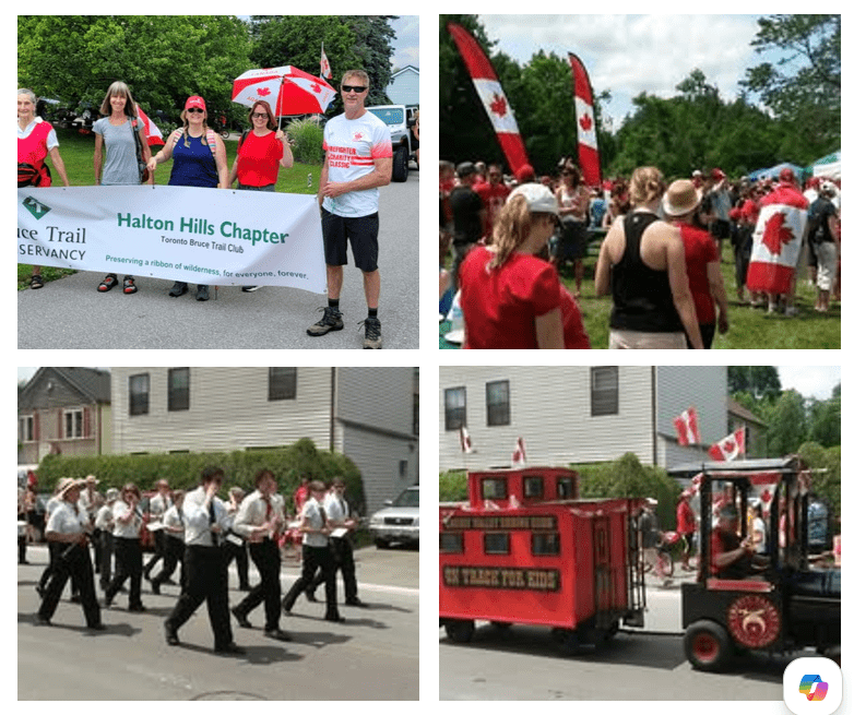
Canada Day Parade & Hike (Glen Williams)
https://hikes.brucetrail.org/event/canada-day-parade-and-hike-in-glen-williams/Sorry, the registration cut-off time for this hike has been reached.Not a member? Click here to join today!Hosting Club: Toronto
Category: Car Hike
Location (Google Maps): Ainley Trail, Glen WilliamsHike Leader(s): David Rowney Click here to contact Hike Leader(s)
Pace: Leisurely (2-3 km/hr)
Terrain: Level 2 (Intermediate – some hills and uneven surfaces, rocks and roots underfoot), Variable
Distance (km): 7 kmDescription
Looking for something fun to do on Canada Day? We’re offering you a chance to go on a hike along the Credit River footpath, then march with the Halton Hills Chapter of the Toronto Club at the Glen Williams Canada Day parade! This tiny hamlet known as the Glen, puts on a fantastic, small-town patriotic parade, just like in the movies. Afterwards, you can attend the celebration in the park, grab some food and picnic, listen to music, and tour various booths at the market. To sign up for this hike, you must also commit to participate in the parade (and bring a flag if you have one, and wear red colours!).The hike will be approximately 5k in length with an additional 2k related to the parade. Bring snacks (and a lunch if you don’t want to buy it at the park). There are washrooms at the park and we will stop for a bio break on the trail. The terrain is relatively flat with some uneven ground and a few modest hills. Wear sunscreen, hat, bring bug spray and lots of water. Dress appropriately for the weather. The pace will be moderate and relaxed.
Your itinerary for the day:
9:00 a.m. – 10 a.m.
Hike out from Glen Williams, along the Credit Valley footpath10:00 a.m. – 11:00 a.m.
Head back (there and back hike) to Glen Williams11:00 a.m. -11:30 a.m.
Walk over to the parade start on Beaver St.12:00 noon – 12:45 p.m.
March in the Canada Day parade1:00 p.m. – 3 p.m.
Enjoy the Canada Day celebrations in the parkContact David Rowney for more information 289-924-0713; david.rowney@gmail.com
(If you would like to only participate in the parade, contact Angelika Sommer: ASommer46@outlook.com)
Canada Day 🇨🇦 Hike - Meet time is 8:50am
https://hikes.brucetrail.org/event/canada-day-%f0%9f%87%a8%f0%9f%87%a6-hike-meet-time-is-850am/Sorry, the registration cut-off time for this hike has been reached.Not a member? Click here to join today!Hosting Club: Iroquoia
Category: General Hike
Location (Google Maps): Parking lot off of Mud StHike Leader(s): Ruth Moffatt Click here to contact Hike Leader(s)
Pace: Medium – 3 to 4 km/hr
Terrain: Moderate – Some hills and/or some poor footing, Strenuous – Hilly with steep climbs and some poor footing
Distance: 10-12kmDescription
Happy Canada Day! 🇨🇦 What better way to celebrate than a Bruce Trail Hike?!
Please wear all your Canadian colours and bring enough water and snacks for the hike. There may very well be an all- Canadian treat for everyone after the hike.9:30 am Hike & Picnic HAPPY CANADA DAY
https://hikes.brucetrail.org/event/930-am-hike-picnic-happy-canada-day/Sorry, the registration cut-off time for this hike has been reached.Not a member? Click here to join today!Hosting Club: Niagara
Category: Loop
Location (Google Maps):Locust Grove Picnic Area
Hike Leader(s): Marion Hanover Click here to contact Hike Leader(s)
Pace: Medium 3- 4 km/hr
Terrain: Moderate: some hills and some poor footing
Distance: 7 kmDescription
- Hike around Queenston area. Optional outdoor gathering in Locust Grove including pot luck picnic after the hike. Wear red and white for Canada Day!
RAINBOW HIKE🌈: Lollipop Loop to Limehouse🍭
https://hikes.brucetrail.org/event/rainbow-hike%f0%9f%8c%88-lollipop-loop-to-limehouse%f0%9f%8d%ad/Sorry, the registration cut-off time for this hike has been reached.Not a member? Click here to join today!Hosting Club: Toronto
Category: Car Hike
Location (Google Maps): We will meet at the Limehouse parking lot on 22 Sideroad (coordinates are 43.638113, -79.979272)Hike Leader(s): Monica Pasquali (she/her); Talise Liang (she/her) Click here to contact Hike Leader(s)
Pace: Leisurely (2-3 km/hr)
Terrain: Level 2 (Intermediate – some hills and uneven surfaces, rocks and roots underfoot)
Distance (km): 4 kmDescription
This hike is part of our Rainbow Hike program🌈, which aims to foster connection, visibility, and community among 2SLGBTQIA+ hikers and allies. We’ll be joined by Doug O’Neill, who leads Rainbow Hikes with the Iroquoia Bruce Trail Club, and Lana Hubbard, a transgender hike leader with the Caledon Bruce Trail Club.After everyone checks in with me at the meeting location, we will hike the main Bruce Trail towards Limehouse Conservation Area. We will then use the Black Creek Side Trail and the main trail to create a loop to visit the oldest draw kiln in Ontario, the infamous stone arch, and the “Hole-in-the-Wall” through escarpment rock. After our exploration of Limehouse Conservation Area we will retrace our steps back along the main trail to return to our parked cars. The complete 4 km route will resemble the shape of a lollipop, hence the name of this hike.🍭
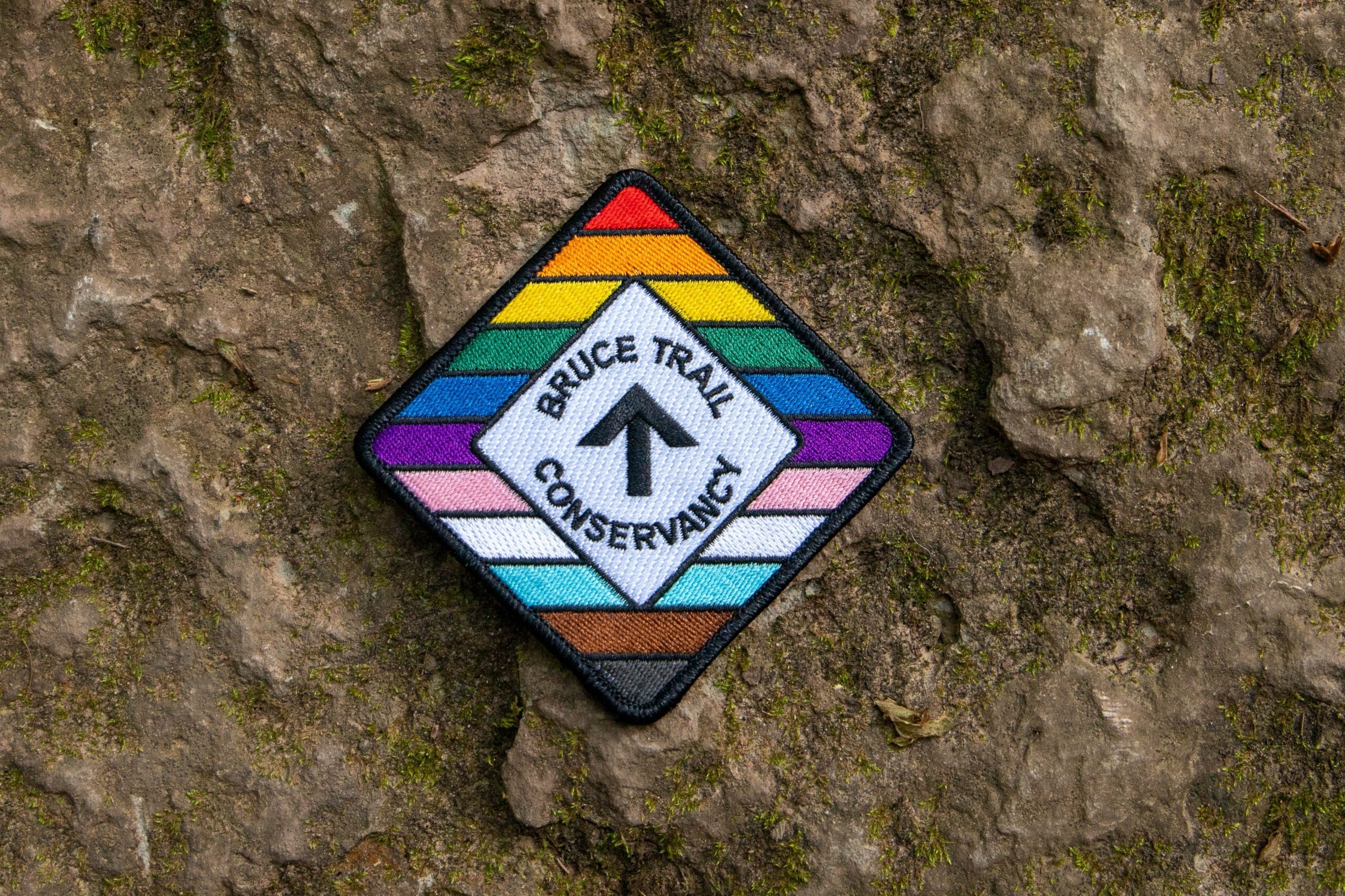
Everyone who participates in this hike will receive a FREE Bruce Trail Pride Badge as well as a sweet rainbow treat from me!
You should bring 2 litres of water and enough food for a 2-hour hike, comfortable hiking shoes and socks, a hat, a breathable shirt, and lightweight long pants (to minimize the risk of a tick bite). If rain is in the forecast then a rain jacket would also be a great idea. Sunblock and bug repellent are also useful if it’s a sunny and buggy day.
After the hike, anyone who is interested in joining me for some après-hike refreshments at nearby Spirit Tree Estate Cidery (https://spirittreecider.com) is more than welcome to do so. And if you don’t want to purchase your lunch at Spirit Tree then no worries — we’ll be eating at picnic tables in their outdoor Cider Gardens so you can bring your lunch and still enjoy some great post-hike vibes.
Looking forward to hiking with you on July 1st! And feel free to share this page/link with your 2SLGBTQIA+ friends and family.
For more information on Bruce Trail’s 2SLGBTQIA+ hikes, and to get information on upcoming Rainbow Hikes, please see the following webpage: https://brucetrail.org/pride-2026/
Car Hike: Forks of the Credit
https://hikes.brucetrail.org/event/car-hike-forks-of-the-credit-7/Sorry, the registration cut-off time for this hike has been reached.Not a member? Click here to join today!Hosting Club: Toronto, Caledon Hills
Category: Car Hike
Location (Google Maps): Forks of the Credit Provincial Park, Map 15Hike Leader(s): Al Brown Click here to contact Hike Leader(s)
Pace: Moderate (3-4 km/hr)
Terrain: Hilly, Level 2 (Intermediate – some hills and uneven surfaces, rocks and roots underfoot)
Distance (km): 14-15 kmDescription
We will complete a loop hike through the Park, crossing the Credit River above the Cataract Falls. Then we will follow the trail down into the valley to a viewpoint of the Falls itself. The hike will take us by the east bank of the Credit River south then turning east and then north through the main park past glacial features and old homesteads. Natural features include kettle lakes and milkweed fields where we might spot monarch butterflies.Refreshments in Belfountain or Erin after the hike.
The meeting point is the intersection of Mississauga Road and Cataract Road. Parking is located on both sides of the road. Park in marked areas only. To get to this point drive north on Mississauga Road about 3 km past Belfountain.
- 02July 2, 2026
8:00 am Long hike NEW Location. Bailey bridge Jordan
https://hikes.brucetrail.org/event/800-am-long-hike-new-location-bailey-bridge-jordan/Sorry, the registration cut-off time for this hike has been reached.Not a member? Click here to join today!Hosting Club: Niagara
Category: In and Out
Location (Google Maps):Bailey bridge Jordan
Hike Leader(s): Alan Laver Click here to contact Hike Leader(s)
Pace: Brisk 4-5 km/hr
Terrain: Strenuous: hilly, with steep climbs, poor footing
Distance: ~10kDescription
This will be our permanent location . Hike up from the Bailey bridge to Balls Falls and explore the trailsYou must register for each hike. Bring Poles, snack and a drink. Dress for the weather
Hiking Around Jordan
https://hikes.brucetrail.org/event/hiking-around-jordan-61/Sorry, the registration cut-off time for this hike has been reached.Not a member? Click here to join today!Hosting Club: Niagara
Category: Hike
Location (Google Maps): Sho’Arishon Park (Jordan Hollow)Hike Leader(s): Bill Russell Click here to contact Hike Leader(s)
Pace: Medium 3- 4 km/hr
Terrain: Moderate: some hills and some poor footing
Distance: 7 kmDescription
Hiking in and around Jordan, Rainforth Trail and Balls Falls, alternating every 3 weeks.
CANCELLED - Halton Agreement Forest
https://hikes.brucetrail.org/event/halton-agreement-forest-3/Sorry, the registration cut-off time for this hike has been reached.Not a member? Click here to join today!Hosting Club: Iroquoia
Category: General Hike
Location (Google Maps): Meet at the corner of 10 Side Road and 4th Line at 9:15 am.Hike Leader(s): Karen Bergmann Click here to contact Hike Leader(s)
Pace: Medium – 3 to 4 km/hr
Terrain: Moderate – Some hills and/or some poor footing
Distance: 8 kmsDescription
Meeting at 9:15 am, we will hike the bike trails around a big loop. Bring bug spray/bug net and plenty of water.Urban Walk: Valley View/Huntington Park
https://hikes.brucetrail.org/event/urban-walk-valley-view-huntington-park-5/Sorry, the registration cut-off time for this hike has been reached.Not a member? Click here to join today!Hosting Club: Toronto
Location (Google Maps): Parking lot is off Sycamore Drive, East of Bayview , across Starbucks plaza
Bus 91 from Finch East station stops at Sycamore station.Hike Leader(s): Mohammad Aghamiri
Pace: Moderate (3-4 km/hr)
Terrain: Hilly, Level 2 (Intermediate – some hills and uneven surfaces, rocks and roots underfoot)
Distance (km): 6-7 kmDescription
We will explore Valleyview and Maple View parks, and walk along German Mill Creak, in return we stop in Huntington park and have snack under beautiful shed.Although this is considered an “Urban Walk”, you can expect some hills up and down and uneven surfaces with tree roots. Please bring hiking poles, water and snacks.
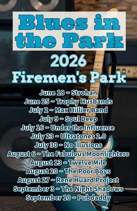
Hike, followed by Blues in the Park
https://hikes.brucetrail.org/event/hike-followed-by-blues-in-the-park/Sorry, the registration cut-off time for this hike has been reached.Not a member? Click here to join today!Hosting Club: Niagara
Category: Leisurely
Location (Google Maps): 2275 Dorchester Rd, Niagara Falls, ON L2J 0H1Hike Leader(s): Marion Hanover Click here to contact Hike Leader(s)
Pace: Leisurely <3 km/hr
Terrain: Moderate: some hills and some poor footing
Distance: 4 kmDescription
Hike series Thursday evenings throughout the summer, followed by optional Blues in the Park. Come prepared to hike 1.5 leisure hike. Various blues bands free of charge starting at 7pm in the park. Bring lawn chair, beverage and snack to share. - 03July 3, 2026
Early Morning Hike
https://hikes.brucetrail.org/event/early-morning-hike/Sorry, the registration cut-off time for this hike has been reached.Not a member? Click here to join today!Hosting Club: Iroquoia
Category: General Hike
Location (Google Maps): Kerncliff Park, Parking Lot (Parking capacity 30)
Access to the main trail is via Kerncliff Park Side Trail. (no access from Hwy 5)Hike Leader(s): Madeline Grady Click here to contact Hike Leader(s)
Pace: Medium – 3 to 4 km/hr
Terrain: Moderate – Some hills and/or some poor footing
Distance: 8 kmDescription
Come start your day with a walk in the woods and listen to birds chirping.The trail will start and end with hills. The middle with be mostly flat but some rocks and tree roots to content with.
Bonus: Getting natural light early in the morning helps reset your internal clock, anchors your circadian rhythm and gives us natural red light therapy from that early morning sun.
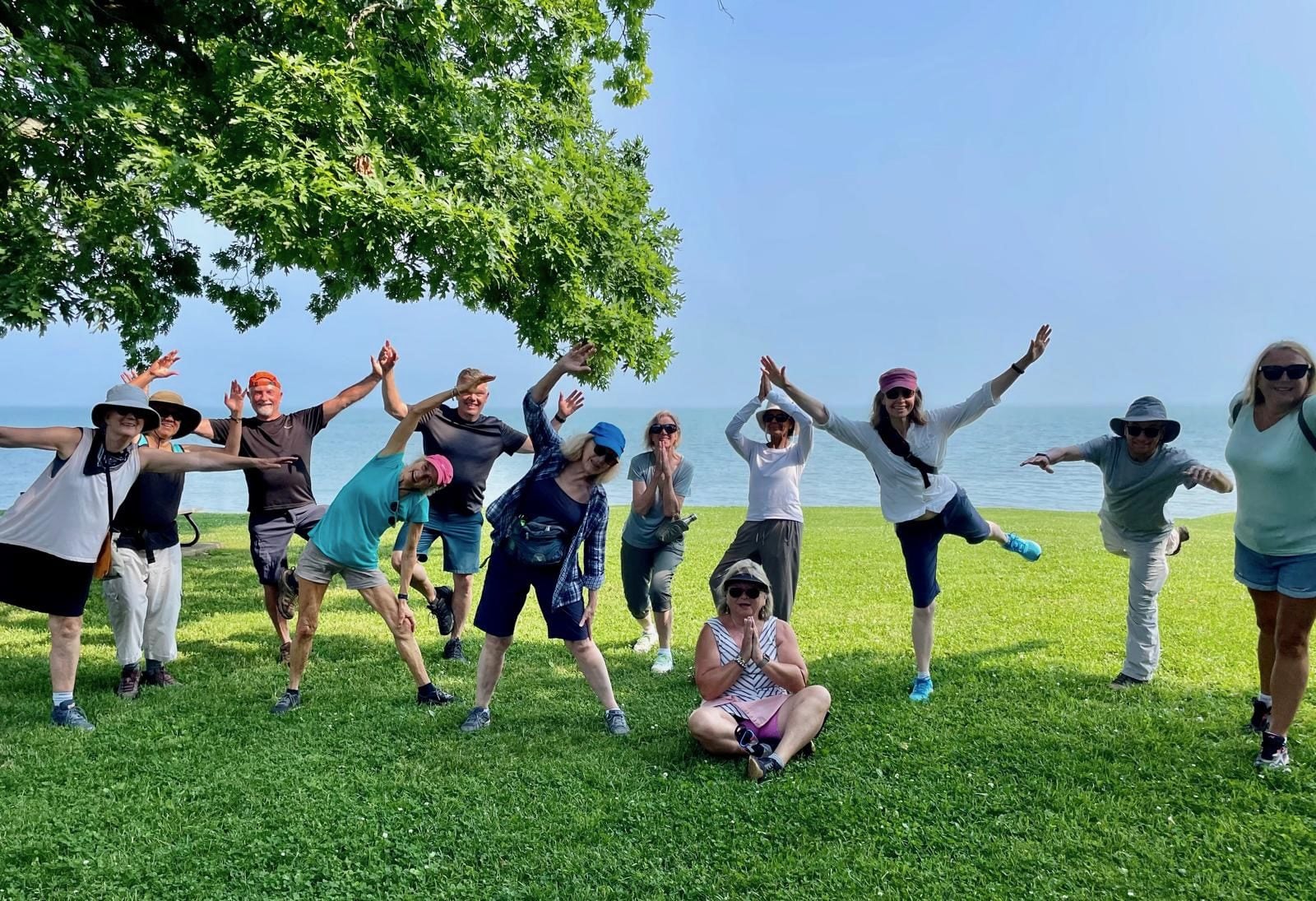
9:00 am Niagara on the Lake Tour & Some Yoga
https://hikes.brucetrail.org/event/900-am-niagara-on-the-lake-tour-some-yoga-25/Sorry, the registration cut-off time for this hike has been reached.Not a member? Click here to join today!Hosting Club: Niagara
Category: Urban
Location (Google Maps):Veteran’s Memorial Park, park just outside the park on King St.
Hike Leader(s): Robin Garrett Click here to contact Hike Leader(s)
Pace: Leisurely <3 km/hr
Distance: 5 km
Description
Enjoy the benefits of pausing for a yoga practice as we tour through the trails, parkland and Historic Niagara-on-the-Lake. No mat required. Movement will focus on a flow of standing poses designed especially for hikers. Plan to stay for conversation and a warm cup of coffee or tea at Sweets & Swirls, Community Centre, Niagara Stone Road, NOTL.
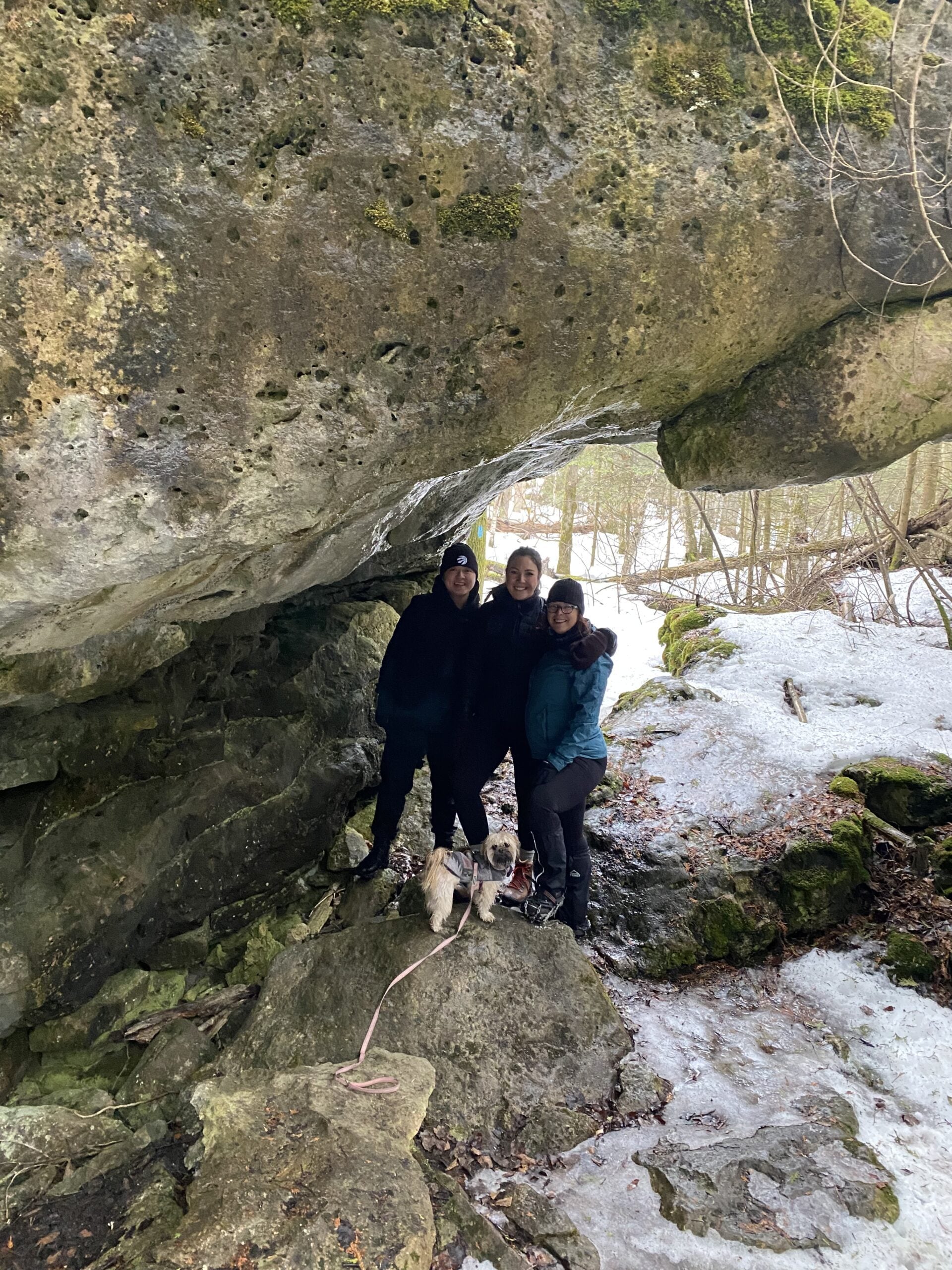
Rural Rocks and Obese Side Trails
https://hikes.brucetrail.org/event/rural-rocks-and-obese-side-trails-2/Sorry, the registration cut-off time for this hike has been reached.Not a member? Click here to join today!Hosting Club: Sydenham, Peninsula
Category: General Hike
Location (Google Maps): This satellite loop side trail is not connected to the Main Trail. From Wiarton , take Bruce Rd 13 west for 2 km to Northacres Rd. Parking is 30 meters north of the intersection. Alternatively, if you are interested in carpooling contact the Hike Leader.Hike Leader(s): Ian Mills
Pace: Medium: 3 to 4 km/h
Terrain: Moderate: Some hills and/or poor footing
Distance: 5 kmDescription
We will be hiking clockwise along the Rural Rocks side trail through a wonderland of enormous rocks left from a time when this area was the shoreline of an ancient glacier lake. We will also explore the Obese side trail which offers challenging terrain . There will be rugged hiking along with scrambling around and over numerous boulders. Please wear proper hiking boots/shoes and a walking stick may be helpful. Let me know if you are interested in lunching in Wiarton afterwards and I can sort reservations. BTC Map #35.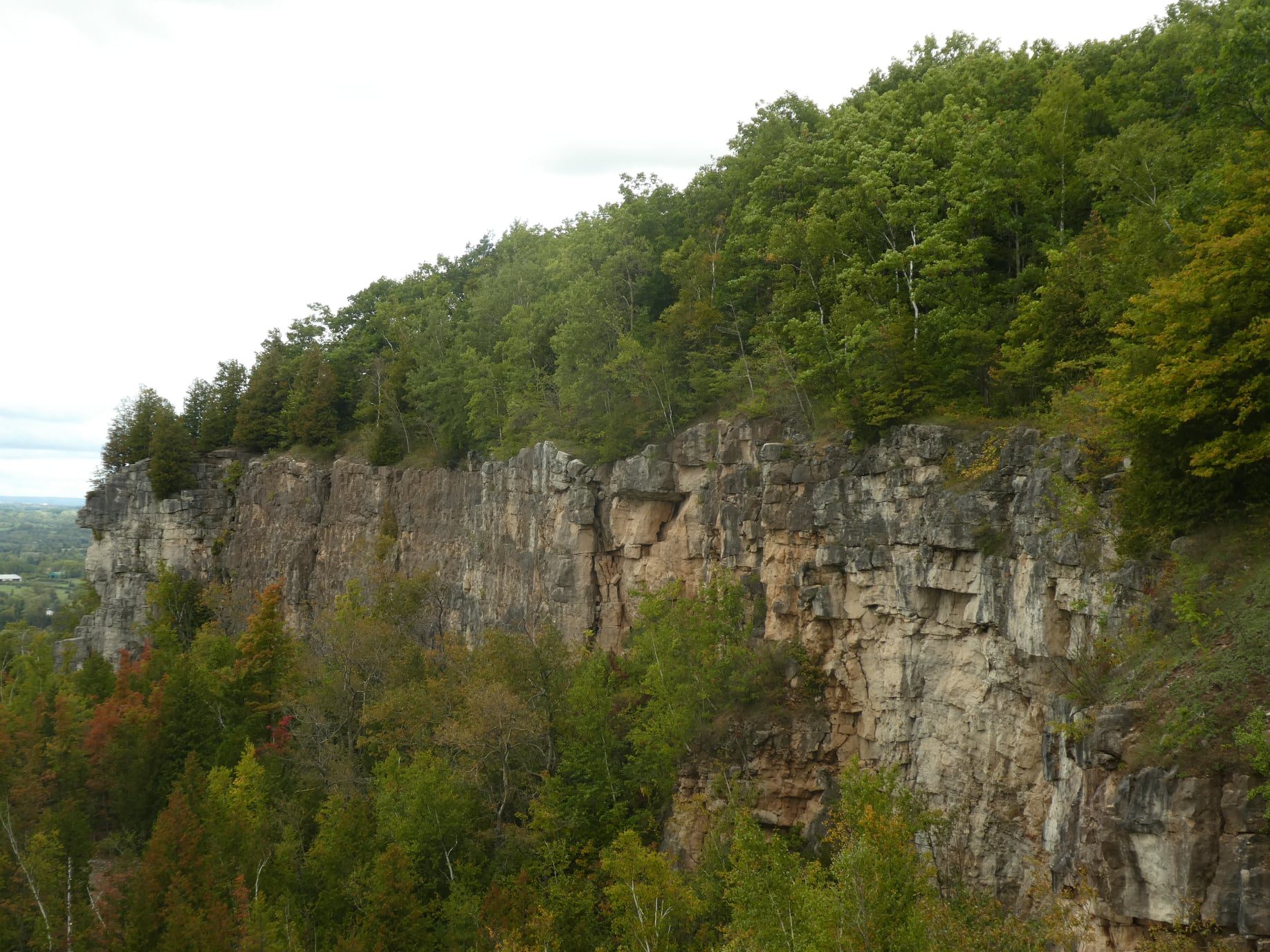
CANCELLED - Afternoon Hike - Kelso Summit (reservation required)
https://hikes.brucetrail.org/event/afternoon-hike-kelso-summit-reservation-required-2/Sorry, the registration cut-off time for this hike has been reached.Not a member? Click here to join today!Hosting Club: Iroquoia
Category: Afternoon/Evening Hikes
Location (Google Maps): Meet at 4:15 pm in the Kelso Summit parking lot on Steeles Ave.Hike Leader(s): Karen Bergmann Click here to contact Hike Leader(s)
Pace: Medium – 3 to 4 km/hr
Terrain: Moderate – Some hills and/or some poor footing
Distance: 7 kmsDescription
Meeting at 4:15 pm, we will hike along a few of the trails in a loop. Please reserve your time for KELSO SUMMIT at www.conservationhalton.caBring bug spray/bug net.
- 04July 4, 2026
Car Hike: Jefferson Forest/Bond Lake
https://hikes.brucetrail.org/event/car-hike-jefferson-forest-bond-lake-3/Sorry, the registration cut-off time for this hike has been reached.Not a member? Click here to join today!Hosting Club: Toronto
Category: Car Hike
Location (Google Maps):1245 Bethesda Side Rd, Richmond Hill, ON L4E 1A2 ( Bethesda Trail Head Parking lot)
Hike Leader(s): Amir Alemohammad Click here to contact Hike Leader(s)
Pace: Moderate (3-4 km/hr)
Terrain: Flat, Hilly, Level 2 (Intermediate – some hills and uneven surfaces, rocks and roots underfoot), Variable
Distance (km): 12-13KmDescription
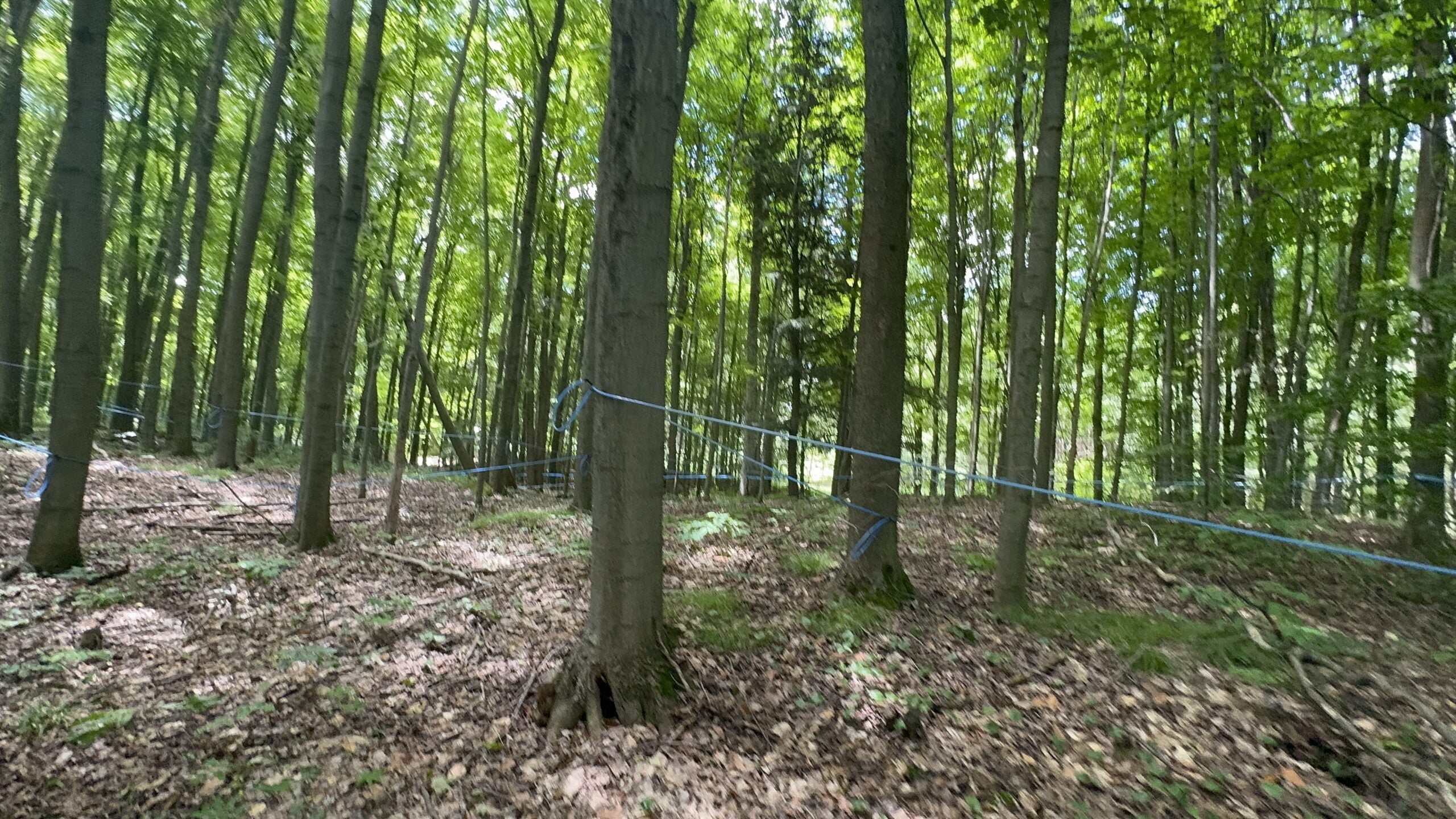
Let’s roll the hills of the Jefferson Forest and around the Bond Lake. Every week we hike in Jefferson Forest, located in the heart of Richmond Hill, it boasts numerous hiking trails. This 3.5 hour hike can range from 14 to 15 kilometres, depending on the weather conditions. Remember to bring water, snacks, hiking boots, poles, and your camera. Not recommended for beginners. Park in the free Bethesda parking lot and avoid parking along the road. Dress appropriately for the weather. Difficulty Level: 2 (Moderate).Please arrive @7:45AM for start of 8:00AM.
This is a joint hike with the Oak Ridges Trail Association (ORTA).
what3words:
https://w3w.co/twisting.mailer.awakes
Car Hike: Duncan Crevice Caves , Pinnacle and Metcalf Rocks
https://hikes.brucetrail.org/event/car-hike-duncan-crevice-caves-pinnacle-and-metcalf-rocks/Sorry, the registration cut-off time for this hike has been reached.Not a member? Click here to join today!Hosting Club: Toronto, Beaver Valley
Category: Car Hike
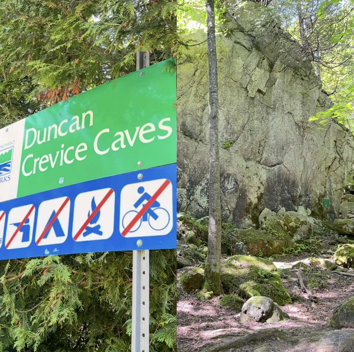
Location (Google Maps): Duncan Crevice Caves Provincial Nature Reserve parking lot on the edge of 9th Sideroad east of Blue Mountain-Euphrasia Townline. GPS N44.423216, W80.469565. Km33.3, map25, edition31.Hike Leader(s): Mr Ross Click here to contact Hike Leader(s)
Pace: Brisk (4-5 km/hr), Moderate (3-4 km/hr)
Terrain: Challenging, Level 2 (Intermediate – some hills and uneven surfaces, rocks and roots underfoot), Rocky, Variable
Distance (km): 12.5 kmDescription
At a moderate to brisk pace we’ll hike Duncan Crevice Caves Provincial Nature Reserve and explore Pinnacle Rock and Metcalfe Rock stunning formation. We’ll have plenty of time for picture taking of the amazing landscape. Please equip yourself with durable hiking shoe and bring poles if you’re using. Carry sufficient hydration fluid, snacks and lunch. Bring sunscreen and head covering for sun protection and bug repellent in the event our friendly mosquitos welcome us. Carry your personal medication (if any) first aid kit and health card. Don’t forget your enthusiasm. Please arrive fifteen minutes early.
Tails on the Trail - A dog friendly hike! Meet at 8:20am
https://hikes.brucetrail.org/event/tails-on-the-trail-a-dog-friendly-hike-meet-at-820am/Sorry, the registration cut-off time for this hike has been reached.Not a member? Click here to join today!Hosting Club: Iroquoia
Category: Tails on the Trail
Location (Google Maps): Parking lot off of Ridge Rd, in GrimsbyHike Leader(s): Ruth Moffatt Click here to contact Hike Leader(s)
Pace: Medium – 3 to 4 km/hr
Terrain: Moderate – Some hills and/or some poor footing
Distance: 5kmDescription
Please join us for this dog-friendly hike where we will hike with our canine companions from the parking area over to Beamer’s Conservation Area and around the loop.
Please ensure your dog is leashed, well-socialized and all dog waste is carried out. Note: There may be a waste bin in the area. We will hike rain or shine. Please disregard the notice on the system generated confirmation about dogs. Please bring enough water and treats for you and your dog.Car Hike: Hollad River Trail
https://hikes.brucetrail.org/event/car-hike-hollad-river-trail/Sorry, the registration cut-off time for this hike has been reached.Not a member? Click here to join today!Hosting Club: Toronto
Category: Car Hike
Location (Google Maps): We start the hike from Evans park ,you may park along benville cres off BayviewHike Leader(s): MOHAMMAD AGHAMIRI Click here to contact Hike Leader(s)
Pace: Moderate (3-4 km/hr)
Terrain: Level 2 (Intermediate – some hills and uneven surfaces, rocks and roots underfoot), Variable
Distance (km): 14-15 kmDescription
We start the hike from Evans park ,walking north along Holland River , passingSheppard’s Bush Conservation Area to Newmarket trails and return
School Bus Hike: Long Sault C.A.
https://hikes.brucetrail.org/event/school-bus-hike/Sorry, the registration cut-off time for this hike has been reached.Not a member? Click here to join today!Trip Information
Departure Time: 08:30
Return to City Time: 18:00
Departure Point: York Mills Bus PickupOptional Items
Hosting Club: Toronto
Category: Bus Hike
Location (Google Maps): Long Sault Conservation AreaHike Leader(s): Tom Swales, Celia Ho Click here to contact Hike Leader(s)
Pace: Moderate (3-4 km/hr)
Terrain: Level 2 (Intermediate – some hills and uneven surfaces, rocks and roots underfoot), Variable
Distance (km): 11-12 kmDescription
Join us for an 11 km hike in Long Sault Conservation Area on the Barred Owl, Eastern Bluebird, Wild Turkey, and Oak Ridges Moraine Trails. Once part of the Agreement Forest program operated by the Ontario Ministry of Natural Resources, the Conservation area includes close to 400 hectares of matures forest, plantation, wetland, and Meadow. The trails range from gently sloping and straight to technical rolling and quickly turning. After our hike we will drive to Port Perry on Lake Scugog for free time to enjoy the park, the historic main street, cafes, or the Old Flame craft brewery. Don’t miss Hank’s Pastries, a bakery with a 100+ year tradition known for their specialty donuts and “big as your face” apple fritters (online ordering is available).Seven Rivers Hike Badge Series - Hike 6
https://hikes.brucetrail.org/event/seven-rivers-hike-badge-series-hike-6/Sorry, the registration cut-off time for this hike has been reached.Not a member? Click here to join today!This is a Multi-Day Hike
You are signing up for the following dates and times:
2026-07-04 at 08:45Hosting Club: Dufferin Hi-Land
Category: General Hike
Location (Google Maps): Nottawasaga River Caledon Section Map 18
Parking: Hockley Road Parking lot – west of the Black Birch restaurant and east of 2nd Line.Hike Leader(s): Tristan Goguen and Pat Foley Click here to contact Hike Leader(s)
Pace: Medium
Terrain: Moderate
Distance: 13.1 KmDescription
This series features rivers in our Headwaters area: the Humber, Nottawasaga, Boyne, Pine, Mad, Noisy and Pretty Rivers and includes 7 hikes from three Bruce Trail Sections: Blue Mountains (3), Dufferin Hi-Land (2) and Caledon Hills (2).Today we will walk by and around the Nottawasaga River. From the parking area on Hockley Road we follow the road to the main trail starting at Hockley Rd, then follow the main trail north to the Tom East Side Trail. We will connect again to the main trail and head north along the main trail to the Isabel East Trail. From there we will follow the main trail until we reach the north end of the Cam Snell Side Trail. At the end of the Cam Snell Side Trail we will connect again to the main trail and follow it back to Hockley Road and the parking area.
Please be prepared for the weather, we will hike rain or shine. Ensure you have enough water,lunch and snacks, sunscreen and bug repellent. Hats and sunglasses are recommended as are poles and sturdy shoes.
For those wishing to earn their 7 Rivers – complete all 7 hikes, badges will be available on the last day from the hike leaders at a cost of $10 for members and $15 for non members.
Anyone completing make-up hikes may log their hikes and apply directly to the Dufferin Highlands BT Club for the badge.
RAINBOW HIKE: Smokey Hollows to Clappison Woods & Beyond
https://hikes.brucetrail.org/event/rainbow-hike-smokey-hollows-to-clappison-woods-beyond/Sorry, the registration cut-off time for this hike has been reached.Not a member? Click here to join today!Hosting Club: Iroquoia
Category: Rainbow Hike
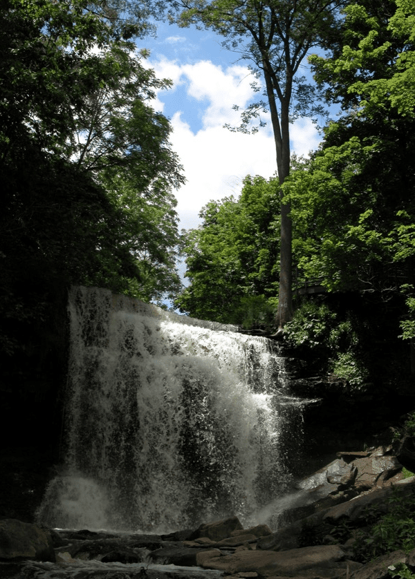
Location (Google Maps): Smokey Hollow Waterfalls, WaterdownHike Leader(s): Doug O’Neill Click here to contact Hike Leader(s)
Pace: Medium – 3 to 4 km/hr
Terrain: Moderate – Some hills and/or some poor footing, Strenuous – Hilly with steep climbs and some poor footing
Distance: 13-14 kmDescription
Come by car or public transit for this all-inclusive 2SLGBTQIA+ friendly hike from Smokey Hollows Waterfall, Waterdown to Clappison Woods and beyond.This is an in-and-out hike, starting and returning to Smokey Hollow Waterfalls, Waterdown.
Please arrive at the Smokey Hollow parking lot, 80 Mill St. South, by 8:45 a.m. for a 9 a.m. start. Parking fills up quickly.
We’ll start at Smokey Hollows and follow the main trail along Grindstone Creek, through Clappison Woods and beyond the “tunnel.” We’ll be in deciduous forest for much of the day so we’ll have shade. Some excellent lookouts. Expect hills, a few steep climbs and descents, plus some rocky bits. We’ll hike about 6.5-7 km each way.
By public transit. There are various HSR options from Hamilton that will take you to Mills Street, Waterdown. One popular route from Aldershot GO station is to hop on the local 18 Burlington bus and get off at “Mill at Mountain Brow,” a 5-minute walk to the Smokey Hollows parking lot. Another option from Hamilton central: Take the No. 1 “East to Appleby GO” from King street to Plains at Waterdown, where you will transfer to the No. 18 (which goes via Aldershot).
Coming by GO Train from Toronto, Oakville and points east: : Simply get off at Aldershot GO, and take the above-mentioned local 18 bus.
By car: There is unpaid parking at Smokey Hollow. Note: It fills up early. You can look for parking downtown Waterdown, and walk to Smokey Hollows Parking lot. PLEASE allow yourself enough time to find parking as we’re meeting at 8:45 a.m latest. There are no washroom facilities at the starting point so you may wish to hit a Tim Horton’s beforehand.
Everyone is invited for a post-hike coffee or cold pint in downtown Waterdown.
Bring 1.5 – 2 litres of water and lunch, as well as sunscreen, insect repellent, hat, hiking boots or sturdy footwear. Avoid wearing shorts as it’s tick season.
Get your complimentary Bruce Trail Rainbow badge .
Feel free to reach out to the Hike Leader if you have any questions – “Click here to contact Hike Leader” on this form.
Family Lime Kiln Hike
https://hikes.brucetrail.org/event/lime-kiln-hike/Sorry, the registration cut-off time for this hike has been reached.Not a member? Click here to join today!Hosting Club: Blue Mountains
Category: Organized Hike
Location (Google Maps): Option 1: Meet at Tim Horton’s First Street at 9:00 a.m.
Option 2: Meet at Bruce Trail Parking lot on County Road 91 West at 9:15 a.m. – from Duntroon go West past Concession 10 and the parking lot is located on the North side of County Rd. 91.Hike Leader(s): Murray Morrison Click here to contact Hike Leader(s)
Pace: Leisurely – 3 km/hr. or less
Terrain: Easy – Mostly flat and usually good footing
Distance: 4 KilometresDescription
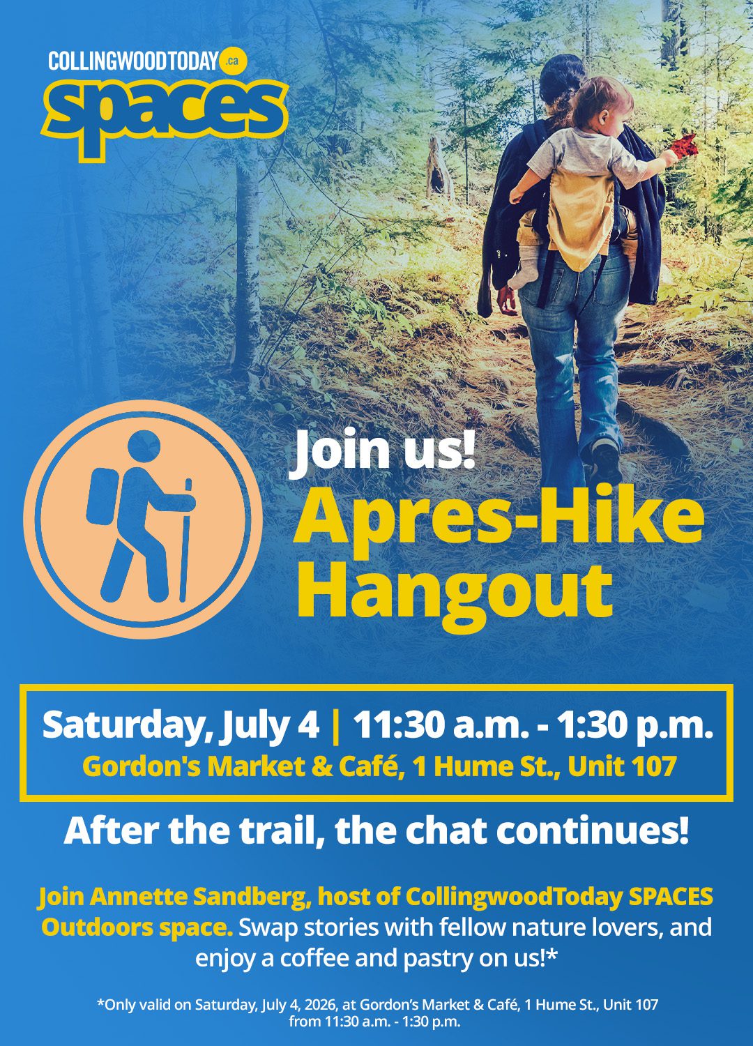
This is a family friendly hike. We will be travelling at a very leisurely pace to view Frank’s Lime Kiln and then enjoying the escarpment views as we make our way to the Wedding Tree. The terrain is generally flat with some uneven footing. The hike will begin from the parking lot and go one concession north (Sideroad 26/27 Nottawasaga) and then return to the parking lot on County Road 21. There is a shorter loop of 2 km that is an option for those that do not wish to do the complete route. Afterwards, we will be going to Gordon’s Market & Cafe for complimentary refreshments and pastry arranged by CollingwoodToday Spaces. All are welcome!Easy Does It Hike: Battle of Chippawa
https://hikes.brucetrail.org/event/easy-does-it-hike-battle-of-chippawa/Sorry, the registration cut-off time for this hike has been reached.Not a member? Click here to join today!Hosting Club: Niagara
Category: Leisurely
Location (Google Maps): Chippawa Battlefield Site, Niagara Parkway, Niagara FallsHike Leader(s): Diane Marlatt Click here to contact Hike Leader(s)
Pace: Leisurely <3 km/hr
Terrain: Easy: mostly flat, good footing
Distance: 7kmDescription
Parking available nearby on Edgeworth St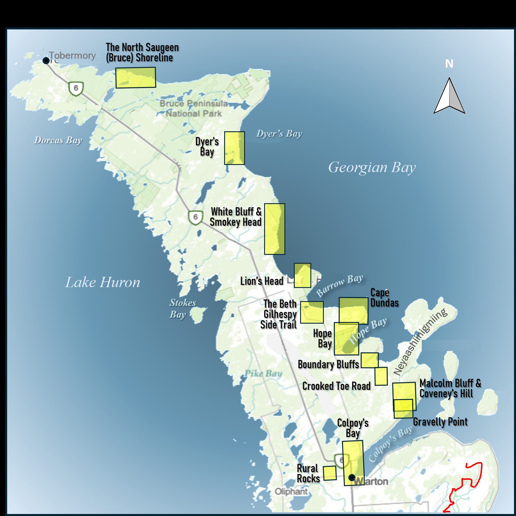
Geology Hike and Badge Series - Cape Dundas
https://hikes.brucetrail.org/event/geology-hike-and-badge-series-cape-dundas/Sorry, the registration cut-off time for this hike has been reached.Not a member? Click here to join today!Hosting Club: Peninsula
Category: Geology Hike
Location (Google Maps): Cape DundasHike Leader(s): Beth Gilhespy Click here to contact Hike Leader(s)
Pace: Leisurely (2.0 – 3.0 km/h): A relaxed pace with frequent breaks and a focus on enjoyment.
Terrain: Easy: Flat forested sections or lowland trails., Moderate: Rolling hills, mild slopes and rocky paths.
Distance: 6.2Description
Join the adventure and earn the inaugural Peninsula Geology Badge! Over a stretch of 13 hikes and a couple of extra stops, we will explore the fascinating geology of the Peninsula to learn about the rocks, the shoreline features, glaciation, fossils and all things earthy. The 13 hikes are from the book “Walking Through Time – Exploring the Geology of the Saugeen (Bruce) Peninsula”. Having a copy will give you a lot of great information, but you do not have to purchase the book to attend and enjoy the hikes. Just bring your curiosity! We will make sure to hit all the locations that qualify for the beautiful new Walking Through Time – Saugeen (Bruce) Peninsula geology hike badge. If you would like to purchase a book I will have some available on the hikes, or you can pick one up from the BTC Head Office, at Ginger Press in Owen Sound, Suntrail Source for Adventure in Hepworth, the Shop at 84 Main in Lion’s Head and at Reader’s Haven in Tobermory.You are welcome to come on just a few of the hikes or on all of them, and the dates and hikes are as follows:
Date Geology Hike km
Saturday May 2, 2026 Colpoy’s Bay 9.0
Saturday May 9, 2026 Gravelly Point (am) and Rural Rocks (pm) 8.6
Saturday May 16, 2026 Malcolm Bluff 7.3
Sunday May 17, 2026 White Bluff/Smokey Head 11.8
Sunday May 24, 2026 Crooked Toe Road 5.5
Sunday May 31, 2026 Hope Bay 8.1
Sunday June 14, 2026 Boundary Bluffs 5.2
Saturday July 4, 2026 Cape Dundas 6.2
Saturday July 11, 2026 Beth Gilhespy Side Trail 7.6
Saturday August 8, 2026 Lion’s Head 11.0
Saturday August 15, 2026 Dyer’s Bay Loops 7.5
Saturday August 22, 2026 North Saugeen (Bruce) Shoreline 8.0
Meeting times will vary depending on the hike, but will generally be some time between 9 am and 10 am. Information on exact meeting times and locations will be sent out a few days prior to the hike.