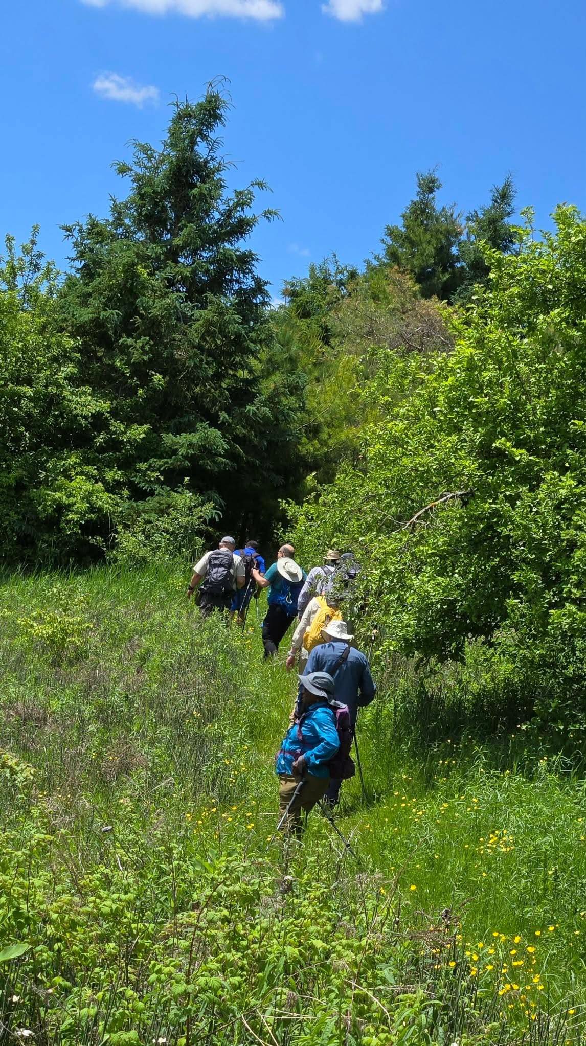
Hike Schedule
Join us for a hike! Registration required:
All hikes available to BTC members. Some hikes are open to non-members.
TIP: The calendar view displays up to 7 hikes on a day, but often there are more. Click “More events” to see them all.
Categories
- 21June 21, 2026
Car Hike: Jefferson Forest/Bond Lake
https://hikes.brucetrail.org/event/car-hike-jefferson-forest-bond-lake-2/Sorry, the registration cut-off time for this hike has been reached.Not a member? Click here to join today!Hosting Club: Toronto
Category: Car Hike
Location (Google Maps):1245 Bethesda Side Rd, Richmond Hill, ON L4E 1A2 ( Bethesda Trail Head Parking lot)
Hike Leader(s): Amir Alemohammad Click here to contact Hike Leader(s)
Pace: Moderate (3-4 km/hr)
Terrain: Flat, Hilly, Level 2 (Intermediate – some hills and uneven surfaces, rocks and roots underfoot)
Distance (km): 15KmDescription
Let’s roll the hills of the Jefferson Forest and around the Bond Lake. Every week we hike in Jefferson Forest, located in the heart of Richmond Hill, it boasts numerous hiking trails. This 3.5 hour hike can range from 14 to 15 kilometres, depending on the weather conditions. Remember to bring water, snacks, hiking boots, poles, and your camera. Not recommended for beginners. Park in the free Bethesda parking lot and avoid parking along the road. Dress appropriately for the weather. Difficulty Level: 2 (Moderate).Please arrive @7:45AM for start of 8:00AM.
This is a joint hike with the Oak Ridges Trail Association (ORTA).
what3words:
https://w3w.co/twisting.mailer.awakes
Ivan Lemcke Side Trail and Sunshine Shores
https://hikes.brucetrail.org/event/ivan-lemcke-side-trail-and-sunshine-shores/Sorry, the registration cut-off time for this hike has been reached.Not a member? Click here to join today!Hosting Club: Peninsula
Category: Peninsula Blue Series
Location (Google Maps): Bruce Trail Parking at Rush Cove RoadHike Leader(s): Praveen Sohrab Click here to contact Hike Leader(s)
Pace: Medium (3.0 – 4.5 km/h): A comfortable pace for most hikers with steady progress.
Terrain: Moderate: Rolling hills, mild slopes and rocky paths.
Distance: 6 kmDescription
Peninsula BTC is offering a series of hikes covering all of the side trails on the Peninsula section of the Bruce Trail. These hikes are a great opportunity for those who want to do some hiking but don’t want to commit to a full end-to-end; for those who have completed an end-to-end and want to explore more of the beautiful trails on the Peninsula and for locals and visitors who want to get out on the trail on the weekend.The series will include 27 hikes on Sundays (and maybe the odd Saturday) over 2026 and 2027, covering more than 150 km of side trails or 78 trails! We will be offering hikes on a roughly biweekly basis, with hikes posted approximately two months in advance. The hikes will generally be loop hikes, although car shuttling may be required for a few hikes. Register for each hike individually – no need to commit to all 27 hikes!
For those who would like to earn the Peninsula Side Trails badge, these hikes provide a chance to join a group for some or all of the side trail hikes.
This hike features the Ivan Lemcke Side Trail and a section of the main trail along the shore near Rush Cove to create a 6 km loop hike. The hike features some nice views of the headlands on Georgian Bay, interesting geology along the shore and a mature forest with lots of spring action like emerging ferns and birds.
If you would like to be notified when the side trail hikes are posted, go to the bottom of the Hikes page on the PBTC website to sign-up for hike notifications.
Caledon Hills E2E in 4 - Hike #4
https://hikes.brucetrail.org/event/caledon-hills-e2e-in-4-hike-4/Sorry, the registration cut-off time for this hike has been reached.Not a member? Click here to join today!Hosting Club: Caledon Hills
Category: End-to-End
Location (Google Maps): Roadside parking southwest of km 48.4 at Boston Mills Rd. just west of the Mississauga Rd. intersection. 866 Boston Mills Rd., Terra Cotta, ON L7C 0L7, CanadaHike Leader(s): Dan Patterson Click here to contact Hike Leader(s)
Pace: Medium – 3 to 4 km/hour
Terrain: Strenuous – hilly with steep climbs and some poor footing
Distance: 18.34 kmDescription
Meet at Boston Mills Road west of Mississauga Road at 8:45 a.m.. We will shuttle to Willoughby Road at 9:00 a.m. This is an End-to-End hike series to complete the Caledon section of the Bruce Trail in 4 hikes. We will be hiking from the north end to the south end. Join for all or as many hikes as desired – you will need to register for each hike in the series which will take place on the following dates: May 17, 24, June 7, 21 Since this is a group hike, please consider your fitness level before registering. We will be walking at a pace of 3 km – 4 km per hour and hikers will need to keep up with the person in front of them for the duration of the hike. The hike series will also involve car shuttles and every hiker is expected to participate as drivers.Weather conditions can be variable, dressing in layers is recommended. Hiking boots are required and hiking poles are strongly recommended. Bring plenty of fluids, electrolytes and a snack. This section is challenging with many hills.
Centennial Park, Fenwick, On
https://hikes.brucetrail.org/event/centennial-park-fenwick-on/Sorry, the registration cut-off time for this hike has been reached.Not a member? Click here to join today!Hosting Club: Niagara
Category: Leisurely
Location (Google Maps): 999 Church St., Fenwick OnHike Leader(s): Diane Marlatt Click here to contact Hike Leader(s)
Pace: Leisurely <3 km/hr
Terrain: Easy: mostly flat, good footing
Distance: 5KmDescription
Limehouse Side Trails
https://hikes.brucetrail.org/event/limehouse-side-trails/Sorry, the registration cut-off time for this hike has been reached.Not a member? Click here to join today!Hosting Club: Iroquoia
Category: General Hike
Location (Google Maps): Meet roadside at 9:15 am on 5th Line, just north of Limehouse.Hike Leader(s): Karen Bergmann Click here to contact Hike Leader(s)
Pace: Medium – 3 to 4 km/hr
Terrain: Moderate – Some hills and/or some poor footing
Distance: 9 kmsDescription
Come explore the side trails just north of Limehouse. We will meet roadside on 5th Line and hike the Beeney Creek Side Trail to the main trail. Then down the Ridge Side Trail to the main trail and around the Todd Bardes ST loop back to the main trail to Ancient Maple ST and back to the main trail, finishing along the Beeney Creek ST. Bring sufficient water as well as bug spray/bug net.
Waterfront Trail 1/11 - Rattray Marsh
https://hikes.brucetrail.org/event/waterfront-trail-1-11-rattray-marsh/Sorry, the registration cut-off time for this hike has been reached.Not a member? Click here to join today!Hosting Club: Toronto
Category: Urban Walk
Location (Google Maps):Mississauga Waterfront Trail
Hike Leader(s): Brian Rideout Click here to contact Hike Leader(s)
Pace: Moderate (3-4 km/hr)
Terrain: Flat
Distance (km): 9.3 kmDescription
Please join me at Union Station under the clock inside the Great Hall no later than 9:00 am. We will take the 9:14 train to Clarkson, arriving 9 :51 am. If you want to meet us in Clarkson be there at that time. We start hiking at 10:00 am. Consider purchasing the $10 day pass for the GO train for use with your smart phone. Some of you may find the regular senior rate is cheaper.We will hike from Clarkson to Port Credit through Rattray Marsh and along the shoreline. The estimated distance is 9.9 km. Here is an online map of our route Rattray Marsh to Port Credit https://onthegomap.com/s/m4m7g3sj
Bring a snack, at least 2 liters of water, sun screen and bug spray.
Side Trail Challenge #7 – Rockway, Louth, Staff, Midway, Lower Falls
https://hikes.brucetrail.org/event/side-trail-challenge-7-rockway-louth-staff-midway-lower-falls/Sorry, the registration cut-off time for this hike has been reached.Not a member? Click here to join today!Hosting Club: Niagara
Category: Loop
Location (Google Maps):(Google Maps): Park at Rockway Conservation Area Parking Lot
Hike Leader(s): Heather Howkins Click here to contact Hike Leader(s)
Pace: Brisk, Medium
Terrain: Moderate
Distance: 11.5kmsDescription
Take Rockway ST to the end.
Hike back to where it meets the Main Trail @ km 47.9
Take Main Trail until it meets Lower Falls Side trail. Take Lower Falls Side Trail until it meets main trail again then continue up Midway Side Trail until it meets the Main trail again. Take Main trail up the hill until it meets Staff Ave Side Trail. Take Staff Ave Side Trail out and back. Then take Louth Side trail until it meets Main Trail at km 51.2. Turn right and follow Main trail back to Rockway.This is #7 of the side trail badge.
Urban Walk: Unionville/Toogood Pond
https://hikes.brucetrail.org/event/urban-walk-unionville-toogood-pond-2/Sorry, the registration cut-off time for this hike has been reached.Not a member? Click here to join today!Hosting Club: Toronto
Category: Urban Walk
Location (Google Maps):Meet outside south exit of Markham Pan Am Centre by the flag poles. If commuting by GO Train from Toronto meet at Kennedy GO Station (next to Kennedy Subway) to take the 10:20 AM Stouffville Line Train to Unionville GO Station where we will walk to the Pan Am Centre to meet those who are driving to the hike.
Hike Leader(s): Tom Swales Click here to contact Hike Leader(s)
Pace: Moderate (3-4 km/hr)
Terrain: Flat, Level 1 (Easy – mostly on flat, well maintained trails with hard-packed surface)
Distance (km): 10-12 KMDescription
Join us for a hike to Toogood Pond and a loop through the trails north of the pond to 16th Avenue returning to Main Street Unionville where the annual Unionville Festival will be taking place.https://unionville.ca/unionville-festival/
GO Trains return hourly at 40 minutes past the hour. Remember your TTC fare is deducted/free with a Presto Card.
Exploring Sydenham Hike #44 Ancient Beach
https://hikes.brucetrail.org/event/exploring-sydenham-hike-44-ancient-beach/Sorry, the registration cut-off time for this hike has been reached.Not a member? Click here to join today!Hosting Club: Sydenham
Category: General Hike
Location (Google Maps):We will carpool from 2888 3rd Ave. W., Owen Sound
Hike Leader(s): Bill Snel Click here to contact Hike Leader(s)
Pace: Leisurely: 3 km/h or less
Terrain: Easy: Mostly flat and good footing., Moderate: Some hills and/or poor footing
Distance: 4 kmDescription
We will carpool from Owen Sound to do a loop hike of a short piece of the main trail (Map 34 km 151.3 to 152.4) returning on the road. This is hike 44 in the book Exploring Sydenham. There will be one secret to find. If you do not have a book and would like one ($30) let me know by using the “Contact hike leader” link. - 22June 22, 2026
EASY DOES IT HIKE, Harold Black Park
https://hikes.brucetrail.org/event/easy-does-it-hike-harold-black-park/Sorry, the registration cut-off time for this hike has been reached.Not a member? Click here to join today!Hosting Club: Niagara
Category: Leisurely
Location (Google Maps): 953 Haist Street, Fonthill, OnHike Leader(s): Diane Marlatt Click here to contact Hike Leader(s)
Pace: Leisurely <3 km/hr
Terrain: Easy: mostly flat, good footing
Distance: 4KDescription

Silver Creek- Main & Side Trails
https://hikes.brucetrail.org/event/silver-creek-main-side-trails/Sorry, the registration cut-off time for this hike has been reached.Not a member? Click here to join today!Hike open to BTC Members only.
Hosting Club: Caledon Hills
Category: General
Location (Google Maps): Silver Creek Conservation Area, Side Road 27 & Fallbrook Trail, Halton Hills. BTC map 13. Meet roadside at 9:15am.Hike Leader(s): Jane Hull Click here to contact Hike Leader(s)
Pace: Medium – 3 to 4 km/hour
Terrain: Moderate – some hills and/or some poor footing
Distance: 7 kmDescription
Join us at Silver Creek for a 7 km ‘there and back’ hike along the main trail & Irwin Quarry/Roberts Side Trails. Optional post hike refreshments at a local establishment- details to be provided on the day of the hike.Reminders
- Please arrive 15 minutes prior to start time of the hike
- Sturdy hiking footwear is required (rough/rocky terrain) and hiking poles are always a good idea, especially for rough, rocky or slippery terrain
- Bring your I.D. and your health card, hat, water (minimum 1 litre), snacks, sunscreen and insect repellent.
- Bring a first aid kit, including personal medication. Note: Hike Leaders cannot provide medication (including pain relievers and antihistamines).
- Please leave dogs at home.
Cancellations
If your plans change and you are no longer able to make this hike, please cancel so that we can make the spot available to another hiker.
To cancel this registration, login to the BTC website and visit the “My Hikes” section of the BTC Hike Calendar:
https://hikes.brucetrail.org/my-hikes/
(Please note: Hike registrations can only be changed by the BTC member who created them)If you have any questions about your hike, please contact the Hike Leader.
Share & Learn - Trees, Shrubs & Woody Vines, Inglis Falls Arboretum
https://hikes.brucetrail.org/event/share-learn-flowering-bushes-native-trees/Sorry, the registration cut-off time for this hike has been reached.Not a member? Click here to join today!Hosting Club: Sydenham
Category: Botany Hike
Location (Google Maps): Meet in the parking lot behind the Grey-Sauble Conservation Authority head office. 237897 Inglis Falls Road, Owen SoundHike Leader(s): Carol Graham-Mullin Click here to contact Hike Leader(s)
Pace: Leisurely: 3 km/h or less
Terrain: Easy: Mostly flat and good footing., Moderate: Some hills and/or poor footing
Distance: 4 km approxDescription
Join tree enthusiast and Inglis Falls Arboretum volunteer Nan Brown and Carol Graham-Mullin for this leisurely Share and Learn hike at the Inglis Falls Arboretum near Owen Sound. Nan will guide us in identifying and learning about amazing trees, shrubs and woody vines of the Bruce Trail as we stroll through the arboretum and adjoining forest. Please bring your curiosity and cameras !We will begin at the Inglis Falls Arboretum on the trail in the section that features trees and shrubs that are native to Grey and Bruce Counties. Then we’ll stretch out our legs on the Bruce trail to practise our identification skills. After we’ll head back to the arboretum to check out the Trees of the World for a cool down stroll through an area more typical of the Carolinian forest found at the southern extent of the Bruce Trail.
- 23June 23, 2026
Long Haulers Hike NEW TIME NEW LOCATION
https://hikes.brucetrail.org/event/long-haulers-hike-new-time-new-location-6/Sorry, the registration cut-off time for this hike has been reached.Not a member? Click here to join today!Hosting Club: Niagara
Location (Google Maps): Short Hills Wiley Road, Thorold
Pace: Fast 5+ km/hr
Terrain: Moderate: some hills and some poor footing
: 10k+Description
Back to our regular Spot for the Tuesday Long Hike. Note the new location. We will hike the trails around Short Hills Dress for the weather and bring sunscreen bug spray, poles snack and drinkCold Creek
https://hikes.brucetrail.org/event/cold-creek-4/Sorry, the registration cut-off time for this hike has been reached.Not a member? Click here to join today!Hosting Club: Dufferin Hi-Land
Category: Tuesday Hike
Location (Google Maps):For car pooling, meet at the parking on the east side of Party City/Winners building in Orangeville, Hwy 10 and 4th Ave. at 8:30 am.
Or meet at Cold Creek Conservation Area on 11th Concession, King, 3.5 km north of King Rd. Park in front of the entrance gate for the 9:00 am start.Hike Leader(s): Tony Evangelista, Les Babbage, Inge Eckerick, Julie Daley Click here to contact Hike Leader(s)
Pace: Leisurely
Terrain: Easy
Distance: Long hike 6.6 km Short hike 2.5km or 4 kmDescription
We will hike the outer loop, experiencing various types of ecosystems– forests, meadows, wetlands and pine plantations. The shorter hike will return to the parking lot by way of one of the connector trails– Bring snacks and water.Optional refreshment stop at Coffee Time in Bolton after the hike.
9:15 Short Hike, Short Hills Provincial Park, St. Catharines
https://hikes.brucetrail.org/event/915-short-hike-short-hills-provincial-park-st-catharines-2/Sorry, the registration cut-off time for this hike has been reached.Not a member? Click here to join today!Hike open to BTC Members only.
Hosting Club: Niagara
Category: Hike
Location (Google Maps): Short Hills Provincial Park, Pelham Rd entrance, St. CatharinesHike Leader(s): Debbie Demizio Click here to contact Hike Leader(s)
Pace: Medium 3- 4 km/hr
Terrain: Moderate: some hills and some poor footing
Distance: 7 kmDescription
Hike the main and side trails of Short Hills Provincial Park. Please wear appropriate footwear, bring water and hiking poles. Check yourself for ticks following the hike,City View Park, Burlington, Map 9.
https://hikes.brucetrail.org/event/city-view-park-burlington-map-9-8/Sorry, the registration cut-off time for this hike has been reached.Not a member? Click here to join today!Hosting Club: Caledon Hills
Category: Tuesday Hikers
Location (Google Maps): City View Park South Lot, Burlington.
From Highway 403 going west, turn right on Brant Street, left on Dundas Street, left on Kerns Rd., take second turn left into City View Park to the parking lot.Hike Leader(s): Mohammad Shafiq Click here to contact Hike Leader(s)
Pace: Medium – 3 to 4 km/hour
Terrain: Moderate – some hills and/or some poor footing
Distance: 11 kmDescription
From City View Park will connect with main Bruce Trail and hike to Smokey Hollow waterfall, also hike Kings ST and/or Eric Best ST on the way. After snack break will trace back our steps and return to parking.
Bring water, snack for refreshment break at Smokey Hollow.
Dress for the weather, poles are recommended.
Optional refreshment stop after hike at Kopper Kettle in Waterdown.Urban Walk: Valley View/Huntington Park
https://hikes.brucetrail.org/event/urban-walk-valley-view-huntington-park-2/Sorry, the registration cut-off time for this hike has been reached.Not a member? Click here to join today!Hosting Club: Toronto
Location (Google Maps): Parking lot is off Sycamore Drive, East of Bayview , across Starbucks plaza
Bus 91 from Finch East station stops at Sycamore station.Hike Leader(s): Mohammad Aghamiri
Pace: Moderate (3-4 km/hr)
Terrain: Hilly, Level 2 (Intermediate – some hills and uneven surfaces, rocks and roots underfoot)
Distance (km): 6-7 kmDescription
We will explore Valleyview and Maple View parks, and walk along German Mill Creak, in return we stop in Huntington park and have snack under beautiful shed.Although this is considered an “Urban Walk”, you can expect some hills up and down and uneven surfaces with tree roots. Please bring hiking poles, water and snacks.

CANCELLED - Afternoon Hike - Halton Agreement Forest
https://hikes.brucetrail.org/event/afternoon-hike-halton-agreement-forest-6/Sorry, the registration cut-off time for this hike has been reached.Not a member? Click here to join today!Hosting Club: Iroquoia
Category: Afternoon/Evening Hikes
Location (Google Maps): Meet roadside on 10 Side Road, just east of Guelph Line, north of Campbellville.Hike Leader(s): Karen Bergmann Click here to contact Hike Leader(s)
Pace: Medium – 3 to 4 km/hr
Terrain: Moderate – Some hills and/or some poor footing
Distance: About 7 kmsDescription
Meet roadside on 10 Side Road, just north of Campbellville. We will hike around several of the bike trails. Please bring bug spray/bug net, as this Forest is very buggy.
Walk In Nature Series (WINS) Tuesday Summer Evenings - Dodds Hill
https://hikes.brucetrail.org/event/walk-in-nature-series-wins-dodds-hill-at-kemble-mountain/Sorry, the registration cut-off time for this hike has been reached.Not a member? Click here to join today!Hosting Club: Sydenham
Category: General Hike
Location (Google Maps): Click the Google Maps link to take you there. Meet and Park at the dead end of Concession 24, 1 km east of Kemble Rock Rd in Georgian Bluffs. In the Bruce Trail Reference, Edition 31, meet just west of km 144.8 on Map 34.Hike Leader(s): Stewart Brown Click here to contact Hike Leader(s)
Pace: Medium: 3 to 4 km/h
Terrain: Moderate: Some hills and/or poor footing, Strenuous: Hilly with steep climbs and some poor footing.
Distance: 5 kmDescription
Tuesday evening WINS hikes begin at 6:30 p.m. as a way to enjoy the daylight and nice weather of summer evenings. Explore the Dodds Hill area of Kemble Mountain by circling atop the escarpment through a maple forest and the moss-lined Porcupine Crevice, past an ancient Ironwood tree and returning to parking via Dodd’s Hill side trail. - 24June 24, 2026
WEDNESDAY WALKERS - Fox Ridge
https://hikes.brucetrail.org/event/wednesday-walkers-fox-ridge-4/Sorry, the registration cut-off time for this hike has been reached.Not a member? Click here to join today!Hosting Club: Beaver Valley
Location (Google Maps): Meet at the end of Fox Ridge Road where there is official parking, km 39.3 Map 25, Edition 31. We will take a couple vehicles to the start of our hike at Km 37.9 on Fox Ridge Road.
Hike Leader(s): Margaret Yaraskavitch Click here to contact the hike leader.
Pace: Medium
Terrain: Moderate, Some rocky footing
Length of Hike: 5 kmDescription
Our hike begins by walking through a hedgerow. Then we walk through a forested area and across some small streams. The Trail opens up to meadow with some views into the Valley. We’ll be experiencing land that was a fairly recent BTC land acquisition. On our return we will be walking along the pleasant Fox Ridge Road. Please bring water.Cootes Paradise North Shore Trails
https://hikes.brucetrail.org/event/cootes-paradise-north-shore-trails-2/Sorry, the registration cut-off time for this hike has been reached.Not a member? Click here to join today!Hosting Club: Iroquoia
Category: Good Companions
Location (Google Maps):Arboretum at Royal Botanical Gardens – off Old Guelph Road, Dundas – see map below
Hike Leader(s): Ted Bossence Click here to contact Hike Leader(s)
Pace: Medium – 3 to 4 km/hr
Terrain: Moderate – Some hills and/or some poor footing
Distance: 7 kmDescription
We will walk the North Shore trails from and to the Arboretum at the Royal Botanical Gardens. Mostly flat with a few hills. Earlier Start – please be at the start point by 9:15am and we will leave by 9:30 am. RBG parking pass or paid parking at Arboretum. Bring water and sunscreen. I will cancel in the case of inclement weather – please check your email the evening before the hike. I will email you the day before the hike with contact information for cancellations after 3:30 pm on the day prior to the hike.
Urban Walk: Don River Valley through Four Parks
https://hikes.brucetrail.org/event/urban-walk-don-river-valley-through-four-parks/Sorry, the registration cut-off time for this hike has been reached.Not a member? Click here to join today!Hosting Club: Toronto
Category: Urban Walk
Location (Google Maps): Summerhill Subway StationHike Leader(s): Ted Moriarty Click here to contact Hike Leader(s)
Pace: Moderate (3-4 km/hr)
Terrain: Hilly, Level 2 (Intermediate – some hills and uneven surfaces, rocks and roots underfoot)
Distance (km): 8Description
Please join me for a morning hike through two historic neighbourhoods and four beloved city parks. We will begin by walking through the century homes and row houses of the Summerhill area, then descend into the Don River Valley park system. We’ll explore David Balfour Park, Mount Pleasant Cemetery, Moore Park Ravine, and the Brickworks. From there, we will continue south and hike up out of the valley into Toronto’s storied Rosedale neighbourhood. The hike will conclude at Castle Frank Station.Route map:
https://onthegomap.com/?route=019eae15-c935-7912-9192-174734407143&context=shareThe hike features several hills, but for the most part it is downhill until the Brickworks. To complete the hike, we will climb a long, steep path to reach the Rosedale area. To avoid this final ascent, hikers can take the complimentary shuttle bus from the Brickworks, which drops passengers off by Broadview Station.
Please bring snacks and at least 2 L of drinking water.
Travel to the trailhead:
Meet Ted at the Summerhill Subway Station exit turnstiles. There is only one exit from this station.Washrooms:
There are no washrooms at Summerhill Station. The closest subway washroom is at Bloor–Yonge Station (two stops south). During the 8 km hike, we will stop at three public washrooms located at approximately kilometres 1, 3, and 5.Tiny Marsh
https://hikes.brucetrail.org/event/tiny-marsh/Sorry, the registration cut-off time for this hike has been reached.Not a member? Click here to join today!Hosting Club: Blue Mountains
Category: Organized Hike
Location (Google Maps): 500 Tiny Flos Townline, Elmvale, ON L0L 1P0Hike Leader(s): Arie van Walraven Click here to contact Hike Leader(s)
Pace: Medium – 3 to 4 km/hr
Terrain: Easy – Mostly flat and usually good footing
Distance: 7.5 KMDescription
Please join me on a hike at the Tiny Marsh Provincial Wildlife Area. We will follow the trails through the marsh and return through the forested trails. This is s prime site for viewing waterfowl, including a variety of ducks, geese and swans. We should be able to see turtle eggs. The forest trails are cool and offer great shade. The trails are flat, with no roots or rocks. There may be some mud, depending on the weather.We will meet at the main parking lot by on the Tiny Floss Townline.
- 25June 25, 2026
NEW TIME 8:00 Long Hike, Glen Road Jordan
https://hikes.brucetrail.org/event/new-time-800-long-hike-glen-road-jordan-6/Sorry, the registration cut-off time for this hike has been reached.Not a member? Click here to join today!Hosting Club: Niagara
Location (Google Maps):
3640 Glen Road Jordan
Pace: Fast 5+ km/hr
Terrain: Strenuous: hilly, with steep climbs, poor footing
: 10 kmDescription
Hike in and around Ball’s Falls and Jordan. Dress for the weather: bring bug spray, sunscreen drink and poles.Hiking around Jordan
https://hikes.brucetrail.org/event/hiking-around-jordan-60/Sorry, the registration cut-off time for this hike has been reached.Not a member? Click here to join today!Hosting Club: Niagara
Location (Google Maps): Sho’arishon Park (Jordan Hollow)
Hike Leader(s): Bill Russell Click here to contact Hike Leader(s)
Pace: Medium 3- 4 km/hr
Terrain: Moderate: some hills and some poor footing
Distance: 7 kmDescription
Hiking in and around Jordan, Jim Rainforth Trail and Balls Falls (alternating every 3 weeks)Urban Walk: Valley View /Huntington Park
https://hikes.brucetrail.org/event/urban-walk-valley-view-huntington-park-3/Sorry, the registration cut-off time for this hike has been reached.Not a member? Click here to join today!Hosting Club: Toronto
Location (Google Maps): Parking lot is off Sycamore Drive, East of Bayview , across Starbucks plaza
Bus 91 from Finch East station stops at Sycamore station.Hike Leader(s): Mohammad Aghamiri
Pace: Moderate (3-4 km/hr)
Terrain: Hilly, Level 2 (Intermediate – some hills and uneven surfaces, rocks and roots underfoot)
Distance (km): 6-7 kmDescription
We will explore Valleyview and Maple View parks, and walk along German Mill Creak, in return we stop in Huntington park and have snack under beautiful shed.Although this is considered an “Urban Walk”, you can expect some hills up and down and uneven surfaces with tree roots. Please bring hiking poles, water and snacks.

Toronto Island Evening Walk
https://hikes.brucetrail.org/event/urban-walk-toronto-islands-evening-walk-26/Sorry, the registration cut-off time for this hike has been reached.Not a member? Click here to join today!Hosting Club: Toronto
Location (Google Maps):
Jack Layton Ferry Terminal, by the gate to the Wards Island Ferry. Please arrive 20 minutes prior to departure to check in with hike leader.
From Union Station take the LRT and get off at the stop Ferry Docks.Walk up to the Ferry Docks on Queens Quay West, street level. at the foot of Bay Street.
Hike Leader(s): Miriam Stevens Click here to contact Hike Leader(s)
Pace: Leisurely (2-3 km/hr)
Terrain: Flat, Level 1 (Easy – mostly on flat, well maintained trails with hard-packed surface)
Distance (km): 6-9 kmDescription
After a day’s work come and “cool off” on the Toronto Islands free of fumes and traffic. Enjoy the view of the city skyline and Toronto’s beautiful island parkland.
Pack a dinner for a sit down picnic. Also bring a warm jacket and flashlight.
Return fare ticket for the ferry is $9.57 for adults, $6.15 for seniors
Please check the hike schedule for weather related cancellations (hike will be updated by 11:00 AM day of the hike if any changes)
Toronto Island evening hikes will take place every Thursday in May and June 2026.
Same time and same meeting place. No preregistration is required – just show up at the ferry docks at 5:40 PM and sign in with the hike leader. - 26June 26, 2026
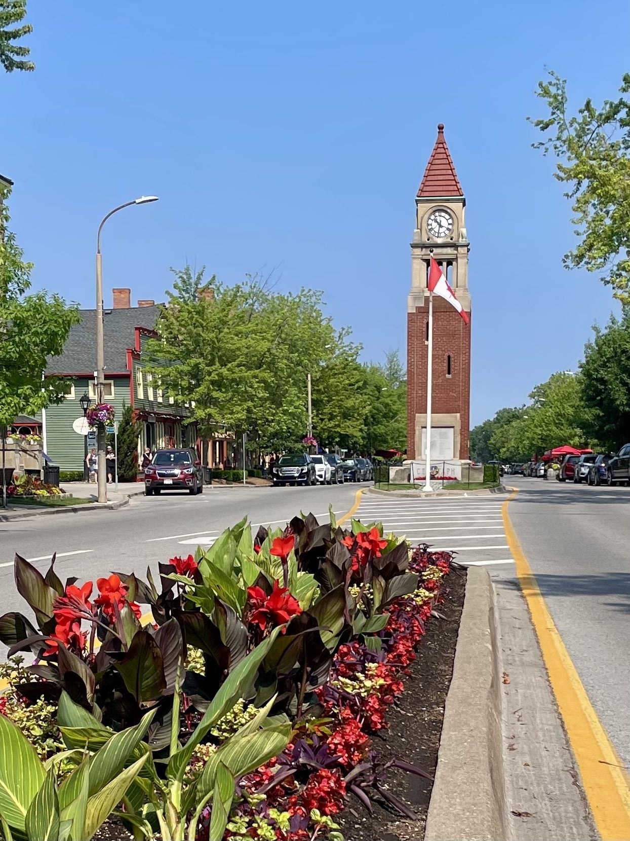
Niagara-on-the-Lake Tour
https://hikes.brucetrail.org/event/niagara-on-the-lake-tour-30/Sorry, the registration cut-off time for this hike has been reached.Not a member? Click here to join today!Hosting Club: Niagara
Category: Urban
Location (Google Maps): Park on King St near Centre St at the entrance to Veteran’s Memorial Park, Niagara-on-the-LakeHike Leader(s): Margaret Northfield Click here to contact Hike Leader(s)
Pace: Medium 3- 4 km/hr
Terrain: Easy: mostly flat, good footing
Distance: 6-7kmDescription
Each Friday we will explore some history of Niagara-on-the-Lake while getting a moderate paced walk. Discover where the Niagara River meets Lake Ontario. Experience the Heritage District, woods and the Niagara Parkway.
Some weeks may be totally on sidewalks and roads while others may include a mix of trail and paved pathways.
Great way to build up endurance for longer more strenuous hikes.
Plan to stay for conversation and a coffee at Sweets & Swirls, Community Centre, Niagara Stone Rd., NOTL
Brisk Fridays - Silent Valley and Bognor Marsh
https://hikes.brucetrail.org/event/brisk-fridays-silent-valley-and-bognor-marsh/Sorry, the registration cut-off time for this hike has been reached.Not a member? Click here to join today!Hosting Club: Sydenham
Category: General Hike
Location (Google Maps): Click the Google Maps link to take you there. Meet and park at the dead end of 2nd Conc S from Grey Rd 18 in the former Sydenham Township. In the Bruce Trail Reference, Edition 31, meet at the trailhead of the Silent Valley Side Trail that leads to km 34.5 on Map 30Hike Leader(s): Stewart Brown Click here to contact Hike Leader(s)
Pace: Brisk: 4 to 5 km/h
Terrain: Moderate: Some hills and/or poor footing, Strenuous: Hilly with steep climbs and some poor footing.
Distance: 15 kmDescription
Brisk Fridays hikes are, um, brisk-paced, fun and energetic. We do take time to stop and appreciate points of interest. A varied, strenuous, brisk hike alongside boulders, escarpment vistas, forests and marshland. We will hike all the side trails and main trails of both Silent Valley Nature Reserve and the Bognor Marsh management Area and traverse the main trail in both directions between the two natural areas ending back at parking.Niagara E2E #5: Welland Canal to Queenston Heights
https://hikes.brucetrail.org/event/niagara-e2e-5-welland-canal-to-queenston-heights/Sorry, the registration cut-off time for this hike has been reached.Not a member? Click here to join today!Hike open to BTC Members only.
Hosting Club: Dufferin Hi-Land
Category: General Hike
Location (Google Maps): Off road parking on the north side of Glendale Avenue, 50 metres east of the Welland Canal. See Google Map links for GPS.Hike Leader(s): Stuart Law Click here to contact Hike Leader(s)
Pace: Medium
Terrain: Slippery and Steep Sections, Moderate
Distance: 18.5 kmsDescription
Join us on this shuttle hike in a series of Friday hikes across the beautiful Niagara Section. Mud, rocks and slippery slopes guaranteed. Please bring a garbage bag and an extra pair of footwear for the drive back. Boots mandatory. Hiking poles recommended. Please wear a hat, long sleeves and long pants and bring a head net for the bugs (just in case), 2.5L of water, a snack, a lunch, bug spray and sunscreen.
Caledon North
https://hikes.brucetrail.org/event/caledon-north-4/Sorry, the registration cut-off time for this hike has been reached.Not a member? Click here to join today!Hosting Club: Iroquoia
Category: General Hike
Location (Google Maps): Meet in the parking lot at the Mono Centre Park at 9:15 amHike Leader(s): Karen Bergmann Click here to contact Hike Leader(s)
Pace: Medium – 3 to 4 km/hr
Terrain: Moderate – Some hills and/or some poor footing
Distance: 8 kmsDescription
Meeting at 9:15 am in the parking lot of Mono Centre Community Centre, we will hike the main trail and around the Turnbull, Springwater, Whitetail Refuge and Third Outlier Side Trails and back along the main trail into Mono Cliffs to the Laidlaw Side Trail to the cars. Bring sufficient water, a snack as needed, and bug spray/bug net.
Pretty River Valley Forest Bathing Hike
https://hikes.brucetrail.org/event/37475/Sorry, the registration cut-off time for this hike has been reached.Not a member? Click here to join today!Hosting Club: Blue Mountains
Category: Organized Hike
Location (Google Maps): Tim Horton’s, First Street, CollingwoodHike Leader(s): Annette Sandberg, Peter Schiller Click here to contact Hike Leader(s)
Pace: Leisurely – 3 km/hr. or less
Terrain: Easy – Mostly flat and usually good footing
Distance: 3kmDescription
Have you heard of Forest Bathing or Forest Therapy? Are you interested in a forest experience that may bring memories of childhood wonder and freedom? Perhaps then a slow, gentle time in nature for your wellbeing is what your heart is longing for. Join Peter Schiller – certified Forest Therapy Guide – from “Follow the Forest” www.followtheforest.ca, in an approximately two-and-a-half-hour guided experience that will offer you forest bathing, forest therapy, and teachings of presence where you’ll be invited to be still within your own consciousness and focus on your senses. This will not be a destination hike where we cover a certain amount of distance. Nor will it be an interpretive or exercise event. Rather, it will be a slow meander where you’ll be invited to breathe, to simply be, and focus on and be immersed in, all that is around you. Join us. The forest awaits. We willl meet at Tim Horton’s, First Street, Collingwood and carpool to snowmobilers parking lot in the Pretty River Valley. You can also go straight to the parking lot. 549949 Pretty River Road, NottawaBronte Creek East
https://hikes.brucetrail.org/event/bronte-creek-east/Sorry, the registration cut-off time for this hike has been reached.Not a member? Click here to join today!Hosting Club: Iroquoia
Category: General Hike
Location (Google Maps): Children’s Playground, 2524 Valley Ridge Dr, OakvilleHike Leader(s): Anne Armstrong Click here to contact Hike Leader(s)
Pace: Leisurely – 3km/hr or less
Terrain: Easy – Mostly flat and usually good footing
Distance: Approx. 8-9 km.Description
This hike takes us into the north end of Bronte Creek Provincial Park and along the banks of Bronte Creek. We will use urban trails to get to the fields at the northern end of the park and then hike to the Creek’s banks. Meet in Elephant Park playground at 9:45 for a 10:00 am. start. Bring water, a snack, insect repellent and sunscreen. I suggest long pants as we will be moving through some grassy areas. I will send out a message the day before with me contact information in the event you need to cancel the night before or the morning of the hike. - 27June 27, 2026
School Bus Trip: Hike in Pretty River, Swim in Thornbury
https://hikes.brucetrail.org/event/school-bus-trip-hike-in-pretty-river-swim-in-thornbury/Sorry, the registration cut-off time for this hike has been reached.Not a member? Click here to join today!Trip Information
Departure Time: 08:00
Return to City Time: 19:30
Departure Point: York Mills Bus PickupOptional Items
Pick up at HWY 400 & Major Mac ($0.01)Hosting Club: Toronto
Category: Bus Hike
Location (Google Maps): Pretty River Valley Provincial ParkHike Leader(s): Martina Furrer, Celia Ho, Leila Damband, and Leonora Rochwerger Click here to contact Hike Leader(s)
Pace: Moderate (3-4 km/hr)
Terrain: Hilly, Level 2 (Intermediate – some hills and uneven surfaces, rocks and roots underfoot)
Distance (km): Fast (16 to 18 km), moderate (13 km)Description
Join us for a fun and challenging hike through Nottawasaga Lookout Provincial Nature Reserve and Pretty River Valley Provincial Park. Our efforts will be rewarded with great views and hopefully the forest floor will be dotted with wildflowers. From Osler Bluff and the Petun Side Trail we should have amazing views of Georgian Bay. Afterwards cool off with a swim, an ice cream, or a cold beer in Little River Beach Park in downtown Thornbury.We will split into two groups. The moderate group will do about 13 km at a pace of approximately 3 km/hr. The fast group will hike 16 to 18 km at a 4 km/hr pace (including on hills).
Pack lunch, water (about 2 litres), sun -, rain -, and bug protection, and your swimming gear.
Departure 1: 10 York Mills Rd at 8 AM.
Departure 2: HWY 400 and Major Mac Park and Ride at 8:20 AM
We hope to be back in the city around 7:30 PM.
Six Pack Of Blue – Hike 2 of 6
https://hikes.brucetrail.org/event/six-pack-of-blue-hike-2-of-6/Sorry, the registration cut-off time for this hike has been reached.Not a member? Click here to join today!Hosting Club: Blue Mountains
Category: End-to-End
Location (Google Maps): Large parking lot behind Tim Hortons First Street CollingwoodHike Leader(s): Claire Pearson Click here to contact Hike Leader(s)
Pace: Medium – 3 to 4 km/hr
Terrain: Moderate – Some hills and/or some poor footing
Distance: 7.7kmDescription
Please join us for the Six Pack Of Blue! This is an End-to-End of the Blue Mountains section of the Bruce Trail completed in 6 hikes – see below for dates. You can do as many of the six hikes as you wish. Hike distances in this six-hike series range from 7.7 km to 14.6 km.
This is Hike #2. The route is from 9/10 Sideroad Nottawasaga to the Nottawasaga Bluffs Parking Lot, covering approximately 7.7 km. The pace will be 3–4 km/hour, and all hikers must be able to maintain this speed. The terrain is hilly with uneven, rocky footing. Sturdy hiking footwear is required, and hiking poles are recommended. Please bring water and a snack. Due to limited parking at trailheads, this hike will involve a car shuttle. All hikers are expected to carpool and share the associated costs. Arrive at the meeting location by 8:15 a.m. The car shuttle will depart promptly at 8:30 a.m. Further details will be provided to registered hikers a few days before the hike.
Please refer to each individual hike date as outlined below for specific details of that hike. Register for each hike you plan to attend.
The hikes are on the following dates:
20 June 2026
27 June 2026
12 Sept 2026
19 Sept 2026
26 Sept 2026
17 Oct 2026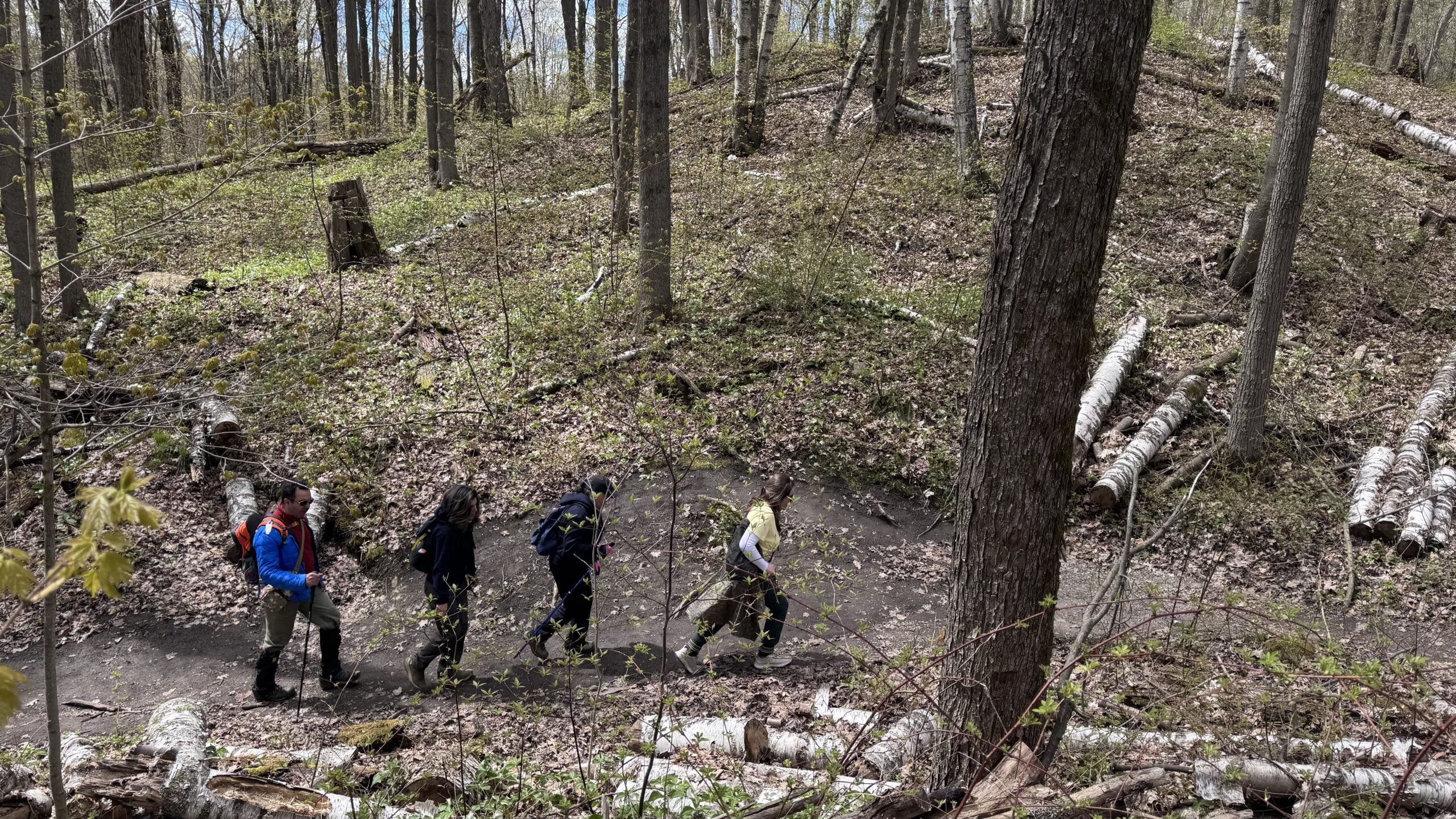
Car Hike: Hockley Crest, Airport Rd to Hockley Rd
https://hikes.brucetrail.org/event/car-hike-hockley-crest-airport-rd-to-hockley-rd-3/Sorry, the registration cut-off time for this hike has been reached.Not a member? Click here to join today!Hosting Club: Toronto, Caledon Hills
Category: Car Hike
Location (Google Maps):Meet at the Bruce Trail Parking Lot on Mono 5 Sideroad on the north side of the 5th Sideroad.
Hike Leader(s): Amir Alemohammad Click here to contact Hike Leader(s)
Pace: Moderate (3-4 km/hr)
Terrain: Flat, Hilly, Level 2 (Intermediate – some hills and uneven surfaces, rocks and roots underfoot), Variable
Distance (km): 12-14 kmDescription
Join us for a out and back hike in Hockley Crest. The route explores a diverse landscape of dense sugar maple and beech hardwood forests, open grassy meadows, active pine plantations, and steep ravines. We will explore the main and side trails of the Bruce Trail. Bring at least two liters of water and your favorite snacks. Boots mandatory, poles recommended. Be prepared for the ticks and bugs. This is a joint hike with the ORTA.Car Hike: Oak Ridges Corridor
https://hikes.brucetrail.org/event/car-hike-oak-ridges-corridor/Sorry, the registration cut-off time for this hike has been reached.Not a member? Click here to join today!Hosting Club: Toronto
Category: Car Hike
Location (Google Maps): Oak Ridges Corridor, Bethesda Trail Head Parking Lot, Bethesda Side Road, Richmond Hill, OntarioHike Leader(s): MOHAMMAD AGHAMIRI Click here to contact Hike Leader(s)
Pace: Moderate (3-4 km/hr)
Terrain: Hilly, Level 2 (Intermediate – some hills and uneven surfaces, rocks and roots underfoot)
Distance (km): 14-15 kmDescription
Join us to explore the trails of York Regional Forest and the Oak Ridges Corridor at Jefferson Forest and Bond lake,From parking lot we hike thought Jefferson forest and continue to Bond Lake and have snack beside the lake and return to parking around 1:pm
Please bring lots of water and snacks ,hiking poles are recommended,it is Mosquto and Tick season ,be prepared .
phone number for the day of hike 289 588 6482
Sydenham Graham Hill Road to Bluewater Park
https://hikes.brucetrail.org/event/sydenham-graham-hill-road-to-bluewater-park/Sorry, the registration cut-off time for this hike has been reached.Not a member? Click here to join today!Hosting Club: Caledon Hills
Category: End-to-End
Location (Google Maps): Meet at Bluewater Park, 502 George St., Wiarton, ON. We will shuttle to Graham’s Hill Rd 44.764911, -80.944925 and hike back.Hike Leader(s): Dan Patterson Click here to contact Hike Leader(s)
Pace: Medium – 3 to 4 km/hour
Terrain: Strenuous – hilly with steep climbs and some poor footing
Distance: 22.2 kmDescription
Experience Skinner’s Bluff, Big Bay and the walk to Bluewater Park on gorgeous Colpoy’s Bay. From our meeting point we will shuttle to Graham’s Hill Road and enjoy one of the most spectacular hikes on the Bruce! Bring sufficient water, lunch, snacks, bug repellent. Hiking poles may be helpful. Note: this section includes Colpoy’s Range Road which is often very wet. I will be wearing high rise boots.Seven Rivers Hike Badge Series - Hike 5
https://hikes.brucetrail.org/event/seven-rivers-hike-badge-series-hike-5/Sorry, the registration cut-off time for this hike has been reached.Not a member? Click here to join today!Hosting Club: Dufferin Hi-Land
Category: General Hike
Location (Google Maps): Boyne River Dufferin Hi Land Section Map 20
Parking: lot and Roadside parking at km 18.7 (Map Edition 31) the south end of Centre Road from Sideroad 5, north of Primrose.Hike Leader(s): Tristan Goguen and Pat Foley Click here to contact Hike Leader(s)
Pace: Medium
Terrain: Moderate
Distance: 10.41 KmDescription
Today we will hike from the Centre Rd Parking area on the main trail to the Mulmur Lookout . We will take a short break here to admire the valley then return on the main trail to 1st Line where we will pick up the Boyne Valley Side Trail southbound on 1st Line. The side trail eventually heads into the woods and back to the main trail . From this junction we will hike north bound on the main trail with an opportunity to cross the Boyne River before climbing out of the valley. We will take a break at the top of Murphy’s Pinnacle to enjoy lunch and the view before heading back to the parking area.Please be prepared for the weather, we will hike rain or shine. Ensure you have enough water,lunch and snacks, sunscreen and bug repellent. Hats and sunglasses are recommended as are poles and sturdy shoes.
For those wishing to earn their 7 Rivers Badge – complete all 7 hikes-, badges will be available on the last day from the hike leaders at a cost of $10 for members and $15 for non members.
Anyone completing make-up hikes may log their hikes and apply directly to the Dufferin Highlands BT Club for the badge.

10:00 Vineland Estates Winery Hike and Wine Tasting Experience
https://hikes.brucetrail.org/event/1000-vineland-estates-winery-hike-and-wine-tasting-experience-3/Sorry, the registration cut-off time for this hike has been reached.Not a member? Click here to join today!Hike open to BTC Members only.
Hosting Club: Niagara
Category: In and Out
Location (Google Maps): Park at Vineland Estates Winery 3620 Moyer Road, VinelandHike Leader(s): Sam Rutherford Click here to contact Hike Leader(s)
Pace: Medium 3- 4 km/hr
Terrain: Moderate: some hills and some poor footing
Distance: 6kDescription
We will hike on the main trail from Vineland Estates Winery towards Cave Springs Conservation Area and return back to Vineland Estates Winery by 11:30. Upon return we will enjoy a private structured wine tasting led by one of the knowledgeable and friendly winery staff from 11:30 to 12:15 pm. The cost for the tasting experience is $20.00 per person (tax and tip included). Please bring your $20.00 with you as I will collect it prior to the tasting to simplify the payment to Vineland Estates Winery. Thank you.
Hike with kids Hilton Falls Conservation Halton
https://hikes.brucetrail.org/event/hilton-falls-conservation-halton-2/Sorry, the registration cut-off time for this hike has been reached.Not a member? Click here to join today!Hosting Club: Iroquoia
Category: Junior Hiker
Location (Google Maps): Meet at Hilton Falls Conservation Park Main Parking lot.Hike Leader(s): IgorT Click here to contact Hike Leader(s)
Pace: Leisurely – 3km/hr or less
Terrain: Easy – Mostly flat and usually good footing
Distance: 3kmDescription
Join me to hike with kids at Hilton Falls.We going to hike from parking lot to the falls and back, about 3km total. (Strollers are drivable there)
At the falls we going to make a fire, please bring hot dogs, marshmallows etc. for kids and adults to enjoy.
Park entrance fee 10.50 plus tax per car, reservation required. https://www.conservationhalton.ca/parks/hilton-falls/
“Preserving a ribbon of wilderness, for everyone, forever”
Waterfront Trail 2/11 - Mississauga WF Trail
https://hikes.brucetrail.org/event/waterfront-trail-2-11-mississauga-wf-trail/Sorry, the registration cut-off time for this hike has been reached.Not a member? Click here to join today!Hosting Club: Toronto
Category: Urban Walk
Location (Google Maps):Mississauga Waterfront Trail
Hike Leader(s): Brian Rideout Click here to contact Hike Leader(s)
Pace: Moderate (3-4 km/hr)
Terrain: Flat
Distance (km): 8.9 kmDescription
Please join me at Union Station under the clock inside the Great Hall no later than 9:00 am. We will take the Lakeshore West train departing 9:14 am, arriving 9:42 am (subject to GO Transit schedule changes). If you want to meet us in Port Credit, please be there by 9:42 am. We start hiking no later than 10:00 am. Consider purchasing the $10 day pass for the GO train for use with your smart phone. Some of you may find the regular senior rate is cheaper. Purchase your ticket / pass in advance.We will hike from Port Credit to Long Branch along the shoreline. The estimated distance is 8.9 km. Here is an online map of our route – Port Credit to Long Branch https://onthegomap.com/s/8dml9cim
Bring a snack, at least 2 liters of water, sun screen and bug spray.
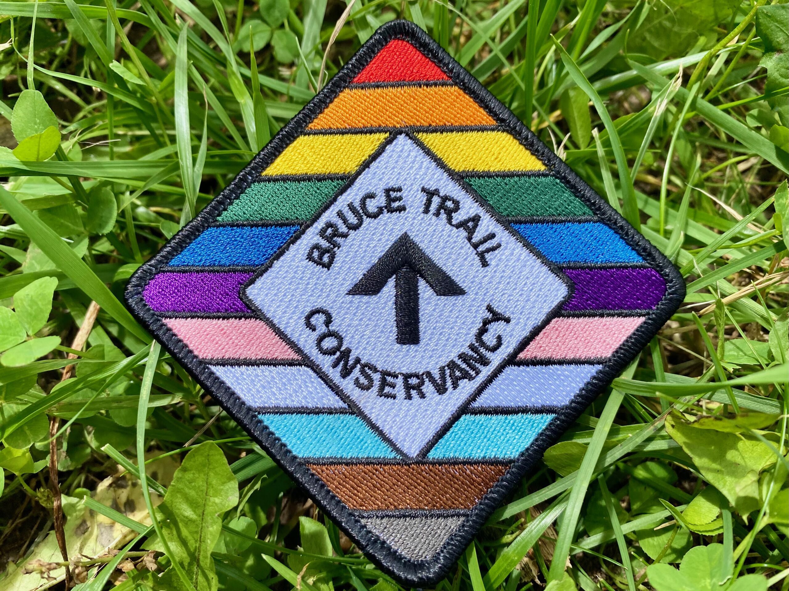
Celebrate Pride Together in Nature
https://hikes.brucetrail.org/event/celebrate-pride-together-in-nature/Sorry, the registration cut-off time for this hike has been reached.Not a member? Click here to join today!Hosting Club: Caledon Hills
Category: Nature Walks
Location (Google Maps): Bruce Trail parking Lot at Riverside Woods, 713377 1st Line EHS, Mono.
Driving directions:
From Hwy # 10 north of Orangeville, turn east on to Hockley Rd. Drive for 1.1 km. Continue straight onto Side Road 5 for 1.6 km. Turn left onto 1st Line EHS for 900 meters. Continue straight into the parking lot.***DO NOT TAKE 1ST LINE EHS SOUTH FROM HOCKLEY ROAD. It is not maintained. Google maps may suggest this impassable route
Hike Leader(s): Doris Harper Click here to contact Hike Leader(s)
Pace: Leisurely – 3 km/hour or less
Terrain: Moderate – some hills and/or some poor footing
Distance: 5 kmDescription
Celebrate Pride Together in Nature.This community hike will be a leisurely 5 km loop on a well maintained forested trail. Wear comfortable, sturdy shoes. bring sunscreen, bug spray, a picnic lunch and a beverage. Additional light refreshments will also be served.
Everyone will receive a Bruce Trail Conservancy Pride Badge.
This hiking event is a 2SLBGTQIA+ safe space. The CHBTC is committed to providing an inclusive and welcoming environment.
Everyone is invited to join.