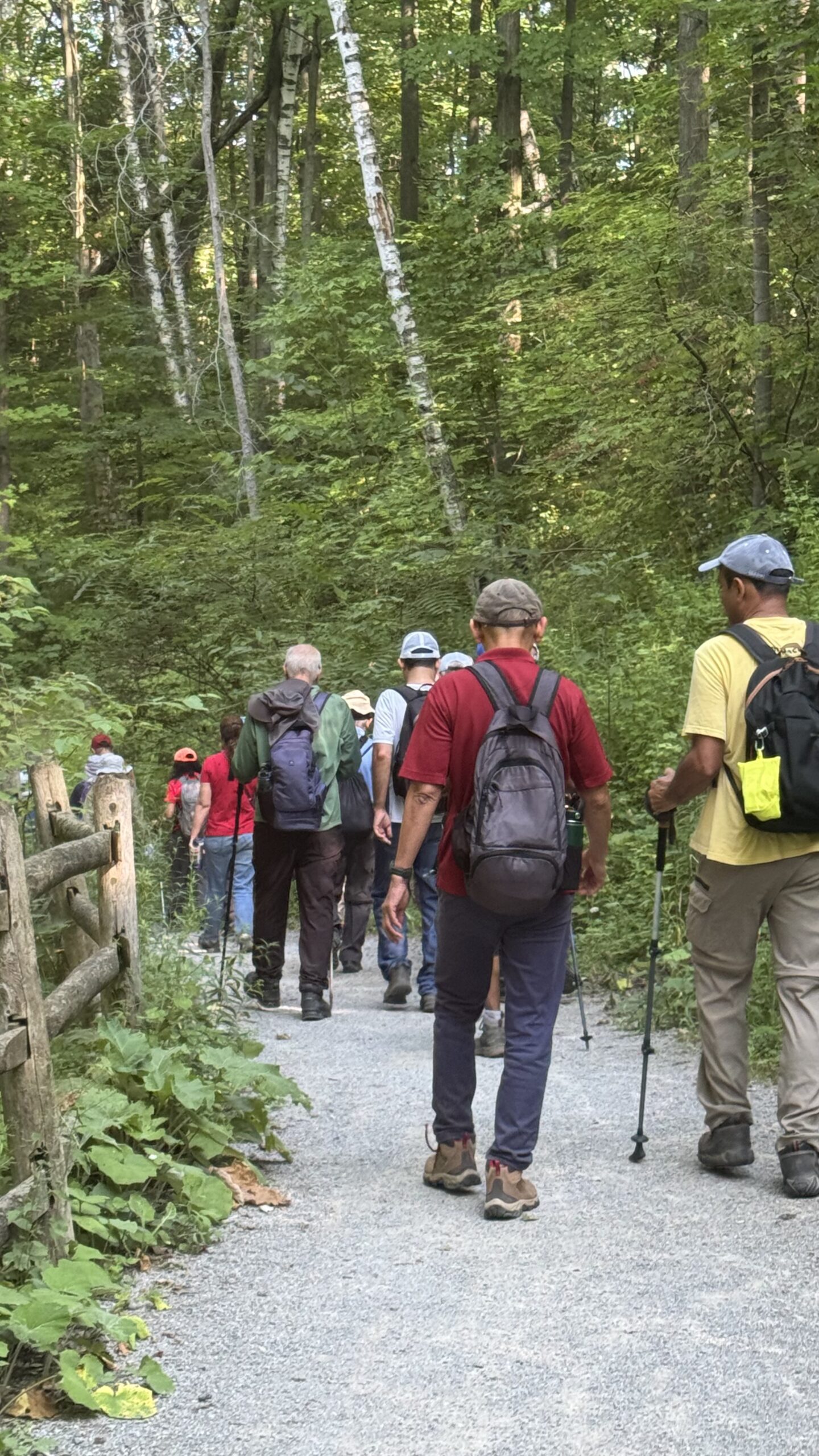
Hike Schedule
Join us for a hike! Registration required:
All hikes available to BTC members. Some hikes are open to non-members.
TIP: The calendar view displays up to 7 hikes on a day, but often there are more. Click “More events” to see them all.
Categories
- 24August 24, 2025
Car Hike: Exploring Uxbridge Trails (Wilder Forest, Walker Woods, and Glen Major Forest)
https://hikes.brucetrail.org/event/car-hike-exploring-uxbridge-trails-wilder-forest-walker-woods-and-glen-major-forest-16/Sorry, the registration cut-off time for this hike has been reached.Not a member? Click here to join today!Hosting Club: Toronto
Category: Car Hike
Location (Google Maps):2499 Brock Rd, Uxbridge, ON L9P 1R4. We will meet at the East Duffins Headwaters parking lot at the WILDER FOREST trail head. As soon as you got off the Brock Road, passing the horse back riding facility, there is a free designated parking lot 70 meters down the lane to your right. It includes a sign board for East Duffins Headwaters with a map of the trails. Please do not park on the lane or in the horse back riding property.
Hike Leader(s): Amir Alemohammad Click here to contact Hike Leader(s)
Pace: Moderate (3-4 km/hr)
Terrain: Flat, Hilly, Level 2 (Intermediate – some hills and uneven surfaces, rocks and roots underfoot), Variable
Distance: Approx.15-16 KmDescription
Join us for a delightful hike in Uxbridge, as we explore Wilder Forest, Walker Woods, and Glen Major Forest on a scenic loop starting from Brock Road. We’ll pass Concession Road 6, heading west and back, while also venturing onto several side trails for even more stunning views.What to Expect:
•Beautiful scenic views and lookouts facing south
•A mix of hilly and flat terrain
•Frequent 2-minute breaks for hydration and photos, with a 10-20 minute lunch/snack stop
•Stay on designated trails at all time
What to Bring and Wear:
•Hiking Boots and poles (recommended) and be prepared for the bugs
•At least 2 liters of water
•Your favorite snacks and lunch (pack your own refreshments for an outdoor meal)
•Dress according to variable weather conditions!
Important Details:
•Stay on the designated trails
•Be prepared for the elements and enjoy the adventure!
Looking forward to seeing you on the trail!
Don’t forget your camera and a smile as we explore the beauty of the Uxbridge trails!
This is a joint hike with the Oak Ridges Trail Association (ORTA).
GO Train Hike:: Unionville - Markham, Rouge River Trail
https://hikes.brucetrail.org/event/go-train-hike-unionville-markham-rouge-river-trail/Sorry, the registration cut-off time for this hike has been reached.Not a member? Click here to join today!Hosting Club: Toronto
Category: GO Train Hike
Location (Google Maps):Markham Pan Am Centre, Kennedy Rd & YMCA Blvd. Meet inside main lobby by the coffee shop for 10:00 departure after those who travelled by GO Transit arrive.
Hike Leader(s): Tom Swales, David Royle Click here to contact Hike Leader(s)
Pace: Moderate (3-4 km/hr)
Terrain: Flat, Level 2 (Intermediate – some hills and uneven surfaces, rocks and roots underfoot)
Distance: 13 kmDescription
The villages of Unionville & Markham are connected by the Rouge Valley Trail System following the Rouge River and running behind the historic buildings on Main Street Unionville, by Walden Pond in Austin Drive Park, through Milne Dam Conservation Area, and ending with a 143 metre long suspension bridge over the dam. We will walk into the village of Markham and finish with a short boardwalk trail through Tannery Pond which is close to the Markham GO Station. We begin the hike at Unionville GO Station hiking north to the historic Main Street and picking up the Rouge Valley Trail at Carlton Road. Return to Toronto or the starting point by GO Train or York Region Transit bus. Optional stop at the Rouge River Craft Brewery after the hike.Terrain is easy, mostly paved path/boardwalk with some dirt trails.
On The Go Maps Link:
https://onthegomap.com/s/g5rhpj1s
Those wishing to arrive by GO Train may choose to meet us in the Great Hall of Union Station by the information desk (with the clock over it) to depart from the meeting point at 8:45 AM to take the Stouffville Line train departing at 9:00 AM
If traveling from the north end of Toronto by public transit contact hike leader for directions from Finch Subway Station.
Bring lunch, water, snacks, hat.
- 25August 25, 2025
8:30 am Hydro Hill Training
https://hikes.brucetrail.org/event/830-am-hydro-hill-training-6/Sorry, the registration cut-off time for this hike has been reached.Not a member? Click here to join today!Hosting Club: Niagara
Category: In and Out
Location (Google Maps):Lockhart Drive, St Catharines, by the large yellow swing gate.
Hike Leader(s): Suzanne Gourluck Click here to contact Hike Leader(s)
Pace: Brisk
Terrain: Strenuous
Distance: 6 kmsDescription
This challenging “hike” is intended for those wishing to train for future challenging hikes. Choose your own pace to go up and down the moderately steep hill over 60 minutes. The terrain is a hard packed gravel surface. Feel free to bring light weights to increase the intensity of your training. Bring water, hiking poles, snack and dress for the weather.Car Hike: Dufferin E2E 1/4
https://hikes.brucetrail.org/event/car-hike-dufferin-e2e-1-4/Sorry, the registration cut-off time for this hike has been reached.Not a member? Click here to join today!Hike open to BTC Members only.
Hosting Club: Toronto
Category: Car Hike
Location (Google Maps): Km 0.0 Mono Centre. Coordinates N 44.026195,W 80.071516 map 19Hike Leader(s): Smadar Junkin Click here to contact Hike Leader(s)
Pace: Brisk (4-5 km/hr)
Terrain: Challenging, Variable
Distance: 14.1 kmDescription
First hike of 4 to complete the Dufferin section. We will shuttle to km 14.1 and hike back. Hikers are expected to in the parking area and ready to shuttle by 8:15. Everyone needs to take part in the car shuttle. Bring 2 litres of water, snacks and lunch, bug repellent , sun screen. Hiking boots. - 26August 26, 2025
8:00 Long Hike Wiley Road Short Hills
https://hikes.brucetrail.org/event/800-long-hike-wiley-road-short-hills-10/Sorry, the registration cut-off time for this hike has been reached.Not a member? Click here to join today!Hosting Club: Niagara
Location (Google Maps):
Short Hills Wiley Road Entrance
Pace: Medium
Terrain: Moderate
: 10kmDescription
Explore Short Hills and the majestic side trails of Scarlett Tanager, Hemlock. Swayze Falls and Terrace. Register for each hikeBring Poles, Sun Screen Bug Spray, snack, and dress for the weather
Car Hike: Dufferin E2E 2/4
https://hikes.brucetrail.org/event/car-hike-dufferin-e2e-2-4/Sorry, the registration cut-off time for this hike has been reached.Not a member? Click here to join today!Hike open to BTC Members only.
Hosting Club: Toronto
Category: Car Hike
Location (Google Maps): Km 28.3, 1st Line E coordinates N 44.148246,W 80.118529 map 20Hike Leader(s): Smadar Junkin Click here to contact Hike Leader(s)
Pace: Brisk (4-5 km/hr)
Terrain: Challenging, Hilly
Distance: 14.2 km.Description
Second hike of the series to complete the Dufferin section. Please be in the parking area at 8;15 and be ready to shuttle by 8:30. Bring 2 litres of water, food, bug repellent, sun screen. Hiking boots. We will shuttle to km 14.1 and walk back. Everyone is expected to participate in the car shuttle during the 4 days hike.Urban Walk: Valley View Park Thornhill
https://hikes.brucetrail.org/event/urban-walk-valley-view-park-thornhill-96/Sorry, the registration cut-off time for this hike has been reached.Not a member? Click here to join today!Hosting Club: Toronto
Location (Google Maps): Parking lot is off Sycamore Drive East of Bayview , across Starbucks plaza
Bus 91 from Finch east station stops at Sycamore station.Hike Leader(s): Mohammad Aghamiri Click here to contact Hike Leader(s)
Pace: Moderate (3-4 km/hr)
Terrain: Hilly, Level 2 (Intermediate – some hills and uneven surfaces, rocks and roots underfoot), Variable
Distance: 6-7 kmDescription
We will explore Valleyview and Maple View parks, and walk along German Mill Creak, in return we stop in Huntington park and have snack under beautiful shed ,Even it is considered Urban walk, it is urban hike as we have some up and down hills and tree roots, please bring your hiking poles, water and snacks,
phone number for the day of hike 289 588 6482
9:15 Short Hike - Short Hills Park, Pelham Rd
https://hikes.brucetrail.org/event/915-short-hike-short-hills-park-pelham-rd-26/Sorry, the registration cut-off time for this hike has been reached.Not a member? Click here to join today!Hosting Club: Niagara
Category: Hike
Location (Google Maps): Pelham Rd entrance, Short Hills Provincial ParkHike Leader(s): Debbie Demizio Click here to contact Hike Leader(s)
Pace: Medium
Terrain: Moderate
Distance: ~ 6kmsDescription
Hike the main and side trails in Short Hills Provincial Park. Bring hiking boots, water, sunscreen, and bug spray.
Grindstone Creek (Waterdown) to Hopkins Corners (E2E)
https://hikes.brucetrail.org/event/grindstone-creek-waterdown-to-hopkins-corners-e2e/Sorry, the registration cut-off time for this hike has been reached.Not a member? Click here to join today!Hosting Club: Iroquoia
Category: General Hike
Location (Google Maps): Meet at 9:15 am in the parking lot at Hopkins Corners on York Rd.Hike Leader(s): Karen Bergmann Click here to contact Hike Leader(s)
Pace: Medium – 3 to 4 km/hr
Terrain: Moderate – Some hills and/or some poor footing
Distance: 10 kmsDescription
Meet at 9:15 am in the Borer’s Falls dog park parking lot on York Rd. We will carpool to Waterdown (Great Falls) and hike back along the main trail and then the Ray Lowes Side Trail back to the cars. Bring bug spray/bug net and plenty of water. There are some hills and technical (rocky) parts to this hike. Bring a snack as needed.Black Bank - Dufferin
https://hikes.brucetrail.org/event/black-bank-dufferin/Sorry, the registration cut-off time for this hike has been reached.Not a member? Click here to join today!Hosting Club: Caledon Hills
Category: Tuesday Hikers
Location (Google Maps): Meet at the corner of Prince of Wales Rd. and 20 Sideroad. Map 21, km 40.7. Possible to come from the south on Prince of Wales Rd. but I suggest a simpler route is — drive north on Hwy 10. At Primrose turn left and then after 4 km (before entering Shelburne) turn right on Hwy 124. Follow 124 north for 15 km then turn right on Road 21 toward Honeywood. Pass through Honeywood and then turn right on Prince of Wales Rd. Follow 3 km to roadside parking at 20 Sideroad. GPS coordinates are of course part of the hike description if you like to do things that way. Some directions might refer to the county of “Mulmur” instead of “Honeywood”.Hike Leader(s): Peter Leeney Click here to contact Hike Leader(s)
Pace: Medium – 3 to 4 km/hour
Terrain: Moderate – some hills and/or some poor footing
Distance: 12 kmDescription
This is car shuttle hike. From our meeting place at km 40.7, map 21 we will do a shuttle north to the parking lot at 30 Sideroad and 1st Line EHS. Note 10 am start time. - 27August 27, 2025
Car Hike: Dufferin E2E 3/4
https://hikes.brucetrail.org/event/car-hike-dufferin-e2e-3-4/Sorry, the registration cut-off time for this hike has been reached.Not a member? Click here to join today!Hike open to BTC Members only.
Hosting Club: Toronto
Category: Car Hike
Location (Google Maps): Km 28.3 1st Line E coordinates N 44.148246,W 80.118529 map 20Hike Leader(s): Smadar Junkin Click here to contact Hike Leader(s)
Pace: Brisk (4-5 km/hr)
Terrain: Challenging, Variable
Distance: 12.4 kmDescription
3ed hike towards the completion of the Dufferin E2E. Hikers are expected to arrive 15 minutes early and be ready to shuttle. We will shuttle to km 40.7 and hike back. Bring food, 2 litres of water, bug repellent, sun screen. Hiking boots. Everyone is expected to participate in the car shuttle during the 4 days hike.
Oakridges Morraine 15 Side Trails - Badge Hike
https://hikes.brucetrail.org/event/oakridges-morraine-15-side-trails/Sorry, the registration cut-off time for this hike has been reached.Not a member? Click here to join today!This is a Multi-Day Hike
You are signing up for the following dates and times:
2025-08-27 at 09:00
2025-08-28 atHosting Club: Iroquoia
Category: Special Event
Location (Google Maps): Aug 27 Meet 1867 Concession Rd 2 https://maps.app.goo.gl/CoNAvYYfEuz1FPCv7 Shuttle to Concession Rd 7 – https://maps.app.goo.gl/tbEChdaxnjkdwzc68
Aug 28 Meet York Regional Forest 16389 ON-48, Whitchurch-Stouffville, ON L4A 3J6 Shuttle to 14989 Warden Ave., Whitchurch-Stouffville, ON L4A 2P9Hike Leader(s): Ruth Moffatt Click here to contact Hike Leader(s)
Pace: Brisk – 4 to 5 km/hr, Medium – 3 to 4 km/hr
Terrain: Dependent on Conditions, Moderate – Some hills and/or some poor footing
Distance: Day 1 – Approx 22km Day 2 – Approx 17kmDescription
Occasionally hikes are offered by the Iroquoia Bruce Trail Club to engage members and non-members who live in other parts of the province. This is one such 2- day hike.This two day hike is perfect for people who live near the Township of Uxbridge, Whitchurch- Stouville.
It is a group hike with a car shuttle. Please be prepared to participate in the shuttle by ensuring you have 4 available seatbelts, including the driver’s. Please bring enough food and water for a full day hike hike, including lunch as well as bug spray, sunscreen, first aid and appropriate clothing for possible wet weather. Depending on the terrain, we will hike at a fairly steady, quick pace. Please ensure you are physically able for the distance and the pace before signing up for this hike. There are no dropouts – if you cannot complete the hike, you will be responsible for your own way back and expense to your car.
There is a badge available. $5 – TBA
If you cannot make it, please remove yourself from registration by following these steps:To cancel your registration, here is a step by step:
– Sign into your account on the BTC website
– Click on My Hikes under your account
– This will take you to a list of hikes you have registered for
– Scroll down to the appropriate hike and cursor over to the far right hand column under the Action column.
– Click Cancel under the hike you wish to cancelWEDNESDAY WALKERS - Hogg's Falls Bridges and Walkways
https://hikes.brucetrail.org/event/wednesday-walkers-hoggs-falls-bridges-and-walkways-3/Sorry, the registration cut-off time for this hike has been reached.Not a member? Click here to join today!Hosting Club: Beaver Valley
Location (Google Maps): Meet in the parking lot of Hogg’s Falls, km 65.1, Map 26, Edition 31
Hike Leader(s): Margaret Yaraskavitch Click here to contact the hike leader.
Pace: Medium
Terrain: Moderate, Some rocky footing, Some steep sections
Length of Hike: 5 kmsDescription
Our hike takes us along a route that showcases much of the new(ish) construction that has recently been completed in the Hogg’s Falls area. Multiple bridges across the Boyne River allow for hiking loops. We will walk southward from the parking lot along the Main Trail and then we will cross the Boyne River. The Trail rises well above the Boyne River meaning there’s some steep inclines. Another bridge is crossed to return to the other side of the Boyne and then we include a loop into uplands. A visit to see the Falls is a special view.Jones Falls Loop followed by Pot Luck Lunch
https://hikes.brucetrail.org/event/jones-falls-loop-followed-by-pot-luck-lunch-3/Sorry, the registration cut-off time for this hike has been reached.Not a member? Click here to join today!Hosting Club: Sydenham
Category: Hike & Potluck
Location (Google Maps):Memorial Forest. At the end of Young’s Drive
Hike Leader(s): Sheri Hatcher Click here to contact Hike Leader(s)
Pace: Medium: 3 to 4 km/h
Terrain: Moderate: Some hills and/or poor footing
Distance: Approximately 6 kmDescription
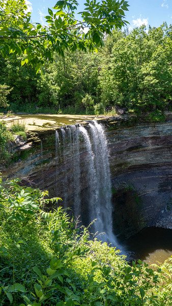
We will begin on the Memorial Forest Side Trail field and hike along the base of the escarpment to the base of Jones Falls. We will then ascend through a crevasse to the Main Trail along the top of the escarpment. We will hike to Jones Falls and explore the area. We will then take the Merle Gunby Side Trail loop and join up with the Main Trail again. This hike ends with a steep descent back to the parking lot. We will gather for a pot luck lunch following the hike. We will be leaving precisely at 10:00. Please contact me through the built in Contact the Hike Leader option if you have any questions or unable to register.Wasaga Beach Monument Hill
https://hikes.brucetrail.org/event/wasaga-beach-monument-hill/Sorry, the registration cut-off time for this hike has been reached.Not a member? Click here to join today!Hosting Club: Blue Mountains
Category: Organized Hike
Location (Google Maps): Wasaga Beach – Roadside parking at Veterans Way, near 194 Fernbrook Dr.Hike Leader(s): Arie van Walraven Click here to contact Hike Leader(s)
Pace: Brisk – 4 to 5 km/hr
Terrain: Strenuous – Hilly with steep climbs and some poor footing
Distance: 8KMDescription
We will meet at the trail head on Veterans Way in Wasaga Beach. This hike will wind through various sections of the park, from old beaches to the tops of old sand dunes. We will hike east towards Klondike Park Road using various trails to the top of Monument Hill. Then we will return to our vehicles using some of the winter ski trails and staying on the flat section of the park. Footing is mostly smooth packed sand with a few trip roots. Some loose sand but no mud or stones. We will be walking through some tall ferns, so make sure you protect yourself from ticks.
5:00 pm Hike & Picnic then “Gateau & Grace” (vocal duo)
https://hikes.brucetrail.org/event/500-pm-hike-picnic-then-gateau-grace-3/Sorry, the registration cut-off time for this hike has been reached.Not a member? Click here to join today!Hosting Club: Niagara
Category: In and Out
Location (Google Maps):St Andrew’s Presbyterian Church in Niagara-on-the-Lake.
Hike Leader(s): Suzanne Gourluck Click here to contact Hike Leader(s)
Pace: Medium
Terrain: Easy
Distance: 6 kmDescription
- This is a series of hikes which will take place on 3 Wednesday evenings in July and August. We will hike around Niagara-on-the-Lake and surrounds (1.5 hrs) stopping for a shared picnic on the lawns of St Andrews. At 7 pm others will join us on the lawns and you will have your choice of some delicious cakes. Then we will go inside to enjoy music from a vocal duo, Katie and Greg Walshaw and a short reflection on “Grace”.
Bring a folding chair and some savoury food to share (dessert is provided). Dress so you’ll be comfortable hiking and picnicking. A change of clothes is not required. Bathrooms will be available.
WEEKNIGHT RAINBOW HIKE: Escarpment Rail Trail + Intro Japanese Interval Walking
https://hikes.brucetrail.org/event/weeknight-rainbow-hike-escarpment-rail-trail-intro-japanese-interval-walking/Sorry, the registration cut-off time for this hike has been reached.Not a member? Click here to join today!Hosting Club: Iroquoia
Category: Rainbow Hike
Location (Google Maps): Top of Wentworth Stairs at Mountain Brow West Park, HamiltonHike Leader(s): Doug O’Neill Click here to contact Hike Leader(s)
Pace: Leisurely – 3km/hr or less, Medium – 3 to 4 km/hr
Terrain: Easy – Mostly flat and usually good footing, Strenuous – Hilly with steep climbs and some poor footing
Distance: 8.5 to 9.5 kmDescription
Everyone is welcome on this uber-friendly, all-inclusive 2SLGBTQAI+ Rainbow Hike.
Tonight’s hike, mostly along the Bruce Trail Rail Trail (close to downtown), includes an (optional) intro to Japanese interval walking (Nihon-shiki)—which we’ll try for at east one 30-minute segment. The rest of the evening you simply walk at your regular pace.How it works:
• Alternate 3 minutes of brisk walking (enough to raise your heart rate and make talking difficult) with 3 minutes of slower, recovery walking
• One cycle = 6 minutes; we’ll repeat it five times for a total of 30 minutes
• If everyone agrees, we’ll try another 30-minute interval toward the end of our evening hike.
• No one gets left behind 🙂Meeting point & route:
•We’ll meet at the TOP of Wentworth Stairs (one block below Concession Street) at Mountain Park, along Mountain Brow. From there, we’ll:
• Walk down Wentworth Stairs
• Join the Bruce Trail Rail Trail at Charlton Avenue
• Follow the flat trail east to Margate Stairs
• Climb back up to Mountain Brow, hike west along top of escarpment back to where we started.What to bring:
Bring water (750 ml) and energizing snacks—especially if you don’t eat beforehand. Insect repellent and sunblock also recommended. Sturdy shoes or runners are recommended.Parking details:
Some parking on Mountain Park Avenue near Juravinski Hospital in a few designated areas. Or try the Shoppers DrugMart Parking lot at Concession & Wentworth, or along Concession.Coming by transit: From downtown, take Route 23, 24 or 25 up the mountain and get off at Shoppers DrugMart at the corner of Concession and Wentworth. The meeting spot is a 4-minute walk from there.
Everyone gets a Bruce Trail Rainbow Badge! Again, this is NOT a high-intensive evening. The Japanese interval walking is 30-minutes of the hike.
Email any questions to Doug – “Click here to contact Hike Leader” on this form.
- 28August 28, 2025
Urban Walk: Valley View Park Thornhill
https://hikes.brucetrail.org/event/urban-walk-valley-view-park-thornhill-97/Sorry, the registration cut-off time for this hike has been reached.Not a member? Click here to join today!Hosting Club: Toronto
Location (Google Maps): Parking lot is off Sycamore Drive East of Bayview , across Starbucks plaza
Bus 91 from Finch east station stops at Sycamore station.Hike Leader(s): Mohammad Aghamiri Click here to contact Hike Leader(s)
Pace: Moderate (3-4 km/hr)
Terrain: Hilly, Level 2 (Intermediate – some hills and uneven surfaces, rocks and roots underfoot), Variable
Distance: 6-7 kmDescription
We will explore Valleyview and Maple View parks, and walk along German Mill Creak, in return we stop in Huntington park and have snack under beautiful shed ,Even it is considered Urban walk, it is urban hike as we have some up and down hills and tree roots, please bring your hiking poles, water and snacks,
phone number for the day of hike 289 588 6482
8:00 am Long Hike Cave Spring Conservation Area
https://hikes.brucetrail.org/event/800-am-long-hike-cave-spring-conservation-area-9/Sorry, the registration cut-off time for this hike has been reached.Not a member? Click here to join today!Hosting Club: Niagara
Location (Google Maps):
Cave Spring Conservation Area
Pace: Medium
Terrain: Moderate
: 10kDescription
This will be our permanent Thursday Location until Bridge repairs complete. From Cave Spring Conservation Area explore the trail network on the escarpment towards Kinsman Park and Moyer Road.You must register for each hike. Bring Poles, snack bug spray, sunscreen and a drink. Dress for the weather
Car Hike: Dufferin E2E 4/4
https://hikes.brucetrail.org/event/car-hike-dufferin-e2e-4-4/Sorry, the registration cut-off time for this hike has been reached.Not a member? Click here to join today!Hike open to BTC Members only.
Hosting Club: Toronto
Category: Car Hike
Location (Google Maps): Km 40.7 Prince of Wales Rd, coordinated N 44.200231,W 80.164257Hike Leader(s): Smadar Junkin Click here to contact Hike Leader(s)
Pace: Brisk (4-5 km/hr)
Terrain: Challenging, Hilly
Distance: 14.8 kmsDescription
Last to to complete the Dufferin E2E section. Bring food, water, bug repellent, sun screen. We will shuttle to km 55.5 and walk back. Everyone is expected to participate in the car shuttle during the 4 days hike. Badge day, treats day.Hiking in and around Jordan
https://hikes.brucetrail.org/event/hiking-in-and-around-jordan-8/Sorry, the registration cut-off time for this hike has been reached.Not a member? Click here to join today!Hosting Club: Niagara
Location (Google Maps): Glen Road, Jordan
Hike Leader(s): Bill Russell Click here to contact Hike Leader(s)
Pace: Medium
Terrain: Moderate
Distance: 7 kmDescription
Hiking in and around Jordan including Jim Rainforth Trail, Bailey Bridge and Balls Falls.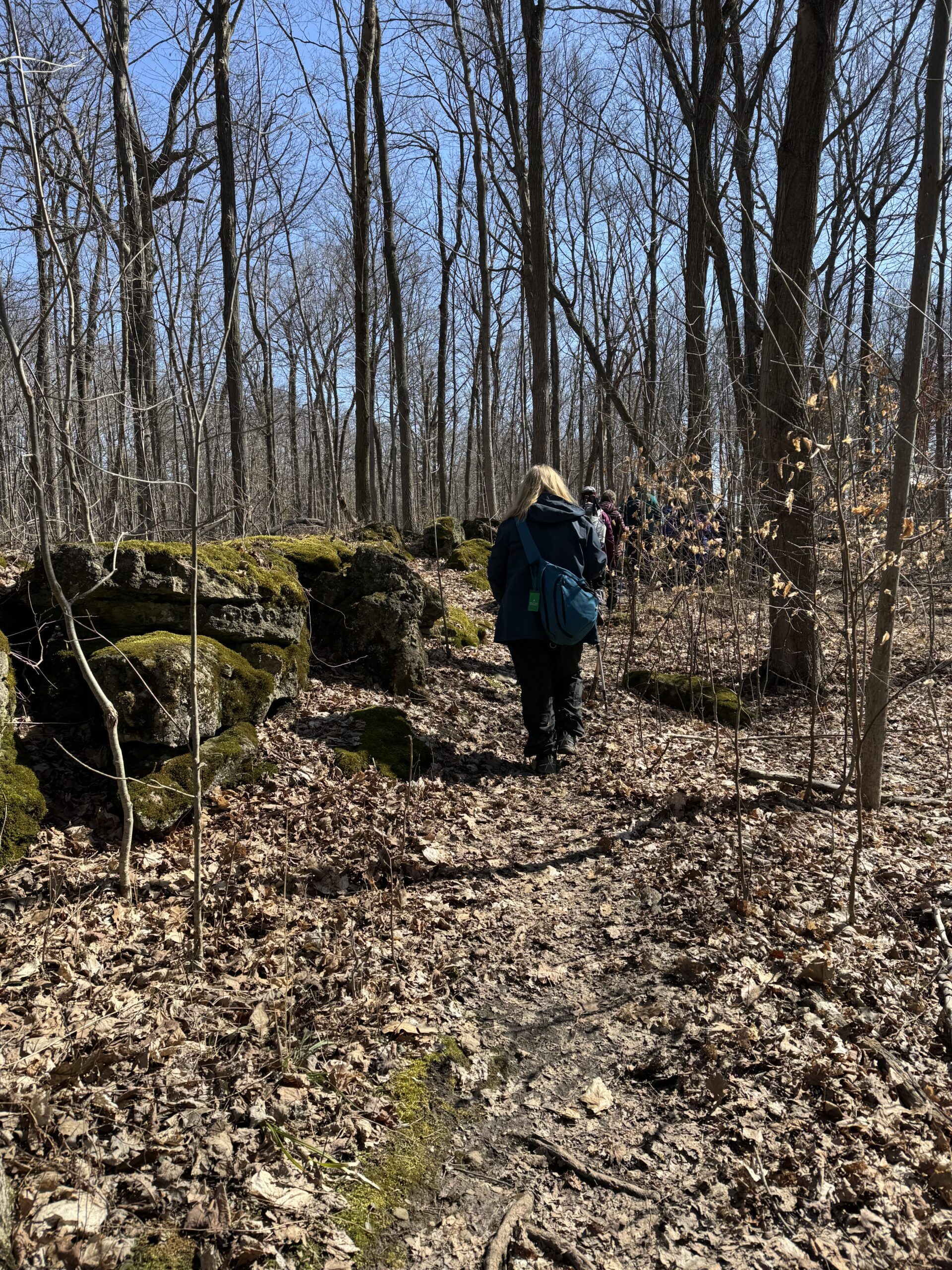
Summer's End
https://hikes.brucetrail.org/event/summers-end/Sorry, the registration cut-off time for this hike has been reached.Not a member? Click here to join today!Hosting Club: Iroquoia
Category: Junior Hiker
Location (Google Maps): Rock Chapel RBGHike Leader(s): Anne Armstrong Click here to contact Hike Leader(s)
Pace: Leisurely – 3km/hr or less
Terrain: Easy – Mostly flat and usually good footing
Distance: 4-5 km.Description
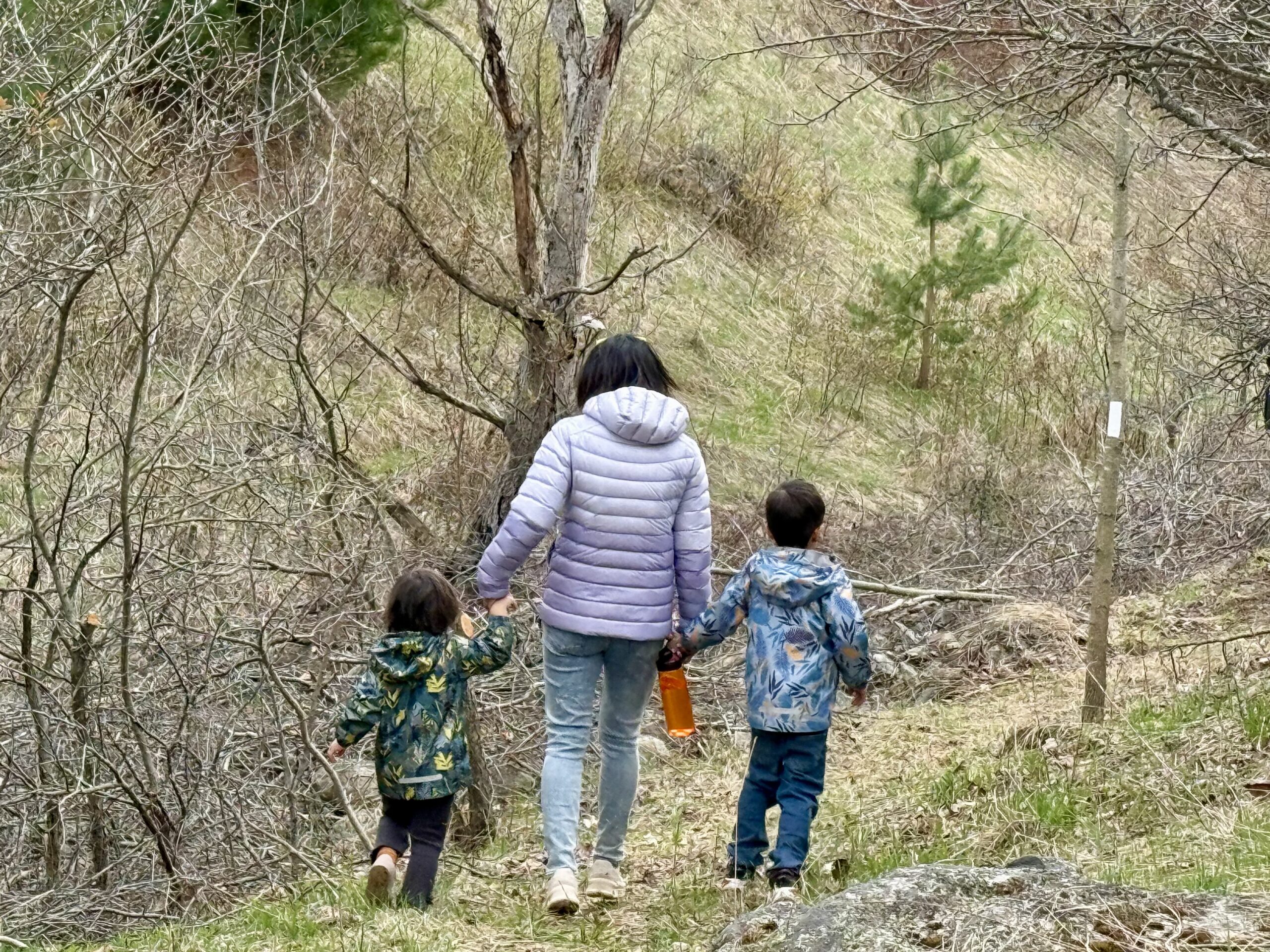
Summer is nearly over and soon our children and grandchildren will be back in the classroom. Why not have them join this easy hike to be in a much larger classroom, the outside world of nature? Join this Junior Hiker adventure, learn about nature and also earn a summer badge, part of a series of Junior Hiker badges. Meet at 9:45 for a 10:00 start at the Rock Chapel RBG property on Rock Chapel Rd. There is a parking fee or use your RBG membership parking pass. Bring water, a snack and sunscreen. Please wear appropriate footwear (good running shoes). Children should be accompanied by an adult. - 29August 29, 2025
9:00 am Niagara on the Lake Tour
https://hikes.brucetrail.org/event/900-am-niagara-on-the-lake-tour-44/Sorry, the registration cut-off time for this hike has been reached.Not a member? Click here to join today!Hosting Club: Niagara
Category: Urban
Location (Google Maps): Meet on King St near Centre St at the entrance to Veteran’s Memorial Park, Niagara-on-the-LakeHike Leader(s): Suzanne Gourluck Click here to contact Hike Leader(s)
Pace: Medium
Terrain: Moderate
Distance: 6-7kmDescription
Discover where the Niagara River meets Lake Ontario. Experience the Heritage District, woods and the Niagara Parkway.Some weeks may be totally on sidewalks and roads while others may include a mix of trail and paved pathways.
Great way to build up endurance for longer more strenuous hikes.
Plan to stay for conversation and a coffee at Sweets & Swirls,
Community Centre, Niagara Stone Rd., NOTL
Woodford Escarpment side trail & Crevices Springs side trail - Looping with the Main trail
https://hikes.brucetrail.org/event/woodford-escarpment-side-trail-crevices-springs-side-trail-looping-with-the-main-trail/Sorry, the registration cut-off time for this hike has been reached.Not a member? Click here to join today!Hosting Club: Sydenham
Category: General Hike
Location (Google Maps): Meet in the north-east corner of the parking lot at Home Depot on Highway 26 on the east side of Owen Sound.Hike Leader(s): Ian Mills
Pace: Medium: 3 to 4 km/h
Terrain: Moderate: Some hills and/or poor footing, There might be muddy sections., There might be sections with water on the trail.
Distance: 5 kmDescription
Join us for a nice pleasant loop north of Woodford to see interesting terrain surrounded by forest. For those that are interested we can do a second slightly more challenging loop south of Woodford. Please bring water, possibly a light snack and hiking footwear. Check out the description BTC Map # 30.
Afternoon Hike - Scotsdale Farm
https://hikes.brucetrail.org/event/afternoon-hike-scotsdale-farm/Sorry, the registration cut-off time for this hike has been reached.Not a member? Click here to join today!Hosting Club: Iroquoia
Category: Afternoon/Evening Hikes
Location (Google Maps): Meet in the parking lot on 8th Line at 4:15 pmHike Leader(s): Karen Bergmann Click here to contact Hike Leader(s)
Pace: Medium – 3 to 4 km/hr
Terrain: Moderate – Some hills and/or some poor footing
Distance: 6.5 kmsDescription
We will hike the Maureen Smith Side Trail, the main trail and the Bennett Heritage Side Trail. Bring bug spray/bug net and plenty of water. - 30August 30, 2025
8:00 Ball's Falls to Cave Springs
https://hikes.brucetrail.org/event/800-balls-falls-to-cave-springs/Sorry, the registration cut-off time for this hike has been reached.Not a member? Click here to join today!Hosting Club: Niagara
Category: In and Out
Location (Google Maps): on the shoulder of Glen Rd., Jordan ; km 55.5Hike Leader(s): Karen Couch Click here to contact Hike Leader(s)
Pace: Brisk, Medium
Terrain: Strenuous
Distance: 18-20 kmDescription
This hike will follow the main trail from one conservation area to another, going from Jordan to Beamsville. To start, after a gentle decline, we will climb a long set of stairs, and pass through Ball’s Falls historical village with a short detour to look at the lower Ball’s Falls*. The trail follows along the top of the escarpment with beautiful views of the vineyards below, with numerous steep ascents/descents. Once we reach Cave Springs we will have a short rest/break before turning around and retracing our steps.*Hikers new to the area may want to plan to spend more time here after the hike.
Car Hike: Rattlesnake Point
https://hikes.brucetrail.org/event/car-hike-rattlesnake-point/Sorry, the registration cut-off time for this hike has been reached.Not a member? Click here to join today!Hosting Club: Caledon Hills
Category: General
Location (Google Maps): Rattlesnake Point Conservation Area: https://hikes.brucetrail.org/event/rattlesnake-point-crawford-lake-loop-hike/2025-08-05/Hike Leader(s): Dylan “Lana” Hubbard Click here to contact Hike Leader(s)
Pace: Brisk – 4 to 5 km/hour
Terrain: Moderate – some hills and/or some poor footing
Distance: 15 kmDescription
- We’ll be heading out on a scenic loop hike that begins and ends at the Rattlesnake Point Side Trail. Our route will take us along both the main Bruce Trail and connecting side trails all the way to Crawford Lake. There, we’ll explore the main trail loop before continuing back through the beautiful Nottawasaga Canyon. Expect some rolling hills and a mix of rocky, uneven terrain—nothing too extreme, but definitely a good workout.
August can bring heat, humidity, and plenty of bugs, so be sure to dress accordingly. Long sleeves and pants are a great idea to help protect against mosquitoes and ticks, and insect repellent is highly recommended. Sturdy hiking boots are a must, and trekking poles can be helpful on the rockier sections. Bring enough water to stay hydrated, plus a snack for the trail.
Please book your parking spot in advance through Conservation Halton.
RESERVATIONS REQUIRED!
Happy Valley Trail King City
https://hikes.brucetrail.org/event/car-hike-oak-ridges-trail-king-city-3/Sorry, the registration cut-off time for this hike has been reached.Not a member? Click here to join today!Hosting Club: Toronto
Location (Google Maps): Weston Road and 16th Sideroad intersection,2 km North of King Road
Park along 16th Sideroad RoadHike Leader(s): Mohammad Aghamiri Click here to contact Hike Leader(s)
Pace: Moderate (3-4 km/hr)
Terrain: Hilly, Level 2 (Intermediate – some hills and uneven surfaces, rocks and roots underfoot)
Distance: 14-15 kmDescription
Will explore through the happy valley forest and visit nice look out ,We have short stops for water, bio, photo and 15-20 minutes for snack,Please bring hiking poles, water,snacks and smile
For the day of hike phone number 289 588 6482
Saturday Shorts at Meltwater Moraine Protected Natural Area
https://hikes.brucetrail.org/event/saturday-shorts-at-meltwater-moraine-protected-natural-area-2/Sorry, the registration cut-off time for this hike has been reached.Not a member? Click here to join today!Hosting Club: Caledon Hills
Category: General
Location (Google Maps): Meet at 17963 Mountainview Road. Park on the grass beside the driveway. Google Maps GPS Coordinates: 43.90027, -79.93036
Directions:
From Highway #10, turn east onto Olde Base Line Road/Peel Regional Road 12. Drive for approximately 7 kilometres. Turn north/left onto Mountainview Road. Drive for approximately 8 kilometres. The driveway is on the right. Don’t be surprised by the old house and farm buildings on the property.Hike Leader(s): Sandy Green Click here to contact Hike Leader(s)
Pace: Leisurely – 3 km/hour or less
Terrain: Easy – mostly flat and usually good footing
Distance: 5 kilometresDescription
Enjoy exploring the newest Bruce Trail Conservancy Protected Natural Area in the Caledon Hills section – Meltwater Moraine. Bring snacks and beverages to keep you energized. Sturdy footwear is highly recommended. All are welcome!
Ganaraska Trail - The Gap - Badge Hike
https://hikes.brucetrail.org/event/ganaraska-trail-the-gap-2/Sorry, the registration cut-off time for this hike has been reached.Not a member? Click here to join today!Hosting Club: Iroquoia
Category: Special Event
Location (Google Maps): We will meet at Sainte Marie Among the Hurons and proceed to the north end of Tiny Trail
Please arrive by 8:45am for a 9am departure to our hike start. https://maps.app.goo.gl/JJRFGkZWG1zrpUD58Hike Leader(s): Ruth Moffatt Click here to contact Hike Leader(s)
Pace: Brisk – 4 to 5 km/hr, Medium – 3 to 4 km/hr
Terrain: Moderate – Some hills and/or some poor footing, Strenuous – Hilly with steep climbs and some poor footing
Distance: 18kmDescription
Occasionally hikes are offered off the Iroquoia Bruce Trail Club to engage members and non-members who live in other parts of the province. This is one such hike.This hike is offered as a postponement of a previous hike which had to be cancelled. It is a group hike with a car shuttle. Please be prepared to participate in the shuttle by ensuring you have 4 available seatbelts, including the driver’s. Please bring enough food and water for an 18km hike, including lunch as well as bug spray, sunscreen, first aid and appropriate clothing for possible wet weather. I will try to ensure that the badges will be available on completion with proceeds going to the Ganaraska Hiking Club. Please bring $7 exact change for the badge. Depending on the terrain, we will hike at a fairly steady, quick pace. Please ensure you are physically able for the distance and the pace before signing up for this hike. There are no dropouts – if you cannot complete the hike, you will be responsible for your own way back and expense to your car. The terrain is varied – trail and asphalt.
If you cannot make it, please remove yourself from registration by following these steps:To cancel your registration, here is a step by step:
– Sign into your account on the BTC website
– Click on My Hikes under your account
– This will take you to a list of hikes you have registered for
– Scroll down to the appropriate hike and cursor over to the far right hand column under the Action column.
– Click Cancel under the hike you wish to cancelNottawasaga Bluffs
https://hikes.brucetrail.org/event/nottawasaga-bluffs/Sorry, the registration cut-off time for this hike has been reached.Not a member? Click here to join today!Hosting Club: Blue Mountains
Category: Organized Hike
Location (Google Maps): Option 1: Tim Horton parking lot on First Street at 9:00 a.m.
Option 2: Nottawasaga Bluffs Conservation Area, 8861 Sideroad 15/16 Nottawasaga, Singhampton at 9:30 a.m.Hike Leader(s): Murray Morrison Click here to contact Hike Leader(s)
Pace: Leisurely – 3 km/hr. or less
Terrain: Easy – Mostly flat and usually good footing
Distance: 3 KMDescription
Nottawasaga Bluffs Conservation Area, 8861 Sideroad 15/16 Nottawasaga, Singhampton, ON. This is a family friendly hike suitable for school aged children, but all are welcome. There are some steeper inclines when passing through the caverns of the Keyhole Side Trail. Meet at Tim Horton’s, First Street, Collingwood at 9am OR Nottawasaga Bluffs 8862 Sideroad 15 & 16 Nottawasaga, Glen Huron, ON L0M 1H0, Canada, 9:30 AM
#3/5 Niagara Bruce Trail End-to-End - 17 KM
https://hikes.brucetrail.org/event/3-5-niagara-bruce-trail-end-to-end-16-km/Sorry, the registration cut-off time for this hike has been reached.Not a member? Click here to join today!Hosting Club: Toronto
Category: Car Hike
Location (Google Maps): Decew House Heritage ParkHike Leader(s): Alina Lin
Pace: Brisk (4-5 km/hr)
Terrain: Challenging, Hilly, Level 2 (Intermediate – some hills and uneven surfaces, rocks and roots underfoot), Rocky, Variable
Distance: 17 kmDescription
The Niagara region is one of Canada’s most productive fruit-growing areas. Strolling along country roads lined with farms and orchards, you’ll see ripe peaches, plums, and grapes hanging from the trees and smell the sweet fragrance of the harvest in the air—you’ll truly understand why it’s called a Fruit Paradise. To make the most of the short harvest season, let’s hike the Niagara section of the Bruce Trail and if you are interested, visit local farms afterward—perhaps even enjoy some fruit picking!This is the third of a five-hike End-to-End series covering the entire Niagara section of the Bruce Trail. The full section stretches over 80 kilometers from Niagara-on-the-Lake to Grimsby. I am using Map Edition 29, so please note that kilometer markings may not be fully up to date, and actual hiking distances may vary slightly.
Meeting Point: Decew House Heritage Park parking lot at KM29.8
GPS: N43.107568, W79.249598.
Enter from Decew Rd, 500 m west of Merrittville Hwy. Please arrive before 9:15am to give yourself time to coordinate the car shuttle.We will car shuttle to the starting point of the hike at KM 49.3
GPS: N43.121706, W79.351235.
Parkig Area at Louth Conservation Area. Enter from Staff Ave, Louth, 500 m noth of Pelham Rd (Regional Rd 69).The group will then hike from KM49.3 to KM33.5, and then take Decew Rd back to KM29.8.
All drivers are expected to participate in the car shuttle, either before or after the hike.Important Notes:
- Wear sturdy hiking boots and dress appropriately for the weather
- Bring bug spray (mosquitoes may be present)
- Bring snacks, lunch, and at least 2L of water
- No dropouts available.
- No pets .