
Hike Schedule
Join us for a hike! Registration required.
All hikes available to BTC members. Some hikes are open to non-members.
See Refund Policy for Paid Hikes >
TIP: The calendar view displays up to 7 hikes on a day, but often there are more. Click “View more events” to see them all.
Categories
- 08January 8, 2023

Burnt Point Loop Trail
https://hikes.brucetrail.org/event/burnt-point-and-mermaids-cove-trails/Sorry, the registration cut-off time for this hike has been reached.Not a member? Click here to join today!Hosting Club: Peninsula
Location (Google Maps): Bruce Trail Northern Terminus Cairn, Bay St, Tobermory, ON, Canada
Hike Leader(s): Saabir Sohrab Click here to contact Hike Leader(s)
Pace: Medium
Terrain: Moderate
Distance: ~10kmDescription
Get ready for some breathtaking sights as we hike along the Saugeen (Bruce) Peninsula’s Georgian Bay side – The Burnt Point loop trail with a detour to the Mermaid’s CoveOn this trail you can expect: repeated uphill and downhill sections, areas of uneven and exposed rock, and challenging footing particularly on the rocky beaches.
Dress in layers according to weather and wear footwear for rugged terrain.
Bring water, lunch and snacks.
Park admission fee applies.
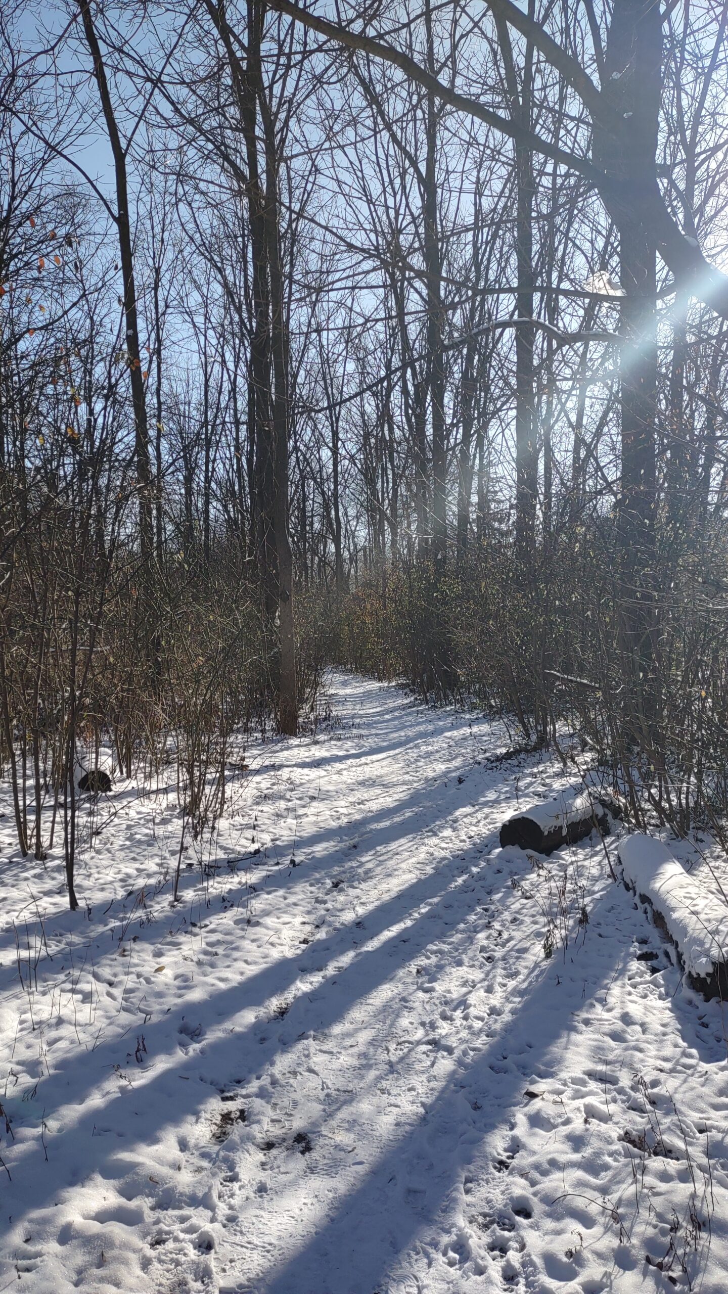
Mimico Creek Trail, Part 2 - Wayne Crockett's Frustrating Pre-hike from May 23, 2020
https://hikes.brucetrail.org/event/mimico-creek-trail-part-2-wayne-crocketts-frustrating-pre-hike-from-may-23-2020/Sorry, the registration cut-off time for this hike has been reached.Not a member? Click here to join today!Hosting Club: Toronto, Caledon Hills
Category: Urban Walk
Location (Google Maps): Bloor Islington Place, just inside the Islington Ave. exit in front of Urban Fresh. Take the tunnel from Islington Subway Stn and turn left into Bloor Islington Place. Washrooms beyond Urban Fresh.Hike Leader(s): Andrew Proczek, Tom Swales
Pace: Moderate
Terrain: Flat, Variable
Distance: 12.5 kmDescription
In November we lost one of the most dedicated and personable hike leaders our club has ever seen in Wayne Crockett. As well as his impeccable leadership skills and knowledge of Canadian history, Wayne was known for his dry-wit humor. Attempting the Mimico Creek Trail, south of Bloor Street, on an early morning in Spring, during another Covid lockdown, Wayne posted on his Facebook page, “…based on someone once telling me that with a little perseverance, you can find a path along the Mimico Creek from Bloor to the lake shore (about 4 km in a straight line). They lied or I misremembered. I did find some nice stretches of natural path running within a metre or two of the creek but they always dead ended and I had to retrace and do some road walking to find another point of access… Not going to be added to my repertoire, there would be a mutiny for sure.” And commenting on his own picture of some ducks lounging in the creek he wrote, “They were laughing. Ha, this Hooman just walked by here going the other way five minutes ago….” I plan to keep a few of Wayne’s frustrations as part of the hike, with the group not knowing if we are passing through or having to double back. Let the ducks laugh! Little did you know, Wayne, that we would follow you anywhere.Come join Tom Swales and I as we complete the Mimico Creek trail that we started on December 18th at Eglington Avenue hiking as far as Van Dusen Blvd. just south of Bloor St. In Part two we will pick up the trail from the Subway bridge at Tom Riley park retracing Wayne’s hike in its entirety to the mouth of Mimico Creek at Lake Ontario. From there we will do a circuit of both Humber Bay East* and West Parks and work our way west to Amos Waites Park at Lake Shore Blvd & Mimico Avenue finishing at Birds & Beans Cafe, an organic & eco-friendly coffee house.
*Humber Bay Park East is in fact closed due to construction and not due to reopen until early 2024. In its place will do a section of Palace Pier Park going east and then loop back.
From our end point you can catch either the #76 bus to Royal York Subway Stn or the #501 going west to Long Branch and Mississauga Transit or east into downtown.
Please arrive 15 minutes early and remember to bring your icers.
The up-to-date route : https://onthegomap.com/s/238dfts9
Snowshoe Sydenham Nature Reserve Side Trail loop
https://hikes.brucetrail.org/event/snowshoe-sydenham-nature-reserve-side-trail-loop/Sorry, the registration cut-off time for this hike has been reached.Not a member? Click here to join today!Hosting Club: Sydenham
Category: Snowshoe Hike
Location (Google Maps): Roadside parking on the Derry Line / Grey Rd. 18 just east of Rockford where the CP rail trail crosses, east of km 94.5 (Map 32)Hike Leader(s): Bill Snel Click here to contact Hike Leader(s)
Pace: Leisurely: 3 km/h or less
Terrain: Moderate: Some hills and/or poor footing
Distance: 3.6 kmDescription
Snowshoe a loop through a nice bush with rocky areas. Contact Bill Snel at w.snel2@gmail.com or landline (519) 470-0584. - 09January 9, 2023

Iroquoia E2Ein10 - Hikes 2, 4, 6, 8 & 10 NEW YEAR led by Bryon Robertson | Weekdays, Brisk
https://hikes.brucetrail.org/event/iroquoia-e2ein10-hikes-2-4-6-8-10-new-year-led-by-bryon-robertson-weekdays-brisk/Sorry, the registration cut-off time for this hike has been reached.Not a member? Click here to join today!Hike open to BTC Members only.
This is a Multi-Day Hike
You are signing up for the following dates:
2023-01-09, 2023-01-11, 2023-01-13, 2023-01-16, 2023-01-17Hosting Club: Iroquoia
Location (Google Maps): Various locations throughout the Iroquoia section of the Bruce Trail
Hike Leader(s): Bryon Robertson Click here to contact Hike Leader(s)
Pace: Brisk – 4 to 5 km/hr
Terrain: Dependent on Conditions, Slippery and Steep Sections, Slippery Sections Likely, Strenuous – Hilly with steep climbs and some poor footing
Distance: Varies by hike, 10 – 16kmDescription
This series of hikes is geared toward the experienced hiker capable of maintaining an average hourly pace of at least 3.5 km./ hr.Please first register for Bryon’s odd-numbered hikes here.
And then join the waitlist on this hike listing. Only those who have registered for Bryon’s odd-numbered E2E in 10 hikes will be moved off the waitlist and registered into an even-numbered series.
If you prefer to do these hikes on the same day as the odd-numbered hikes, please register for Bryon’s “same day” even-numbered E2E in 10 hikes.

Dundas Rail Trail to DVCA - RESCHEDULED to MONDAY JAN 9
https://hikes.brucetrail.org/event/dundas-rail-trail-to-dvca-2/Sorry, the registration cut-off time for this hike has been reached.Not a member? Click here to join today!Hosting Club: Iroquoia
Category: General Hike
Location (Google Maps): MEET at Hamilton Rail Trail -Binkley Road parking lot
To find Binkley Road parking lot -Take Governor’s road heading west past the main entrance of DVCA to Binkley Road
Turn left onto Binkley road and quick right turn onto Old Highway 99
The parking lot is beside the rail trail entrance on the leftHike Leader(s): Cathie Green Click here to contact Hike Leader(s)
Pace: Medium – 3 to 4 km/hr
Terrain: Moderate – Some hills and/or some poor footing
Distance: Approximately 12 kmsDescription
Winter hike on trails leading into Dundas Valley Conservation area. We will start on the Hamilton Rail Trail from the Binkley Road parking lot and follow that to Gravel Pit Road and onto the Headwaters trail We will hike to the Lookout trail, have a break/lunch and head back via the Reforestation Trail, Mineral Springs Road and back onto the rail trail to our parked cars. Suitable trail for dogs as long as leashed and friendly. Please have water to hike and wear suitable clothing for the weather- Bring a snack/lunch, hiking boots, poles and ICERS -Dundas Valley trails can be quite icy depending on the weatherAny questions or concerns, please email me at cathiekygreen@gmail.com or text 416-931-2095 - 10January 10, 2023
9:15 Short hike, Pelham Road, Short Hills
https://hikes.brucetrail.org/event/915-short-hike-pelham-road-short-hills-33/Sorry, the registration cut-off time for this hike has been reached.Not a member? Click here to join today!Hosting Club: Niagara
Location (Google Maps): Pelham Road entrance, Short Hills Provincial Park
Hike Leader(s): janet davey Click here to contact Hike Leader(s)
Pace: Medium
Terrain: Moderate
Distance: 6 kilometresDescription
Hike the main and side trails in Short Hills. Bring hiking boots, icers and water.Fairmount and Siegerman loop
https://hikes.brucetrail.org/event/fairmount-and-siegerman-loop/Sorry, the registration cut-off time for this hike has been reached.Not a member? Click here to join today!Hosting Club: Beaver Valley
Location (Google Maps): Park @ km 98.3 of Beaver Valley section on Sideroad 22B (west of Fairmount Side Trail) Access from Grey Rd 7 only.
Map 28 E 30Hike Leader(s): Kristina Rettie Click here to contact the hike leader.
Pace: Brisk
Terrain: Moderate, Some steep sections, Strenuous
Length of Hike: 12kmDescription
This hike will take us in a clockwise loop beginning with the Fairmount Side Trail leading us to Beaver Valleys hidden treasure, Webwood Falls. After we take in the beauty of the Falls there is some road hiking before we begin our decent. And with a decent you know what comes next. Yup…you guessed it, UP, UP, UP and maybe even more UP along the Siegerman Side Trail. We will then hit the main trail until we get back to our cars.Please be prepared with icers/snowshoes
Bring plenty of water and snacks
No dogs!
Text or call Kristina @ 519-410-9077 for morning of cancelations
COVID-19 Precautions Before, During and After your Hike
- Each hiker joining a Bruce Trail Club organized hike must perform a self-screening check before hiking.
Find Ontario’s self-assessment tool here: https://covid-19.ontario.ca/self-assessment/ - If you are experiencing COVID-19 symptoms, stay home.
- Personal Protective Equipment:
- Hikers may choose to wear masks
Transportation
It is the Bruce Trail Conservancy’s current policy that car shuttles are allowed. It is at the discrepancy of individual hike leaders to make that decision.
Other Guidelines
- Arrive 15 minutes before the start of the hike.
- Wear sturdy footwear and appropriate attire for the weather and the terrain.
Hiking poles are a good idea in any season, especially if the terrain is rocky or slippery. In winter, snowshoes or icers/crampons are needed when conditions dictate.
Wearing appropriate clothing and footwear prevents injuries and shows consideration for a safe and positive group hiking experience. - Always carry I.D. and your health card.
- Bring sufficient water and snacks (or lunch if indicated). A minimum of 1L of water is recommended on all hikes, and 3L is recommended for long, challenging hikes in the heat of the summer.
- Bring sunscreen and insect repellent (for spring and summer hikes).
- Bring your own first aid kit.
- Please leave dogs at home.
City View Park, Burlington
https://hikes.brucetrail.org/event/city-view-park-burlington/Sorry, the registration cut-off time for this hike has been reached.Not a member? Click here to join today!Hosting Club: Caledon Hills
Category: Tuesday Hikers
Location (Google Maps): City View Park parking, Burlington.
From Highway 403 going west, turn right on Brant Street, left on Dundas Street, left on Kerns Rd., take second turn left into City View Park to the parking lot.Hike Leader(s): Mohammad Shafiq Click here to contact Hike Leader(s)
Pace: Medium – 3 to 4 km/hour
Terrain: Moderate – some hills and/or some poor footing
Distance: 12 kmDescription
From City View Park will connect with main Bruce Trail and hike to Smokey Hollow waterfall, also hike Kings ST and Upper Grindstone ST on the way. After snack break will trace back our steps and return to parking.
It’s an opportunity to start shedding some weight may have gained during holiday partying and get back to shape.
Bring icers, gaiters, water and snack. Dress according to weather.Check your email at 7:30 am in case there is change due to weather conditions, a message will be sent.
Hike leader phone No. 416-566-0503.
Humber Valley Heritage Trail
https://hikes.brucetrail.org/event/humber-valley-heritage-trail-7/Sorry, the registration cut-off time for this hike has been reached.Not a member? Click here to join today!Hosting Club: Dufferin Hi-Land
Category: Tuesday Hike
Location (Google Maps): Dick’s Dam Park in Bolton. For car pooling, meet at parking on east side of Party City/Winners building, Hwy10 and 4th Ave. in Orangeville at 8:30 am. Or from King Street and Hwy 50 (Queen St.) in downtown Bolton, drive north on Queen St. (Hwy 50) and in 0.5 km cross the bridge over the Humber River. Turn left on Hickman St., then right on Glasgow Rd. Follow Glasgow Rd. around the bend to parking on your left at Dick’s Dam Park for a 9:30 am start.Hike Leader(s): Tony Evangelista, Les Babbage, Inge Eckerich, Julie Daley Click here to contact Hike Leader(s)
Pace: Medium
Terrain: Moderate, Slippery and Steep Sections
Distance: Long Hike 9 km Short Hike 4.5kmDescription
We will hike about 4.5 km along the Humber River to the parking lot at Duffy’s Lane and Emil Kolb Pkwy and then return by the same route for a total of 9 km. The short hike will end at the parking lot at Duffy’s Lane and Emil Kolb Pkwy for a car shuttle back to Dick’s Dam.Icers are recommended. Bring lunch , water and snacks. If the snow is deep, snow shoes may be required.
- Each hiker joining a Bruce Trail Club organized hike must perform a self-screening check before hiking.
- 11January 11, 2023

8:30 Niagara Winter End to End #2 Kinsman Park to Glen Road
https://hikes.brucetrail.org/event/830-niagara-winter-end-to-end-2-kinsman-park-to-glen-road-2/Sorry, the registration cut-off time for this hike has been reached.Not a member? Click here to join today!Hosting Club: Niagara
Category: Car Pool
Location (Google Maps): Meet Parking Area Glen Road Carpool to Kinsmen Park Frost Rd Beamsville.Hike Leader(s): Sam Rutherford Click here to contact Hike Leader(s)
Pace: Medium
Terrain: Moderate
Distance: 13.2 kmsDescription
We will be car pooling, Bring Icers and poles. No dogs. To earn your Niagara Winter End to End badge, it must be completed between December 21, 2022 to March 21, 2023.
Because of the potential for bad winter trail conditions we have broken this e2e into 6 hikes rather than 5Mono Cliffs Provincial Park
https://hikes.brucetrail.org/event/mono-cliffs-provincial-park-4/Sorry, the registration cut-off time for this hike has been reached.Not a member? Click here to join today!Hosting Club: Blue Mountains
Category: Register on-line or sign-in morning of hike
Location (Google Maps): Hike meets in the parking lot behind Tim Hortons on First St. in Collingwood.Hike Leader(s): AnHong MacNeil Click here to contact Hike Leader(s)
Pace: Brisk – 4 to 5 km/hr, Medium – 3 to 4 km/hr
Terrain: Moderate – Some hills and/or some poor footing
Distance: 9kmDescription
Please be prepared with icers’s or snowshoes.We will drive to Mono Centre (about 45 minutes from Collingwood south on Airport Road) and park in the village parking lot. We will enter the park and pick up the white blazed trail at km 1.2 of the Dufferin Hi-Lands section. Climbing up the escarpment, we continue along the white blazed trail past McCarston’s Lake to km 5.1. From here, we proceed up the Lookout Side Trail where we will have our lunch while enjoying the amazing view. We then return down the Spillway Trail and along the valley bottom to exit the park, having completed our circuit. Bring beverages and lunch. Map 19 Ed. 30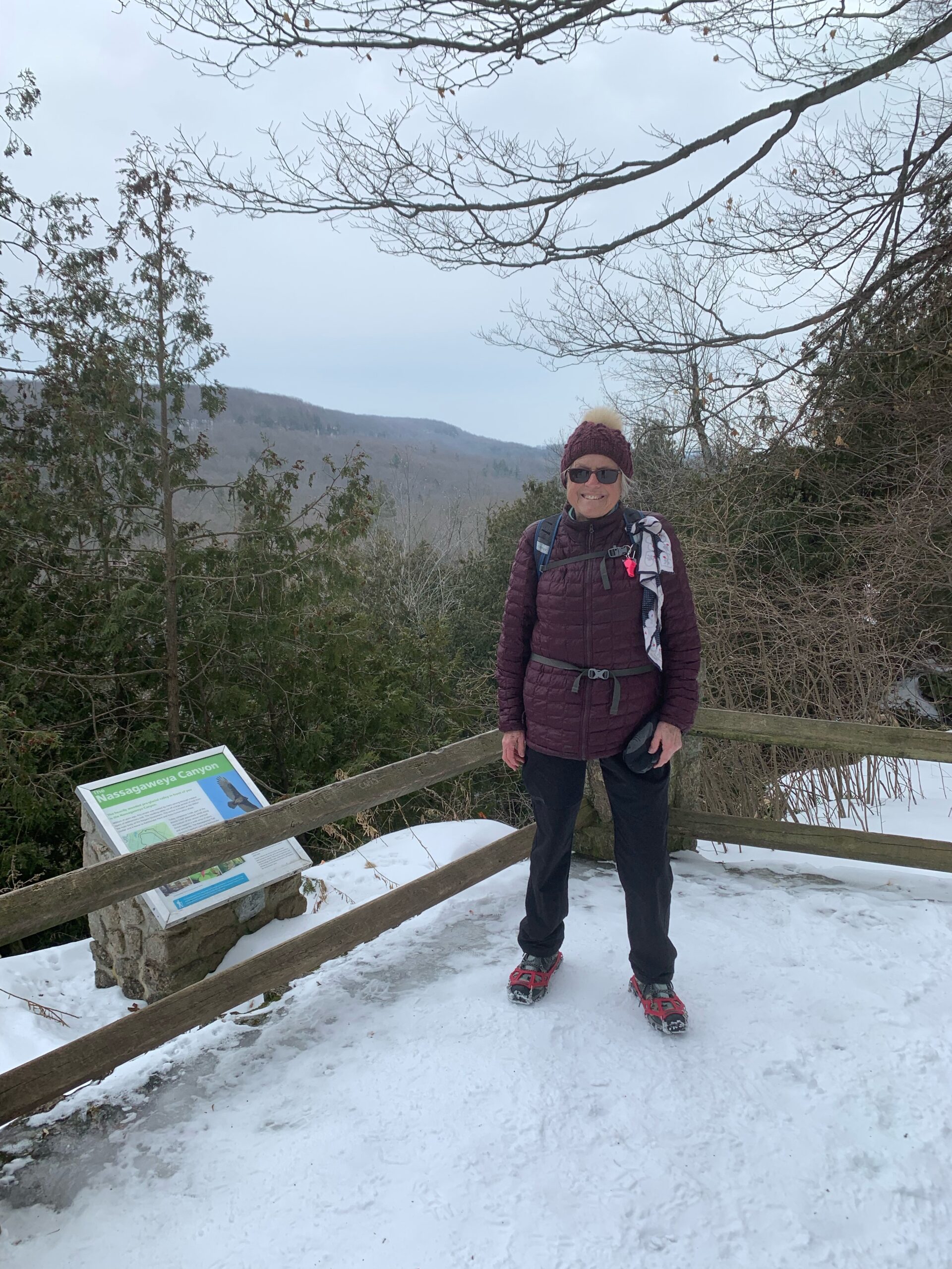
To the Falls and Back
https://hikes.brucetrail.org/event/to-the-falls-and-back-4/Sorry, the registration cut-off time for this hike has been reached.Not a member? Click here to join today!Hosting Club: Iroquoia
Category: Good Companions
Location (Google Maps): Halton Agreement Forest. Intersection of 10th Sideroad East and Fourth Line NassagaweyaHike Leader(s): Anne Armstrong Click here to contact Hike Leader(s)
Pace: Leisurely – 3km/hr or less
Terrain: Moderate – Some hills and/or some poor footing
Distance: 9-10 km.Description
Today’s hike takes place in the Halton Agreement Forest which offers a myriad of trails, both hiking and biking. We will use a combination of both to hike to Hilton Falls and return. Hopefully we will have enough snow to make the trails easy to navigate. Meet at 9:45 am. for a 10:00 am. start at the intersection of 10th Sideroad (east of Guelph Line) and Fourth Line Nassagaweya. Bring water, a snack, icers and poles if using. If cancelling after 4:00 pm. on the day before the hike please text or email the leader.Leader: Anne Armstrong 905 617 3937 hikingrandma@gmail.com
- 12January 12, 2023
9:00 am Long Hike Jordan to Moyer / Louth
https://hikes.brucetrail.org/event/900-am-long-hike-jordan-to-moyer-louth-32/Sorry, the registration cut-off time for this hike has been reached.Not a member? Click here to join today!Hosting Club: Niagara
Location (Google Maps):
Jordan Hollow Park 3039 King St Jordan
Pace: Medium
Terrain: Moderate
: 10kDescription
From Jordan Hollow Hike the main trail to Upper and Lower Balls Falls, Moyer Road or Louth and Return. You must register for each hike. Dress for the weatherBring Poles, snack a drink and icers
9:15 Short hike, Jordan Hollow
https://hikes.brucetrail.org/event/915-short-hike-jordan-hollow-45/Sorry, the registration cut-off time for this hike has been reached.Not a member? Click here to join today!Hosting Club: Niagara
Location (Google Maps): Jordan Hollow Park Jordan
Hike Leader(s): Bill Russell Click here to contact Hike Leader(s)
Pace: Medium
Terrain: Moderate
Distance: 6 kilometresDescription
Hike the main trail and side trails around Jordan and Balls Falls. Bring hiking boots, icers and water. - 13January 13, 2023
9:00 Niagara-on-the-Lake Tour
https://hikes.brucetrail.org/event/900-niagara-on-the-lake-tour-8/Sorry, the registration cut-off time for this hike has been reached.Not a member? Click here to join today!Hosting Club: Niagara
Category: Urban
Location (Google Maps): Park on King St near the entrance to Veteran’s Memorial Park, King & Centre St., Niagara-on-the-LakeHike Leader(s): Margaret Northfield Click here to contact Hike Leader(s)
Pace: Medium
Terrain: Easy
Distance: 6-8kmDescription
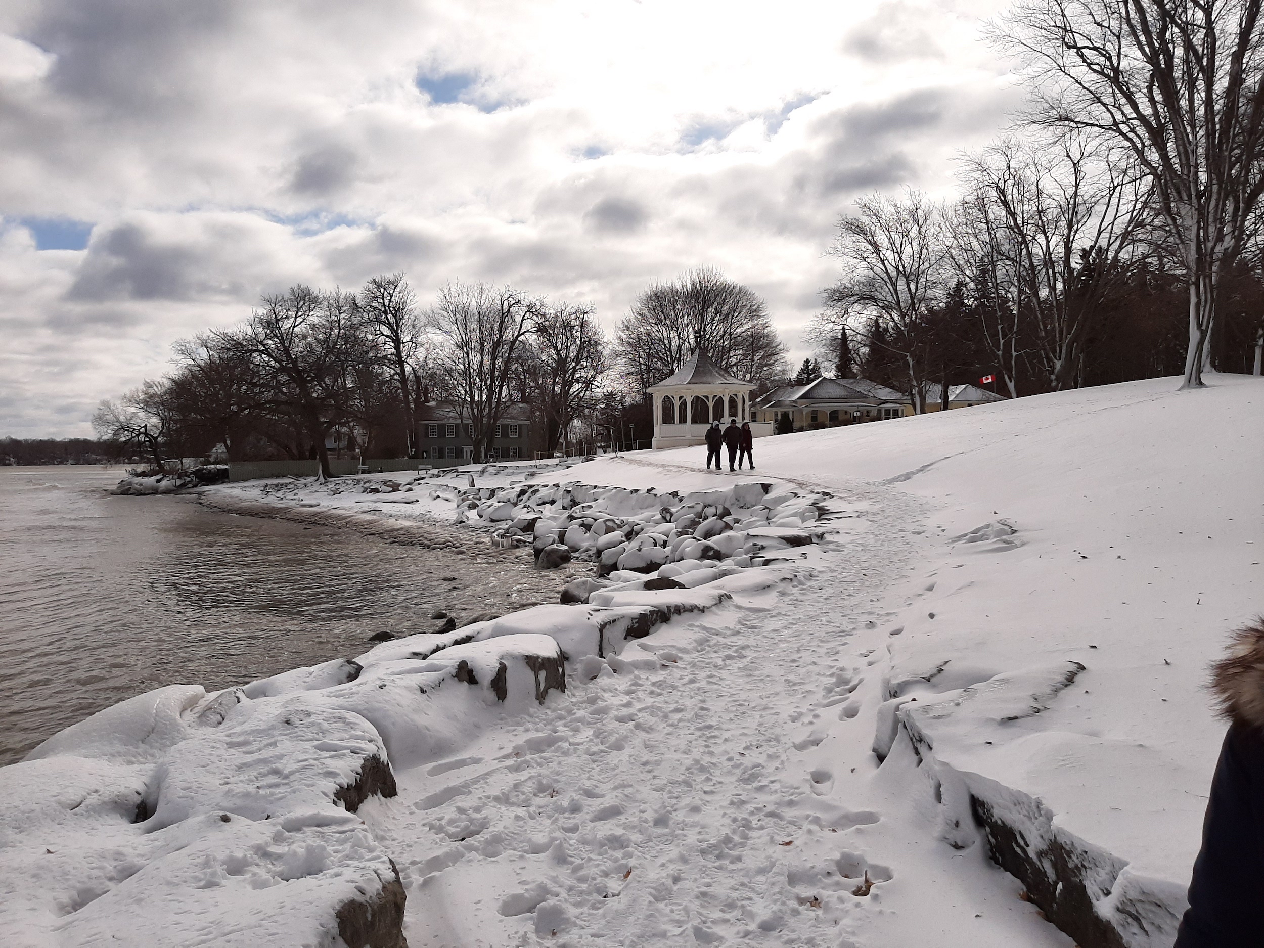
Each Friday we will explore different neighbourhoods, trails and parkland throughout Historic Niagara-on-the-Lake.
Moderate pace with some weeks entirely on sidewalks and roads while others may include a mix of trails and paved pathways. Great way to build up endurance for longer more strenuous hikes.
Prepare for cooler windy conditions on open parkland and along Lake Ontario and Niagara River trails.
Plan to stay for conversation and a warm cup of coffee or tea at Sweets & Swirls, Community Centre, Niagara Stone Road, NOTL
Field Trip! Pretty River Workout Blue Mountains BTC
https://hikes.brucetrail.org/event/field-trip-pretty-river-workout-blue-mountains-btc/Sorry, the registration cut-off time for this hike has been reached.Not a member? Click here to join today!Hosting Club: Beaver Valley
Location (Google Maps): Meet in the Snowdrifters parking lot northeast of km 46.8 on Pretty River Road. Map 23, Edition 30. 44.430927 -80.275390
Hike Leader(s): Glenda Collings Click here to contact the hike leader.
Pace: Medium
Terrain: Moderate, Strenuous, Some steep sections
Length of Hike: Approx. 8.8 km with a short in and out to the highest point on the Bruce TrailDescription
We will be working on our cardio as we climb up and down some main and side trails in Pretty River Provincial Park. We’ll be looping through the area then returning to our cars. Please bring snowshoes and icers and we’ll decide what we need on the day. - 14January 14, 2023
Car Hike: Happy Valley King City
https://hikes.brucetrail.org/event/car-hike-happy-valley-king-city-2/Sorry, the registration cut-off time for this hike has been reached.Not a member? Click here to join today!Hosting Club: Toronto
Category: Car Hike
Location (Google Maps): 14510 Weston Road, King City, King, Ontario, park along 16th side roadHike Leader(s): Mohammad Aghamiri Click here to contact Hike Leader(s)
Pace: Moderate
Terrain: Variable
Distance: 14-15KMDescription
It is winter time please bring your icers, hiking poles, proper closing and shoes and hot drinks,Please carefully read safety procedures during the hike:
1-Hikers must stay between the leader and the sweep.
2-Hikers must advise the leader or the sweep if they wish to leave the group.
3- Hikers must follow the whistle instructions: 1 blast- stay where you are; 2 blasts come to the leader; 3 blasts – come to the leader quickly.
4-Hike leader may request volunteers to stop at trail intersections, they need to help hikers to the direction the group walk and wait till they see the sweep .
5-Hikers have to make sure they can see the persons behind and in front of them.

Cancelled -Winter Coach Trip: Wasaga Beach Provincial Park
https://hikes.brucetrail.org/event/winter-coach-trip-wasaga-beach-provincial-park/Sorry, the registration cut-off time for this hike has been reached.Not a member? Click here to join today!Hosting Club: Toronto
Category: Cancelled
Location (Google Maps): Wasaga NordicHike Leader(s): Martina Furrer, Duro Vukman Click here to contact Hike Leader(s)
Description
Due to the contuing warm temperatures and lack of snow this trip has been cancelled.Bus departs 10 York Mills Rd at 8:30 AM and Major Mackenzie Dr and HWY 400 Park and Ride at 8:50 AM. If you wish to be picked up at the Major Mackenzie Dr and HWY 400 Park and Ride, select that option when you register. Please arrive 15 minutes before departure. The bus waits for no one.
Join us for an awesome day of cross-country skiing and snowshoeing in the forests and dunes of Wasaga Beach Provincial Park. Enjoy self-guided tours on trails groomed for classic and skate skiing, or join Duro for a fun guided snowshoe hike.
There are no food services in the park. Pack water/tea and lunch.
Coach fares must be paid online when you register. Trail fees will be collected in cash on the bus. Masks are mandatory while on the bus.
8:30 Iroquoia E2E #7
https://hikes.brucetrail.org/event/830-iroquoia-e2e-7/Sorry, the registration cut-off time for this hike has been reached.Not a member? Click here to join today!Hosting Club: Niagara
Category: Car Pool
Location (Google Maps): 16.9 to 0.0 Grimsby Lions Community Pool, 3 Elm St Car Pool to 38 Millen Road. Roadside Parking N 43.210114 w79.727058Hike Leader(s): Alan Laver Click here to contact Hike Leader(s)
Pace: Medium
Terrain: Moderate
Distance: 16.9Description
This is the 7th of 7 hikes to complete the Iroquoia section of the Bruce Trail. Dress for the weather and bring icers, gators, snacks and water
Bring $10 for the badge

9:00 International Hike
https://hikes.brucetrail.org/event/900-international-hike-2/Sorry, the registration cut-off time for this hike has been reached.Not a member? Click here to join today!Hosting Club: Niagara
Category: Urban
Location (Google Maps): Park at the Floral Showhouse, Niagara Parkway, just south of the Falls. Paid parking. Niagara Parks Parking passes suggested.Hike Leader(s): Margaret Northfield Click here to contact Hike Leader(s)
Pace: Medium
Terrain: Easy
Distance: 15kmDescription
See the Falls from every angle except overhead! Hike to the Rainbow bridge, tour the American side and return to the Canadian Side of the Falls. Bring your passport/Nexus card to cross the bridge and $1 fee. You may have to present your vaccination status.Allow extra time for going through customs.
***CANCELLED** Walters Falls
https://hikes.brucetrail.org/event/walters-falls-4/Sorry, the registration cut-off time for this hike has been reached.Not a member? Click here to join today!Hosting Club: Blue Mountains
Category: Cancelled
Location (Google Maps): Hike meets in the parking lot behind Tim Hortons on First St. in Collingwood.Hike Leader(s): Michael Treuman Click here to contact Hike Leader(s)
Pace: Medium – 3 to 4 km/hr
Terrain: Easy – Mostly flat and usually good footing, Moderate – Some hills and/or some poor footing
Distance: 5kmDescription
Please be prepared with icers’s or snowshoes.The 5km snowshoe loop provides an interesting blend of the scenic and the historic along the river and surrounding woods. There are some steep, but short ascents. The second half of the 19th century saw the area develop into a thriving community, built around the water power of
Walter Creek. At the start, take in the view of the falls and valley from the observation platform. Near the hike’s end, the steepness of the bank makes the strenuous climb up worthwhile especially if you plan to stay for lunch at the Inn. Bring water and a snack. Map 29 Ed. 30Memorial Forest
https://hikes.brucetrail.org/event/memorial-forest-3/Sorry, the registration cut-off time for this hike has been reached.Not a member? Click here to join today!Hosting Club: Sydenham
Category: Snowshoe Hike
Location (Google Maps): Parking area at the west end of Young’s Drive, off of Nichol’s Gully Road, Springmount, south of km 106.7 (Map 32)Hike Leader(s): Maureen McFarland Click here to contact Hike Leader(s)
Pace: Medium: 3 to 4 km/h
Terrain: Moderate: Some hills and/or poor footing, There might be icy and slippery sections.
Distance: 5 kmsDescription
We will explore the Memorial Forest and Merle Gunby Side Trails, including a visit to Jones Falls and a climb up through a crevice. Depending upon the conditions, snowshoes or icers may be needed. Poles would be helpful.
Pine River Discovery Hike
https://hikes.brucetrail.org/event/pine-river-discovery-hike/Sorry, the registration cut-off time for this hike has been reached.Not a member? Click here to join today!Hosting Club: Dufferin Hi-Land
Category: General Hike
Location (Google Maps):Second Line and 15 Sideroad in Mulmur Ontario. From Orangeville, head north on hwy #10 to hwy #89. Turn left and head west to county road #124. Turn right and head north to 15 Sideroad. Turn right and follow to 2nd line. Parking is on the east side of 2nd Line, just north of 15 Sideroad
Hike Leader(s): Tom Thayer and Susan Bate Click here to contact Hike Leader(s)
Pace: Medium
Terrain: Dependent on Conditions, Moderate, Strenuous
Distance: 6 kmDescription
We will be exploring the winter wonders that the Pine River Nature Reserve offers.This is a snowshoe hike so please be sure to bring your snowshoes. Should the weather not behave and snow is not in abundance, we will still do the hike but icer’s would be recommended in this case as there is sure to still be icy patches within the reserve.
Bring snowshoes, icers, mitts, hats, food, and dress according to the weather. To see the current conditions on the day of the hike, click here to access a weather station that is 5 minutes from the reserve.

Urban Walk; Waterfront Trail 2/8 - Mississauga Waterfront
https://hikes.brucetrail.org/event/urban-walk-waterfront-trail-2-8-mississauga-waterfront/Sorry, the registration cut-off time for this hike has been reached.Not a member? Click here to join today!Hosting Club: Toronto
Category: Urban Walk
Location (Google Maps): Mississauga Waterfront TrailHike Leader(s): Brian Rideout Click here to contact Hike Leader(s)
Pace: Moderate
Terrain: Flat
Distance: 8.9 kmDescription
Please join me at Union Station under the clock inside the Great Hall no later than 9:00 am. We will take the Lakeshore West train departing 9:14 am, arriving 9:42 am (subject to GO Transit schedule changes). If you want to meet us in Port Credit, please be there by 9:42 am. We start hiking no later than 10:00 am. Consider purchasing the $10 day pass for the GO train for use with your smart phone. Some of you may find the regular senior rate is cheaper. Purchase your ticket / pass in advance.We will hike from Port Credit to Long Branch along the shoreline. The estimated distance is 8.9 km. Here is an online map of our route – Port Credit to Long Branch
Bring a snack, at least 2 liters of water, and icers. Dress for cold weather.

10:00 Winter Nature Hike
https://hikes.brucetrail.org/event/1000-winter-nature-hike/Sorry, the registration cut-off time for this hike has been reached.Not a member? Click here to join today!Hosting Club: Niagara
Category: Loop
Location (Google Maps): Louth Conservation AreaHike Leader(s): Alicia Aitchison Click here to contact Hike Leader(s)
Pace: Leisurely
Terrain: Moderate
Distance: ~5kmDescription
NBTC WINTER NATURE HIKEJoin us for this first of four 2023 NBTC Nature Hikes to learn more about the biodiversity along the Niagara Escarpment. We will explore the trails throughout Louth Conservation area which offer beauty in all four seasons. Hikes will be held January, April, July & October – it will be amazing to see all the changes throughout the seasons. Your hike leaders, members of the NBTC Biodiversity Committee, will share their knowledge of the amazing flora & fauna along the trail as well as any biodiversity projects in the works for this year.
Be sure to register in advance as space is limited & the hike will be rescheduled in the event of heavy rains or heavy snow.
Contact Alicia Aitchison, aliciaaitchison1@gmail.com, with any questions.
Car Hike: Forks of the Credit
https://hikes.brucetrail.org/event/car-hike-forks-of-the-credit/Sorry, the registration cut-off time for this hike has been reached.Not a member? Click here to join today!Hosting Club: Toronto
Category: Car Hike
Location (Google Maps): Elora-Cataract Trailway and Forks of the Credit Provincial Park, Map 15Hike Leader(s): Al Brown Click here to contact Hike Leader(s)
Pace: Moderate
Terrain: Hilly
Distance: 8 kmDescription
We will start at the roadside parking where the Elora-Cataract Trailway crosses Mississauga Road, about 3 km north of Belfountain. From there we will hike along the Trailway to the PP and complete a loop around Kettle Lake. The route includes some of the smaller hills in the Park. We will get a view of the Cataract Falls from the Trailway.Based on current conditions the route will probably not have much snow cover (not much in the forecast). Icers may be needed so bring yours.
To get to the meeting point take Mississauga Road north from Brampton, passing through Belfountain. Continue north about 3 km to where the Trailway crosses Mississauga Road. Parking is available at the side of the road on both sides.
After the hike those interested may join me for light refreshments at a location TBA.