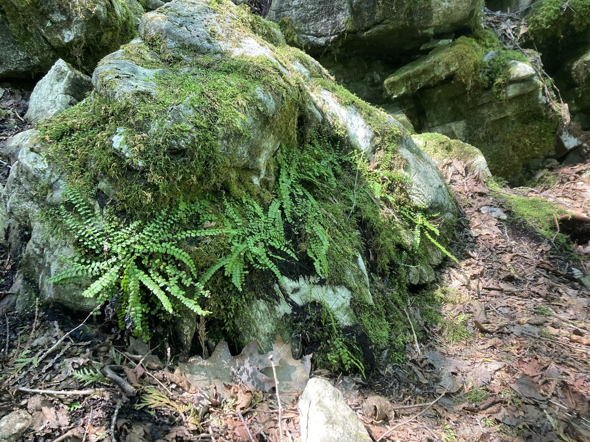
Car Hike: Fabulous Ferns

Hosting Club: Toronto Category: Car Hike Location (Google Maps): Map 13 Meet at the roadside parking on 10th line, 2.2 km southeast of 32 Sideroad (Halton Road 42) Hike Leader(s): Janet Patterson Click here to contact Hike Leader(s) Pace: Leisurely (2-3 km/hr) Terrain: Variable Distance (km): 3-4 km Description If you’ve hiked anywhere on the Bruce Trail, you’ve … Read more

GO Train Hike:: Unionville – Markham, Rouge River Trail

Hosting Club: Toronto Category: GO Train Hike Location (Google Maps): Markham Pan Am Centre, Kennedy Rd & YMCA Blvd. Meet inside main lobby by the coffee shop for 10:00 departure after those who travelled by GO Transit arrive. For those travelling by GO Transit we will meet in the Great Hall of Union Station to … Read more

Car Hike: Uxbridge-Brock Track

Hosting Club: Toronto Category: Car Hike Location (Google Maps): Meet at the Brock Tract parking lot at 1401 Brock Road, Uxbridge, ON. On the east side of Durham 1/Brock Rd., approximately 5 km south of Coppin’s Corners, Uxbridge or 1 km north of Uxbridge Pickering Town Line look for the 1401 number sign.Enter the track … Read more

Urban Walk: Waterfront Trail 7/11 – Brimley

Hosting Club: Toronto Category: Urban Walk Location (Google Maps): Toronto, Ontario, Canada Hike Leader(s): Brian Rideout Click here to contact Hike Leader(s) Pace: Moderate (3-4 km/hr) Terrain: Hilly Distance (km): 11.4 km Description Please join me at Kennedy Station by 10:15 am.  We will take the 12 Kingston Rd bus departing 10:42 am, arriving 10:58 am. We will … Read more