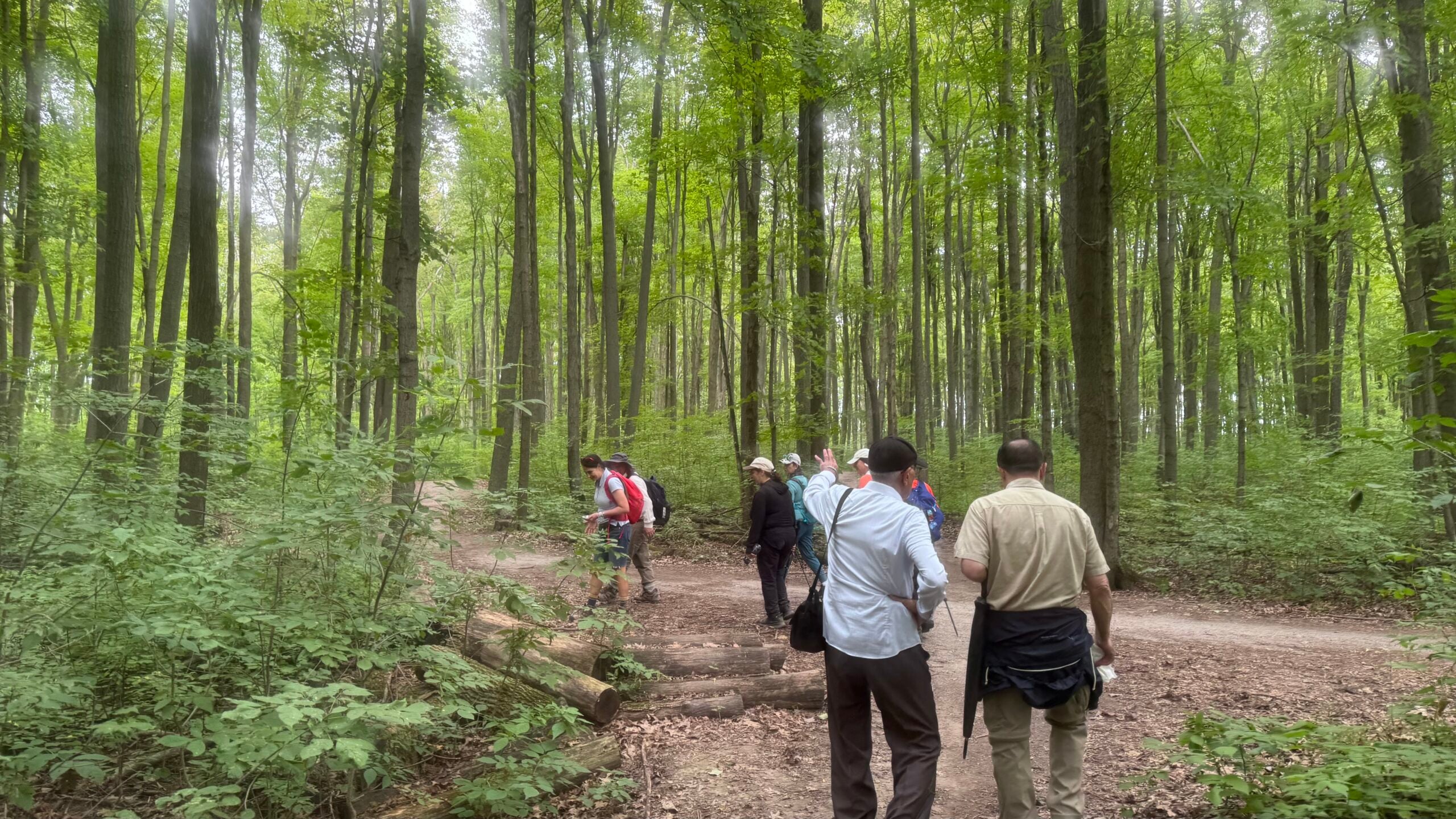
Car Hike: Jefferson Forest/Bond Lake

Hosting Club: Toronto Category: Car Hike Location (Google Maps): 1245 Bethesda Side Rd, Richmond Hill, ON L4E 1A2 ( Bethesda Trail Head Parking lot) Hike Leader(s): Amir Alemohammad Click here to contact Hike Leader(s) Pace: Moderate (3-4 km/hr) Terrain: Flat, Hilly, Level 2 (Intermediate – some hills and uneven surfaces, rocks and roots underfoot), Variable Distance (km): 8 … Read more

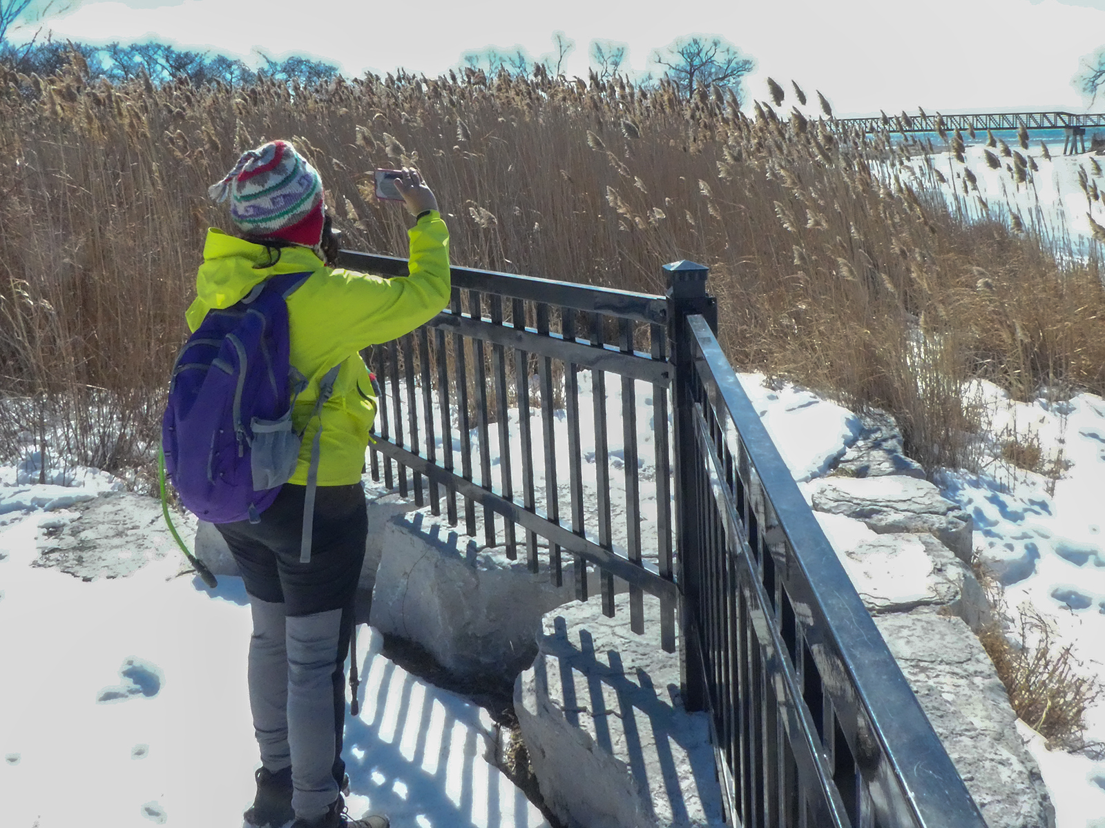
Urban Walk: Waterfront Trail 9/11 – Ajax GO to Pickering GO

Hosting Club: Toronto Category: GO Train Hike Location (Google Maps): Whitby, Ontario, Canada Hike Leader(s): Brian Rideout Click here to contact Hike Leader(s) Pace: Moderate (3-4 km/hr) Terrain: Flat, Level 2 (Intermediate – some hills and uneven surfaces, rocks and roots underfoot) Distance (km): 11 km Description Please join me under the clock in the Great Hall at … Read more

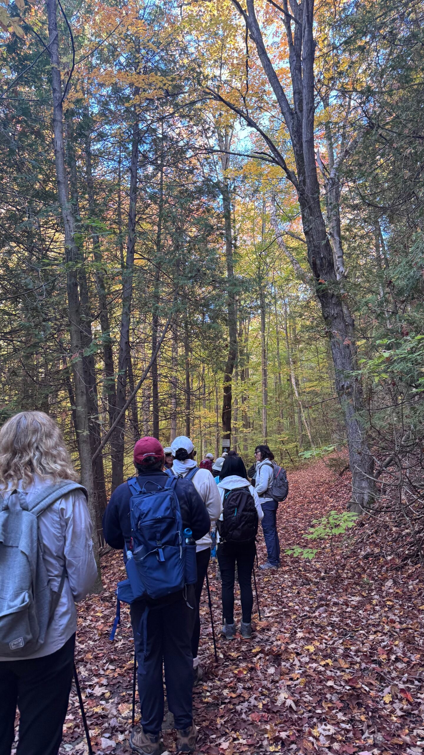
Urban Walk: Fall Walk through Central Toronto

Hosting Club: Toronto Category: Urban Walk Location (Google Maps): Meet at SIr Winston Churchilll Park, 301 St. Clair Avenue West. I will be at the edge of the park by the benches…..right at St. Clair. Hike Leader(s): Danny Pivnick Click here to contact Hike Leader(s) Pace: Moderate (3-4 km/hr) Terrain: Flat Distance (km): 8 kms Description Please join … Read more

Car Hike:Glasgow Village

Hosting Club: Toronto Location (Google Maps): Glasgow Trail, Concession Road 2 Park in parking lot at the head of trail Hike Leader(s): MOHAMMAD AGHAMIRI Click here to contact Hike Leader(s) Pace: Moderate (3-4 km/hr) Terrain: Hilly, Level 2 (Intermediate – some hills and uneven surfaces, rocks and roots underfoot), Variable Distance (km): 14-15 km Description Lets explore Goodwood … Read more

Car Hike: Exploring Uxbridge Trails


Registration Required:

Click here to register for this hike (7 spots remaining)

Hosting Club: Toronto
Category: Car Hike
Location (Google Maps):

2499 Brock Rd, Uxbridge, ON L9P 1R4. We will meet at the East Duffins Headwaters parking lot at the WILDER FOREST trail head. As soon as you got off the Brock Road, passing the horse back riding facility, there is a free designated parking lot 70 meters down the lane to your right. It includes a sign board for East Duffins Headwaters with a map of the trails. Please do not park on the lane or in the horse back riding property.

Hike Leader(s): Amir Alemohammad Click here to contact Hike Leader(s)

Pace: Moderate (3-4 km/hr)
Terrain: Flat, Hilly, Level 2 (Intermediate – some hills and uneven surfaces, rocks and roots underfoot), Variable
Distance (km): 15-16 Km

Description

Read more