School Bus Hike: Ferris Provincial Park
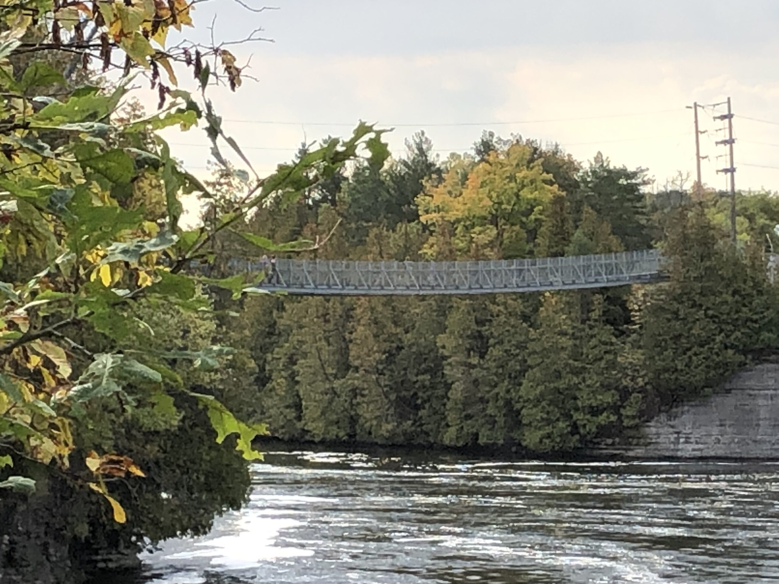
Trip Information Departure Time: 08:30 Return to City Time: 18:00 Departure Point: York Mills Bus Pickup Optional Items Hosting Club: Toronto Category: Bus Hike Location (Google Maps): Ferris Provincial Park Hike Leader(s): Celia Ho, Tom Swales Click here to contact Hike Leader(s) Pace: Moderate (3-4 km/hr) Terrain: Flat, Level 1 (Easy – mostly on flat, well maintained … Read more

Car Hike: Toronto Section End to End (1 of 4) CANCELLED

Hosting Club: Toronto Category: Cancelled Location (Google Maps): Bruce Trail Pear Tree Park – 15th Sideroad, 200m southwest of Regional Rd 25 (11.4k marker, Edition 31) Hike Leader(s): David Rowney Click here to contact Hike Leader(s) Pace: Moderate (3-4 km/hr) Terrain: Level 2 (Intermediate – some hills and uneven surfaces, rocks and roots underfoot), Variable Distance: 11.9k Description … Read more

Beaver Valley E2E 5/5

Hike open to BTC Members only. Hosting Club: Toronto Category: Car Hike Location (Google Maps): Km 117.3 grey Rd 12. Coordinates N 44.500537,W 80.632902 map 28. Please note that this parking is not marked on the map. It is marked on the Bruce Trail App. Hike Leader(s): Smadar Junkin Click here to contact Hike Leader(s) Pace: … Read more

Beaver Valley E2E 4/5

Hike open to BTC Members only. Hosting Club: Toronto Category: Car Hike Location (Google Maps): Same as day 3. Hike Leader(s): Smadar Junkin Click here to contact Hike Leader(s) Pace: Brisk (4-5 km/hr) Terrain: Challenging, Hilly, Level 3 (Advanced – steep hills and some scrambling over boulders) Distance: 21.5 kms Description Please look at hike 1 for the … Read more

Beaver Valley E2E 3/5

Hike open to BTC Members only. Hosting Club: Toronto Category: Car Hike Location (Google Maps): Graham Hill Rd 60 meters to the west of km 74.2. Coordinates N 44.333807,W 80.554916 map # 26. Hike Leader(s): Smadar Junkin Click here to contact Hike Leader(s) Pace: Brisk (4-5 km/hr) Terrain: Challenging, Hilly, Level 3 (Advanced – steep hills and … Read more