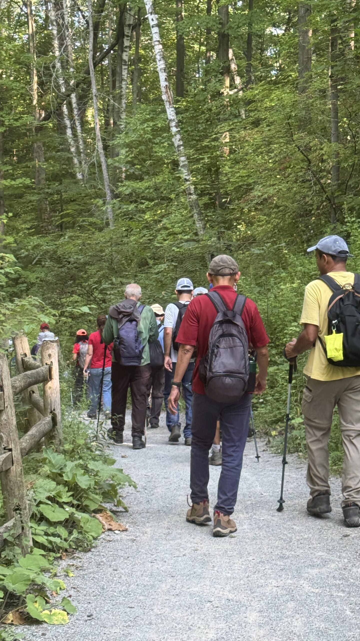
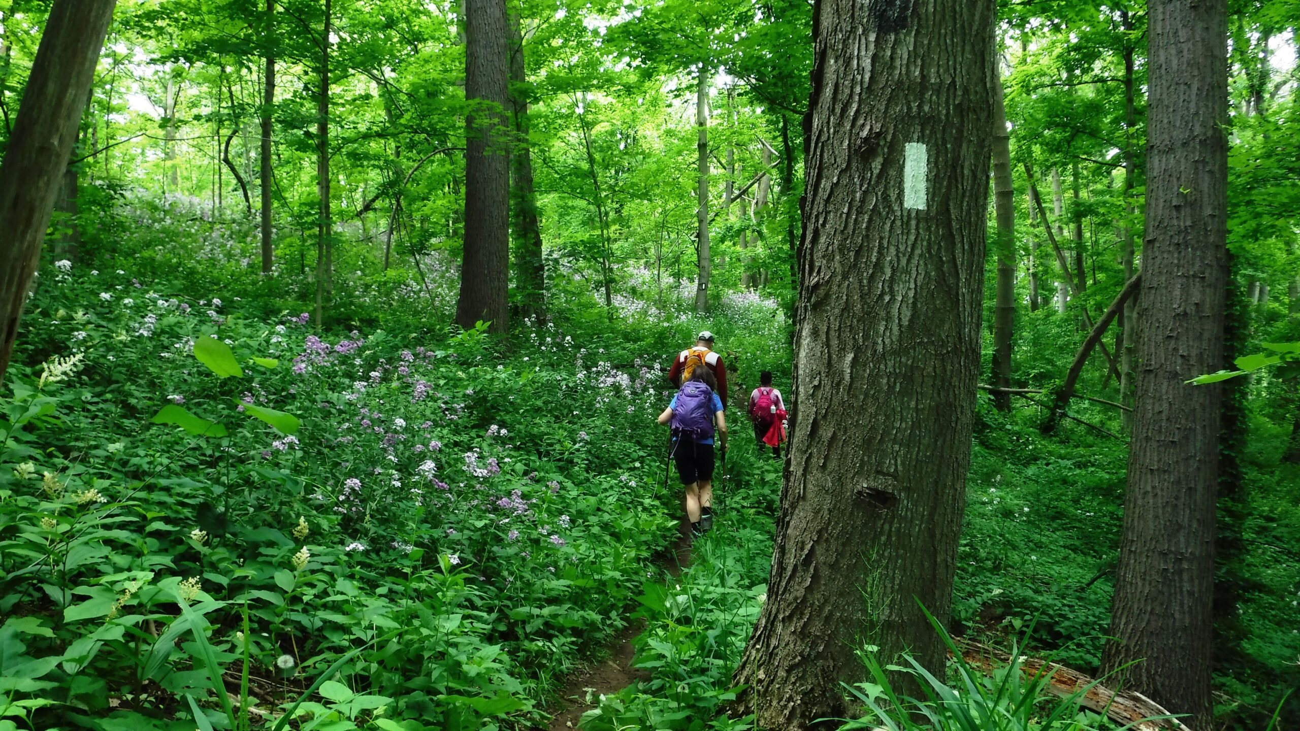
Urban Walk: Evergreen Brickworks/Mt. Pleasant Cemetery

Hosting Club: Toronto Category: Urban Walk Location (Google Maps): St. Clair subway station SOUTH Ticket collector booth at Pleasant Blvd. Hike Leader(s): Ray Berzins Click here to contact Hike Leader(s) Pace: Moderate (3-4 km/hr) Terrain: Hilly, Level 2 (Intermediate – some hills and uneven surfaces, rocks and roots underfoot) Distance: 8 km Description Hike starts & ends at … Read more

#2/5 Niagara Bruce Trail End-to-End – 16 KM

Hosting Club: Toronto Category: Car Hike Location (Google Maps): Parking lot at Glendale Ave & Welland Canal Hike Leader(s): Alina Lin Pace: Brisk (4-5 km/hr) Terrain: Challenging, Hilly, Level 2 (Intermediate – some hills and uneven surfaces, rocks and roots underfoot), Rocky, Variable Distance: 16 km Description The Niagara region is one of Canada’s most productive fruit-growing areas. … Read more

Car Hike: Boyd Conservation Park Vaughan

Hosting Club: Toronto Location (Google Maps): Free parking lot before main entrance of park Hike Leader(s): Mohammad Aghamiri Click here to contact Hike Leader(s) Pace: Moderate (3-4 km/hr) Terrain: Hilly, Level 2 (Intermediate – some hills and uneven surfaces, rocks and roots underfoot) Distance: 14-15 km Description Let’s hike Boyd conservation park trails through beautiful valleys. Please bring … Read more

School Bus Hike: Rama Powwow and the Ganaraska Trail

Trip Information Departure Time: 08:00 Return to City Time: 19:00 Departure Point: York Mills Bus Pickup Optional Items Hosting Club: Toronto Category: Bus Hike Location (Google Maps): Orillia Hike Leader(s): Nijole Mockevicius, George Lennon Click here to contact Hike Leader(s) Pace: Leisurely (2-3 km/hr) Terrain: Level 1 (Easy – mostly on flat, well maintained trails with hard-packed … Read more