Car Hike: Jefferson Forest and Bond Lake (Richmond Hill)
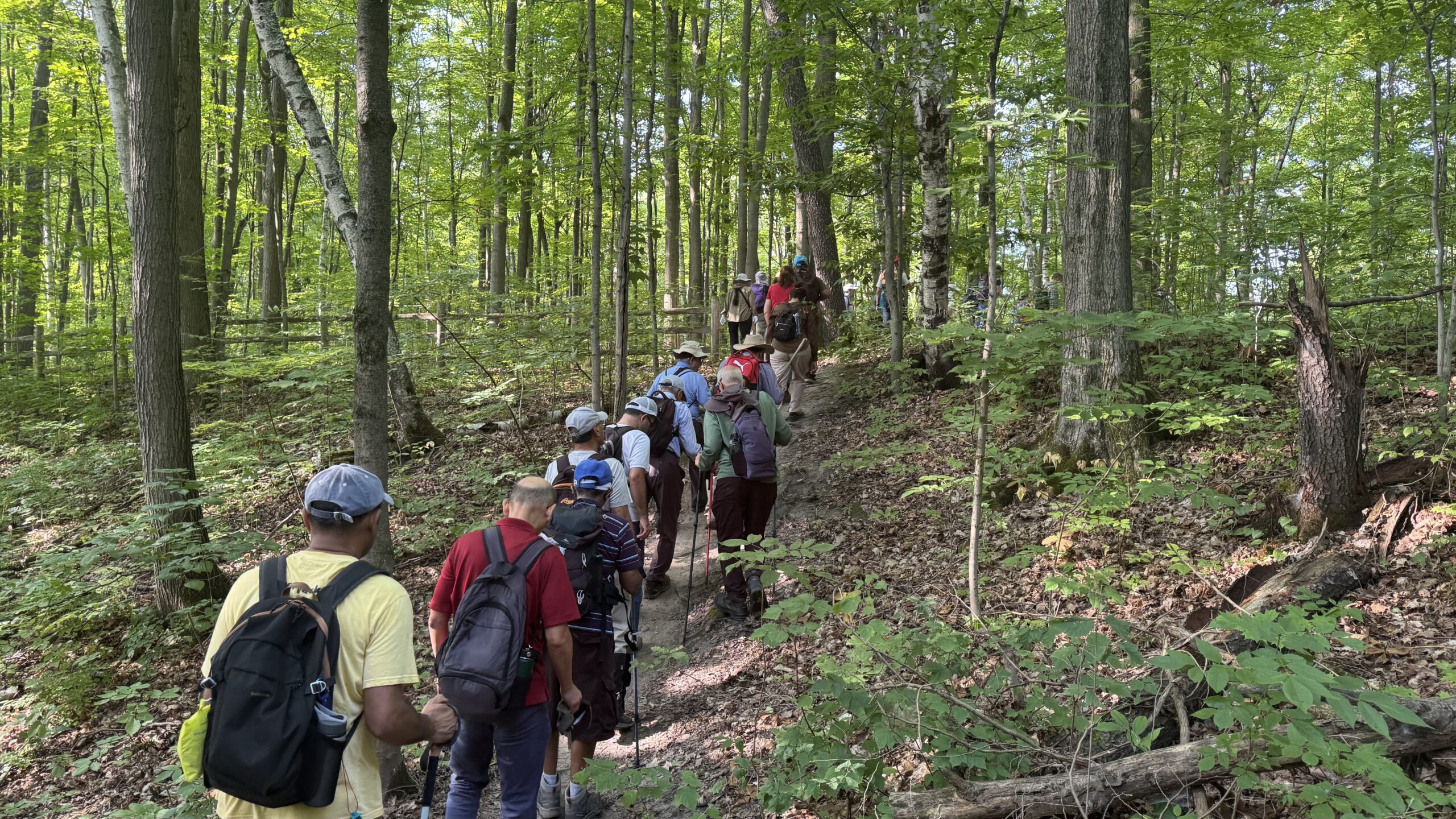
Hosting Club: Toronto Category: Car Hike Location (Google Maps): 1245 Bethesda Side Rd, Richmond Hill, ON L4E 1A2 ( Bethesda Trail Head Parking lot) Hike Leader(s): Amir Alemohammad Click here to contact Hike Leader(s) Pace: Moderate (3-4 km/hr) Terrain: Flat, Hilly, Level 2 (Intermediate – some hills and uneven surfaces, rocks and roots underfoot), Variable Distance: 13-14 km … Read more
Car Hike: #7/7 Iroquoia Bruce Trail End-to-End -19 KM

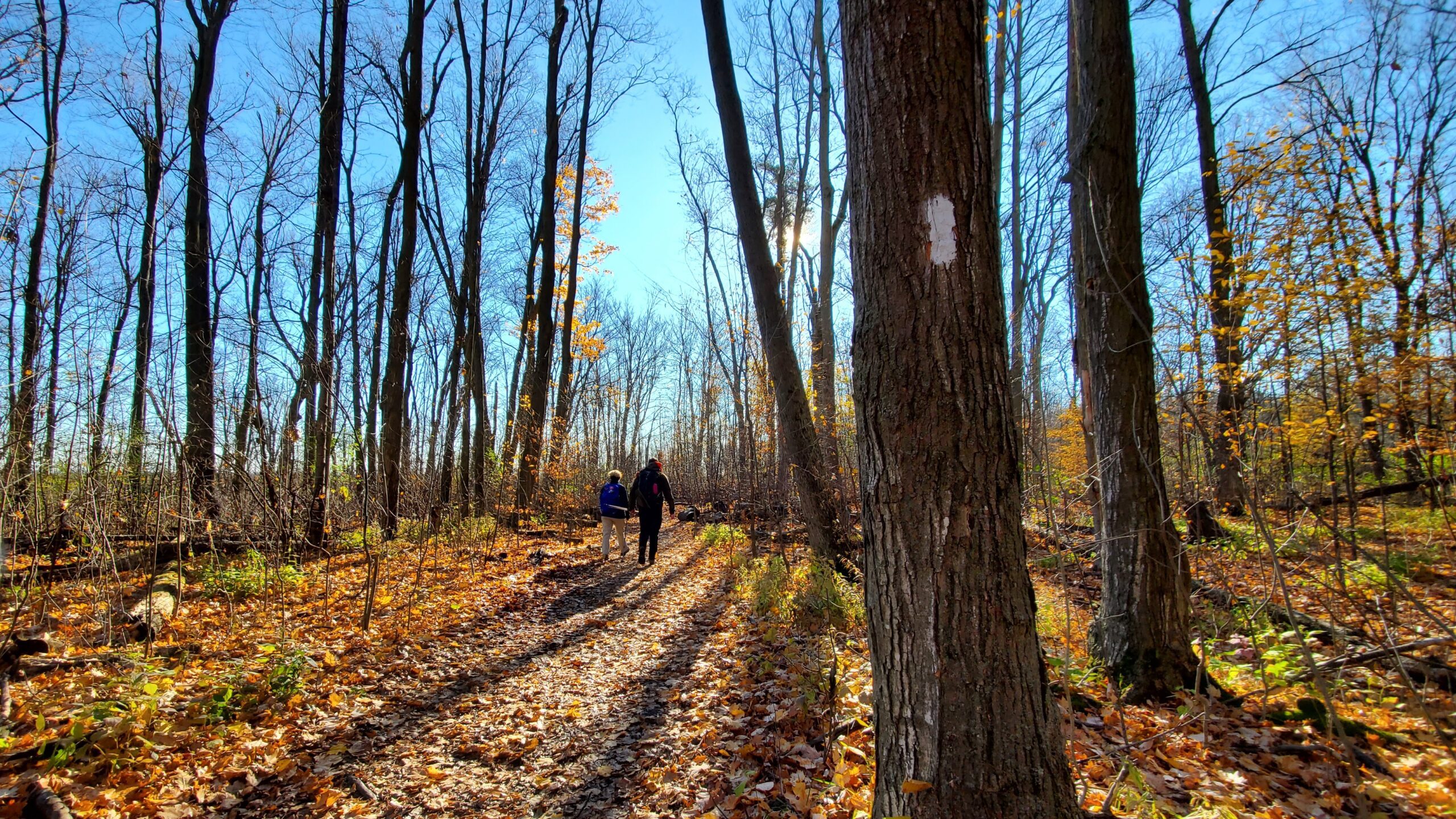
Hosting Club: Toronto Category: Car Hike Location (Google Maps): 103.8KM Roadside Parking on Twiss Rd. Hike Leader(s): Alina Lin Pace: Brisk (4-5 km/hr) Terrain: Challenging, Flat, Hilly, Level 2 (Intermediate – some hills and uneven surfaces, rocks and roots underfoot), Rocky, Variable Distance: 19 km Description It’s the end of the fall colors, but it’s still lovely to … Read more

School Bus Hike: Iroquoia E2E (4/8)

Trip Information Departure Time: 08:30 Return to City Time: 18:00 Departure Point: Kipling Departure Point Optional Items Hosting Club: Toronto Category: Bus Hike Location (Google Maps): Hamilton (Map 7/8 – km 29.5 to km 45.2) Hike Leader(s): Tom Swales, Robin Crombie Click here to contact Hike Leader(s) Pace: Moderate (3-4 km/hr) Terrain: Hilly, Level 2 (Intermediate – … Read more

Car Hike: Wilder Forest Uxbridge

Hosting Club: Toronto Category: Car Hike Location (Google Maps): Parking Lot off Brock road beside horse training building Hike Leader(s): Mohammad Aghamiri Click here to contact Hike Leader(s) Pace: Moderate (3-4 km/hr) Terrain: Hilly, Level 2 (Intermediate – some hills and uneven surfaces, rocks and roots underfoot), Variable Distance: 14-15 km Description Let’s explore beautiful sceneries of Uxbridge … Read more