Sydenham E2E in 8 Hike #3

Hosting Club: Blue Mountains, Sydenham Category: End-to-End Location (Google Maps): Irish Block Rd 450m north of Hwy 26. Hike Leader(s): Rob Johnston Click here to contact Hike Leader(s) Pace: Brisk – 4 to 5 km/hr Terrain: Moderate – Some hills and/or some poor footing Distance: 22.9 Description Sydenham Hike 3 of 8: Woodford to Irish Block Rd. Distance: … Read more
WINS – Skinner’s Woods

Hosting Club: Sydenham Category: Walk In Nature Series (WINS) Location (Google Maps): Click the (Google Maps) link on the left to direct you to parking. GPS coordinates: 44.77675, -81.03972. Park at the curve on Gleason Lake Road, 2.0 km north of Concession Rd 24. Find these trails on the Bruce Trail app or in the … Read more

Shorter Side Trail Badge Hike – Walter’s Fall

Hosting Club: Sydenham Category: General Hike Location (Google Maps): We will carpool from 2888 3rd Ave. W., Owen Sound Hike Leader(s): Bill Snel Click here to contact Hike Leader(s) Pace: Leisurely: 3 km/h or less Terrain: Moderate: Some hills and/or poor footing Distance: 2.4 km Description We will carpool from Owen Sound to do a loop hike of … Read more

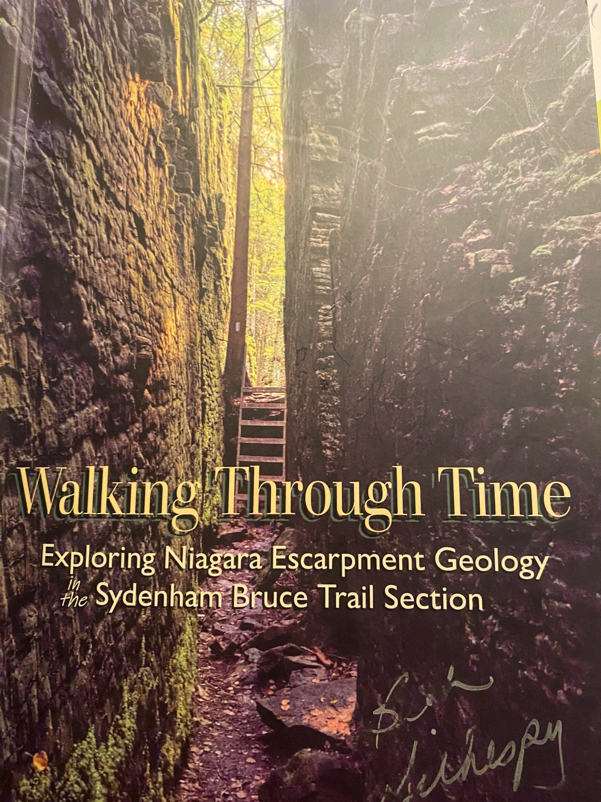
Geology Hike #10 Savage Wells loop

Hosting Club: Sydenham Category: Geology Hike Location (Google Maps): Meet and park at the gravel parking area at “Ben Allen” at the intersection of Grey Road 17 and Gordon Sutherland Parkway. We will carpool and drive a short distance north to the trailhead. Hike Leader(s): Carol Graham-Mullin Click here to contact Hike Leader(s) Pace: Leisurely: 3 … Read more

NEW DATE: Salmon Run Followed by an Opportunity for Lunch at the Inn

Hosting Club: Sydenham Category: Health & Nature Hike Location (Google Maps): Harrison Park – NW of km 89.0. Beside the resturant but closer to the bridge Hike Leader(s): Sheri Hatcher Click here to contact Hike Leader(s) Pace: Brisk: 4 to 5 km/h Terrain: Moderate: Some hills and/or poor footing Distance: Approx 10 km Description We will meet at … Read more