Hockley Valley, Map 18

Hosting Club: Caledon Hills Category: Tuesday Hikers Location (Google Maps): Meet at Hockley Road parking lot, north of Hockley Rd. and east of 2nd Line EHS. DIRECTION: Go on Highway 410 north, this becomes Highway 10 north. After passing through Orangeville turn right on Hockley Road (7), drive about 5 km, shortly after passing 2nd … Read more
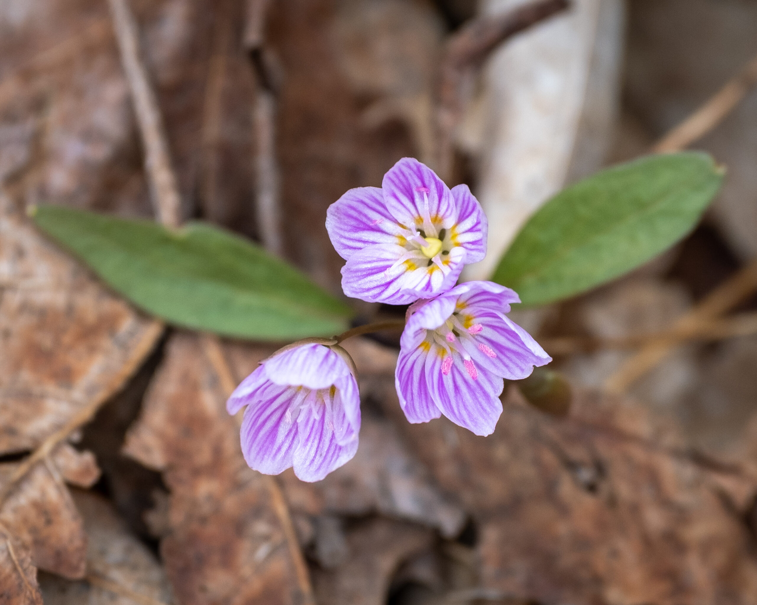
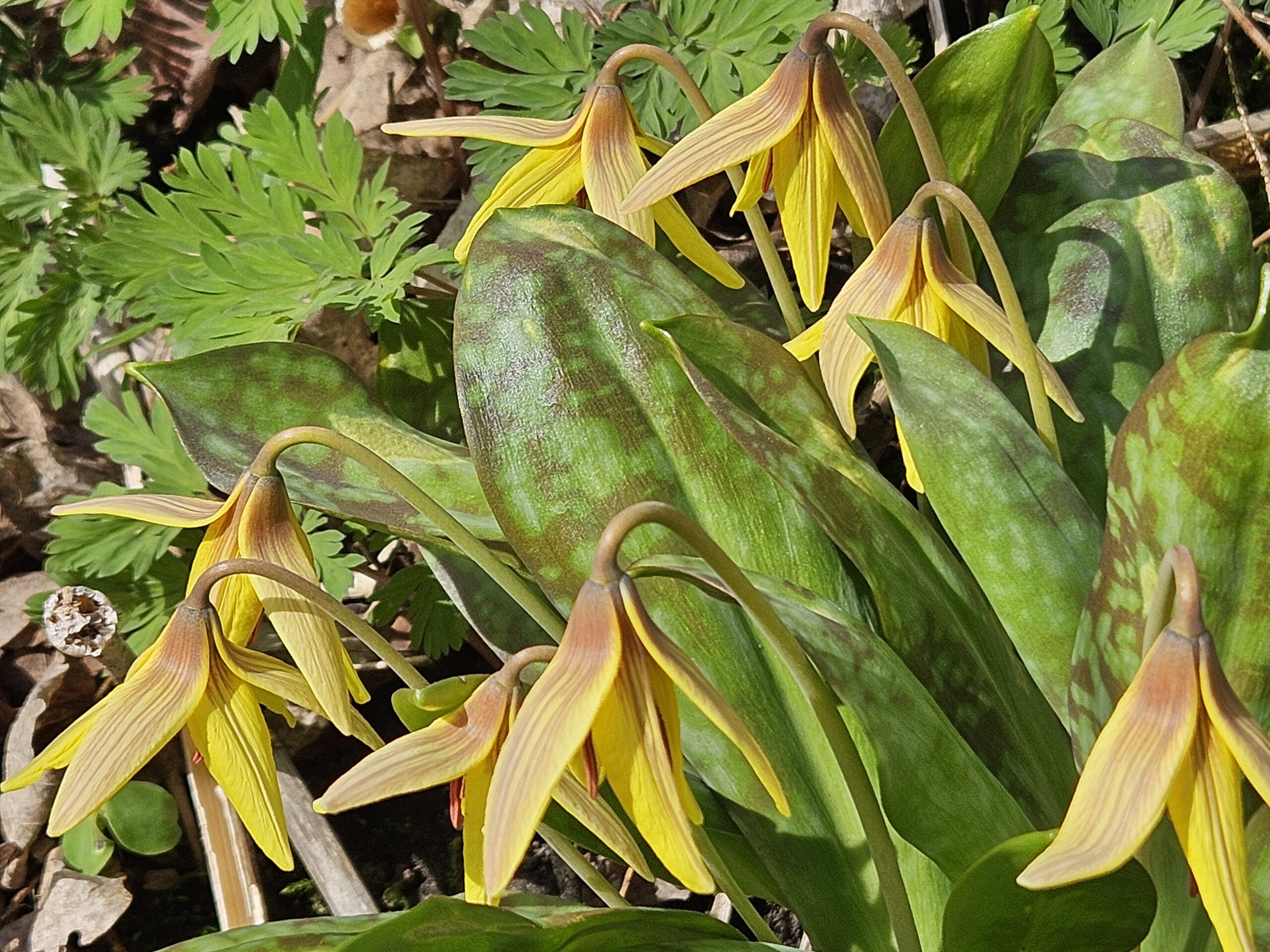
New Hikers Nature Walk

Hosting Club: Caledon Hills Category: Nature Walks Location (Google Maps): Location: Meet at roadside parking at the dead end of Boston Mills Rd., about 400 m west of Mississauga Rd. Note: please do not block the private driveway. Directions: From Hwy 10 take Boston Mills Rd. 6 km west to the dead end just west … Read more

Glen Haffy

Hosting Club: Caledon Hills Category: General Location (Google Maps): Meet at the roadside parking on Coolihans Sideroad, km 35.0 Map 17, near where the Trail crosses the road. This is just west of the intersection of Glen Haffy Road and Coolihans Sideroad (even though the GPS coordinates are showing just to the east). It is … Read more

Hockley Valley, Map 18 – HIKE CANCELED

Hosting Club: Caledon Hills Category: Tuesday Hikers Location (Google Maps): Meet at Hockley Road parking lot, north of Hockley Rd. and east of 2nd Line EHS. DIRECTION: Go on Highway 410 north, this becomes Highway 10 north. After passing through Orangeville turn right on Hockley Road (7), drive about 5 km, shortly after passing 2nd … Read more

Devil’s Pulpit – Forks of the Credit

Hosting Club: Toronto, Caledon Hills Category: Car Hike Location (Google Maps): Devil’s Pulpit – Meet at roadside parking, km 6.6 on the east side of Creditview Road immediately north of Grange Sideroad. 43.791491, -79.975229. Map 14 Edition 30. Please arrive fifteen minutes early. Hike Leader(s): Ross Estrella Click here to contact Hike Leader(s) Pace: Brisk (4-5 … Read more