
Saturday Shorts: Hockley Valley Provincial Nature Reserve
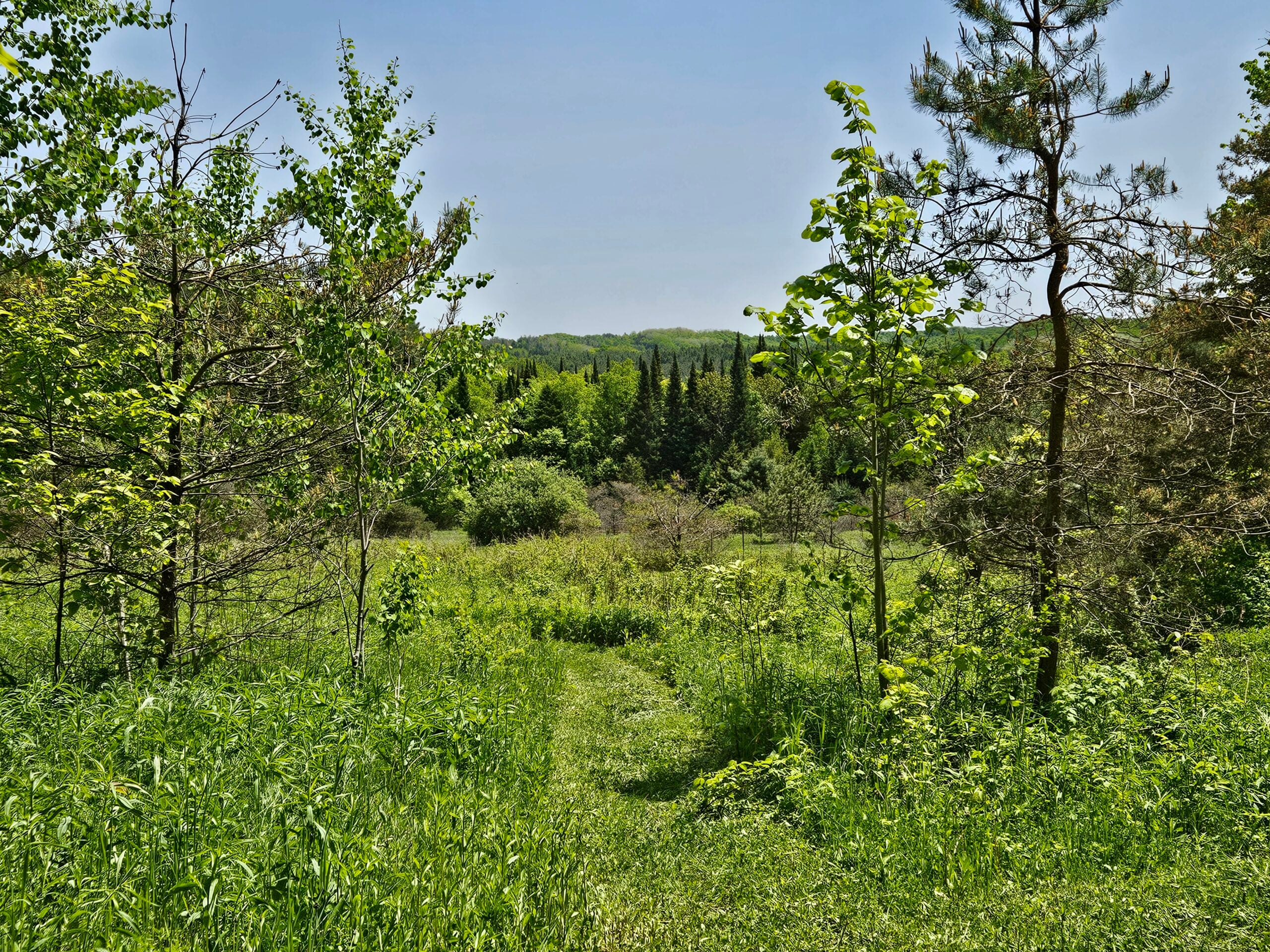
Hosting Club: Caledon Hills Category: General Location (Google Maps): Meet at 8 am at the parking area (10 cars) on 3rd Line, north of Hockley Road. (Note: We are not meeting at the main parking area on Hockley Road. Go north on 3rd Line. The parking area is on the east side of the road.) … Read more
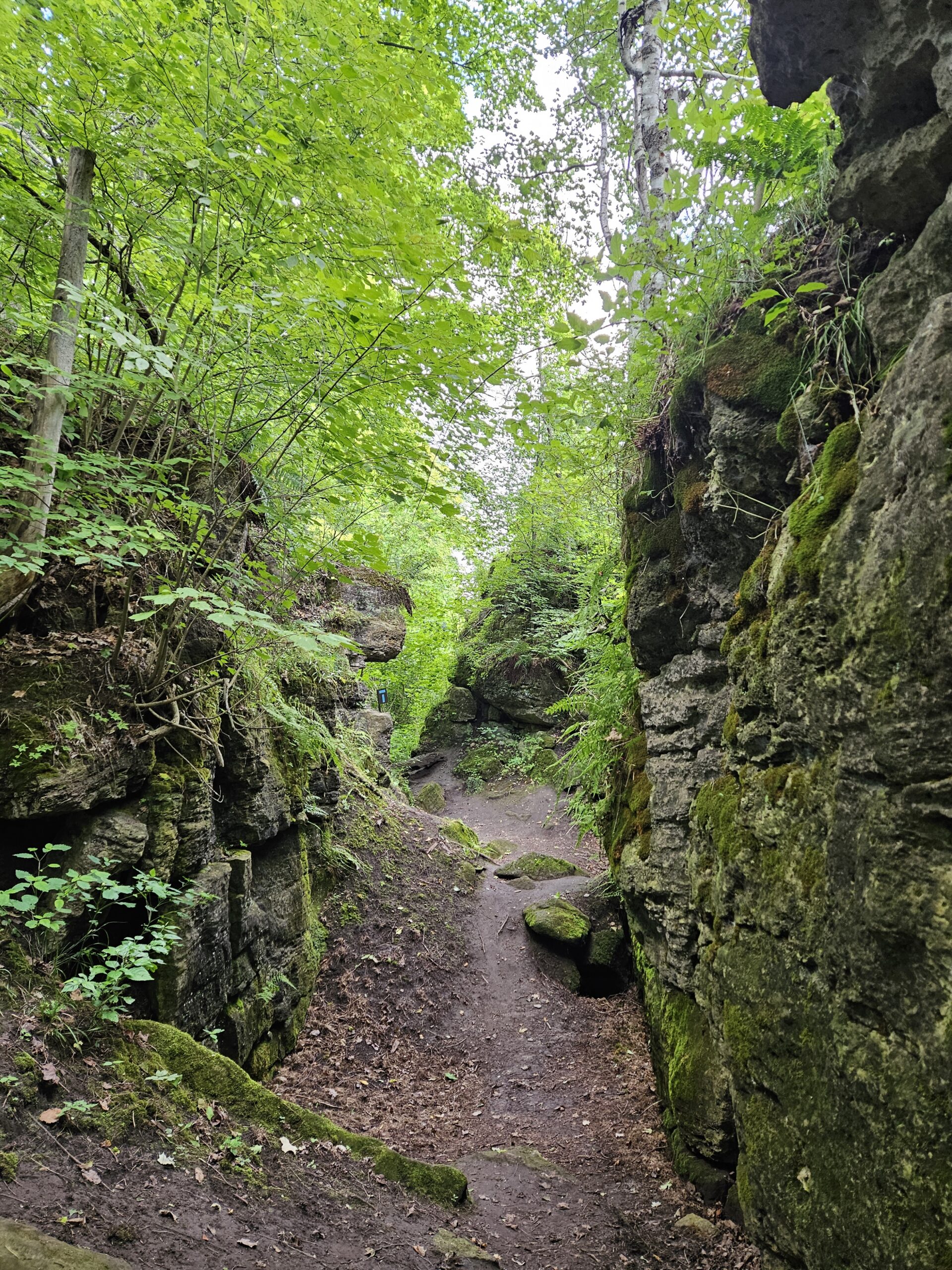
Walk and Talk Rocks: Splitrock Narrows

Hosting Club: Caledon Hills Category: General Location (Google Maps): Meet at the BTC parking area (20 cars) northeast of km 8.9 in the Dufferin section off of 2nd Line EHS at the beginning of the Splitrock Side Trail. The lot is north of 25 Sideroad. This hike is just north of Mono Cliffs Provincial Park. … Read more

Car Hike: Mono Cliffs Provincial Park

Hosting Club: Caledon Hills Category: General Location (Google Maps): Mono Cliffs Provincial Park, Map 19. To reach the meeting place, drive north on Hwy 10 past Orangeville. Continue to Mono Centre Road (crossroad name is Camilla). Turn right and follow this road into Mono Centre. The Community Centre parking lot is on your right, about … Read more

Boston Mills / Terra Cotta

Hosting Club: Caledon Hills Category: Tuesday Hikers Location (Google Maps): Parking at Boston Mills Rd., west of its intersection with Mississauga Rd. See Map 14. Driving directions: From Highway 410 north, continue on Highway 10, left on King Street, right on Mississauga Rd., left on Boston Mills Rd. to the parking at dead end. Hike … Read more

Car Hike: Boyne Valley Provincial Park!

Hosting Club: Caledon Hills Category: General Location (Google Maps): Boyne Valley Provincial Park, Map 20 of the BTC Trail Guide. County Rd. 19 (Prince of Wales Rd.) Parking Area – west of km 15.2 – approximately 80 metres south of the Prince of Wales Side Trail. Hike Leader(s): Dylan “Lana” Hubbard Click here to contact Hike … Read more