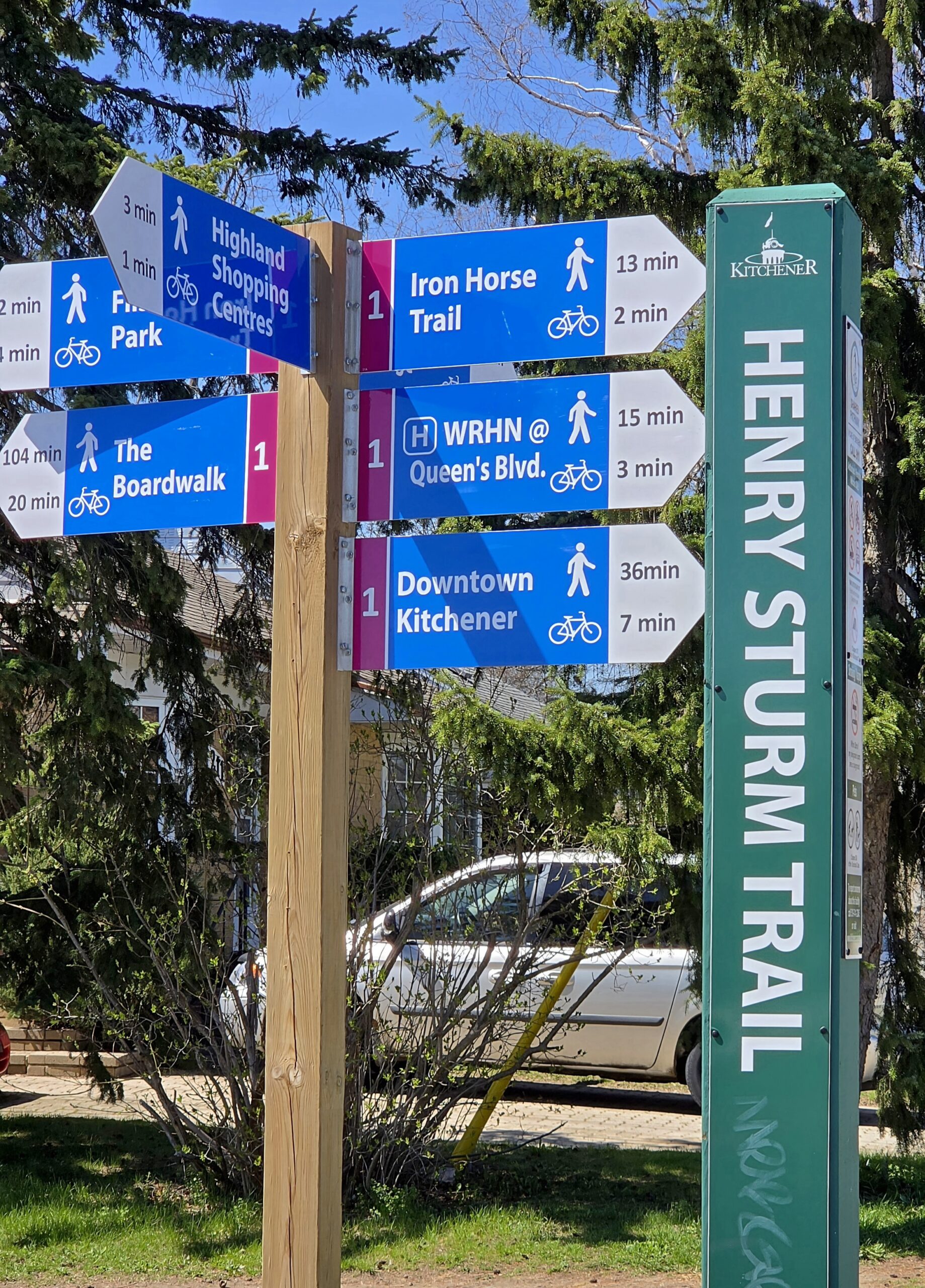
Waterloo Region Wednesday Wayfairers

Hosting Club: Caledon Hills Category: General Location (Google Maps): Meet at The Beer Store, 875 Highland Rd. W., (Highland Rd. and Fischer-Hallman Rd.) Hike Leader(s): Dan Patterson Click here to contact Hike Leader(s) Pace: Medium – 3 to 4 km/hour Terrain: Easy – mostly flat and usually good footing Distance: 10 km Description Meet at 8:45 a.m. and … Read more
Car HIke: Dog-Friendly Caledon side trail hikes

Hosting Club: Toronto, Caledon Hills Category: Car Hike Location (Google Maps): Hockley Valley South Hike Leader(s): Lindita Kalo Click here to contact Hike Leader(s) Pace: Mixed (See Hike Description), Moderate (3-4 km/hr) Terrain: Challenging, Level 3 (Advanced – steep hills and some scrambling over boulders), Variable Distance (km): 20km, Optional dropout at 10km Description Join me on the … Read more

Caledon Hills E2E in 4 – Hike #1

This is a Multi-Day Hike You are signing up for the following dates and times: Hosting Club: Caledon Hills Category: End-to-End Location (Google Maps): Meet at Mono Community Centre, 754463 Mono Centre Rd., Mono, ON L9W 5W9, Canada Hike Leader(s): Dan Patterson Click here to contact Hike Leader(s) Pace: Medium – 3 to 4 km/hour Terrain: Strenuous … Read more

Saturday Shorts

Hosting Club: Caledon Hills Category: Nature Walks Location (Google Maps): BTC Reference Guide, Map 12. Meet at parking lot on the south side of 22nd Sideroad, across from the school, and north of km 21.6. Hike Leader(s): Janice McClelland Click here to contact Hike Leader(s) Pace: Leisurely – 3 km/hour or less Terrain: Moderate – some hills … Read more

Car Hike: Scotsdale Farm

Hosting Club: Caledon Hills Category: General Location (Google Maps): Scotsdale Farm, Map 13. Directions; from Highway 401, head north on Trafalgar Road past Georgetown. Trafalgar briefly merges with Highway 7 for about 3 km before separating to the right at the village of Silver Creek. At the stop light in Silver Creek, continue north on … Read more