
Car Hike: Duncan Crevice Caves , Pinnacle and Metcalf Rocks
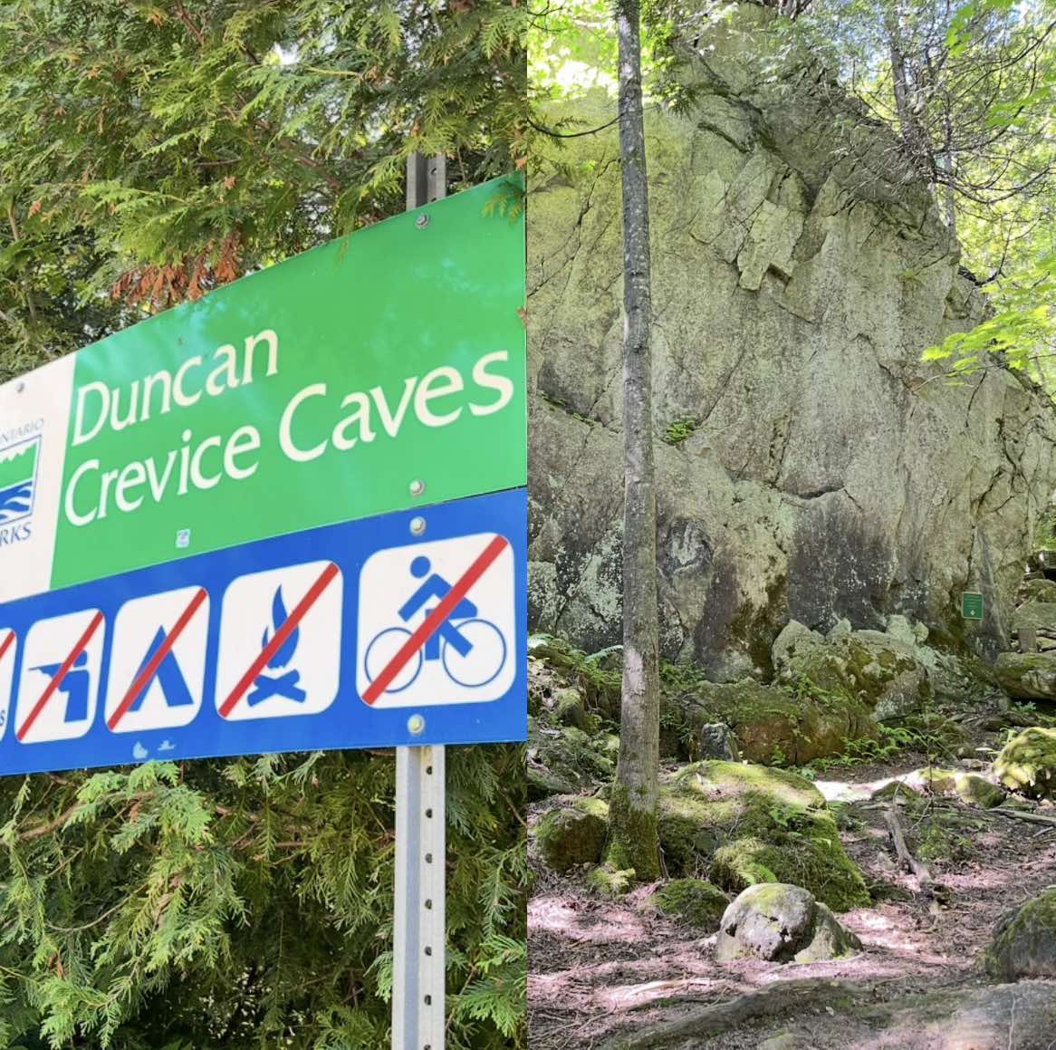
Hosting Club: Toronto, Beaver Valley Category: Car Hike Location (Google Maps): Duncan Crevice Caves Provincial Nature Reserve parking lot on the edge of 9th Sideroad east of Blue Mountain-Euphrasia Townline. GPS N44.423216, W80.469565. Km33.3, map25, edition31. Hike Leader(s): Mr Ross Click here to contact Hike Leader(s) Pace: Brisk (4-5 km/hr), Moderate (3-4 km/hr) Terrain: Challenging, Level 2 … Read more

WEDNESDAY WALKERS – Old Baldy

Hosting Club: Beaver Valley Location (Google Maps): Our hike will begin from the parking lot of Old Baldy. km 43.9, Map 25, Edition 31. Any hike participants who do not have a parking pass for Grey Sauble CA can park on the shoulder of Sideroad 7B by the bend in the road and then be … Read more

Sunny Sundays – Talisman to Epping

Hosting Club: Beaver Valley Location (Google Maps): Meet in the Epping/John Muir Lookout on Grey Road 7, km 94.3, Map 27, Edition 31, check Google Maps in hike listing for coordinates. We will shuttle to Sideroad 7A, Talisman. Hike Leader(s): Glenda Collings Click here to contact the hike leader. Pace: Medium Terrain: Moderate, Some rocky footing, Some … Read more

WEDNESDAY WALKERS – Fox Ridge

Hosting Club: Beaver Valley Location (Google Maps): Meet at the end of Fox Ridge Road where there is official parking, km 39.3 Map 25, Edition 31. We will take a couple vehicles to the start of our hike at Km 37.9 on Fox Ridge Road. Hike Leader(s): Margaret Yaraskavitch Click here to contact the hike leader. … Read more

Kimberly Forest S.T. / Bill’s Creek

Hosting Club: Beaver Valley Location (Google Maps): Meet on the deck of the Beaver Valley Ski Club clubhouse. The address is 100 Pioneer Drive, Markdale. Enter the ski club property at the gates on Grey Road 30. Coordinates 44.357747 -80.544822 Hike Leader(s): Marg Parkin Click here to contact the hike leader. Pace: Leisurely Terrain: Moderate Length of … Read more