- HikeType Cancelled
- HikeIcon https://hikes.brucetrail.org/wp-content/uploads/formidable/7/cancelled-1.png
- PaceTypes Brisk
- TerrainTypes ,Dependent on Conditions,Moderate,Slippery Sections Likely
- PaidOuting No
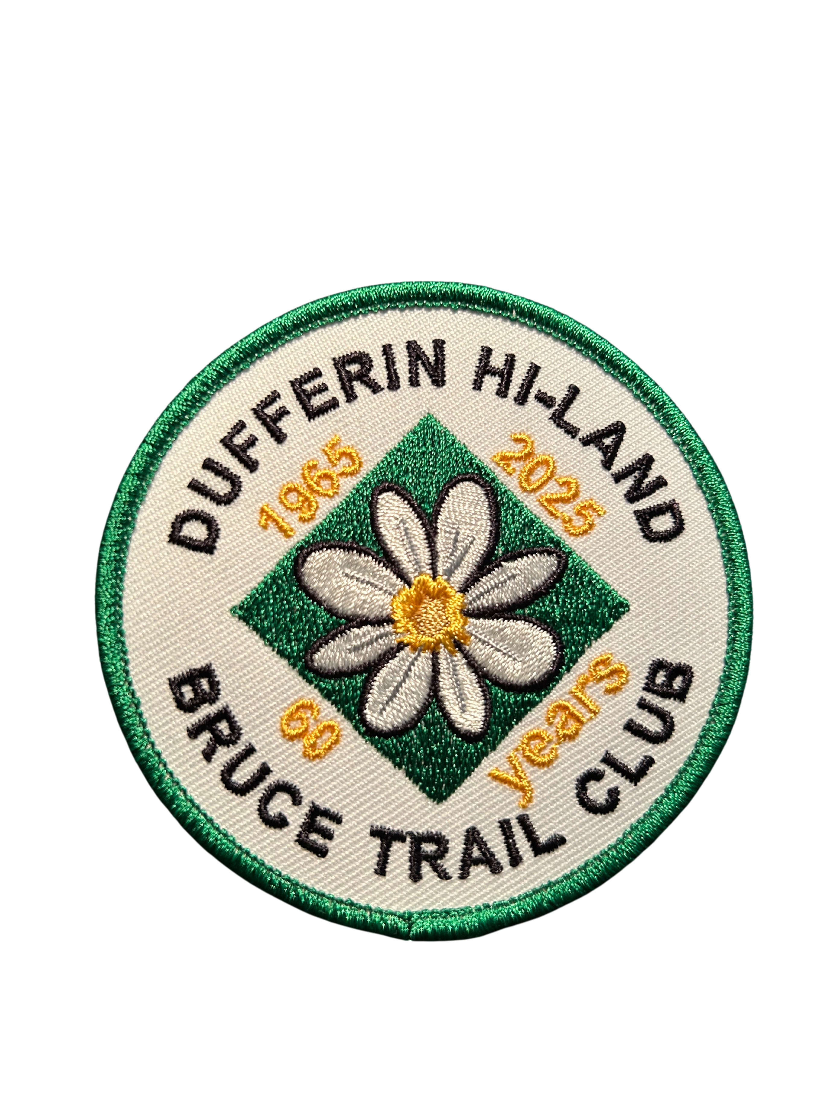
Hosting Club: Dufferin Hi-Land
Category: Cancelled
Location (Google Maps): Park at roadside parking on north side of bridge over Boyne River on Prince of Wales Rd (Dufferin Rd 19) 1.2 km north of Hwy 89
Hike Leader(s): su Bate, Carol Foley Click here to contact Hike Leader(s)
Pace: Brisk
Terrain: Dependent on Conditions, Moderate, Slippery Sections Likely
Distance: 12 kms
Description
This is the 4th in a series of 6 loop hikes; each hike is between 9-12km in length. If you hike all 6 of the hikes in this series, or otherwise hike 60 km in Dufferin during 2025, you qualify for the 60th Anniversary badge.
Bring a drink and a snack, ICERS for your feet because the trail can be slippery, muddy and icy at this time of the year. Dress for the weather!Follow Prince of Wales Side Trail north to Primrose Loop Side Trail. Take the left fork and follow Primrose Loop to intersection with Bruce Main Trail at km 16.7. We will take the Main Trail north, including a side trip up the Murphy’s Pinnacle Side Trail, then east to Boyne Valley Side Trail (km 18.8). Follow Boyne Valley east to 1st Line, south then west to Bruce Main Trail at km 15.2. Follow Main Trail north to km 16.7, then Primrose Loop, taking left fork where the loop begins, returning to parking via Prince of Wales Side Trail.