Join us for a hike! Registration required:
All hikes available to BTC members. Some hikes are open to non-members.
TIP: The calendar view displays up to 7 hikes on a day, but often there are more. Click “More events” to see them all.
Toronto Hike Schedule
Toronto Bruce Trail Club Registration Live Dates
Day Winter Coach Program
Registration begins two weeks in advance of the event departure (at 8:00 PM)
Day Bus Hikes
Registration begins two weeks in advance of the event departure (at 8:00 PM) with some exceptions of special event hikes
Day Coach Hikes
Registration begins 7 weeks in advance of the event departure
Day Car Hikes and Urban Hikes
Registration begins two weeks in advance of the event departure
Overnight and Weekend Trips
Registration begins 12 weeks in advance of the event departure
To view all Bruce Trail Conservancy Hikes click here
- 17January 17, 2026
School Bus Hike Toronto Section Winter Badge End to End #2 of 6
https://hikes.brucetrail.org/event/school-bus-hike-toronto-section-winter-badge-end-to-end-2-of-6/Sorry, the registration cut-off time for this hike has been reached.Not a member? Click here to join today!Trip Information
Departure Time: 08:30
Return to City Time: 18:00
Departure Point: York Mills Bus PickupOptional Items
Hosting Club: Toronto
Category: Bus Hike
Location (Google Maps): Toronto Section, Scotch Block/Speyside Resource Management AreaHike Leader(s): George Lennon; Fayyaz Mahmood Click here to contact Hike Leader(s)
Pace: Leisurely (2-3 km/hr)
Terrain: Challenging, Level 2 (Intermediate – some hills and uneven surfaces, rocks and roots underfoot), Variable
Distance (km): 8.3 kmDescription
We will be hiking in winter conditions of ice and snow so these will be slower and shorter hikes than in other seasons. Icers or snowshoes are mandatory, and gaiters and poles recommended. The terrain is not too hilly, but the footing is treacherous in winter with many uneven, rocky sections to navigate. The leaders will let registrants know in advance if snowshoes are feasible for the day. Please bring at least 2L of water, snacks, and your lunch. Any hikers are welcome to join the hikes regardless of whether a person is working towards a badge. Those who complete all 6 hikes will qualify for the Toronto club’s Winter E2E badge. The fee is $10 per badge ($15 for non-members) and will be collected by the hike leader on trip #4. Or you may choose to purchase the special stained glass Fundraising End to End badge for $30.The second hike of our E2E series goes from Scotch Block though the Speyside Resource Management Area to the Fourth Line Parking Lot There will be a refreshment/social stop in Milton after the hike before returning to the York Mills Station departure point by 6:00 PM.
Car Hike: Boyd Conservation Park Vaughan
https://hikes.brucetrail.org/event/car-hike-boyd-conservation-park-vaughan-11/Sorry, the registration cut-off time for this hike has been reached.Not a member? Click here to join today!Hosting Club: Toronto
Category: Car Hike
Location (Google Maps): parking lot before entrance of park on Islington Ave.Hike Leader(s): Mohammad Aghamiri Click here to contact Hike Leader(s)
Pace: Moderate (3-4 km/hr)
Terrain: Hilly, Level 2 (Intermediate – some hills and uneven surfaces, rocks and roots underfoot), Variable
Distance (km): 14-15 kmDescription
Let’s hike Boyd conservation park trails through beautiful valleys.Please bring lots of water and snacks ,hiking poles are recommended
Please bring lots of water and snacks ,hiking poles are recommended
phone number for the day of hike 289 588 6482
Car Hike: Caledon Hills E2E #5 of 6
https://hikes.brucetrail.org/event/car-hike-caledon-hills-btc-e2e-5-of-6/Sorry, the registration cut-off time for this hike has been reached.Not a member? Click here to join today!Hosting Club: Toronto, Caledon Hills
Category: Car Hike
Location (Google Maps):Meet at GPS N43.972857, W80.056330 at Hockley Road parking lot on the north side of Hockley Road.
Hike Leader(s): Ross Estrella Click here to contact Hike Leader(s)
Pace: Brisk (4-5 km/hr), Moderate (3-4 km/hr)
Terrain: Challenging, Hilly, Level 2 (Intermediate – some hills and uneven surfaces, rocks and roots underfoot), Variable
Distance (km): 10kmDescription
This is an End2End hiking series to cover the Caledon Hills section of the Bruce Trail in 6 hikes. As it is time of year with unsettled weather we will undertake this event at approximately 4 km/hour. Caledon Hills have numerous steep hills and deep valleys so the hikes require consistent stamina. Please consider your hiking fitness level prior to registering as this is a group hike and everyone is expected to keep pace. We will be travelling south to north and will require car shuttling. Please make sure yourself and car shuttle ready, where everyone is expected to participate. Please arrive fifteen minutes early for shuttling schedule. Things to bring: lunch/snacks, liquid hydration, sunscreen, layered clothing, personal medication (if any) health card. Hiking boots, icers, gaiters and hiking poles are highly recommended. This series hikes must be completed to receive the CHBTC E2E and Winter E2E. Don’t forget to bring your happy face and enthusiasm.NOTE: Cost of Badge is 10 dollars for BTC members and 15 dollars for Non BTC members. If you want to receive two CHBTC E2E badges, the Club E2E and Winter E2E badge there’s an additional 10 dollars for BTC members and 15 dollars for Non BTC members.
Urban Walk - Toronto Urban Badge Hike - 1 of 7
https://hikes.brucetrail.org/event/urban-walk-toronto-urban-badge-hike-1-of-7-3/Sorry, the registration cut-off time for this hike has been reached.Not a member? Click here to join today!Hosting Club: Toronto
Category: Urban Walk
Location (Google Maps):Humber Recreational Trail
Hike Leader(s): Brian Rideout Click here to contact Hike Leader(s)
Pace: Moderate (3-4 km/hr)
Terrain: Flat, Level 2 (Intermediate – some hills and uneven surfaces, rocks and roots underfoot)
Distance (km): 11 kmDescription
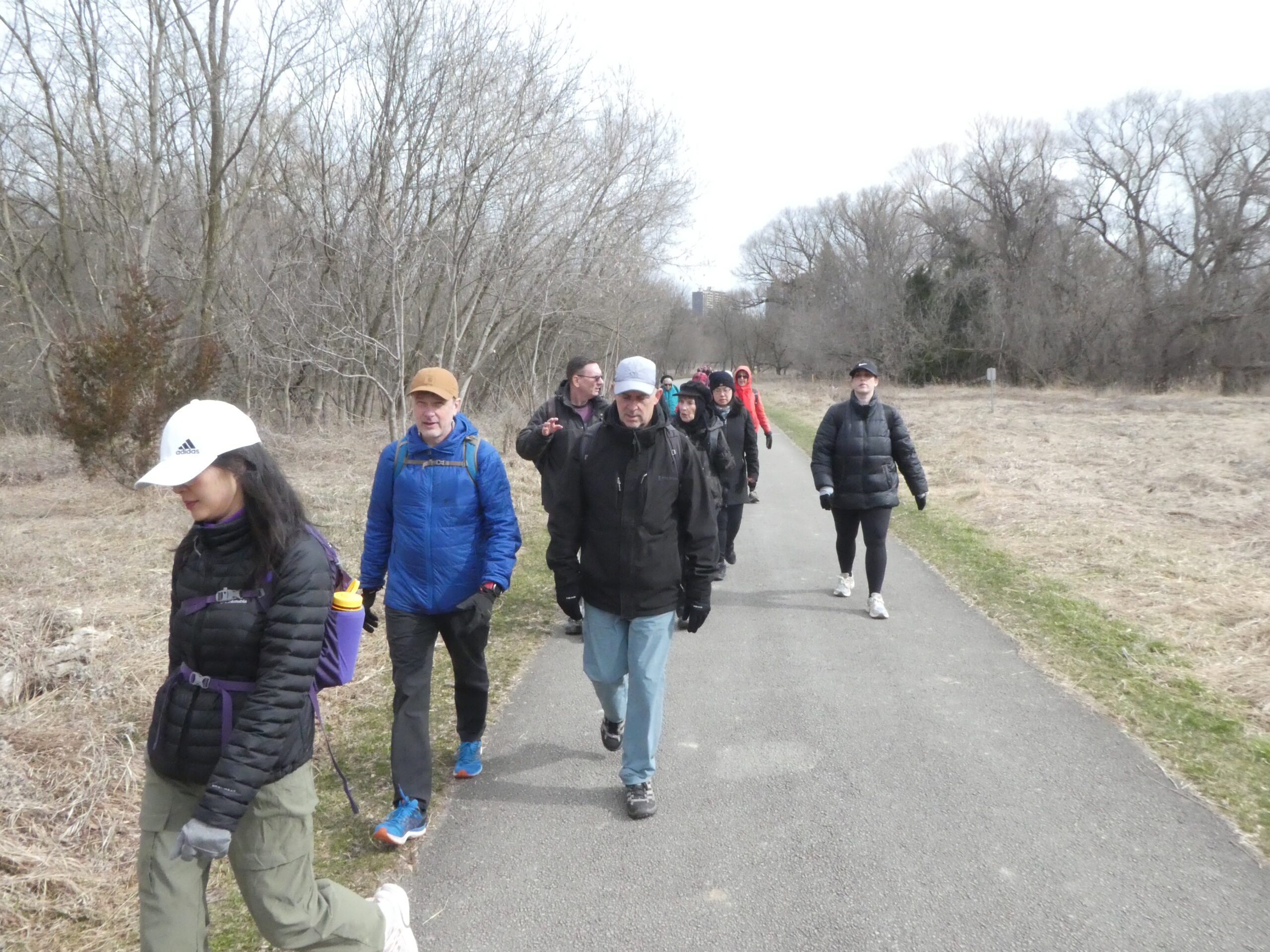
Please join me at the south west corner of Finch and Weston by 10 AM. We will hike south on the Humber Recreational Trail to Scarlet and Eglinton (km 30.2 to km 19.2). Here is an online map with km markings of our route for all 7 hikes for the Toronto Urban Badge: https://onthegomap.com/s/c2c1hf3nPlease make sure you bring at least 2 liters of water, a lunch, and icers.
Urban Walk; Cedarvale Park/Kay Gardner Beltline Trail
https://hikes.brucetrail.org/event/urban-walk-cedarvale-park-kay-gardner-beltline-trail/Sorry, the registration cut-off time for this hike has been reached.Not a member? Click here to join today!Hosting Club: Toronto
Category: Urban Walk
Location (Google Maps): SW Corner, 2nd Floor Loblaws, 396 St. Clair Ave West, TorontoHike Leader(s): Ray Berzins Click here to contact Hike Leader(s)
Pace: Moderate (3-4 km/hr)
Terrain: Flat, Level 1 (Easy – mostly on flat, well maintained trails with hard-packed surface)
Distance: 8 kmDescription
A short Saturday morning hike from St. Clair West subway station to St. Clair subway station on Yonge Street. We shall meet one floor above the Starbucks inside Loblaws, 396 St. Clair West, Toronto. The Loblaws store is immediately above St. Clair West subway station. Use the Loblaws store entance at the traffic light on St. Clair Avenue. Just inside store entrance on left is elevator to second floor where we shall meet. We shall walk North through Cedarvale Park to Kay Gardner Beltline Trail, then East to Yonge Street, then South through Mount Pleasant Cemetery to St. Clair subway station.Difficulty Level: 1 (Easy)
Bring something along to drink. Lunch available in one of the shops at Yonge & St. Clair.
On day of hike check your emails at 8 AM to verify hike status.