Join us for a hike! Registration required:
All hikes available to BTC members. Some hikes are open to non-members.
TIP: The calendar view displays up to 7 hikes on a day, but often there are more. Click “More events” to see them all.
Toronto Hike Schedule
Toronto Bruce Trail Club Registration Live Dates
Day Winter Coach Program
Registration begins two weeks in advance of the event departure (at 8:00 PM)
Day Bus Hikes
Registration begins two weeks in advance of the event departure (at 8:00 PM) with some exceptions of special event hikes
Day Coach Hikes
Registration begins 7 weeks in advance of the event departure
Day Car Hikes and Urban Hikes
Registration begins two weeks in advance of the event departure
Overnight and Weekend Trips
Registration begins 12 weeks in advance of the event departure
To view all Bruce Trail Conservancy Hikes click here
- 20September 20, 2025
Car Hike: Glasgow village Uxbridge 205
https://hikes.brucetrail.org/event/car-hike-glasgow-village-uxbridge-4/Sorry, the registration cut-off time for this hike has been reached.Not a member? Click here to join today!Hosting Club: Toronto
Location (Google Maps): Glasgow Trail, Concession Road 2 Park in parking lot at the trail head.
From Highway 404 turn right to Stouffville Rd, till to the end of road and turn left on York Durham line in About 1km turn right to Webb Rd. and turn right to Concession Road 2 ,you will see parking lot in 500 meters
Hike Leader(s): Mohammad Aghamiri Click here to contact Hike Leader(s)
Pace: Moderate (3-4 km/hr)
Terrain: Hilly, Level 2 (Intermediate – some hills and uneven surfaces, rocks and roots underfoot), Variable
Distance: 14-15 kmDescription
Lets explore Goodwood conservation area and visit Secord forest and pondApproximately 5-hour hike, bring lots of water

Car Hike: #1/7 Iroquoia Bruce Trail End-to-End - 19 KM
https://hikes.brucetrail.org/event/car-hike-1-7-iroquoia-bruce-trail-end-to-end-19-km/Sorry, the registration cut-off time for this hike has been reached.Not a member? Click here to join today!Hosting Club: Toronto
Category: Car Hike
Location (Google Maps): Roadside parking on Kimerly Dr.Hike Leader(s): Alina Lin
Pace: Brisk (4-5 km/hr)
Terrain: Challenging, Flat, Hilly, Level 2 (Intermediate – some hills and uneven surfaces, rocks and roots underfoot), Variable
Distance: 19 kmDescription
It’s time for the fall colors—and no autumn feels complete without a hike on the Bruce Trail.This is the first hike of a End-to-End series covering the entire Iroquoia section of the Bruce Trail. The full section stretches over 120 kilometers from Grimsby to Milton. I am using Map Edition 29 to plan the hikes, and so please note that kilometer markings may not be fully up to date, and actual hiking distances may vary slightly.
Meeting Point:
KM29.5. Roadside parking on Kimerly Dr. Hamilton. GPS: 43.227607, -79.813513. Please arrive before 8:45am to allow time for car shuttle coordination.We will car shuttle to KM46.7, the starting point of the hike at Dundas Valley Conservation Parking lot(paid parking lot) on Artaban Rd, 180 m north of Lion’s Club Rd. GPS: N 43.240974, W 79.975582.
The group will then hike from KM46.7 back to KM29.5. We will add a bit fun by climbing up and down the Wentworth Steps Side Trail, a set of 498 steel steps.
All drivers are expected to participate in the car shuttle, either before or after the hike. All hikers are expected to chip in for the parking fees.
Important Notes:
- Wear sturdy hiking footwear and dress appropriately for the weather
- Bring snacks, lunch, and at least 1.5L of water
- No dropouts available.
- No pets.
Car Hike; Scotsdale Farm
https://hikes.brucetrail.org/event/car-hike-scotsdale-farm-15/Sorry, the registration cut-off time for this hike has been reached.Not a member? Click here to join today!Hosting Club: Toronto
Category: Car Hike
Location (Google Maps): Scotsdale Farm, Map 13Hike Leader(s): Al Brown Click here to contact Hike Leader(s)
Pace: Moderate (3-4 km/hr)
Terrain: Level 2 (Intermediate – some hills and uneven surfaces, rocks and roots underfoot), Variable
Distance: 10 kmDescription
Join us for an early fall loop hike on the main and Bennet side trails. Fall colours should be beginning to appear.After the hike all are invited to a refreshment stop in Georgetown.
Urban Walk; Rouge Park
https://hikes.brucetrail.org/event/urban-walk-rouge-park-2/Sorry, the registration cut-off time for this hike has been reached.Not a member? Click here to join today!Hosting Club: Toronto
Category: Urban Walk
Location (Google Maps): Rouge National Urban Park, ScarboroughHike Leader(s): Tom Swales, Leila Damband Khameneh Click here to contact Hike Leader(s)
Pace: Moderate (3-4 km/hr)
Terrain: Hilly, Level 2 (Intermediate – some hills and uneven surfaces, rocks and roots underfoot), Variable
Distance: 10-11 kmDescription
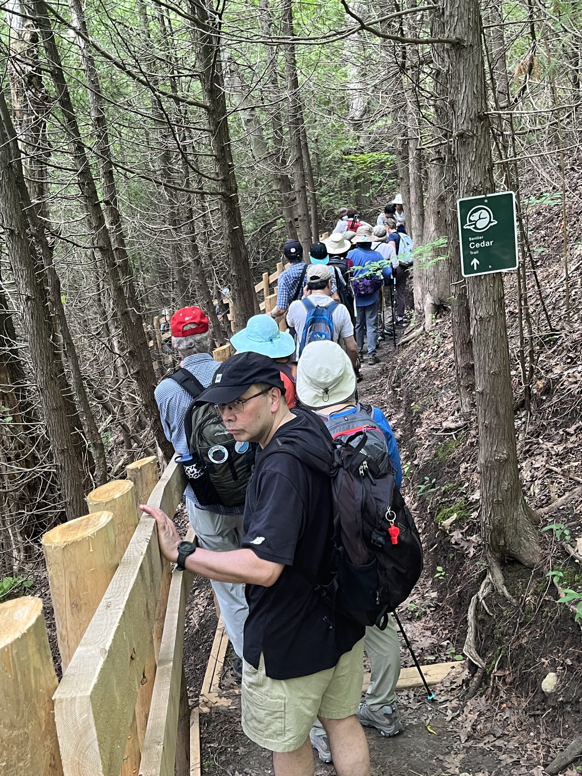
Please join us for a September hike in Rouge National Urban Park, a unique asset right within Toronto’s boundaries. Enjoy scenic views, hopefully cooler temperatures, the large wetland area, and the trail through the Cedar Forest. Expect some “healthy” hills.The hike will start at the Toronto Zoo entrance. To get there you may meet Tom at Union Station at 9:00 am in the Great Hall by the Travaler’s Aid information desk with the clock over it. We will take the 9:21 AM Lakeshore East GO Train to Rouge Hill station and transfer to TTC Route 200 seasonal service to the Toronto Zoo (free transfer if you have a Presto Card). You may also board at any Lakeshore East/West GO station or take TTC Route #86 from Kennedy Station (approximately 42 minutes) or Route #85 from Don Mills Sation (approximately 50 minutes). Note that the Zoo Road Day area is closed for construction of a new visitor centre. The adjacent parking is lot is also closed. We will finish at the campground on Kingston Road to the south so taking public transit is recomended. Unlike most urban walks within the city limits there will be no dropout points.
Bring at least 2 liters of water, lunch, snacks, layers appropiate to the weather conditions, and rain gear (if applicable).
Note that the toilet facilities in the southern section of the park are limited to a couple “portable potties” on Park Road and the Twyn Rivers Day Use area until construction is completed.
Optional Apres-hike stop at The Black Dog Pub on Island Road.
Here is a map of the proposed route: https://onthegomap.com/s/p9ql44rs