Join us for a hike! Registration required:
All hikes available to BTC members. Some hikes are open to non-members.
TIP: The calendar view displays up to 7 hikes on a day, but often there are more. Click “More events” to see them all.
Toronto Hike Schedule
Toronto Bruce Trail Club Registration Live Dates
Day Winter Coach Program
Registration begins two weeks in advance of the event departure (at 8:00 PM)
Day Bus Hikes
Registration begins two weeks in advance of the event departure (at 8:00 PM) with some exceptions of special event hikes
Day Coach Hikes
Registration begins 7 weeks in advance of the event departure
Day Car Hikes and Urban Hikes
Registration begins two weeks in advance of the event departure
Overnight and Weekend Trips
Registration begins 12 weeks in advance of the event departure
To view all Bruce Trail Conservancy Hikes click here
- 25October 25, 2025
Car Hike: Cherry Beach Down town
https://hikes.brucetrail.org/event/car-hike-cherry-beach-down-town-3/Sorry, the registration cut-off time for this hike has been reached.Not a member? Click here to join today!Hosting Club: Toronto
Location (Google Maps): Free parking at the end of Cherry Street ,Toronto
Hike Leader(s): Mohammad Aghamiri Click here to contact Hike Leader(s)
Pace: Moderate (3-4 km/hr)
Terrain: Flat, Level 1 (Easy – mostly on flat, well maintained trails with hard-packed surface), Variable
Distance: 12-14 kmDescription
Park in Cherry Beach parking lotWe will explore Tommy Thompson park along Lake Ontario and listen to the birds and visit light house at the end of park.
School Bus Hike: Iroquoia E2E (3/8)
https://hikes.brucetrail.org/event/school-bus-hike-iroquoia-e2e-3-8/Sorry, the registration cut-off time for this hike has been reached.Not a member? Click here to join today!Trip Information
Departure Time: 08:30
Return to City Time: 18:00
Departure Point: Kipling Departure PointOptional Items
Hosting Club: Toronto
Category: Bus Hike
Location (Google Maps): Hamilton (Map 7/8 – km 29.5 to km 45.2)Hike Leader(s): Tom Swales, Robin Crombie, Marina Wray Click here to contact Hike Leader(s)
Pace: Moderate (3-4 km/hr)
Terrain: Hilly, Level 2 (Intermediate – some hills and uneven surfaces, rocks and roots underfoot), Rocky, Variable
Distance: 16 kmDescription
We will follow the Bruce Trail has it makes it’s way through Hamilton along “the mountain”, which is what the escarpment is referred to by the locals and then on to the Chedoke Rail Trail in West Hamilton and finishing near Tiffany Falls at Ancaster. There will be a refreshment stop in Dundas before heading back to Toronto.These hikes are intended for hikers taking the bus from Toronto only.
Car Hike: #5/7 Iroquoia Bruce Trail End-to-End -18 KM
https://hikes.brucetrail.org/event/car-hike-5-7-iroquoia-bruce-trail-end-to-end-18-km/Sorry, the registration cut-off time for this hike has been reached.Not a member? Click here to join today!Hosting Club: Toronto
Category: Car Hike
Location (Google Maps): KM66 Roadside parking at Old Guelph Rd.Hike Leader(s): Alina Lin
Pace: Brisk (4-5 km/hr)
Terrain: Challenging, Flat, Hilly, Level 2 (Intermediate – some hills and uneven surfaces, rocks and roots underfoot), Rocky, Variable
Distance: 18 kmDescription
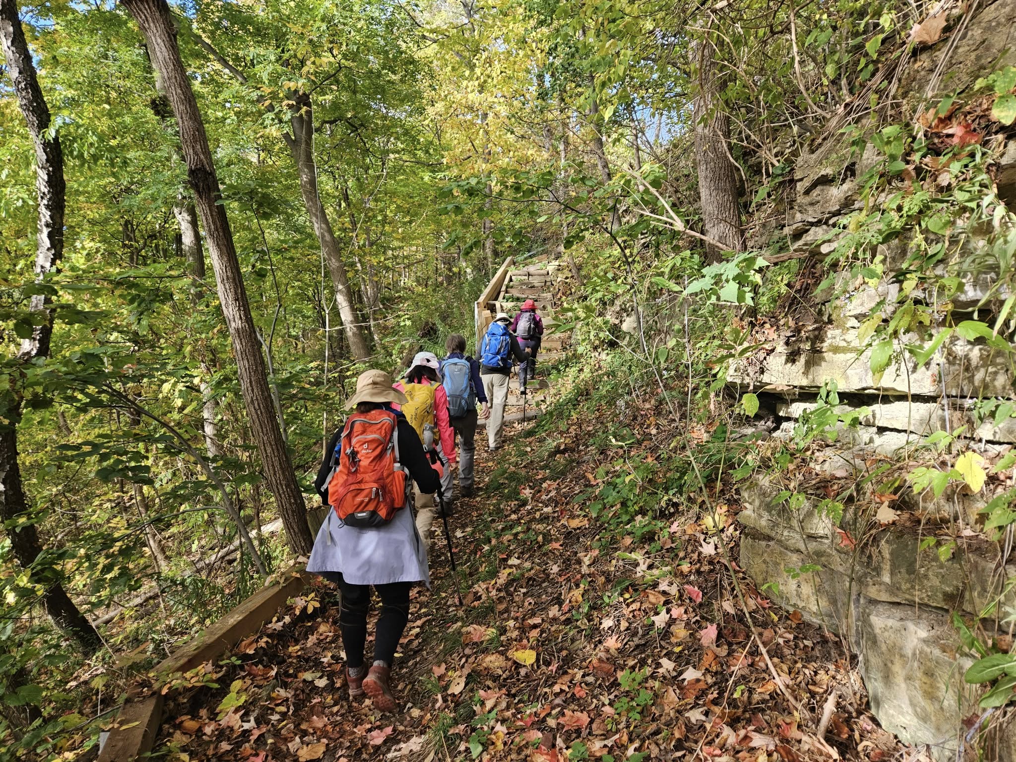
- It’s time for the fall colors—and no autumn feels complete without a hike on the Bruce Trail.
This is the 5th hike of an End-to-End series covering the entire Iroquoia Bruce Trail section. The full section stretches over 120 kilometers from Grimsby to Milton. I am using Map Edition 29 to plan the hikes, and so please note that kilometer markings may not be fully up to date, and actual hiking distances may vary slightly.
Meeting Point:
KM66. Roadside parking on the north end of Old Guelph Rd providing access to the Old Guelph Side Trail. GPS: 43.307417, -79.911580. Please arrive before 8:45am to allow time for car shuttle coordination.We will car shuttle to KM83.5. Roadside parking on Guelph Line, south of No. 1 Sideroad. GPS: 43.388387, -79.854327. From there to hike back to KM66.
All drivers are expected to participate in the car shuttle, either before or after the hike. All hikers are expected to chip in for parking fees, if applicable.
Important Notes:
- Wear sturdy hiking footwear and dress appropriately for the weather
- Bring snacks, and at least 1.5L of water
- No dropouts available.
- No pets.