
Join us for a hike! Registration required:
All hikes available to BTC members. Some hikes are open to non-members.
TIP: The calendar view displays up to 7 hikes on a day, but often there are more. Click “More events” to see them all.
To view all Bruce Trail Conservancy Hikes click here- 28June 28, 2026
Terra Cotta to Boston Mills Rd (E2E)
https://hikes.brucetrail.org/event/terra-cotta-to-boston-mills-rd-e2e-2/
Registration Required:
Click here to register for this hike (2 spots remaining)Hosting Club: Iroquoia
Category: General Hike
Location (Google Maps): Meet at 9:15 am at the end of Boston Mills Rd.Hike Leader(s): Karen Bergmann Click here to contact Hike Leader(s)
Pace: Medium – 3 to 4 km/hr
Terrain: Moderate – Some hills and/or some poor footing
Distance: 9 kmsDescription
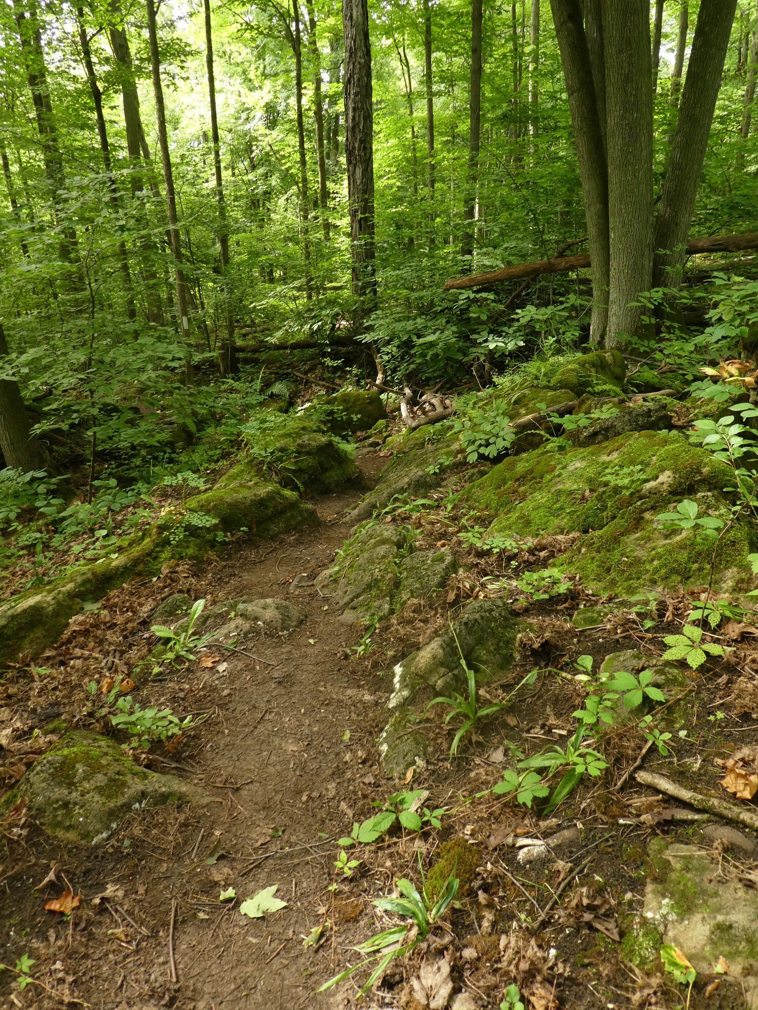
We will meet at the end of Boston Mills Rd (off Mississauga Rd) at 9:15 am and carpool to 10th Line and hike back on the main trail through Terra Cotta Conservation Area, across Winston Churchill Blvd and Heritage Rd and back to the cars. Bring a snack as needed. As well as bug spray/bug net. There are some technical (rocky) parts to this hike. as well as a couple of hilly bits.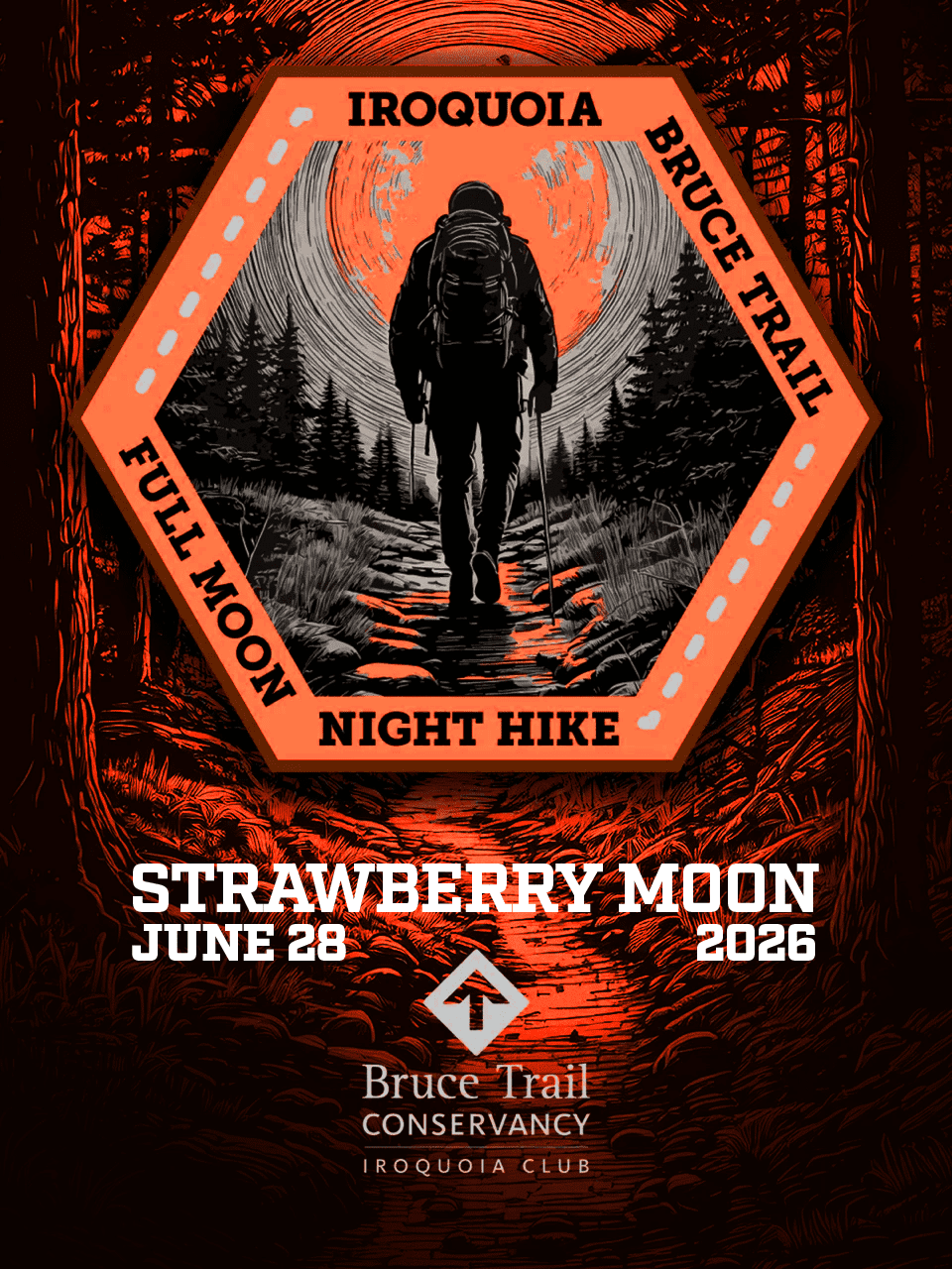
Full Moon Night Hike No.7 (Strawberry Moon)
https://hikes.brucetrail.org/event/full-moon-night-hike-no-7-strawberry-moon/
Registration Required:
Click here to register for this hike (33 spots remaining)Hosting Club: Iroquoia
Category: Moonlight Hikes
Location (Google Maps): We will meet at Dundas Driving Park, at 71 Cross St, Dundas. Proceed through the gate and take the road on the right to available parking on the east side of the park. I will have my tailgate up on my white Nissan Qashqai. Please plan to arrive by 9:00 pm so we can get everyone registered and head out at 9:30 pm.Hike Leader(s): Joe Borges Click here to contact Hike Leader(s)
Pace: Medium – 3 to 4 km/hr
Terrain: Dependent on Conditions, Slippery and Steep Sections, Strenuous – Hilly with steep climbs and some poor footing
Distance: 7.5 kmDescription
The Full Strawberry Moon hike is the seventh full moon of 2026. We’ll meet at the parking area inside Dundas Driving Park (71 Cross St Dundas) on the east side of the park. Please plan to arrive by 9:00 pm to get everyone registered and on our way by 9:30 pm.We will hike out of the park along Alma St and pick up the main trail/Tews Fall Side Trail, climbing the escarpment, hiking along the top to Dundas Peak – there will many views overlooking Dundas and afford us some good views of the Full Worm Moon. A short pause for pics at the Peak and back down along the Glen Ferguson Side Trail/Tews Fall Side Trail and back to the park and our cars.
Be sure to wear layered clothing, bring water, icers and poles if you use them. The ascent might be icy as this is a popular trail to the Dundas Peak.
If this is your third hike in the series you qualify for the Iroquoia Full Moon badge – new for 2026! Cost is $10 for BTC Members and $15 for non-members. Badges can be picked up at this hike if you pre-order and pay through Iroquoia Bruce Trail Club Badges – Iroquoia Bruce Trail Club
Members / Click to Purchase Your Badges
https://www.zeffy.com/en-CA/ticketing/1de4dba1-aca4-44e2-b0b0-d94f1c826c42Non-Members / Click to Purchase Your Badges
https://www.zeffy.com/en-CA/ticketing/93131d23-cc73-44fe-913d-e4938ee174c6 - 29June 29, 2026
Blue Mountains End-to-End in 5 - Hike 3 Make-Up
https://hikes.brucetrail.org/event/blue-mountains-end-to-end-in-5-hike-3/Hike open to BTC Members only.
Registration Required:
Click here to register for this hike (1 spots remaining)Hosting Club: Iroquoia, Blue Mountains
Category: General Hike
Location (Google Maps): Roadside Parking on north end of Osprey-Clearview TownlineHike Leader(s): Pati Greenwood, Jeff Dowsett Click here to contact Hike Leader(s)
Pace: Medium – 3 to 4 km/hr
Terrain: Dependent on Conditions, Moderate – Some hills and/or some poor footing
Distance: 12.9 kmDescription
NOTE: This is a make-up hike for the 3rd in the Blue Mountains E2E series that was cancelled due to weather.This is an End-to-End hike series to complete the Blue Mountains section of the Bruce Trail in 5 hikes. Join for all or as many hikes as desired – you will need to register for each hike in the series which will take place on the following dates in April: 17, 18, 19, 24 and 25.
Since this is a group hike, please consider your fitness level before registering. We will be walking at a pace of 3km – 4km per hour and hikers will need to keep up with the person in front of them for the duration of the hike. The hike series will also involve car shuttles and every hiker is expected to participate as drivers.
Weather conditions in the spring can be changeable, so it’s best to dress in layers and come prepared for varying conditions throughout the day. Hiking boots are required and hiking poles are strongly recommended. Bring plenty of fluids and a snack.
This third hike of the series will be 12.9 km long. Plan to arrive at the meeting place by 8:15 a.m. as we will start the car shuffle to the hike starting point at 8:30 a.m. sharp. Further details will be provided to registered hikers a few days prior to the hike.
Peninsula Strawberry Full Moon Hike - Meet time 9pm
https://hikes.brucetrail.org/event/peninsula-strawberry-full-moon-hike-meet-time-9pm/
Registration Required:
Click here to register for this hike (1 spots remaining)Hosting Club: Iroquoia, Peninsula
Category: Moonlight Hikes
Location (Google Maps): Barrow Bay Parking Lot in the Peninsula ClubHike Leader(s): Ruth Moffatt Click here to contact Hike Leader(s)
Pace: Leisurely – 3km/hr or less, Medium – 3 to 4 km/hr
Terrain: Dependent on Conditions, Moderate – Some hills and/or some poor footing
Distance: 7-8kmDescription
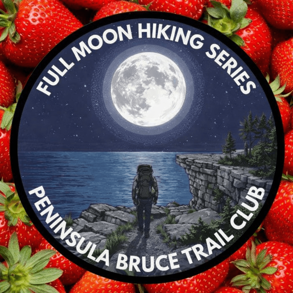
This full moon hike is in the Peninsula Section of trail and led by an Iroquoia Hike Leader.Welcome to more Full Moon Hike Series – This is 1/4 that will be led this summer. Details for collecting badges are at the bottom of the hike details.
We will meet in the Barrow Bay parking lot and make our way out to the Barrow Bay Cliffs Nature Reserve at the lookout and make our way back on the Beth Gilhespy and John Appleton Side Trails. We will not be descending the staircase.Sunset is at 9:17.
Bring water and whatever snacks you need as well as a first aid kit, poles if you use them and most importantly, a head-lamp with a red light if you have one.
2/4 July 29 Buck Moon – Meet time is 8:30pm3/4 August 28 Sturgeon Moon – Meet time is 7:45pm
4/4 September 26 Harvest Moon – Meet time is 6:00pm
The following is from the Bruce Trail Conservancy website regarding Hiking at Night.
While most hikers choose to explore the Bruce Trail by day to take in the colourful sights and vast vistas, venturing out after dark also has its benefits.
Hiking at night allows you to tap into other senses and explore nature in a whole new way. From stargazing to nocturnal animal sightings, there is a lot to see and hear when exploring the Bruce Trail after sunset. No matter your motivation for heading out for a nighttime hike, certain precautions should be taken to ensure that your time on the Trail is safe and enjoyable.Before you go
Plan your route and choose somewhere familiar. It’s easy to get turned around in the darkness. Planning your route and hiking it in daylight first will help you know what to expect. If you’ve never tried hiking at night, start with a shorter hike somewhere familiar to you. Always stay on the Trail to avoid getting lost.Bring a headlamp or flashlight and extra batteries. The Trail can be quite rugged with uneven surfaces, rocks, and roots. A headlamp or flashlight is essential for preventing trips and falls – and both are brighter and last longer than your phone’s built-in light. A light source with different settings, including a red light, is ideal as bright lights can be hard on your eyes over time.
Bring a fully charged cell phone. You should always bring your phone with you when hitting the trails in case you need to call for help. Most phones have a flashlight function that can act as a backup to your headlamp. You can also use your phone’s GPS with apps like the Bruce Trail App and what3words for navigational and safety purposes.
Wear reflective clothing and bring a whistle. A reflective piece of clothing can help other hikers or drivers see you in the darkness. A whistle can help others hear you in case of an emergency, even if they can’t see you.
Plan to do your first hike under a full moon and a clear sky.
A full moon can provide a surprising amount of light. Planning your first night hike during a full moon and clear sky can be a great way to acclimate yourself to hiking after dark.Don’t go solo and tell someone where you are going. Always share your route with someone before heading out in case of an emergency. Bring a friend to explore the Trail together, or join one of the moonlit hikes offered by some Bruce Trail Clubs.
Bring layers. The temperature can drop quickly in the woods at night. Bring layers to stay warm and comfortable.
While HikingSlow down and be aware of hazards. Don’t expect to hike at the same pace you would in daylight. Darkness can make the terrain more challenging. Slow down, pay attention to your surroundings, and stay away from cliff edges to prevent injuries.
Be prepared for wildlife. Many animals such as coyotes, owls, bats, salamanders, foxes, opossums, and skunks are active at night. Sightings can enhance your nighttime hiking experience but be careful not to get too close. Keep your ears open to the sounds around you to avoid unwanted interactions.
While more preparations may be needed for a hike after dusk, for many, once they find themselves in the cool of the night gazing up at the constellations or watching an owl swoop through the darkness, the effort is well worth it.
If you are collecting your badge tonight or on any of the following full moon hikes: July 29, August 28, September 26, please bring exact cash $10 for members and $15 for non-members to cover the cost of the badge. You must’ve have completed at least 4 full moon hikes. If you wish to pay by e-transfer and have your badge mailed out to you, you may also choose to receive it that way. For simplicity sake, and because it will be dark out, it would be appreciated if you could please choose one method of receiving your badge or the other. Badges are on the honour system so if this is your 4th hike, please feel free to receive your badge.
- 30June 30, 2026
Hilton Falls on the Bike Trails
https://hikes.brucetrail.org/event/hilton-falls-on-the-bike-trails-4/
Registration Required:
Click here to register for this hike (3 spots remaining)Hosting Club: Iroquoia
Category: General Hike
Location (Google Maps): Meet in the parking lot at Hilton Falls Conservation Area at 9:15 amHike Leader(s): Karen Bergmann Click here to contact Hike Leader(s)
Pace: Medium – 3 to 4 km/hr
Terrain: Moderate – Some hills and/or some poor footing
Distance: 8 kmsDescription
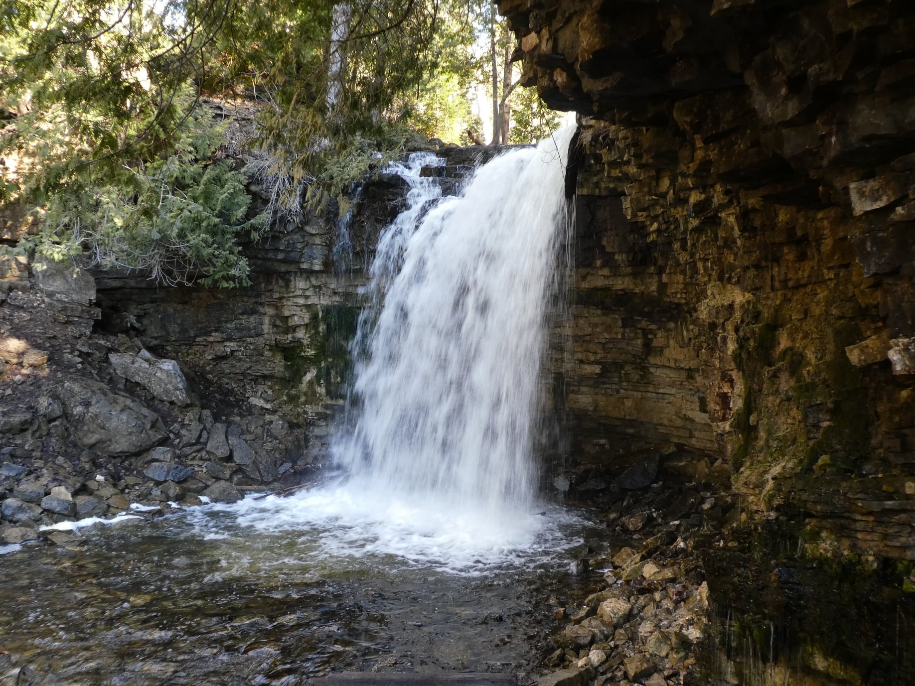
Meeting in the parking lot at 9:15 am, we will hike to the Falls and then across the creek to the bike trails and back along the Hilton Falls Side Trail. Reserve your time at conservationhalton.ca Bring sufficient water as well as bug spray/bug net. - 01July 1, 2026

Canada Day 🇨🇦 Hike - Meet time is 8:50am
https://hikes.brucetrail.org/event/canada-day-%f0%9f%87%a8%f0%9f%87%a6-hike-meet-time-is-850am/
Registration Required:
Click here to register for this hike (9 spots remaining)Hosting Club: Iroquoia
Category: General Hike
Location (Google Maps): Parking lot off of Mud StHike Leader(s): Ruth Moffatt Click here to contact Hike Leader(s)
Pace: Medium – 3 to 4 km/hr
Terrain: Moderate – Some hills and/or some poor footing, Strenuous – Hilly with steep climbs and some poor footing
Distance: 10-12kmDescription
Happy Canada Day! 🇨🇦 What better way to celebrate than a Bruce Trail Hike?!
Please wear all your Canadian colours and bring enough water and snacks for the hike. There may very well be an all- Canadian treat for everyone after the hike. - 02July 2, 2026
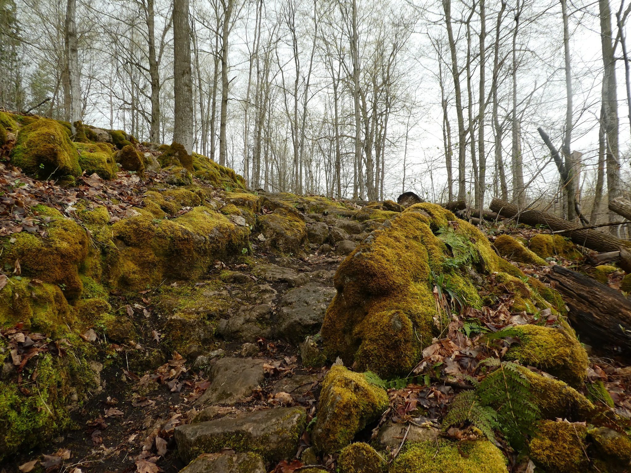
Halton Agreement Forest
https://hikes.brucetrail.org/event/halton-agreement-forest-3/
Registration Required:
Click here to register for this hike (11 spots remaining)Hosting Club: Iroquoia
Category: General Hike
Location (Google Maps): Meet at the corner of 10 Side Road and 4th Line at 9:15 am.Hike Leader(s): Karen Bergmann Click here to contact Hike Leader(s)
Pace: Medium – 3 to 4 km/hr
Terrain: Moderate – Some hills and/or some poor footing
Distance: 8 kmsDescription
Meeting at 9:15 am, we will hike the bike trails around a big loop. Bring bug spray/bug net and plenty of water. - 03July 3, 2026
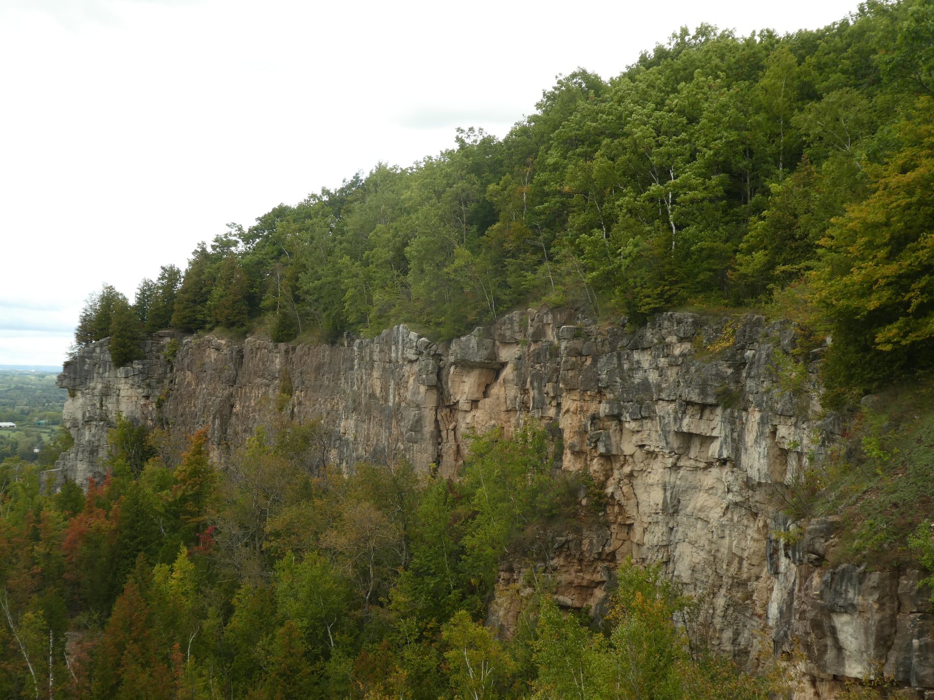
Afternoon Hike - Kelso Summit (reservation required)
https://hikes.brucetrail.org/event/afternoon-hike-kelso-summit-reservation-required-2/
Registration Required:
Click here to register for this hike (8 spots remaining)Hosting Club: Iroquoia
Category: Afternoon/Evening Hikes
Location (Google Maps): Meet at 4:15 pm in the Kelso Summit parking lot on Steeles Ave.Hike Leader(s): Karen Bergmann Click here to contact Hike Leader(s)
Pace: Medium – 3 to 4 km/hr
Terrain: Moderate – Some hills and/or some poor footing
Distance: 7 kmsDescription
Meeting at 4:15 pm, we will hike along a few of the trails in a loop. Please reserve your time for KELSO SUMMIT at www.conservationhalton.caBring bug spray/bug net.
- 04July 4, 2026

Tails on the Trail - A dog friendly hike! Meet at 8:20am
https://hikes.brucetrail.org/event/tails-on-the-trail-a-dog-friendly-hike-meet-at-820am/
Registration Required:
Click here to register for this hike (8 spots remaining)Hosting Club: Iroquoia
Category: Tails on the Trail
Location (Google Maps): Parking lot off of Ridge Rd, in GrimsbyHike Leader(s): Ruth Moffatt Click here to contact Hike Leader(s)
Pace: Medium – 3 to 4 km/hr
Terrain: Moderate – Some hills and/or some poor footing
Distance: 5kmDescription
Please join us for this dog-friendly hike where we will hike with our canine companions from the parking area over to Beamer’s Conservation Area and around the loop.
Please ensure your dog is leashed, well-socialized and all dog waste is carried out. Note: There may be a waste bin in the area. We will hike rain or shine. Please disregard the notice on the system generated confirmation about dogs. Please bring enough water and treats for you and your dog.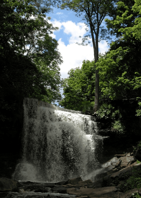
RAINBOW HIKE: Smokey Hollows to Clappison Woods & Beyond
https://hikes.brucetrail.org/event/rainbow-hike-smokey-hollows-to-clappison-woods-beyond/
Registration Required:
Click here to register for this hike (24 spots remaining)Hosting Club: Iroquoia
Category: Rainbow Hike
Location (Google Maps): Smokey Hollow Waterfalls, WaterdownHike Leader(s): Doug O’Neill Click here to contact Hike Leader(s)
Pace: Medium – 3 to 4 km/hr
Terrain: Moderate – Some hills and/or some poor footing, Strenuous – Hilly with steep climbs and some poor footing
Distance: 13-14 kmDescription
Come by car or public transit for this all-inclusive 2SLGBTQIA+ friendly hike from Smokey Hollows Waterfall, Waterdown to Clappison Woods and beyond.This is an in-and-out hike, starting and returning to Smokey Hollow Waterfalls, Waterdown.
Please arrive at the Smokey Hollow parking lot, 80 Mill St. South, by 8:45 a.m. for a 9 a.m. start. Parking fills up quickly.
We’ll start at Smokey Hollows and follow the main trail along Grindstone Creek, through Clappison Woods and beyond the “tunnel.” We’ll be in deciduous forest for much of the day so we’ll have shade. Some excellent lookouts. Expect hills, a few steep climbs and descents, plus some rocky bits. We’ll hike about 6.5-7 km each way.
By public transit. There are various HSR options from Hamilton that will take you to Mills Street, Waterdown. One popular route from Aldershot GO station is to hop on the local 18 Burlington bus and get off at “Mill at Mountain Brow,” a 5-minute walk to the Smokey Hollows parking lot. Another option from Hamilton central: Take the No. 1 “East to Appleby GO” from King street to Plains at Waterdown, where you will transfer to the No. 18 (which goes via Aldershot).
Coming by GO Train from Toronto, Oakville and points east: : Simply get off at Aldershot GO, and take the above-mentioned local 18 bus.
By car: There is unpaid parking at Smokey Hollow. Note: It fills up early. You can look for parking downtown Waterdown, and walk to Smokey Hollows Parking lot. PLEASE allow yourself enough time to find parking as we’re meeting at 8:45 a.m latest. There are no washroom facilities at the starting point so you may wish to hit a Tim Horton’s beforehand.
Everyone is invited for a post-hike coffee or cold pint in downtown Waterdown.
Bring 1.5 – 2 litres of water and lunch, as well as sunscreen, insect repellent, hat, hiking boots or sturdy footwear. Avoid wearing shorts as it’s tick season.
Get your complimentary Bruce Trail Rainbow badge .
Feel free to reach out to the Hike Leader if you have any questions – “Click here to contact Hike Leader” on this form.