
Join us for a hike! Registration required:
All hikes available to BTC members. Some hikes are open to non-members.
TIP: The calendar view displays up to 7 hikes on a day, but often there are more. Click “More events” to see them all.
To view all Bruce Trail Conservancy Hikes click here- 10May 10, 2026

St. Helena Forest
https://hikes.brucetrail.org/event/st-helena-forest-2/Sorry, the registration cut-off time for this hike has been reached.Not a member? Click here to join today!Hosting Club: Iroquoia
Category: General Hike
Location (Google Maps): Meet in the Pear Tree parking lot at Speyside on 15 Side Road at 9:15 amHike Leader(s): Karen Bergmann Click here to contact Hike Leader(s)
Pace: Medium – 3 to 4 km/hr
Terrain: Moderate – Some hills and/or some poor footing
Distance: 10 kmsDescription
Meeting at 9:15 am in the Pear Tree parking lot, we will hike the main trail into the St. Helena forest and along the trails, which are VERY rocky. This is a dense forest that takes us around a large marsh pond and back up the Al Shaw Side Trail. This hike is about 90% technical (on rocks), so be prepared for that. Not for first time hikers. - 11May 11, 2026
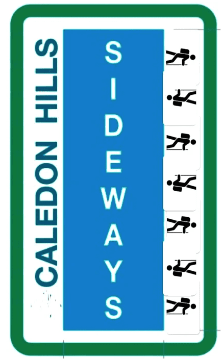
*Caledon Hills Sideways Badge - Hike #3
https://hikes.brucetrail.org/event/caledon-hills-sideways-badge-hike-3/Sorry, the registration cut-off time for this hike has been reached.Not a member? Click here to join today!Hosting Club: Iroquoia, Caledon Hills
Category: Special Event
Location (Google Maps): Caledon Hills – Location will be advisedHike Leader(s): Heather Zrini Click here to contact Hike Leader(s)
Pace: Medium – 3 to 4 km/hr
Terrain: Dependent on Conditions, Moderate – Some hills and/or some poor footing, Strenuous – Hilly with steep climbs and some poor footing
Distance: 20 kmDescription
On this series of three hiking days, we will complete the five loop hikes that are required to earn the Caledon Hills Sideways Badge. If you are not interested in earning the badge, please join us for some great hiking. Hikers can sign up for individual hikes as you do not need to complete all three to participate. The dates of the three hiking days will be April 13, April 27 and May 11. We will meet at the starting point at 9am each week. Our finishing time is an approximation. On each of the first two hiking days, we will be completing two of the loops. On May 11, there will be one loop hike and if there is interest, we will hike another loop in Mono Cliffs Provincial Park. Each loop is approximately 10 km in length. For more information about the hikes, please see the link below:Sideways Badge Loop .PDF Download
Our schedule will be as follows:
April 13 – Hike One and Hike Five
April 27 – Hike Two and Hike Three
May 11 – Hike Four and a hike in Mono Cliffs Provincial Park
Carpooling is encouraged. Since these are loop hikes, we will not need to shuttle. On the first day, a Provincial Park Daily Vehicle Permit Reservation will be required. We will be parking and hiking in the Forks of the Credit Provincial Park on Day 1. Passes that can be used when making the reservation can be purchased through the Ontario Provincial Park website or borrowed from your local library. If a car does not have a pass, the cost of the Daily Vehicle Permit reservation will be split between those people in that car.
More information, including specific details about the meeting points, will be provided to those who sign up for the hikes.
If there are any questions, please don’t hesitate to ask.
- 12May 12, 2026

Mono Cliffs Provincial Park
https://hikes.brucetrail.org/event/mono-cliffs-provincial-park/Sorry, the registration cut-off time for this hike has been reached.Not a member? Click here to join today!Hosting Club: Iroquoia
Category: General Hike
Location (Google Maps): Meet at 9:15 am on Second Line EHSHike Leader(s): Karen Bergmann Click here to contact Hike Leader(s)
Pace: Medium – 3 to 4 km/hr
Terrain: Moderate – Some hills and/or some poor footing
Distance: 10 kmsDescription
Meeting at 9:15 on 2nd Line, we will hike the main trail, down the loop to the South Outlier Trail and down the switchback to the Walter Tovell Side Trail and Lookout ST to the main trail. Bring water and a snack, as needed. - 13May 13, 2026

Dundas Valley - Trilliums, Loops and Waterfalls
https://hikes.brucetrail.org/event/dundas-valley-trilliums-loops-and-waterfalls/Sorry, the registration cut-off time for this hike has been reached.Not a member? Click here to join today!Hike open to BTC Members only.
Hosting Club: Iroquoia
Category: Good Companions
Location (Google Maps): Artaban Road parking lot.
Please note paid parking unless you have a Hamilton Conservation pass.Hike Leader(s): Kathy Rymal Click here to contact Hike Leader(s)
Pace: Medium – 3 to 4 km/hr
Terrain: Moderate – Some hills and/or some poor footing, Strenuous – Hilly with steep climbs and some poor footing
Distance: 7.5 kmDescription
We will be heading along Artaban Road to the Monarch Trail leading to the Main Loop.Nice meanders and hilly climbs along the loop to the Heritage Trail where we will view a few waterfalls on our way back to the parking lot.
Hike will be cancelled in case of rain. I will inform you by email the evening before the hike if this is the case.
Bring water, a snack, sunscreen, insect repellant and your own first aid kit.
Please arrive 15 minutes before start time
- 14May 14, 2026No events
- 15May 15, 2026
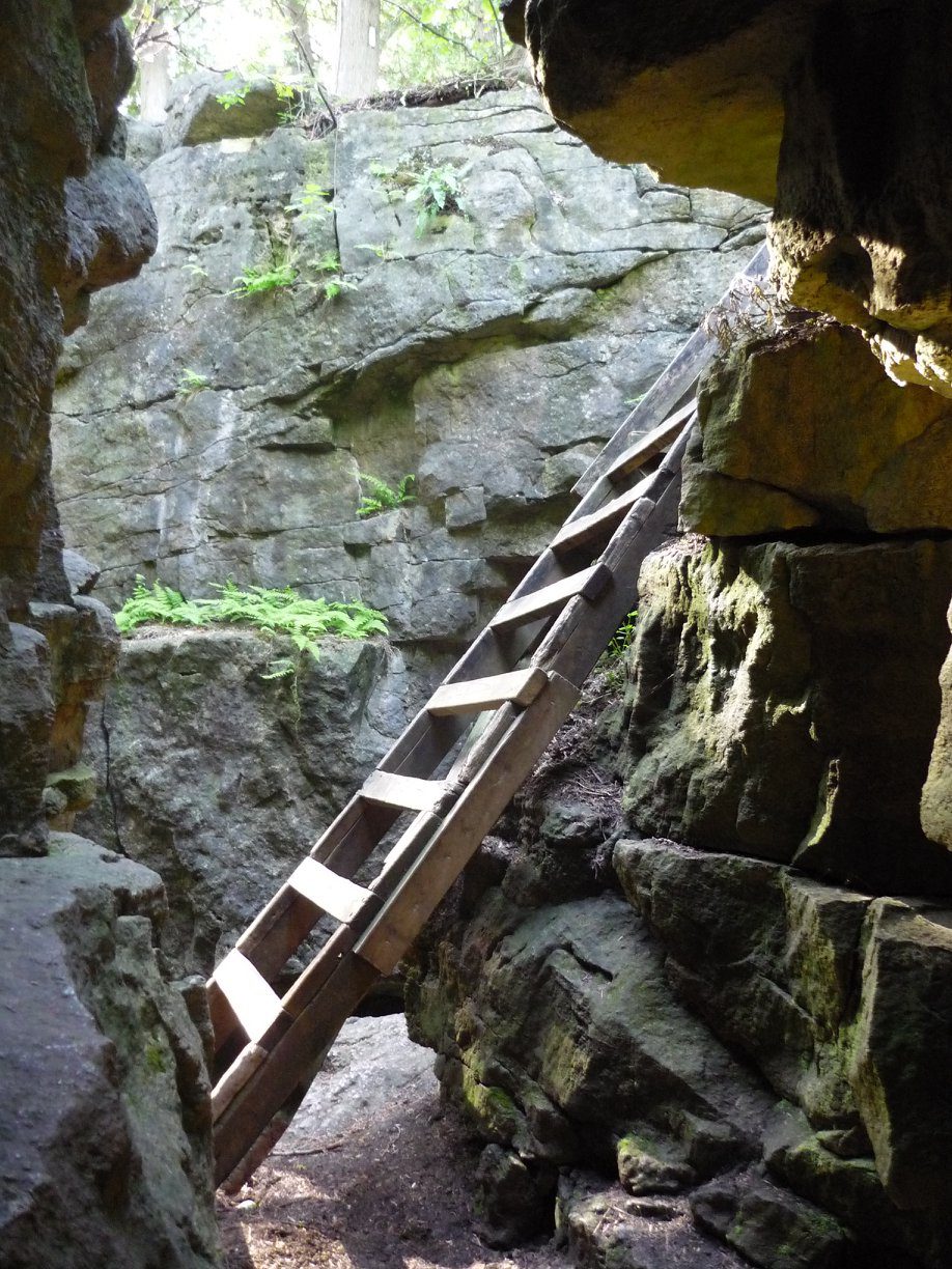
Afternoon hike - Limehouse Conservation Area
https://hikes.brucetrail.org/event/afternoon-hike-limehouse-conservation-area-2/Sorry, the registration cut-off time for this hike has been reached.Not a member? Click here to join today!Hosting Club: Iroquoia
Category: Afternoon/Evening Hikes
Location (Google Maps): Meet at 4:15 pm in the parking lot at Limehouse Conservation Area.Hike Leader(s): Karen Bergmann Click here to contact Hike Leader(s)
Pace: Medium – 3 to 4 km/hr
Terrain: Moderate – Some hills and/or some poor footing
Distance: 7 kmsDescription
The trees will be leafing out so we will be surrounded by green. We will hike around the park and then briefly out along the main trail to the Todd Bardes Meadowland Side Trail and back. Bring bug spray in case they have awakened. - 16May 16, 2026
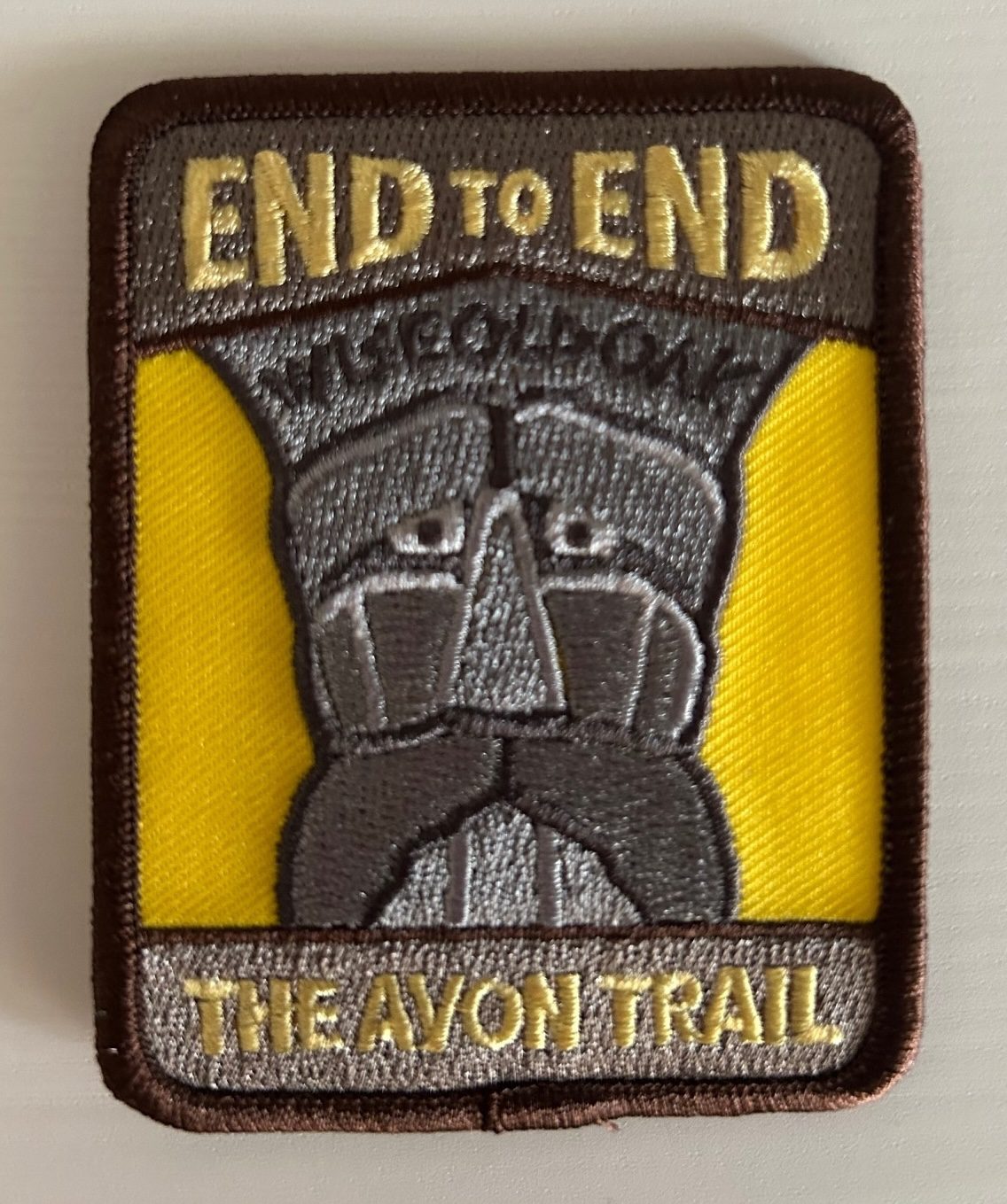
Avon Trail E2E in 5
https://hikes.brucetrail.org/event/avon-trail-e2e-in-5/Sorry, the registration cut-off time for this hike has been reached.Not a member? Click here to join today!This is a Multi-Day Hike
You are signing up for the following dates and times:
2026-05-16 at 08:00
2026-05-17 at 08:00
2026-05-18 at 08:00
2026-05-23 at 08:00
2026-05-24 at 08:00Hosting Club: Iroquoia
Category: General Hike
Location (Google Maps): Day 1 – May 16,2026 – 26.8km
meet at Oxford Line 33 shoulders. Coordinates: 43.2526, -80.9853
shuttle to Water St N beside tennis courts. Coordinates: 43.2491, -81.1498Day 2 – May 17,2026 – 24.8km
Meet at Perth Road 111. Coordinates: 43.3764, -80.9377
shuttle to Oxford Line 33 shoulders. Coordinates: 43.2526, -80.9853Day 3 – May 18,2026 – 20.9
Meet at Peth Rd. 104. 8 spots north of trail head at Lisbon Cemetery; do not block entrance to cemetery. Coordinates: 43.4362, -80.7882
shuttle to Perth Road 111. Coordinates: 43.3764, -80.9377Day 4 – May 23, 2026 – 29km
Meet at Wideman Rd, shoulder. Coordinates: 43.4714, -80.6159
Shuttle to Peth Rd. 104. 8 spots north of trail head at Lisbon Cemetery; do not block entrance to cemetery. Coordinates: 43.4362, -80.7882Day 5 – May 24, 2026 – 27km
Meet at Golf Course Rd / Priddle Park, parking sth side for several cars, or at display board at bend in road. Coordinates: 43.5418, -80.494
Shuttle to Wideman Rd, shoulder. Coordinates: 43.4714, -80.6159Hike Leader(s): IgorT Click here to contact Hike Leader(s)
Pace: Brisk – 4 to 5 km/hr, Medium – 3 to 4 km/hr
Terrain: Dependent on Conditions, Moderate – Some hills and/or some poor footing
Distance: 25-30Description
Please join me to explore Avon trail E2E in 5 days.We going to hike 20 – 30 km a day.
This is a Challenger series of hikes; we will complete the entire 128 km of the Avon trail in 5 hikes.
You are welcome to come on just a few of the hikes or on all of them, but you will have to complete the missing areas of the trail on your own and submit the log for the E2E badge.
You can join WhatApp group if you wish to share photos and conversation about the hike.
By the end of the hike, you can apply for badge thru https://avontrail.ca/ or badge can be provide to you at last day. There 3 different options of you choose.
We meet at meeting point at 8am every day. Please arrive 10min before.
Please know your physical limit before signing up for this hike. The trail is a combination of road and trails.
Hikers will be expected to participate in shuttling to and from the hike. Responsibility will be shared equally.
Please bring at least 2l of water and enough snacks & lunch to get you through the day as well as bug spray, sunscreen, a first aid kit and poles if you use them. There are no dropouts. If you cannot finish the hike, you will be responsible for getting back to your vehicle.
No dogs.
Any questions may be directed through contact on this form.
If you cannot make it, please remove yourself from registration so that a spot can be opened for someone else.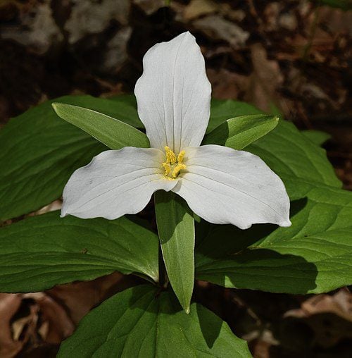
RAINBOW HIKE: Trillium Quest - Dundas Valley Conservation Area
https://hikes.brucetrail.org/event/rainbow-hike-trillium-quest-dundas-valley-conservation-area/Sorry, the registration cut-off time for this hike has been reached.Not a member? Click here to join today!Hosting Club: Iroquoia
Category: Rainbow Hike
Location (Google Maps): Dundas Valley Conservation Area, main parking lot.Hike Leader(s): Doug O’Neill Click here to contact Hike Leader(s)
Pace: Leisurely – 3km/hr or less, Medium – 3 to 4 km/hr
Terrain: Easy – Mostly flat and usually good footing, Moderate – Some hills and/or some poor footing
Distance: 12 km (with dropout opportunities)Description
Come by car or HSR transit to this all-inclusive, 2SLGBTQIA+ friendly quest to spot trilliums and other spring flowers.This queer-led, all-inclusive hike is designed to provide a safe, welcoming space for 2SLGBTQIA+ hikers—including Two-Spirit, trans, gay, lesbian, bisexual, queer, intersex, and asexual folks, as well as allies and friends. Show up, be your authentic self, and have fun.
We’ll meet in the main parking lot of the Dundas Valley Conservation Area (the one closest to the Trail Centre) at 650 Governors Rd., at 10 a.m. for a 10:15 start.
If arriving by car: Conservation parking at 650 Governor’s Road is $11.50 per vehicle. Anyone with a HCA pass gets free parking.
Coming by public transit: Take the “5B PIRIE AT GOVERNORS” bus and get off at the very last stop (at Pirie). It’s a 6-minute walk west along Governors Road to the entrance of the Conservation Centre, and then another 5 minutes up the laneway to the last parking lot. (There’s no admission fee if you arrive on foot.) Continue past the Stacey Meadows lot (the first parking lot you’ll come to) until you reach the main parking lot. We’ll rendezvous at the big sign at the far end of the lot. Look for the guy with Bruce Trail cap 🙂
Our route: After a washroom stop at the Trail Centre, we’ll follow the Bruce Trail main trail (a.k.a. McCormick Trail) all the way to Dundas (Woolley Lane) where trilliums have been known to flourish. We’ll loop back and then follow a mix of main and side trails, stopping for lunch. We’ll aim for 12 kilometres but there will be opportunities to drop out earlier.
Washrooms: there are indoor washrooms and a water fountain at the Trail Centre.
Complimentary Bruce Trail Rainbow badges ]to all participants.
Bring 1 or 2 litres of water, energizing snacks and lunch. Don’t forget sunscreen and insect repellent. Hiking boots or sturdy footwear are recommended—as well a cap. Because we’ll be in long grassy areas, long pants are recommended as it’s tick season. (Always avoid wearing shorts in long grass.)
Email any questions to the Hike Leader – “Click here to contact Hike Leader” on this form.
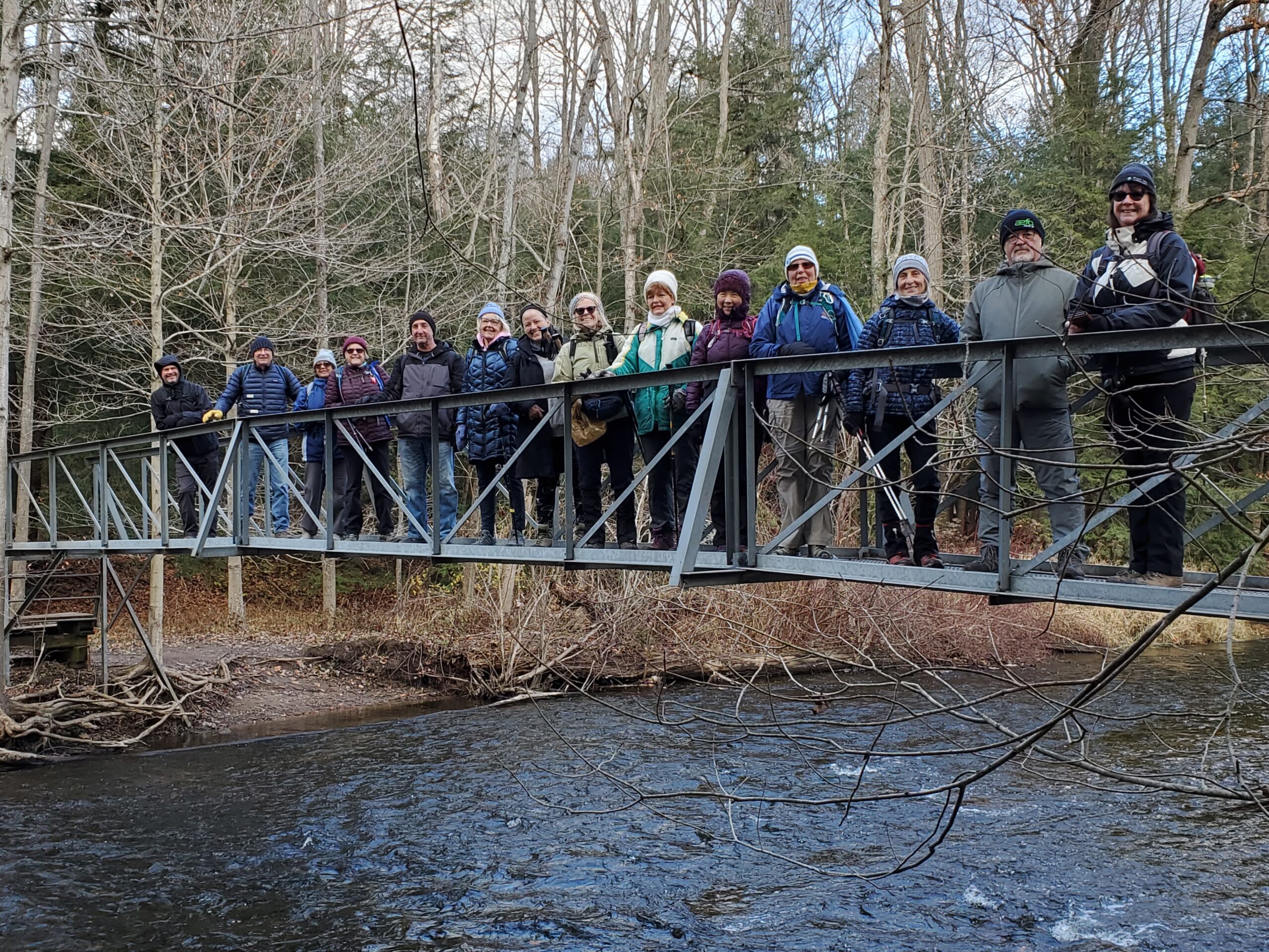
Kilbride River & Ruins
https://hikes.brucetrail.org/event/kilbride-river-ruins/Sorry, the registration cut-off time for this hike has been reached.Not a member? Click here to join today!Hosting Club: Iroquoia
Category: General Hike
Location (Google Maps):Meeting at Park behind Kilbride Public School
Hike Leader(s): Cathie Green Click here to contact Hike Leader(s)
Pace: Leisurely – 3km/hr or less
Terrain: Moderate – Some hills and/or some poor footing
Distance: Approximately 8 kmsDescription
Suitable hike for beginners and family – Some hills, but leisurely paceWe will meet at park behind Kilbride Public School and hike along Kilbride Street to Twiss Road and onto the main trail at 8th Line – this will meet up with the River and Ruins side trail which we will take along Bronte Creek and then follow the upper side trail to main trail and follow blue trail- side streets back to our vehicles
Must bring Water and wear suitable clothing for weather- Snack/poles/hat/bug spray/sunscreen –
Any concerns or questions, please text or email me through this form.