Categories
- 08July 8, 2026
Car Hike: Beaver Valley E2E 3/5
https://hikes.brucetrail.org/event/car-hike-beaver-valley-e2e-3-5/
Registration Required:
Click here to register for this hike (1 spots remaining)Hosting Club: Toronto, Beaver Valley
Category: Car Hike
Location (Google Maps):Graham Hill Rd 60 meters to the west of km 74.2. Coordinates N 44.333807,W 80.554916 map # 26.
Hike Leader(s): Smadar Junkin Click here to contact Hike Leader(s)
Pace: Brisk (4-5 km/hr)
Terrain: Challenging, Hilly, Level 3 (Advanced – steep hills and some scrambling over boulders)
Distance (km): 24 kms.Description
Please see hike notes on hike #1. We will shuttle to km 50.0 and hike back.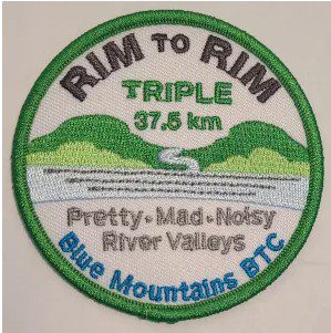
RIM 2 RIM Badge Hike #1 Pretty River Rim (First in a series of 3 for the Rim2Rim badge)
https://hikes.brucetrail.org/event/rim-2-rim-badge-hike-1-pretty-river-rim-first-in-a-series-of-3-for-the-rim2rim-badge-2/
Registration Required:
Click here to register for this hike (11 spots remaining)Hosting Club: Blue Mountains
Category: Organized Hike
Location (Google Maps): Snowmobiler’s Lot at Pretty River Provincial Park.
549949 Pretty River Rd, Nottawa, ON L0M 1P0Hike Leader(s): Rob Johnston Click here to contact Hike Leader(s)
Pace: Medium – 3 to 4 km/hr
Terrain: Strenuous – Hilly with steep climbs and some poor footing
Distance: 18.5Description
This is the first of three the Rim-To-Rim hikes required for the Blue Mountain Rim-To-Rim badge. Each of these hikes starts at the bottom of a river valley, hikes up one side and back, then up the other side of the valley and back. As such these are very hilly and strenuous.About 18.5 km with almost 810 m elevation gain.
Meet at Trailhead. Park your car in the large Ontario Parks Lower Pretty River lot [44.430983, -80.275474]. Do not park along Pretty River Road as it is a strictly enforced no parking zone. Proceed north on the white blazed trail up the escarpment to the blue blazed side trail – John Haigh Side Trail. Proceed west past the highest point on the Bruce Trail. Continue until you reach the intersection of the 2nd line and 6th Sideroad. Retrace your steps back to the parking lot. Have a break. Proceed east along the white blazed trail until you reach the Blue Mtns Clearview Townline. Head south and continue south past Osprey-The Blue Mountains Townline. Follow the white blazed trail until you reach the blue side trail – Standing Rock & Caves Side Trail. Turn west and take the blue blazed side trail through the Singhampton Caves until it rejoins the white blazed trail again. Turn east (left) and follow the white blazed trail which turns west and then north retracing your steps back to the parking lot. Bring lots of snacks, lunch and water. Check the other two Rim-To-Rim hikes in the schedule on 5 Aug 2026 and 29 Aug 2026
WEDNESDAY WALKERS - Exploring Eagle's Summit
https://hikes.brucetrail.org/event/wednesday-walkers-exploring-eagles-summit/
Registration Required:
Click here to register for this hike (14 spots remaining)Hosting Club: Beaver Valley
Location (Google Maps): Beaver Valley Rest Area. On the west side of Grey Road 13. South of the hamlet of Kimberley.
Hike Leader(s): Margaret Yaraskavitch Click here to contact the hike leader.
Pace: Medium
Terrain: Some rocky footing, Some steep sections
Length of Hike: 6.4 kmDescription
Here’s an opportunity to explore the newly acquired (2025) Eagle’s Summit Nature Reserve. We will park at the easily accessible parking off of Grey Road 13 and cross the road. From there, we will head uphill and then follow Side Trails to experience some of the loops available in this Reserve. Valley Vista ST to the main trail, then north to the East Mountain ST, on to Pond View ST, north again on the main trail to Valley Vista ST to reach the Rockface ST. We use the Cascades ST to get back down again to Grey Road 13. Great views across the valley and interesting features en route! Please bring water.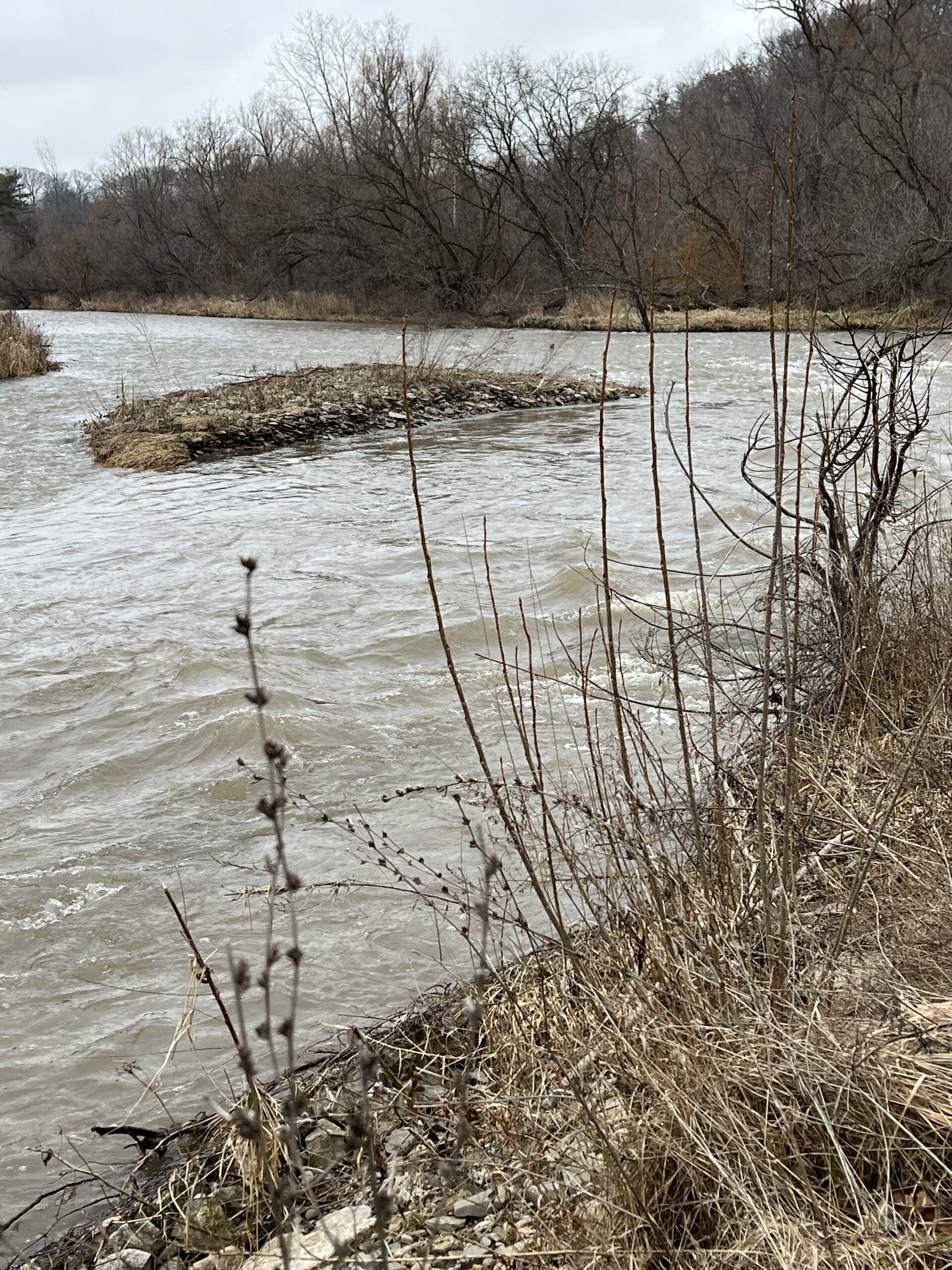
Hiking the Credit
https://hikes.brucetrail.org/event/hiking-the-credit/
Registration Required:
Click here to register for this hike (8 spots remaining)Hosting Club: Iroquoia
Category: Good Companions
Location (Google Maps): Erindale Park/Culham Trail, 1695 Dundas St., MississaugaHike Leader(s): Anne Armstrong Click here to contact Hike Leader(s)
Pace: Leisurely – 3km/hr or less
Terrain: Easy – Mostly flat and usually good footing
Distance: Approx. 9 km.Description
Join in this easy hike which follows the Credit River up to Highway 403. We will then climb a gentle hill to do a loop which then returns us back to the river. Bring a snack, water, insect repellent and sunscreen. Poles for the climb and loop may be useful. I will send an email out the night before with my contact information in the event you need to cancel the night before or the morning of the hike.Evening Hike in Owen Sound followed by an Opportunity for Refreshments
https://hikes.brucetrail.org/event/evening-hike-in-owen-sound-followed-by-an-opportunity-for-refreshments-23/
Registration Required:
Click here to register for this hike (97 spots remaining)Hosting Club: Sydenham
Category: An evening walk.
Location (Google Maps): Meet in the municipal parking lot by the river on the West side of 1st Ave East between 7th St East and 8th St East in Owen Sound.Hike Leader(s): Harriet Nixon Click here to contact Hike Leader(s)
Pace: Brisk: 4 to 5 km/h
Terrain: Moderate: Some hills and/or poor footing
Distance: Approx 5 kmDescription
Join us for a brisk summer evening hike exploring the paths and neighbourhoods within the City of Owen Sound. Please note this month this hike takes place on the second Wednesday evening, so you can enjoy Canada Day on the first Wednesday evening. There is no need to show up 15 minutes early for this hike, but we will leave promptly at 7:00 pm. Following the hike there is an opportunity to socialize over refreshments.