Categories
- 22April 22, 2026
8:30 am Hydro Hill Training
https://hikes.brucetrail.org/event/830-am-hydro-hill-training-10/Sorry, the registration cut-off time for this hike has been reached.Not a member? Click here to join today!Hosting Club: Niagara
Category: In and Out
Location (Google Maps):Lockhart Drive, St Catharines, by the large yellow swing gate.
Hike Leader(s): Suzanne Gourluck Click here to contact Hike Leader(s)
Pace: Brisk 4-5 km/hr
Terrain: Strenuous: hilly, with steep climbs, poor footing
Distance: 6 kmsDescription
This challenging “hike” is intended for those wishing to train for future challenging hikes. Choose your own pace to go up and down the moderately steep hill over 60 minutes. The terrain is a hard packed gravel surface. Feel free to bring light weights to increase the intensity of your training. Bring water, hiking poles, snack and dress for the weather.
Louth Conservation - Citizen Science
https://hikes.brucetrail.org/event/louth-conservation-citizen-science/Sorry, the registration cut-off time for this hike has been reached.Not a member? Click here to join today!Hosting Club: Niagara
Category: Citizen Science
Location (Google Maps): Meet at Louth Conservation Area, 3193 Staff Rd, LincolnHike Leader(s): Margaret Northfield Click here to contact Hike Leader(s)
Pace: Leisurely <3 km/hr
Terrain: Moderate: some hills and some poor footing
Distance: 4-5kmDescription
On this Earth Day, we will look at how anyone can participate in natural science. Which app to use – Seek or inaturalist? Learn how to use your photos to identify plants as well as how you can help scientists with various climate related projects. Be a part of the Bruce Trail Citizen Scientist program.If you want to just hike – that’s fine too but this will be a slower hike due to the focus of plant identification.
Earth Day Hike - Margaret Paull Sidetrail
https://hikes.brucetrail.org/event/earth-day-hike-margaret-paull-sidetrail/Sorry, the registration cut-off time for this hike has been reached.Not a member? Click here to join today!Hosting Club: Blue Mountains
Category: Organized Hike
Location (Google Maps): Tim Horton’s, First Street CollingwoodHike Leader(s): Claire Pearson Click here to contact Hike Leader(s)
Pace: Medium – 3 to 4 km/hr
Terrain: Moderate – Some hills and/or some poor footing
Distance: ~5kmDescription
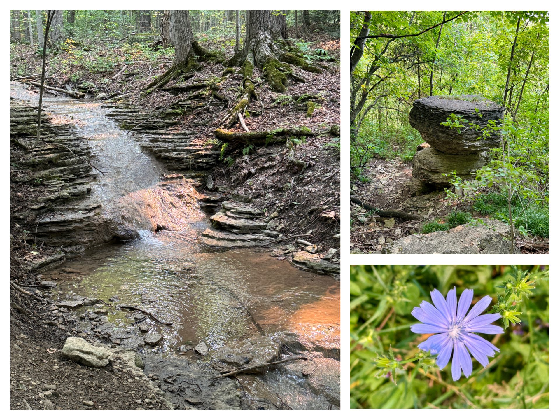
**Update: The trail is wet and muddy in certain areas, so be sure to wear proper footwear (and bring an extra pair of clean shoes for after the hike as we are car-pooling). Hiking poles are always optional, but I found them very helpful this week (especially with all the rain we’ve had).We will meet in the parking lot behind Tim Horton’s. From there we will carpool up Grey Road 119 to 6th line where we will begin our loop hike at the entrance of the Margaret Paull Side Trail. This scenic trail is known for its forested beauty, waterfalls, and flowerpot rock formation. Hiking this is a perfect way to celebrate Earth Day!

Spring Nature Walk: 4th Annual Pools, Ponds & Peepers
https://hikes.brucetrail.org/event/spring-nature-walk-4th-annual-pools-ponds-peepers/Sorry, the registration cut-off time for this hike has been reached.Not a member? Click here to join today!Hosting Club: Caledon Hills
Category: Nature Walks
Location (Google Maps): Location: Meet at roadside parking at the dead end of Boston Mills Rd., about 400 m west of Mississauga Rd. Directions: From Hwy 10 take Boston Mills Rd. 6 km west to the dead end just west of Mississauga Rd. An alternative is to take Mississauga Rd. north from King St. about 3 kms, turn left on Boston Mills Rd. for about 400 mHike Leader(s): Richard Smythe Click here to contact Hike Leader(s)
Pace: Leisurely – 3 km/hour or less
Terrain: Moderate – some hills and/or some poor footing
Distance: 3.8 kmDescription
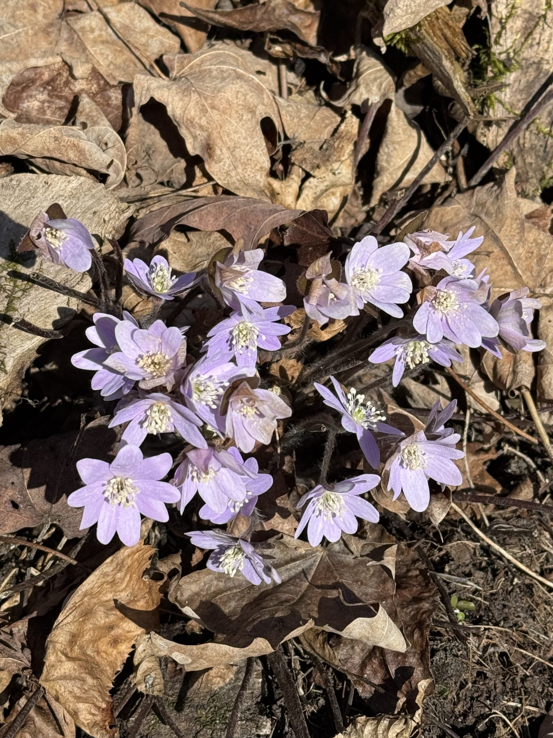
There and back on both the Main Trail and the Rockside Side Trail, about 3.8 km, with some hills and rugged sections. Hiking poles can be a great help. The pace will be slow at times with numerous stops to observe the spring ephemerals, listen to bird song and take photos. Bring your binoculars, camera and cellphone. Apps like Merlin, Seek, and iNaturalist will help identify flora and fauna along the route.Wednesday Walkers Eagle's Summit Loops
https://hikes.brucetrail.org/event/eagles-summit-loops/Sorry, the registration cut-off time for this hike has been reached.Not a member? Click here to join today!Hosting Club: Beaver Valley
Location (Google Maps): Meet in the Beaver Valley Rest Area on Grey Road 13, north of km 50, N.363929, W80.531458. Map 26, Edition 31
Hike Leader(s): Glenda Collings Click here to contact the hike leader.
Pace: Medium
Terrain: Moderate, Some steep sections
Length of Hike: Approx. 6 kmDescription
We will be hiking a series of loops on the recently completed Eagle’s Summit trails, with great views of Beaver Valley and a walk below an amazing rock wall. Bring water and a snack.Please arrive by 9:45 a.m for a 10:00 a.m. start. If you need to cancel please do so online or contact me so we know whether or not to expect you. My cell 519 694 7691.
Seeking Out Spring Ephemerals
https://hikes.brucetrail.org/event/seeking-out-spring-ephemerals/Sorry, the registration cut-off time for this hike has been reached.Not a member? Click here to join today!Hosting Club: Iroquoia
Category: Wildflowers and Spring Ephemerals
Location (Google Maps): Halton Agreement ForestHike Leader(s): Anne Armstrong Click here to contact Hike Leader(s)
Pace: Leisurely – 3km/hr or less
Terrain: Easy – Mostly flat and usually good footing
Distance: Approx 8.5 Km.Description
Please join in this first Spring Ephemeral hike as we search for the first wildflower arrivals of Spring. Depending on when Spring arrives this year we will see some early Spring wildflowers. We will do a “lollipop” hike in the beautiful Halton Agreement Forest with its many hiking and biking trails. Meet at 9:45 am. for a 10:00 am. start in the northeast corner of the Woodbine/Mohawk Casino/Raceway parking lot on the west side of Guelph Line, north of Highway 401. Bring water, sunscreen and a snack. Although generally flat and wide there is one rocky section. I will send out an email the day before the hike with my contact information in the event you cancel the night before or the morning of the hike. Remember to cancel via your BTC account as well.Car Hike: Midweek Fitness Walk Around Island Lake (8.5 km)
https://hikes.brucetrail.org/event/car-hike-midweek-fitness-walk-around-island-lake-8-5-km-4/Sorry, the registration cut-off time for this hike has been reached.Not a member? Click here to join today!Hosting Club: Toronto
Category: Car Hike
Location (Google Maps):Island Lake Conservation Area (Hwy 10 and 4th Ave intersection)
Hike Leader(s): Natalia Svechnikova Click here to contact Hike Leader(s)
Pace: Moderate (3-4 km/hr)
Terrain: Flat
Distance (km): 9 kmDescription
Please join me for an enjoyable fitness walk (which is my first of the season) on a relatively flat and easy trail around the lake in the Island Lake Conservation area. The trail has treed sections as well as boardwalks near the water, meadows and more. I hope that we will see some nice spring flowers along the way. We will keep some steady but still comfortable pace of approximately 3-3.5 km/h. We will have a short break on the picnic area after about 6 km. Please dress for the weather and bring 2 L of water and some snacks/light lunch. We will meet at the start of the trail (near the large trail map) at 4th Ave and Hwy 10 intersection. You can park anywhere at the Zehrs Orangeville, Winners or Mark’s parking lot which is just across Hwy 10.Update from April 20, 3 pm: There is a construction affecting a section of the loop hike we are planning to hike. This section (and a boradwalk are closed). The entrance to the trail from the 4th Ave and Hwy 10 is accessible for hikers. We can park as I suggested near Zehrs and meet as planned at the start of the trail near the map; however, we cannot hike in a loop but would have to retrace our route back.Please see the notice for your info: https://cvc.ca/park-advisories/?filter_park=island-lake