Categories
- 08February 8, 2026
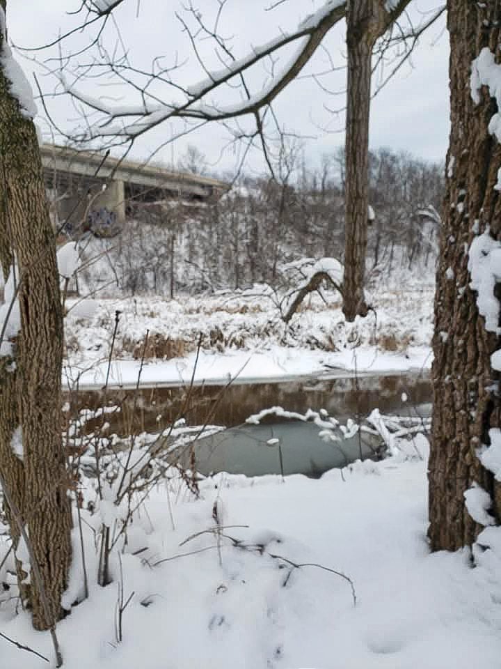
Sunday at the Marsh - Hendrie Valley and Woodland Cemetery
https://hikes.brucetrail.org/event/sunday-at-the-marsh-hendrie-valley-and-woodland-cemetery/Sorry, the registration cut-off time for this hike has been reached.Not a member? Click here to join today!Hosting Club: Iroquoia
Category: General Hike
Location (Google Maps): RBG Centre Parking – across from Easterbrook’s 694 Spring Gardens RoadHike Leader(s): Kathrin Koenig Click here to contact Hike Leader(s)
Pace: Medium – 3 to 4 km/hr
Terrain: Dependent on Conditions, Moderate – Some hills and/or some poor footing, Slippery and Steep Sections
Distance: Approx 7 kmDescription
Please be at parking by 8:15 am as the hike will leave promptly at 8:30 am.Please bring your poles and icers; dress in layers to keep warm. Bring enough water and snacks to suit your needs.
We will start by following the outer road at Woodland Cemetery and pick up Grindstone Marsh Trail at Sunfish Pond. Following Grindstone Marsh Trail into Hendrie Valley, we will loop our way along the North and South Bridle Trail to Cherry Hill Gate and back to the cars. There is a set of stairs, one steep downhill section, and a couple of smaller hills. Be prepared for some potentially icy conditions. Please bring your icers/crampons just in case.
Please leave dogs at home.
Easterbrook’s Hot Dog Stand is open all winter for anyone wishing to stop in for a bite to eat.
Please note, the hike might be canceled due to extreme weather, or unsafe trail conditions. A cancellation email will be sent to all registered hikers.
Any questions may be directed through contact on this form.
In the event you are no longer able to attend, please remove yourself from registration by following these steps:
– Sign into your account on the BTC website
– Click on My Hikes under your account
– This will take you to a list of hikes you have registered for
– Scroll down to the appropriate hike and cursor over to the far right hand column under the Action column.
– Click Cancel under the hike you wish to cancel
Frosty Five Weekend - Hike Five
https://hikes.brucetrail.org/event/frosty-five-weekend-hike-five/Sorry, the registration cut-off time for this hike has been reached.Not a member? Click here to join today!Hosting Club: Caledon Hills
Category: General
Location (Google Maps): Meet north of the intersection of Cataract Road and Mississauga Road at the Elora Cataract Trailway Trail Head. Google Coordinates: 43.813120, -80.028656.Directions: From ON-10 head west on Charleston Sideroad/Peel Regional Rd. 24 for 5.5 km. Turn left onto Mississauga Rd. and drive for 1.0 km. Park on west shoulder.
Hike Leader(s): Sandy Green Click here to contact Hike Leader(s)
Pace: Medium – 3 to 4 km/hour
Terrain: Moderate – some hills and/or some poor footing
Distance: 11 kmDescription
Beat the winter blues! Register individually for one, a few, or all of the Frosty Five Blues hikes. Participants who complete all five hikes are eligible to receive a CHBTC Winter badge and a Sideways badge on the final hike. Hike Five explores the trails within the Forks of the Credit Provincial Park. Bring your choice of hydration and snacks. Hiking boots and icers/crampons are required. (Note: If you wish to purchase badges, the cost of each badge is $10.00 for BTC members and $15.00 for non-members.) Everyone is welcome to join!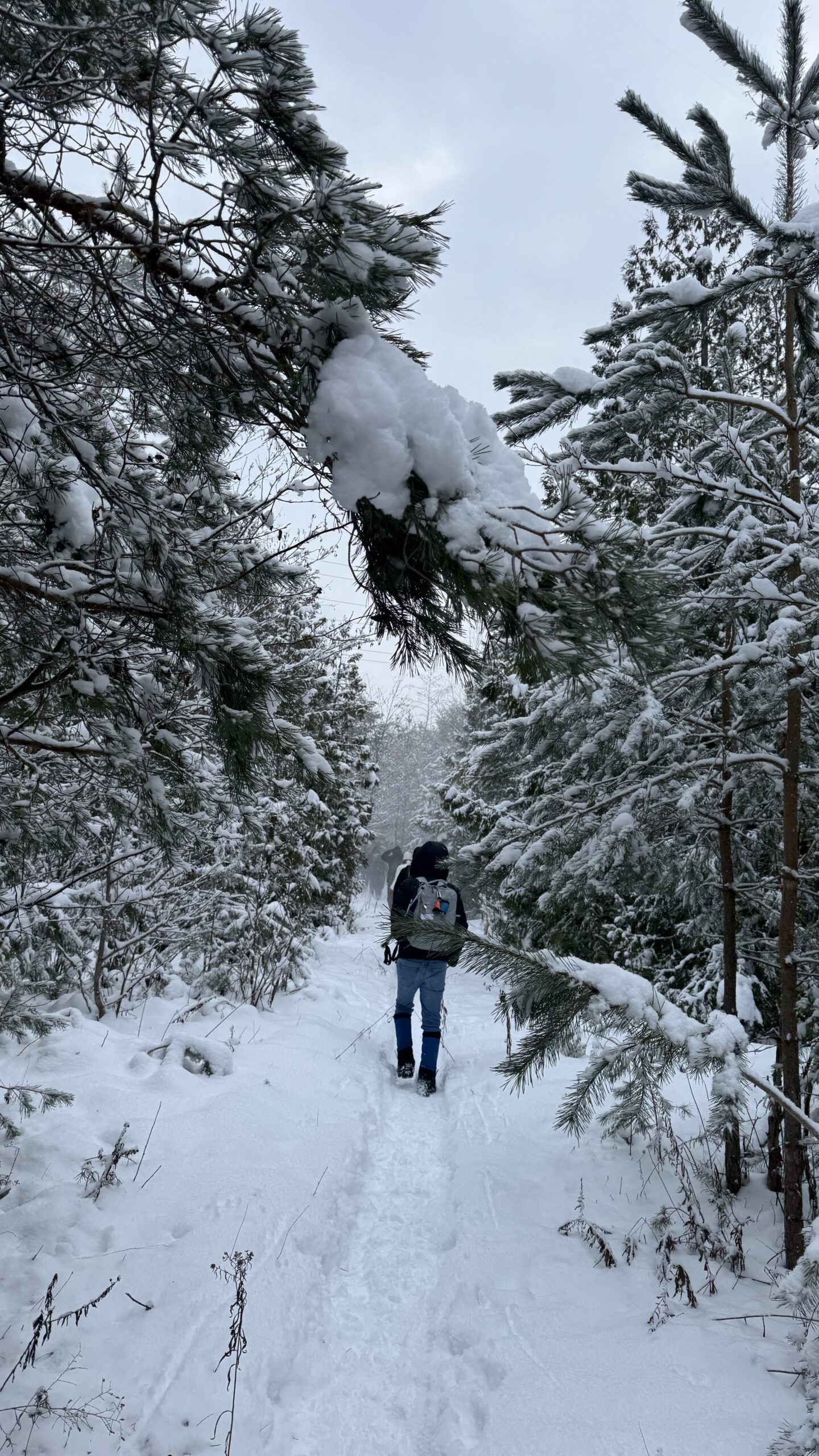
Car Hike: Jefferson Forest (Richmond Hill)
https://hikes.brucetrail.org/event/car-hike-jefferson-forest-richmond-hill-4/Sorry, the registration cut-off time for this hike has been reached.Not a member? Click here to join today!Hosting Club: Toronto
Location (Google Maps):
1245 Bethesda Side Rd, Richmond Hill, ON L4E 1A2 ( Bethesda Trail Head Parking lot)
Hike Leader(s): Amir Alemohammad Click here to contact Hike Leader(s)
Pace: Moderate (3-4 km/hr)
Terrain: Flat, Hilly, Level 2 (Intermediate – some hills and uneven surfaces, rocks and roots underfoot), Variable
Distance (km): 10-12 kmDescription
Let’s roll the hills of the Jefferson Forest this winter! Every weekend, we’ll explore the winter wonderland at this beautiful park. Located in the heart of Richmond Hill, it boasts numerous hiking trails. This 3-hour hike can range from 10 to 12 kilometres, depending on the weather conditions. Remember to bring water, snacks, hiking boots, icers, poles, and your camera. Not recommended for beginners. Park in the free Bethesda parking lot and avoid parking along the road. Dress appropriately for the weather. Difficulty Level: 2 (Moderate).Please arrive @8:45AM for start of 9:00AM.
This is a joint hike with the Oak Ridges Trail Association (ORTA).
Car Hike: Hike #3 of 5 to earn the Toronto Side Trails Badge!
https://hikes.brucetrail.org/event/car-hike-hike-3-of-5-to-earn-the-toronto-side-trails-badge/Sorry, the registration cut-off time for this hike has been reached.Not a member? Click here to join today!Hosting Club: Toronto
Category: Car Hike
Location (Google Maps): We will meet at the Trafalgar & 401 Commuter Lot (43.571569, -79.831797) and then carpool to the start of each hike.Hike Leader(s): Monica Pasquali; Marina Wray Click here to contact Hike Leader(s)
Pace: Leisurely (2-3 km/hr), Moderate (3-4 km/hr)
Terrain: Level 2 (Intermediate – some hills and uneven surfaces, rocks and roots underfoot)
Distance (km): 9.24 kmDescription
This is the third in a series of five hikes that will be offered approximately one Sunday per month so that participants can earn the Toronto Side Trails Badge during the winter and early spring. Each out-and-back hike will cover a distance of 8-11 km and be hiked at a leisurely to moderate pace (approximately 3 km/h). Please note that the hikes will be posted separately on the BTC calendar – you will have to register for each hike that you’re interested in joining.For this second hike we will explore two side trails in the Toronto section of the Bruce Trail: the Bennett Heritage Trail and the Maureen Smith Side Trail.
Please dress appropriately for a winter hike by dressing in layers (wear an inner layer that wicks sweat away from your skin, a middle layer that keeps you warm, and an outer layer that protects you from wind and snow), wearing gloves/mittens and a toque, and wearing warm and comfortable footwear that has good traction in snow/ice (icers placed over your boots work great!). Hiking poles or walking sticks are an asset since they will help keep you balanced if the ground is slippery. As well, make sure you bring enough water and food for a 3-4 hour hike since we’ll be covering a total distance of 9.24 km over terrain that has some hills and exposed rocks.
Since parking might be limited at the places we’ll be hiking in this hike series, we will meet at the Trafalgar & 401 Commuter Lot (43.571569, -79.831797) and then carpool to the start of each hike. Please be prepared to participate in each carpool by ensuring you have space in your car if you are not already carpooling with others to the Commuter Lot meeting point.
After the hike, interested participants can join me at the Tim Horton’s on Trafalgar Road just a bit south of Highway 401 for some post-hike refreshment.
Looking forward to exploring some of Toronto’s side trails with you!
CANCELLED - Caledon North
https://hikes.brucetrail.org/event/caledon-north/Sorry, the registration cut-off time for this hike has been reached.Not a member? Click here to join today!Hosting Club: Iroquoia
Category: General Hike
Location (Google Maps): Meet in the parking lot at the Mono Centre Park at 9:15 amHike Leader(s): Karen Bergmann Click here to contact Hike Leader(s)
Pace: Medium – 3 to 4 km/hr
Terrain: Moderate – Some hills and/or some poor footing
Distance: 8 kmsDescription
Meeting at 9:15 am in the parking lot of Mono Centre Community Centre, we will hike the main trail and around the Turnbull, Springwater, Whitetail Refuge and Third Outlier Side Trails and back along the main trail into Mono Cliffs to the Laidlaw Side Trail to the cars. Bring icers for your boots. Hike is dependent on weather.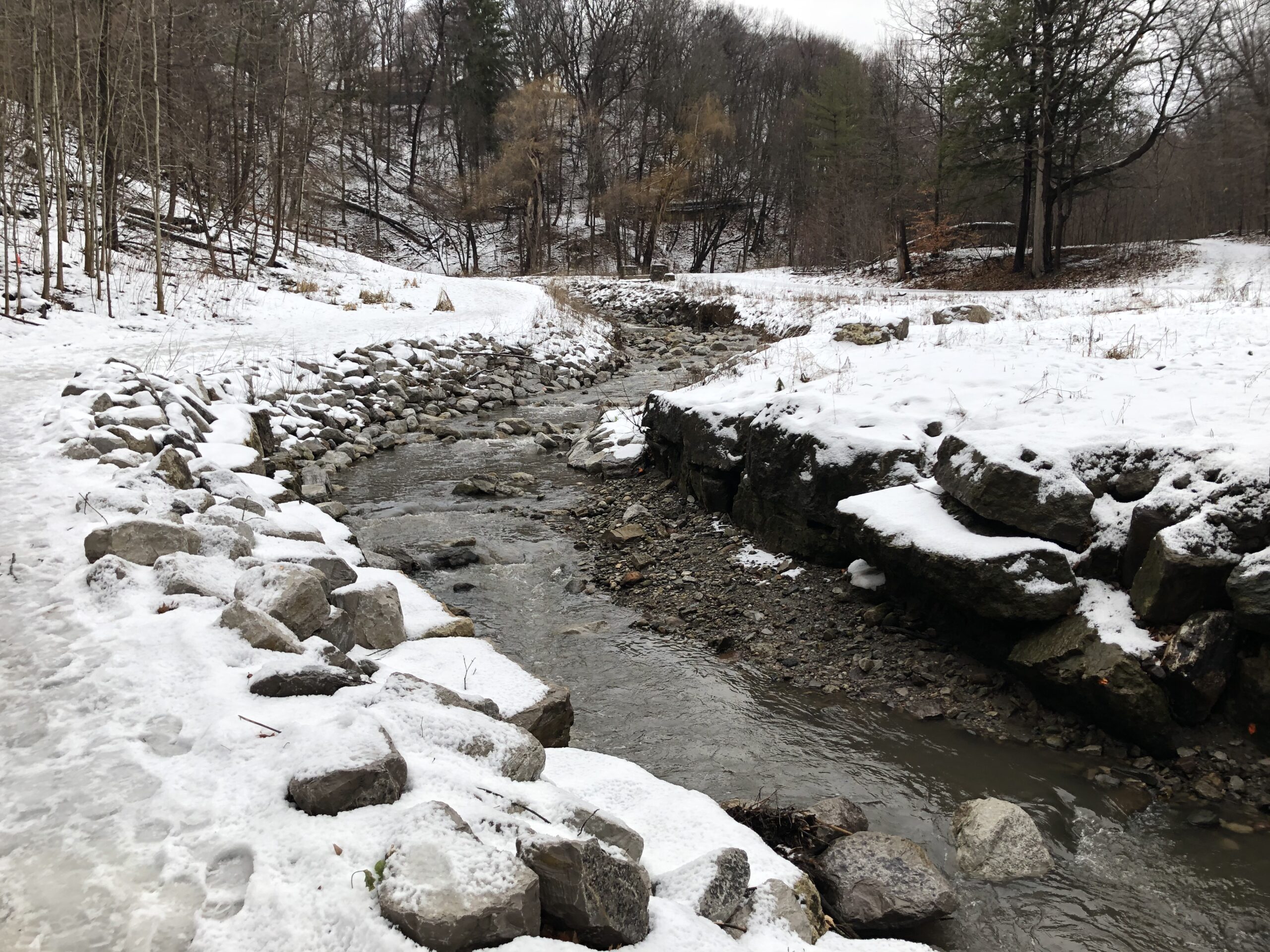
Urban Walk: Rosedale Ravines
https://hikes.brucetrail.org/event/urban-walk-rosedale-ravines-4/Sorry, the registration cut-off time for this hike has been reached.Not a member? Click here to join today!Hosting Club: Toronto
Category: Urban Walk
Location (Google Maps):Meet Pleasant Blvd Exit, St Clair Subway Station
Hike Leader(s): Tom Swales Click here to contact Hike Leader(s)
Pace: Moderate (3-4 km/hr)
Terrain: Level 1 (Easy – mostly on flat, well maintained trails with hard-packed surface), Level 2 (Intermediate – some hills and uneven surfaces, rocks and roots underfoot), Variable
Distance (km): 10 kmDescription
Join us for a morning circular walk through David Balfour Park, Park Drive Reservation, the Evergreen Brickworks, Moore Park Ravine and Mount Pleasant Cemetery. On this walk we find nature close to the heart of the city.
Porcupine Hill Land Steward Snow Shoe
https://hikes.brucetrail.org/event/porcupine-hill-land-steward-snow-shoe/Sorry, the registration cut-off time for this hike has been reached.Not a member? Click here to join today!Hosting Club: Peninsula
Category: Winter Hikes
Location (Google Maps): **Snow Shoe Hike** Meet at Borchardt Parking Lot by Devil’s Monument on Cape Chin N.Hike Leader(s): Tamara Wilson Click here to contact Hike Leader(s)
Pace: Leisurely (2.0 – 3.0 km/h): A relaxed pace with frequent breaks and a focus on enjoyment.
Terrain: Difficult: Steep ascents/descents, rocky scrambling, and some rugged escarpment paths.
Distance: 4 kmDescription
Proceed South on the Main Trail off the parking lot until we reach the unmarked Land Steward access Trail which goes to the back of the Bruce Trail’s 100 acre Cape Chin Woods. Show shoers will proceed through towering beech, popular, maple and cedar forests to Porcupine Hill that marks the back of the property. In and out is approximately 4 km. Bring your own snow shoes and poles or contact Sun Trails in Hepworth for rentals (at your expense). Note: this is not an official Bruce Trail and only accessible in winter. This is an unmarked Trail which will be lead by the Land Steward of Cape Chin Woods, Tim Wilson. The Parking will be free at this time of year. This may be strenuous depending on the amount of snow. There is no option for hiking – this will be a snow shoe. Approximately 2 hours, Bring your lunch and warm up with a hot beverage together afterwards.Frank Holley Loop
https://hikes.brucetrail.org/event/frank-holley-loop/Sorry, the registration cut-off time for this hike has been reached.Not a member? Click here to join today!Hosting Club: Sydenham
Category: Snowshoe Hike
Location (Google Maps): km 115.6 on Map 33 of Edition 31 The Bruce Trail Reference. Roadside parking on East Linton Side Rd. W at base of hill where road turns to the right.
For a map that opens on your device, click the (Google Maps) link in this Location description. If needed the copy-ready GPS coordinates of the Meet and Park Location are:
44.64257, -80.964331Hike Leader(s): Danuta Valleau Click here to contact Hike Leader(s)
Pace: Leisurely: 3 km/h or less
Terrain: Moderate: Some hills and/or poor footing
Distance: 2 kmDescription
This short loop hike will take us along the base of the escarpment through several rock crevices and returns along the top of the escarpment to the parking area. Features include huge blocks of dolostone on the talus slope, rich in fossils, as well as evidence of early settlers. Bring poles or walking sticks if you have them, snowshoes if there’s enough snow, and/or icers.