Categories
- 17October 17, 2026
The Frontenac Challenge
https://hikes.brucetrail.org/event/the-frontenac-challenge-multi-day-hike-2/This is a Multi-Day Hike
You are signing up for the following dates and times:
2026-10-17 at 01:00
2026-10-18 at 08:00
2026-10-19 at 08:00
2026-10-20 at 08:00
2026-10-21 at 08:00
2026-10-22 at 08:00
2026-10-23 at 09:00
Registration Required:
Click here to register for this hike (6 spots remaining)Hosting Club: Toronto
Category: Car Hike
Location (Google Maps): We meet at Snug Harbour Resort We drive to the parking area for hiking.Hike Leader(s): Fayyaz Mahmood Click here to contact Hike Leader(s)
Pace: Brisk (4-5 km/hr)
Terrain: Challenging, Level 3 (Advanced – steep hills and some scrambling over boulders)
Distance (km): 140 KMDescription
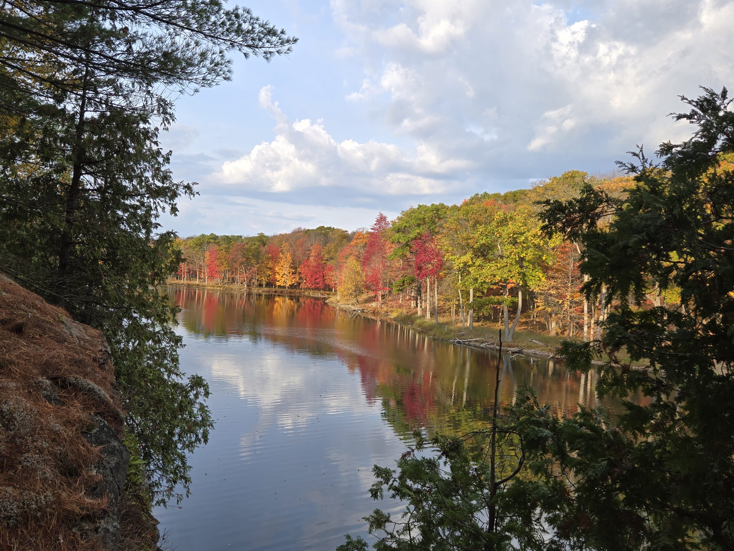
Frontenac Park is located near Kingston about 3-4 hours from Toronto. According to Parks Ontario, the Frontenac Challenge is the ultimate hiking challenge in Ontario! To qualify for the ‘Frontenac Challenge’ badge you need to complete all of Frontenac’s 11 hiking loops, totaling around 140 km!The Frontenac Challenge is managed jointly by Parks Ontario and the Friends of Frontenac. You can find details about the Frontenac challenge at –
https://www.ontarioparks.com/parksblog/frontenac-challenge/
https://www.friendsoffrontenac.com/challenge-registration
BOARDING & LODGING:
You are responsible for arranging your own food and accomodation. Most often participants find it convenient and cost-effective to stay at Snug Harbour Resort, a short distance from the park. Snug Harbour has put aside some Cabins at the reduced rate of $120 per day. When you book let them know that you are a member of the Bruce Trail and hiking the Frontenac Challenge. The accommodation is shared (about 4 – 6 persons). You are responsible for arranging your accommodation. Often there are opportunities for joining others in renting a cabin and jointly preparing meals.CARPOOL:
You should arrange for carpool as the park charges for day use parking. Cars must be pre-registered for parking to save time. If you use carpool, you should expect to pay the drivers.HIKING
These hikes are for serious hikers only. You will be walking 140 KM in 7 days on rough terrain.
You should be prepared for long hiking days. No drop-outs. You should bring your lunch and enough water. You should dress for the weather.Additional information will be provided to participants nearer to the event.
Only a limited number of spaces are available.
Six Pack Of Blue – Hike 6 of 6
https://hikes.brucetrail.org/event/six-pack-of-blue-hike-6-of-6/
Registration Required:
Click here to register for this hike (7 spots remaining)Hosting Club: Blue Mountains
Category: End-to-End
Location (Google Maps): Tim Horton, First Street, CollingwoodHike Leader(s): Rob Johnston Click here to contact Hike Leader(s)
Pace: Medium – 3 to 4 km/hr
Terrain: Moderate – Some hills and/or some poor footing
Distance: 13.2Description
Please join us for the Six Pack Of Blue! This is an End-to-End of the Blue Mountains section of the Bruce Trail completed in 6 hikes – see below for dates. You can do as many of the six hikes as you wish. Hike distances in this six-hike series range from 8 km to 14.6 km. This is the final hike of the series Hike #6. The route is from Petun CA Parking Lot to Maple Lane in Swiss Meadows, covering approximately 13.2 km. The pace will be 3–4 km/hour, and all hikers must be able to maintain this speed. The terrain is hilly with uneven, rocky footing. Sturdy hiking footwear is required, and hiking poles are recommended. Please bring water and a snack. Due to limited parking at trailheads, this hike will involve a car shuttle. All hikers are expected to carpool and share the associated costs. Arrive at the meeting location by 8:15 a.m. The car shuttle will depart promptly at 8:30 a.m. Further details will be provided to registered hikers a few days before the hike.Please refer to each individual hike date as outlined below for specific details of that hike. Register for each hike you plan to attend.
The hikes are on the following dates:
20 June 2026
27 June 2026
12 Sept 2026
19 Sept 2026
26 Sept 2026
17 Oct 2026
Beaver Valley E2E in 8 - Hike 8
https://hikes.brucetrail.org/event/beaver-valley-e2e-in-8-hike-8/Hike open to BTC Members only.
REGISTRATION FULL: This hike has reached the maximum number of hikers.
Click here to be added to the Wait List.Hosting Club: Iroquoia, Beaver Valley
Category: General Hike
Location (Google Maps): BTC parking area east side of Grey Road 12 where the main trail crosses.Hike Leader(s): Pati Greenwood, Jeff Dowsett Click here to contact Hike Leader(s)
Pace: Medium – 3 to 4 km/hr
Terrain: Moderate – Some hills and/or some poor footing, Strenuous – Hilly with steep climbs and some poor footing
Distance: 11.5 kmDescription
This is the 8th and final hike of the End-to-End hike series to complete the Beaver Valley section of the Bruce Trail in 8 hikes. Hikers who compled the entire series will be eligible to obtain an end-to-end badge from the BTC Beaver Valley Club.Since this is a group hike, please consider your fitness level before registering. This section of the trail has numerous hills and rough terrain in spots. We will be walking at a pace of 3km – 4km per hour and hikers will need to keep up with the person in front of them for the duration of the hike. The hike series will also involve car shuttles and every hiker is expected to participate as drivers.
Weather conditions in the late summer can still be quite warm, but the hike schedule will extend to mid-October so it’s best come prepared for varying weather conditions. Hiking boots are required and hiking poles are strongly recommended. Bring plenty of fluids and a snack. Insects and ticks will still be active at this time of year, long pants and long sleeves are recommended as is insect repellent.
Specific hike details will be provided to registered hikers a few days prior to each hike.
Car Hike: Happy Valley
https://hikes.brucetrail.org/event/car-hike-happy-valley-5/
Registration Required:
Click here to register for this hike (25 spots remaining)Hosting Club: Toronto
Location (Google Maps): Happy Valley, Oak Ridges Trail 16th Sideroad & Weston Road
Please park along 16th Side road
Hike Leader(s): Mohammad Aghamiri Click here to contact Hike Leader(s)
Pace: Moderate (3-4 km/hr)
Terrain: Hilly, Level 2 (Intermediate – some hills and uneven surfaces, rocks and roots underfoot), Variable
Distance (km): 14-15 kmDescription
Come and join us to view nice scenery and look outs of Happy valley