Categories
- 26August 26, 2025
8:00 Long Hike Wiley Road Short Hills
https://hikes.brucetrail.org/event/800-long-hike-wiley-road-short-hills-10/Sorry, the registration cut-off time for this hike has been reached.Not a member? Click here to join today!Hosting Club: Niagara
Location (Google Maps):
Short Hills Wiley Road Entrance
Pace: Medium
Terrain: Moderate
: 10kmDescription
Explore Short Hills and the majestic side trails of Scarlett Tanager, Hemlock. Swayze Falls and Terrace. Register for each hikeBring Poles, Sun Screen Bug Spray, snack, and dress for the weather
Car Hike: Dufferin E2E 2/4
https://hikes.brucetrail.org/event/car-hike-dufferin-e2e-2-4/Sorry, the registration cut-off time for this hike has been reached.Not a member? Click here to join today!Hike open to BTC Members only.
Hosting Club: Toronto
Category: Car Hike
Location (Google Maps): Km 28.3, 1st Line E coordinates N 44.148246,W 80.118529 map 20Hike Leader(s): Smadar Junkin Click here to contact Hike Leader(s)
Pace: Brisk (4-5 km/hr)
Terrain: Challenging, Hilly
Distance: 14.2 km.Description
Second hike of the series to complete the Dufferin section. Please be in the parking area at 8;15 and be ready to shuttle by 8:30. Bring 2 litres of water, food, bug repellent, sun screen. Hiking boots. We will shuttle to km 14.1 and walk back. Everyone is expected to participate in the car shuttle during the 4 days hike.Urban Walk: Valley View Park Thornhill
https://hikes.brucetrail.org/event/urban-walk-valley-view-park-thornhill-96/Sorry, the registration cut-off time for this hike has been reached.Not a member? Click here to join today!Hosting Club: Toronto
Location (Google Maps): Parking lot is off Sycamore Drive East of Bayview , across Starbucks plaza
Bus 91 from Finch east station stops at Sycamore station.Hike Leader(s): Mohammad Aghamiri Click here to contact Hike Leader(s)
Pace: Moderate (3-4 km/hr)
Terrain: Hilly, Level 2 (Intermediate – some hills and uneven surfaces, rocks and roots underfoot), Variable
Distance: 6-7 kmDescription
We will explore Valleyview and Maple View parks, and walk along German Mill Creak, in return we stop in Huntington park and have snack under beautiful shed ,Even it is considered Urban walk, it is urban hike as we have some up and down hills and tree roots, please bring your hiking poles, water and snacks,
phone number for the day of hike 289 588 6482
9:15 Short Hike - Short Hills Park, Pelham Rd
https://hikes.brucetrail.org/event/915-short-hike-short-hills-park-pelham-rd-26/Sorry, the registration cut-off time for this hike has been reached.Not a member? Click here to join today!Hosting Club: Niagara
Category: Hike
Location (Google Maps): Pelham Rd entrance, Short Hills Provincial ParkHike Leader(s): Debbie Demizio Click here to contact Hike Leader(s)
Pace: Medium
Terrain: Moderate
Distance: ~ 6kmsDescription
Hike the main and side trails in Short Hills Provincial Park. Bring hiking boots, water, sunscreen, and bug spray.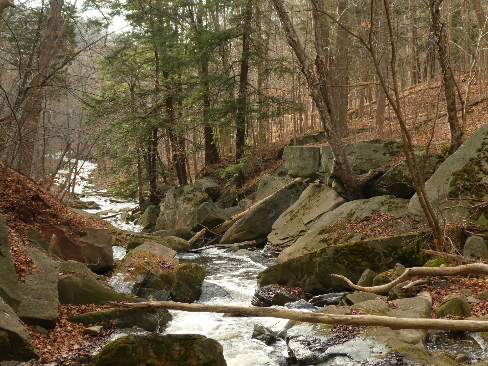
Grindstone Creek (Waterdown) to Hopkins Corners (E2E)
https://hikes.brucetrail.org/event/grindstone-creek-waterdown-to-hopkins-corners-e2e/Sorry, the registration cut-off time for this hike has been reached.Not a member? Click here to join today!Hosting Club: Iroquoia
Category: General Hike
Location (Google Maps): Meet at 9:15 am in the parking lot at Hopkins Corners on York Rd.Hike Leader(s): Karen Bergmann Click here to contact Hike Leader(s)
Pace: Medium – 3 to 4 km/hr
Terrain: Moderate – Some hills and/or some poor footing
Distance: 10 kmsDescription
Meet at 9:15 am in the Borer’s Falls dog park parking lot on York Rd. We will carpool to Waterdown (Great Falls) and hike back along the main trail and then the Ray Lowes Side Trail back to the cars. Bring bug spray/bug net and plenty of water. There are some hills and technical (rocky) parts to this hike. Bring a snack as needed.Black Bank - Dufferin
https://hikes.brucetrail.org/event/black-bank-dufferin/Sorry, the registration cut-off time for this hike has been reached.Not a member? Click here to join today!Hosting Club: Caledon Hills
Category: Tuesday Hikers
Location (Google Maps): Meet at the corner of Prince of Wales Rd. and 20 Sideroad. Map 21, km 40.7. Possible to come from the south on Prince of Wales Rd. but I suggest a simpler route is — drive north on Hwy 10. At Primrose turn left and then after 4 km (before entering Shelburne) turn right on Hwy 124. Follow 124 north for 15 km then turn right on Road 21 toward Honeywood. Pass through Honeywood and then turn right on Prince of Wales Rd. Follow 3 km to roadside parking at 20 Sideroad. GPS coordinates are of course part of the hike description if you like to do things that way. Some directions might refer to the county of “Mulmur” instead of “Honeywood”.Hike Leader(s): Peter Leeney Click here to contact Hike Leader(s)
Pace: Medium – 3 to 4 km/hour
Terrain: Moderate – some hills and/or some poor footing
Distance: 12 kmDescription
This is car shuttle hike. From our meeting place at km 40.7, map 21 we will do a shuttle north to the parking lot at 30 Sideroad and 1st Line EHS. Note 10 am start time.