Categories
- 02August 2, 2025
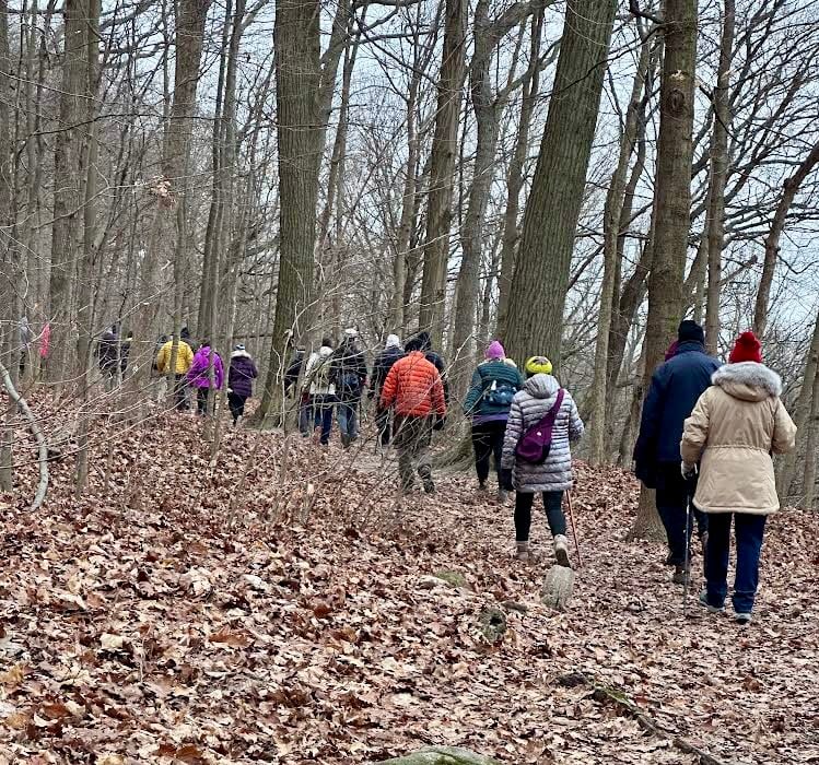
School Bus Hike: Northern Rouge National Urban Park - Central Trail (Markham)
https://hikes.brucetrail.org/event/school-bus-hike-northern-rouge-national-urban-park-central-trail-markham/Sorry, the registration cut-off time for this hike has been reached.Not a member? Click here to join today!Trip Information
Departure Time: 08:30
Return to City Time: 17:00
Departure Point: York Mills Bus PickupOptional Items
Unionville GO Station Pick-up ($0.01)Hosting Club: Toronto
Category: Bus Hike
Location (Google Maps):Northern Rouge National Urban Park
Hike Leader(s): Celia Ho, Tom Swales Click here to contact Hike Leader(s)
Pace: Moderate (3-4 km/hr)
Terrain: Flat
Distance: 9.1 or 13.7 kmDescription
We will explore the northern section of the Rouge National Urban Park, in the section of the park in Markham, starting at the Black Walnut Day Use Area. We will explore the Central Trail.The meeting point will be the York Mills Bus Pickup location. There is an additional pickup location at Unionville GO Station – select that option when registering if you would like to be picked up there.
The meeting time is 8:30 AM at the York Mills pickup location and 8:45 AM at the Unionville GO Station pickup location.
This will be a relatively easy and leisurely hike. The terrain is relatively flat. The surface condition consists of compacted granular trails. The pace will be a moderate pace of 3-4 km/hr.
Depending on time and weather conditions we will cover 9.1 km (drop-out point) or 13.7 km.
After the hike there will be a stop at the Sunflower Fields of Markham. You need to bring $7 cash for the ticket and the hike leaders will purchase the tickets for the group at the gate. This is a discounted price.
The trip ends with a refreshment stop at Historic Main Street Unionville.
Hike 5 Blue Mountain Series 6 Hikes
https://hikes.brucetrail.org/event/hike-5-blue-mountain-series-6-hikes/Sorry, the registration cut-off time for this hike has been reached.Not a member? Click here to join today!Hosting Club: Dufferin Hi-Land
Category: General Hike
Location (Google Maps): We will now meet at the parking lot at Pretty River Rd N 44.430927, W 80.275390 then car pool up to the start at the parking area on 2nd line at the Black Ash Creek Side Trail Map 23. N44.449741, W 80.307524Today we will be hiking from north to south the reverse of our original plan.
The change will reduce the overall distance of this hike by 2 km today. We will add that to the next hike.
Please note the parking lot on 2nd line is managed by the Petune Conservation area and there is a charge to park there. Information on the parking app and charges available at nvca.on.ca
Note we will only leave 2 cars in the 2nd line lot as we are car pooling up to this lot to start the hike.
Hike Leader(s): Patrcia Foley and Tristan Goguen Click here to contact Hike Leader(s)
Pace: Medium
Terrain: Moderate
Distance: 8.4 KmDescription
Hike 5: We will car pool back to the parking lot on 2nd line at the Black Ash Creek Side Trail. Today we will hike from North to South through the Petun Conservaton Area and the Pretty River Provincial Park . We will have the opportunity to catch some views of Georgian Bay and possibly Collingwood from the top of Osler Bluffs. Also we will pass the highest point on the Bruce Trail today.We may encounter some muddy sections and possibly some mountain cyclists who share some of the trails in the Park. Bug spray, sunblock and sturdy hiking shoes/boots are recommended. Bring sufficient water and lunch. Note this is a car pool hike, registration is limited and the hike leaders will have 2 dogs with them.
Car Hike: East Point Park Bird Sanctuary, Scarborough, ON
https://hikes.brucetrail.org/event/car-hike-east-point-park-bird-sanctuary-scarborough-on-4/Sorry, the registration cut-off time for this hike has been reached.Not a member? Click here to join today!Hosting Club: Toronto
Location (Google Maps): East Point Park Bird Sanctuary, Scarborough, Ontario, free parking lot
Hike Leader(s): Mohammad Aghamiri Click here to contact Hike Leader(s)
Pace: Moderate (3-4 km/hr)
Terrain: Flat, Level 2 (Intermediate – some hills and uneven surfaces, rocks and roots underfoot), Variable
Distance: 14-15 kmDescription
We will hike along lake Ontario to Scarborough Bluffs.Please bring hiking poles, proper closing and shoes and lots of water and smile,
For the day of hike phone number 289 588 6482
Louth Conservation Area
https://hikes.brucetrail.org/event/louth-conservation-area/Sorry, the registration cut-off time for this hike has been reached.Not a member? Click here to join today!Hosting Club: Niagara
Category: Loop
Location (Google Maps): Meet in Louth Conservation Area, Staff Rd, LouthHike Leader(s): Margaret Northfield Click here to contact Hike Leader(s)
Pace: Medium
Terrain: Moderate
Distance: 8-10kmDescription
Meet in Louth Conservation Area and tour around this beautiful park.Geology Hike Badge Hike #4/8 Fox Ridge and McClusky’s Rock:
https://hikes.brucetrail.org/event/geology-hike-badge-hike-4-8-fox-ridge-and-mccluskys-rock/Sorry, the registration cut-off time for this hike has been reached.Not a member? Click here to join today!Hosting Club: Blue Mountains
Category: Organized Hike
Location (Google Maps): Tim Horton’s, First Street, CollingwoodHike Leader(s): Annette Sandberg Click here to contact Hike Leader(s)
Pace: Medium – 3 to 4 km/hr
Terrain: Moderate – Some hills and/or some poor footing
Distance: 8.5Description
Fox Ridge and McClusky’s Rock: Badland at Stop 4 (Pages 72/73) Queenston Shale is the bottom-most layer of the Niagara Escarpment. Where vegetation is removed, the shale appears as a “badland”. The brick-red shale has long been excavated along the Niagara Escarpment to make bricks.