Categories
- 27April 27, 2025

Car Hike: Northeast Trail in Rouge National Urban Park
https://hikes.brucetrail.org/event/car-hike-northeast-trail-in-rouge-national-urban-park/Sorry, the registration cut-off time for this hike has been reached.Not a member? Click here to join today!Hosting Club: Toronto
Category: Car Hike
Location (Google Maps): Rouge National Urban Park, Black Walnut Day Use Area, Parking Lot
7445 Elgin Mills Rd E, MarkhamHike Leader(s): Kerry Seong, Jacquie Van Dyke Click here to contact Hike Leader(s)
Pace: Moderate (3-4 km/hr)
Terrain: Flat, Variable
Distance: 10.7 KMDescription
Please join us a car hike on Northeast Trail in Rouge National Urban Park. This trail passes through a variety of landscapes such as wetlands, forests, meadows, and farmland. Along the route, we will find seven boardwalks, including a pergola seating area with views of a marsh. Constructed with a durable fiber-glass substructure designed to last for centuries, these boardwalks represent one of Rouge National Urban Park’s latest eco-friendly projects.This is a shuttle hike from Glasgow Trailhead to Black Walnut Day Use Area.
Please
- be prepared to use your vehicle to transport hikers
- bring a garbage bag for your dirty boots and clean footwear to change into for the ride back the start. We will leave those things in the cars at the start so you don’t have to carry them on the hike.
- wear a comfortable boots and layers for the weather.
- pack hiking poles, icers, bug spray and sunblock.
- bring 2 L of water, snack/lunch.
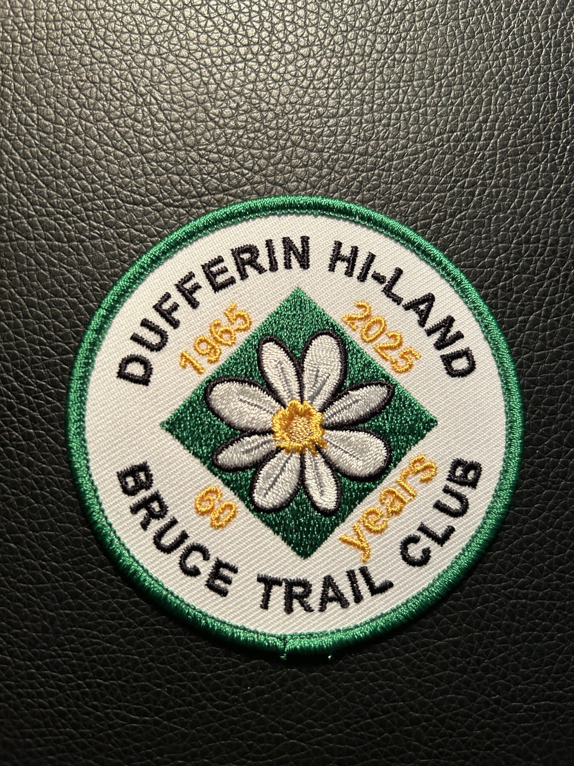
Dufferin Hi-Land 60th Anniversary Badge End-to-End Hike #3
https://hikes.brucetrail.org/event/dufferin-hi-land-60th-anniversary-badge-end-to-end-hike-3/Sorry, the registration cut-off time for this hike has been reached.Not a member? Click here to join today!Hosting Club: Dufferin Hi-Land
Category: Special Events
Location (Google Maps): Roadside parking on the south side of 30 Sideroad, west of where the Main Trail meets the road. Please park 60 metres away from private driveways. BTC Map 20. Km 12.2.Hike Leader(s): Stuart Law Click here to contact Hike Leader(s)
Pace: Medium
Terrain: Moderate
Distance: 14.1Description
Join us on the third of four hikes to cover the necessary 60 kms of the Dufferin Section in 2025 to earn the coveted Dufferin Hi-Land 60th Anniversary Badge. This is a shuttle hike from 2nd Line E to 30 Sideroad. Please be prepared to use your vehicle to transport hikers and please bring a garbage bag for your dirty boots and clean footwear to change into for the ride back to the start. We will leave those things in the cars at the start so you don’t have to carry them on the hike. Please make sure you are wearing comfortable boots and layers for the weather. Please pack your icers just in case as well as bug spray and sunblock. Please bring two litres of water, a snack, a lunch and a smile. Please arrive at 9:30 to be ready to shuttle at 9:45 sharp.Car Hike: Hockley Valley, Map 18
https://hikes.brucetrail.org/event/car-hike-hockley-valley-map-18-4/Sorry, the registration cut-off time for this hike has been reached.Not a member? Click here to join today!Hosting Club: Toronto
Category: Car Hike
Location (Google Maps): Hockley Valley Provincial Nature ReserveHike Leader(s): Al Brown Click here to contact Hike Leader(s)
Pace: Moderate (3-4 km/hr)
Terrain: Hilly, Level 2 (Intermediate – some hills and uneven surfaces, rocks and roots underfoot)
Distance: 14 kmDescription
We will complete a loop hike on the main and side trails. This is one of the hilliest parts of the Bruce Trail. Spring flowers should be in abundance.After the hike those interested may join me for refreshments in the local area.
To get to the meeting place take Hwy 10 north from Orangeville to Hockley Road. Turn right and go about 5 km east to the parking area on your left.
Hiking 101April 27, May 4, May 25, 2025
https://hikes.brucetrail.org/event/hiking-101april-27-may-4-may-25-2025/Sorry, the registration cut-off time for this hike has been reached.Not a member? Click here to join today!This is a Multi-Day Hike
You are signing up for the following dates and times:
2025-04-27 at 10:30Hosting Club: Niagara
Category: Register
Location (Google Maps):April 27: Kinsmen Park, Frost Rd, Beamsville
May 4: Louth Conservation Area
May 25: Queenston HeightsHike Leader(s): Lauren Doig Click here to contact Hike Leader(s)
Pace: Leisurely
Terrain: Moderate
Distance: 5-6 kmDescription
Hiking 101 is an introductory course for novice hikers, members and non-members alike. If you want some guidance on where to begin, what to wear, and what to take along, this is the course for you. The course is 3 Sunday afternoon sessions with a combination of workshop/Q& A followed by short hikes along the trail. Dress in weather appropriate clothing and wear good walking shoes.Time: 10:30 am – 1pm
Meeting locations: Sunday, April 27- Kinsmen Park, Kinsmen Rd & Frost Rd., Beamsville N 43.146108 W 79.475609
Sunday, May 4- Louth Conservation Area, parking lot off of Staff Avenue, Louth, 500 m north of Pelham Rd (Regional Road 69) N 43.121706 W 79.351235
Sunday May 25 – Queenston Height Park, near the Bruce Trail Cairn N 43.157826 W 79.052045
Registration is Members $30, Non-Members $40. Upon completing the three sessions, you will receive a FREE tube scarf ($15 value)
Exploring Sydenham Hike #38
https://hikes.brucetrail.org/event/exploring-sydenham-hike-38/Sorry, the registration cut-off time for this hike has been reached.Not a member? Click here to join today!Hosting Club: Sydenham
Category: General Hike
Location (Google Maps):The Owen Sound Galaxy Cinema parking lot. Meet at the tall “Galaxy Centre” sign next to the traffic lights.
Hike Leader(s): Bill Snel Click here to contact Hike Leader(s)
Pace: Leisurely: 3 km/h or less
Terrain: Moderate: Some hills and/or poor footing, There might be muddy sections., There might be sections with water on the trail.
Distance: 2.6 kmDescription
We will carpool to hike the Kemble Wetland loop. This is hike #38 in the book Exploring Sydenham. There will be one secret to find. If you do not have a book and would like one ($30) let me know by using the “Contact hike leader” link.