Categories
- 02February 2, 2025
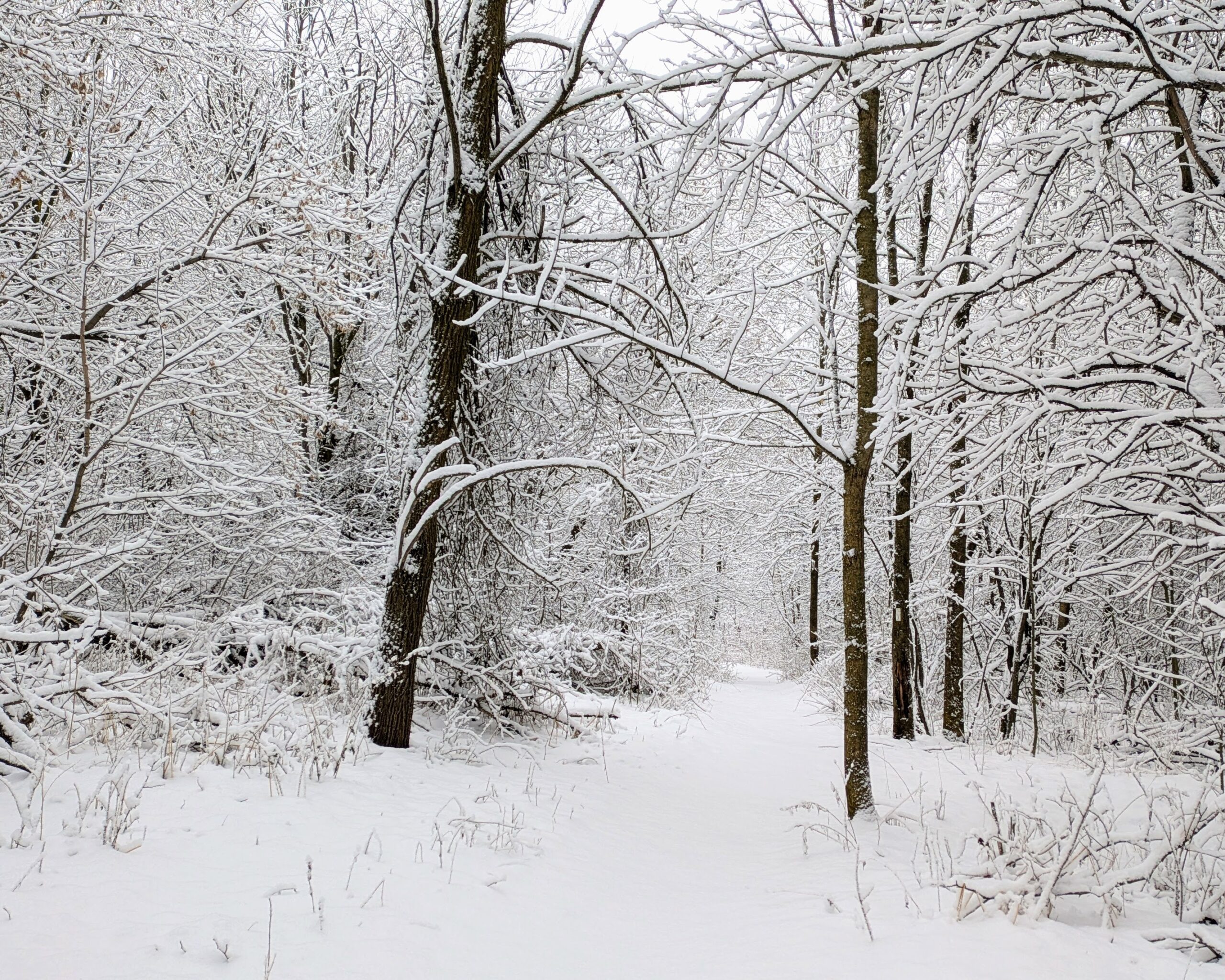
Car Hike: Kortright Conservation Area
https://hikes.brucetrail.org/event/car-hike-kortright-conservation-area/Sorry, the registration cut-off time for this hike has been reached.Not a member? Click here to join today!Hosting Club: Toronto
Category: Car Hike
Location (Google Maps): Kortright Conservation AreaHike Leader(s): Frank Ye & Jen Zhang Click here to contact Hike Leader(s)
Pace: Moderate (3-4 km/hr)
Terrain: Hilly, Level 2 (Intermediate – some hills and uneven surfaces, rocks and roots underfoot), Variable
Distance: 12 KMDescription
Icers are mandatory.Meet at Pierre Berton Resource Library 4921 Rutherford Road Vaughan east of Islington Ave
We will hike Kortright Conservation Area. The hike is about 12 KM. Please arrive 15 minutes early.
Mono Winterfest Scenic Hike
https://hikes.brucetrail.org/event/mono-winterfest-scenic-hike/Sorry, the registration cut-off time for this hike has been reached.Not a member? Click here to join today!Hosting Club: Caledon Hills, Dufferin Hi-Land
Category: General
Location (Google Maps): Location: Meet at the Mono Community Centre parking lot, 200 m south of Mono Centre, Dufferin County Road 8Directions: Drive north on Hwy 10 past Orangeville. Continue to Mono Centre Road/ Dufferin Road 8 at Camilla. Turn right and follow this road into Mono Centre. The Community Centre parking lot is on your right, about 200 meters before you reach the crossroads.
Hike Leader(s): Richard Smythe Click here to contact Hike Leader(s)
Pace: Leisurely – 3 km/hour or less, Medium – 3 to 4 km/hour
Terrain: Moderate – some hills and/or some poor footing
Distance: 3 km or 7 to 8 kmDescription
Warm up for Mono Winterfest with a morning hike by the ponds of the Whitetail Refuge Nature Reserve and Mono Cliffs. We aim to have you back at the Mono Community Centre for the start of Winterfest at noon. There will be an opportunity to leave the hike after about 3 km as we pass by Mono Centre Park. Please dress for the weather and have your icers ready.
Urban Walk: Waterfront Trail 3/11 – Long Branch
https://hikes.brucetrail.org/event/urban-walk-waterfront-trail-3-11-long-branch/Sorry, the registration cut-off time for this hike has been reached.Not a member? Click here to join today!Hosting Club: Toronto
Category: Urban Walk
Location (Google Maps): CanadaHike Leader(s): Brian Rideout Click here to contact Hike Leader(s)
Pace: Moderate (3-4 km/hr)
Terrain: Flat
Distance: 9 kmDescription
Please join me at Kipling Station by 9:15 am. We will take the 123 bus departing 9:30 am, arriving 9:53 am. If you want to meet us at the Long Branch loop, be there by 9:53 am. We start hiking at 10:00 am.We will hike to the lake and then east to Parklawn. There we can catch a bus to Old Mill Station or take the Lakeshore bus / streetcar. The estimated distance is 9 km. Here is an online map of our route – Long Branch to Parklawn
Bring a snack, at least 2 liters of water, and icers. Dress for cold weather.
Hiking around Port Weller West
https://hikes.brucetrail.org/event/hiking-around-port-weller-west/Sorry, the registration cut-off time for this hike has been reached.Not a member? Click here to join today!Hosting Club: Niagara
Category: Hike
Location (Google Maps): Charles Ansell Park, St. CatharinesHike Leader(s): Sheila Massey Click here to contact Hike Leader(s)
Pace: Medium
Terrain: Easy
Distance: 6kDescription
Following paths along the Welland Canal, through Malcolmson Eco Park to Sunset Beach and Walker Creek trails in Port Weller West.