Categories
- 22October 22, 2025
EASY DOES IT HIKE,Allanburg Bridge
https://hikes.brucetrail.org/event/easy-does-it-hikeallanburg-bridge/Sorry, the registration cut-off time for this hike has been reached.Not a member? Click here to join today!Hosting Club: Niagara
Category: In and Out
Location (Google Maps): Allanburg Bridge parking lot.Hike Leader(s): Diane Marlatt Click here to contact Hike Leader(s)
Pace: Leisurely
Terrain: Easy
Distance: 5 kmDescription
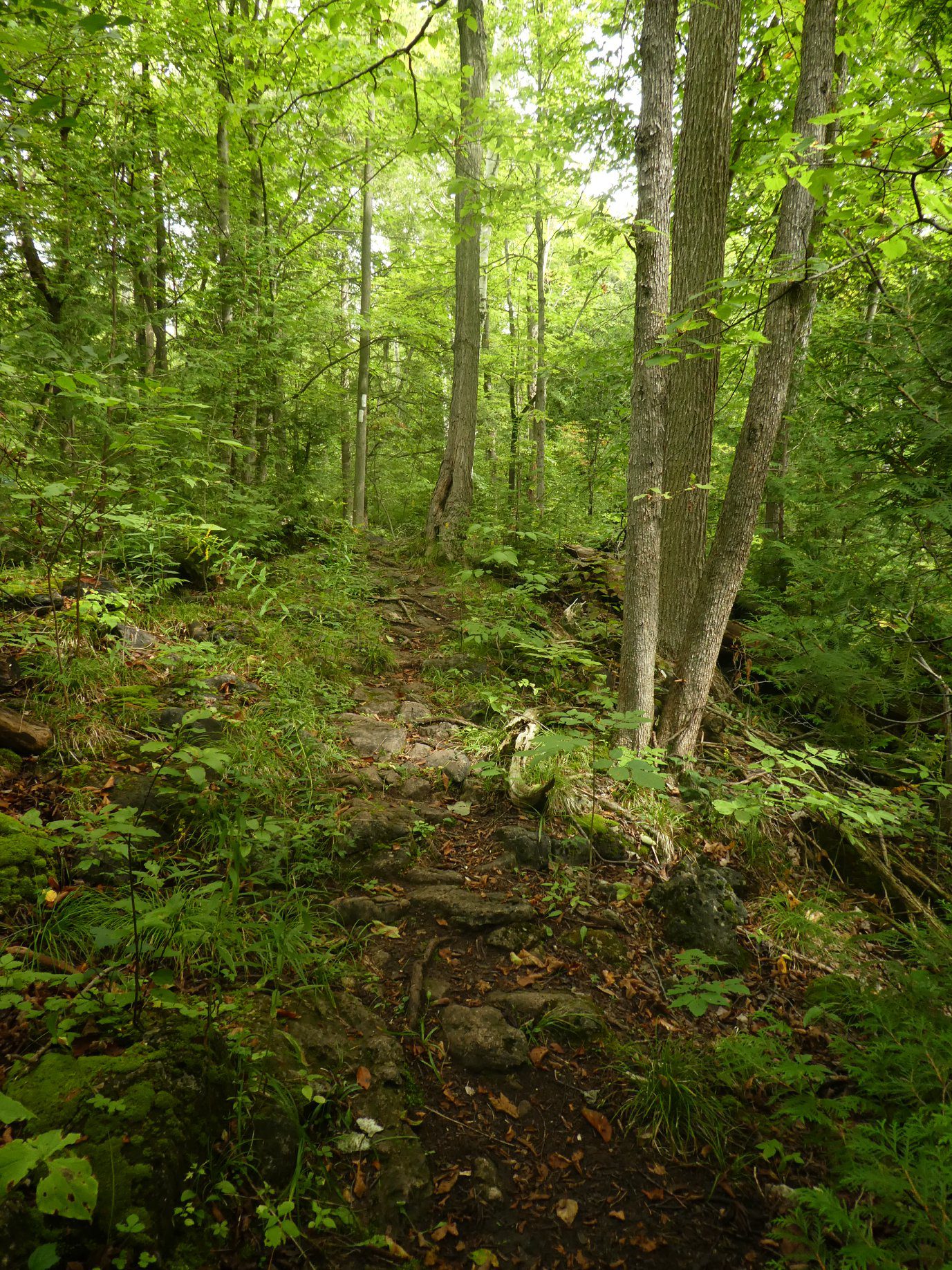
This will be a leisurely walk heading north along the Welland Canals Trail from Allanburgh Bridge.Silver Creek North to 12th sideroad views
https://hikes.brucetrail.org/event/silver-creek-north-to-12th-sideroad-views/Sorry, the registration cut-off time for this hike has been reached.Not a member? Click here to join today!Hosting Club: Blue Mountains
Category: Organized Hike
Location (Google Maps): Tim Horton’s, First Street, CollingwoodHike Leader(s): Claire Pearson Click here to contact Hike Leader(s)
Pace: Medium – 3 to 4 km/hr
Terrain: Moderate – Some hills and/or some poor footing
Distance: 5 kmDescription
Enjoy a crisp fall morning along the Bruce Trail. There is lots to see on this hike – beautiful fall colors, scenic streams, and a spectacular view of Collingwood from the top of the 12th line! We will begin our shuttle hike where the Bruce Trail crosses Grey Rd 19 (WhatThreeWords – “hastened.mastery.balance”. From there, we will head North along the trail through the forest until we reach 12 line (Six Street extension). We will then walk along the road to the bottom of the 12th.WEDNESDAY WALKERS - Webwood Falls
https://hikes.brucetrail.org/event/wednesday-walkers-webwood-falls-2/Sorry, the registration cut-off time for this hike has been reached.Not a member? Click here to join today!Hosting Club: Beaver Valley
Location (Google Maps): Meet in the BTC parking lot on Grey Road 40, Km 105.7 Map 28 Edition 31
Hike Leader(s): Margaret Yaraskavitch Click here to contact the hike leader.
Pace: Medium
Terrain: Moderate
Length of Hike: 4.6 kmDescription
We gather in the somewhat new BTC parking lot on Grey Road 40. Our Trail takes us a short distance across a field and then into a forest. Then it’s a country walk beside farm fields towards Webwood Falls. We will view the Falls and poke around the old Harwood Farm to see features left behind from farmstead days. They we return back to our vehicles.Guidelines
- Arrive 15 minutes before the start of the hike.
- Wear sturdy footwear and appropriate attire for the weather and the terrain.
Hiking poles are a good idea in any season, especially if the terrain is rocky or slippery. In winter, snowshoes or icers/crampons are needed when conditions dictate.
Wearing appropriate clothing and footwear prevents injuries and shows consideration for a safe and positive group hiking experience. - Always carry I.D. and your health card.
- Bring sufficient water and snacks (or lunch if indicated). A minimum of 1L of water is recommended on all hikes, and 3L is recommended for long, challenging hikes in the heat of the summer.
- Bring sunscreen and insect repellent (for spring and summer hikes).
- Bring your own first aid kit.
- Please leave dogs at home.
Speyside Loops
https://hikes.brucetrail.org/event/speyside-loops-2/Sorry, the registration cut-off time for this hike has been reached.Not a member? Click here to join today!Hosting Club: Iroquoia
Category: General Hike
Location (Google Maps): Meet at the end of 17 Sideroad, off Hwy 25, just north of MiltonHike Leader(s): Karen Bergmann Click here to contact Hike Leader(s)
Pace: Medium – 3 to 4 km/hr
Terrain: Moderate – Some hills and/or some poor footing
Distance: 7 kmsDescription
We will hike 3 loops including the main and 3 side trails. There are lots of rocks on this trail and some possible wet areas.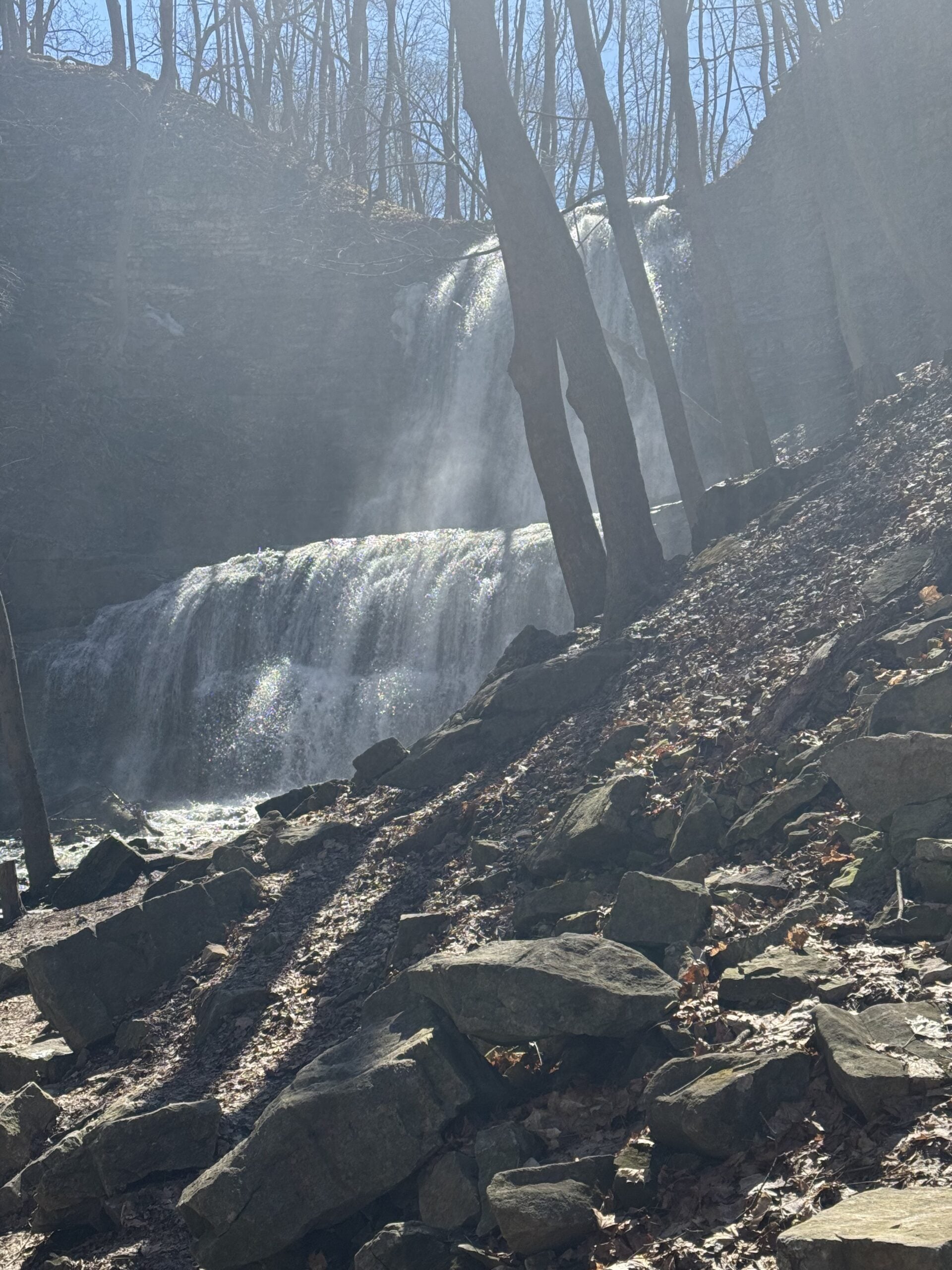
Waterfall Circuit
https://hikes.brucetrail.org/event/waterfall-circuit-2/Sorry, the registration cut-off time for this hike has been reached.Not a member? Click here to join today!Hosting Club: Iroquoia
Category: Good Companions
Location (Google Maps): Dundas Valley Conservation Area/Artaban Rd.Hike Leader(s): Anne Armstrong Click here to contact Hike Leader(s)
Pace: Leisurely – 3km/hr or less
Terrain: Moderate – Some hills and/or some poor footing
Distance: 8.5 kmDescription
- Dundas Valley is always a lovely hiking destination with its easy to moderate terrain but enough hills to provide a good cardiac workout. Meet in the parking lot on Artisan Rd. off of Lion’sClub Rd. at 9:45 am for a 10:00 am. start. (Paid parking or a conservation Area pass. We will do a circuit stopping to see Sherman and Canterbury Falls stopping and then head over to Tiffany Falls and return to the parking lot. (Except some rocky trail on the way to Tiffany Falls) Bring water, a snack and sunscreen. I will send outan email with my contact information the day before.