Categories
- 12October 12, 2025

Car Hike: Exploring Uxbridge Trails With Fall Colors on Display (Wilder Forest, Walker Woods, and Glen Major Forest)
https://hikes.brucetrail.org/event/car-hike-exploring-uxbridge-trails-with-fall-colors-on-display-wilder-forest-walker-woods-and-glen-major-forest/Sorry, the registration cut-off time for this hike has been reached.Not a member? Click here to join today!Hosting Club: Toronto, Beaver Valley
Category: Car Hike
Location (Google Maps):2499 Brock Rd, Uxbridge, ON L9P 1R4. We will meet at the East Duffins Headwaters parking lot at the WILDER FOREST trail head. As soon as you got off the Brock Road, passing the horse back riding facility, there is a free designated parking lot 70 meters down the lane to your right. It includes a sign board for East Duffins Headwaters with a map of the trails. Please do not park on the lane or in the horse back riding property.
Hike Leader(s): Amir Alemohammad Click here to contact Hike Leader(s)
Pace: Moderate (3-4 km/hr)
Terrain: Flat, Hilly, Level 2 (Intermediate – some hills and uneven surfaces, rocks and roots underfoot), Variable
Distance: Approx.15-16 KmDescription
Join us for a delightful hike in Uxbridge, as we explore Wilder Forest, Walker Woods, and Glen Major Forest on a scenic loop starting from Brock Road. We’ll pass Concession Road 6, heading west and back, while also venturing onto several side trails for even more stunning views. Fall colors are on display at this time of the year.What to Expect:
•Beautiful scenic views and lookouts facing south
•A mix of hilly and flat terrain
•Frequent 2-minute breaks for hydration and photos, with a 10-20 minute lunch/snack stop
•Stay on designated trails at all time
What to Bring and Wear:
•Hiking Boots and poles (recommended) and be prepared for the bugs
•At least 2 liters of water
•Your favorite snacks and lunch (pack your own refreshments for an outdoor meal)
•Dress according to variable weather conditions!
Important Details:
•Stay on the designated trails
•Be prepared for the elements and enjoy the adventure!
Looking forward to seeing you on the trail!
Don’t forget your camera and a smile as we explore the beauty of the Uxbridge trails!
This is a joint hike with the Oak Ridges Trail Association (ORTA).

Car Hike: #3/7 Iroquoia Bruce Trail End-to-End -21 KM
https://hikes.brucetrail.org/event/car-hike-3-7-iroquoia-bruce-trail-end-to-end-21-km/Sorry, the registration cut-off time for this hike has been reached.Not a member? Click here to join today!Hosting Club: Toronto
Category: Car Hike
Location (Google Maps): Dundas Valley Conservation Parking lot on Artaban RdHike Leader(s): Alina Lin
Pace: Brisk (4-5 km/hr)
Terrain: Challenging, Flat, Hilly, Level 2 (Intermediate – some hills and uneven surfaces, rocks and roots underfoot), Rocky, Variable
Distance: 21 kmDescription
It’s time for the fall colors—and no autumn feels complete without a hike on the Bruce Trail.This is the 3rd hike of an End-to-End series covering the entire Iroquoia Bruce Trail section. The full section stretches over 120 kilometers from Grimsby to Milton. I am using Map Edition 29 to plan the hikes, and so please note that kilometer markings may not be fully up to date, and actual hiking distances may vary slightly.
Meeting Point:
KM46.7. Dundas Valley Conservation Parking lot on Artaban Rd, 180 m north of Lion’s Club Rd. GPS: 43.240974, -79.975582. This is a paid parking lot for $11.5/car. We will chip in for the parking fees. Please arrive before 8:45am to allow time for car shuttle coordination.We will car shuttle to KM66 – Roadside parking on the north end of Old Guelph Rd providing access to the Old Guelph Side Trail. GPS: 43.307417, -79.911580. The group will then hike from KM66 back to KM46.7.
All drivers are expected to participate in the car shuttle, either before or after the hike. All hikers are expected to chip in for parking fees, if applicable.
Important Notes:
- Wear sturdy hiking footwear and dress appropriately for the weather
- Bring snacks, lunch, and at least 1.5L of water
- No dropouts available.
- No pets.
Toronto End-to-End in Four - Speyside to Scotsdale Farm
https://hikes.brucetrail.org/event/toronto-end-to-end-in-four-speyside-to-scotsdale-farm/Sorry, the registration cut-off time for this hike has been reached.Not a member? Click here to join today!Hike open to BTC Members only.
Hosting Club: Dufferin Hi-Land
Category: General Hike
Location (Google Maps): Scotsdale Farm: Enter from Trafalgar Road north of Hwy 7.Hike Leader(s): Stuart Law; Kerry Seong Click here to contact Hike Leader(s)
Pace: Medium
Terrain: Moderate
Distance: 16.6 kmsDescription
Join us on a four-hike end-to-end hike series covering the Toronto Section plus a few kilometres up to The Grange. Today’s hike is the second of that shuttle series. We will make our way on the Main Trail from Speyside to Scotsdale Farm. Please bring 2.5L of water, a snack, a lunch, and a smile. Please also bring footwear to change into after the hike and a garbage bag to put your boots in for the shuttle. Hiking boots mandatory. Poles very much recommended. It will be quite rocky in sections. Please arrive at 9 am and be ready to shuttle at 9:15 sharp.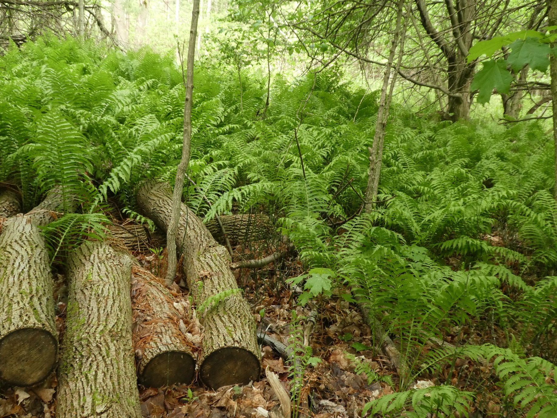
Glen Haffy to 7th Line - E2E
https://hikes.brucetrail.org/event/glen-haffy-to-7th-line-e2e-2/Sorry, the registration cut-off time for this hike has been reached.Not a member? Click here to join today!Hosting Club: Iroquoia
Category: General Hike
Location (Google Maps): Meet at 9:15 in the 7th Line Bruce Trail parking lot, off Airport Road.Hike Leader(s): Karen Bergmann Click here to contact Hike Leader(s)
Pace: Medium – 3 to 4 km/hr
Terrain: Moderate – Some hills and/or some poor footing
Distance: 9 kmsDescription
Meeting at 9:15 am in the Bruce Trail parking lot at the corner of 7th Line and Airport Road, we will carpool to Coolihans Side Road and hike back through Glen Haffy, along Hwy 7 and into the forest to the cars. There are some hills and tricky footing, so bring poles if you use them. Lots of variety along this trail. There is a 650 meter stretch of road walking just after leaving the Glen Haffy Conservation Area. Bring water and a snack, as needed.Exploring Sydenham Hike #33 The Glen
https://hikes.brucetrail.org/event/exploring-sydenham-hike-33-the-glen/Sorry, the registration cut-off time for this hike has been reached.Not a member? Click here to join today!Hosting Club: Sydenham
Category: General Hike
Location (Google Maps):The Owen Sound Galaxy Cinema parking lot. Meet at the tall “Galaxy Centre” sign next to the traffic lights.
Hike Leader(s): Bill Snel Click here to contact Hike Leader(s)
Pace: Leisurely: 3 km/h or less
Terrain: Moderate: Some hills and/or poor footing
Distance: 5.4 kmDescription
We will carpool to do a loop hike of The Glen. This is hike 33 in the book Exploring Sydenham. There will be one secret to find. If you do not have a book and would like one ($30) let me know by using the “Contact hike leader” link.