Categories
- 18December 18, 2024
Queenston side trails
https://hikes.brucetrail.org/event/queenston-side-trails/Sorry, the registration cut-off time for this hike has been reached.Not a member? Click here to join today!Hosting Club: Niagara
Category: Hike
Location (Google Maps): Corner of Concession 2 and York Road, Queenston, Laura Secord Heritage Trail on Google MapsHike Leader(s): Erin Lyttle Click here to contact Hike Leader(s)
Pace: Brisk
Terrain: Moderate
Distance: 7-8 kmDescription
We will park at Concession 2 and York road in gravel roadside parking with concrete barriers, if necessary there’s more parking across Concession 2. We will head south on the Major Teyoninhokarawen/John Norton Side Trail up the escarpment (poles and boots/trail shoes recommended, especially if there’s mud) and then head east on the main Bruce Trail to Queenston Heights Park. We will take Alfred’s Trot side trail back to the main trail, head down the escarpment (again, very steep-boots/good traction shoes and poles recommended) and then head back to our cars on Upper Canada Heritage Trail. Great opportunity for those looking to check these three side trails off their side trail badge requirement. Along the way we will see barracks ruins, lime kiln ruins and maybe even a cave.CANCELLED: West Rocks and Pottawatomi Conservation followed by an opportunity for a Christmas Pot Luck
https://hikes.brucetrail.org/event/west-rocks-and-pottawatomi-conservation-followed-by-an-opportunity-for-a-christmas-pot-luck/Sorry, the registration cut-off time for this hike has been reached.Not a member? Click here to join today!Hosting Club: Sydenham
Category: Hike & Potluck
Location (Google Maps):Memorial Forest. At the end of Young’s Drive
Hike Leader(s): Sheri Hatcher Click here to contact Hike Leader(s)
Pace: Medium: 3 to 4 km/h
Terrain: Moderate: Some hills and/or poor footing
Distance: Approximately 8 kmDescription
We will meet at km 105.8 and car shuttle to km 100.7. We will hike the main trail along the West Rocks and Springmount Forest, crossover Hwy 21 and head to Jones Falls. We will then take the Merle Gunby Side Trail loop to the main trail. This hike ends with a steep descent back to the parking lot. We will gather for a pot luck lunch following the hike. I will provide hot soup and drinks. Please arrive 15 minutes before the start time. Please contact me through the built in Contact the Hike Leader option if you have any questions or unable to register.Wednesday Walkers: Pretty River
https://hikes.brucetrail.org/event/wednesday-walkers-pretty-river/Sorry, the registration cut-off time for this hike has been reached.Not a member? Click here to join today!Hosting Club: Beaver Valley
Location (Google Maps): Meet in the Snowmobile Parking Lot on Pretty River Road. Near Km 46.8, Edition 31 The Bruce Trail Reference.
Hike Leader(s): Margaret Yaraskavitch Click here to contact the hike leader.
Pace: Medium
Terrain: Moderate, Some rocky footing, Some steep sections
Length of Hike: 6 kmsDescription
We’re hiking in the popular Pretty Valley Provincial Park. Using an access Side Trail, we’ll head to the Main Trail that travels along a moraine with excellent views over the Pretty River Valley. Our return will use the Pretty River Side Trail.
Dufferin Hi-Lands Stained Glass Badge in 4 hikes
https://hikes.brucetrail.org/event/dufferin-hi-lands-stained-glass-badge-in-4-hikes/Sorry, the registration cut-off time for this hike has been reached.Not a member? Click here to join today!This is a Multi-Day Hike
You are signing up for the following dates:
2024-12-18, 2024-12-19, 2025-01-15, 2025-01-16Hosting Club: Dufferin Hi-Land
Category: Special Events
Location (Google Maps): 638003 Prince of Wales Rd W, Honeywood, ON L0N 1H0, Canada. Prince of Wales Road and 20 Sideroad.Hike Leader(s): Susan Bate and Helen Bailey Click here to contact Hike Leader(s)
Pace: Fast
Terrain: Dependent on Conditions, Moderate, Slippery and Steep Sections
Distance: 15kmDescription
Join Helen and Susan for this fundraiser series of 4 hikes for the Dufferin Hi-Land Club. Registered hikers must complete all 4 hikes and will receive the Stained Glass Badge upon completion of the final hike. Registration applies to all 4 days Dec 18, Dec 19, Jan 15 and Jan 16. All participants will take part in the car shuttle. Further information will be made available to participants. Please arrive 15 minutes early (9:15am) and bring icers, 1L water and a snack/lunch. Helen likes Kit-Kat bars best.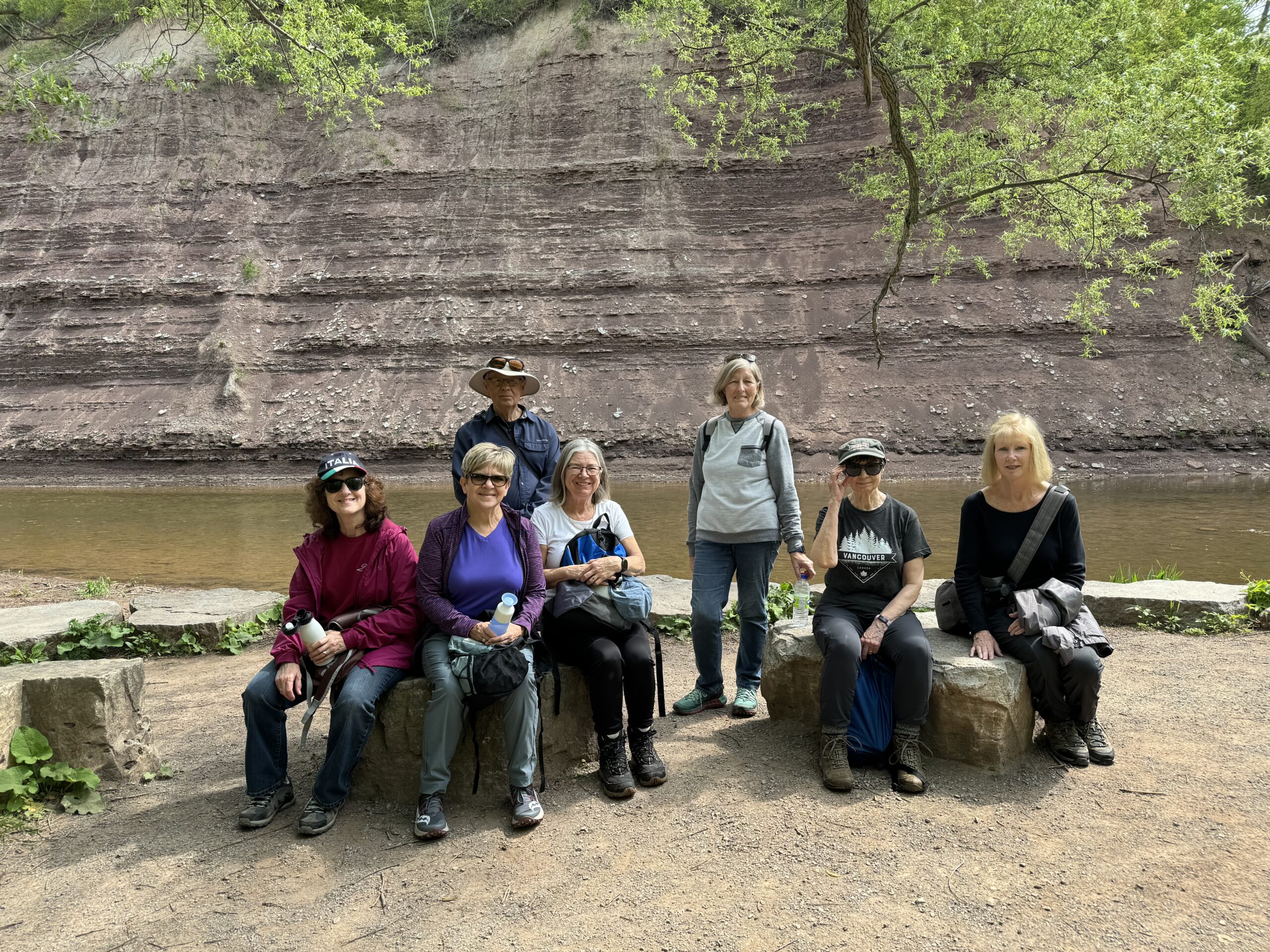
Sixteen Mile Creek in the Early Years
https://hikes.brucetrail.org/event/sixteen-mile-creek-in-the-early-years/Sorry, the registration cut-off time for this hike has been reached.Not a member? Click here to join today!Hosting Club: Iroquoia
Category: Good Companions
Location (Google Maps): Sixteen Mile Creek Valley, OakvilleHike Leader(s): Anne Armstrong Click here to contact Hike Leader(s)
Pace: Leisurely – 3km/hr or less
Terrain: Easy – Mostly flat and usually good footing, Moderate – Some hills and/or some poor footing
Distance: 9 km.Description
Sixteen Mile Creek Valley is steeped in the early history of Oakville and provides an insight into the lives of early settlers. Meet at the south east corner of River Glen Blvd. and Neyagawa Blvd. (beside the baseball fields) at 9:45 am. for a 10:00 am. start. Bring water, a snack and poles if using. There are a number of hills and some uneven ground. There will be some interpretative stops along the route.