Categories
- 08October 8, 2023
Niagara Falls: White Water Walk, Cham Shan Temple & Niagara Recreation Trail
https://hikes.brucetrail.org/event/niagara-falls-white-water-walk-cham-shan-temple-niagara-recreation-trail/Sorry, the registration cut-off time for this hike has been reached.Not a member? Click here to join today!Hike open to BTC Members only.
Hosting Club: Toronto
Category: Urban Walk
Location (Google Maps): Niagara FallsHike Leader(s): Celia Ho Click here to contact Hike Leader(s)
Pace: Leisurely
Terrain: Flat
Distance: 10 kmDescription
Spend a leisure day at Niagara Falls by taking the Go Train. Visit the White Water Walk (White Water Walk – Explore the self-guided walk and white water rapids (niagaraparks.com)) and Cham Shan Temple (Ten Thousand Buddhas Sarira Stupa) (Ten Thousand Buddhas Sarira Stupa – Visiting Niagara Falls), and stroll along the Niagara Recreation Trail taking in the view of the falls at the Horseshoe Falls. Free time after to visit pubs/cafes/shops and other attractions. Return by Go train to Union Station at your leisure.
Itinerary:
8:45 AM – Meet at Union Go Train station to take the Go Train
11:30 AM – Arrive at Niagara Falls Go Train station
Lunch
12:00 PM – Visit White Water Walk (Optional) – Admissions = $17.50 per adult (Book your ticket here for the 12 PM timeslot: White Water Walk – Explore the self-guided walk and white water rapids (niagaraparks.com) )
1:00 PM – Visit Cham Shan Temple (Ten Thousand Buddhas Sarira Stupa) (Optional) – Admissions = N/A
2:00 to 4:00 PM – Walk to the Horseshoe Falls and back (Optional)
Please see the route map for your reference: https://onthegomap.com/s/52amkc7o
Fall Colours in Toronto Parks & Ravines: Crothers Woods
https://hikes.brucetrail.org/event/fall-colours-in-toronto-parks-ravines-crothers-woods/Sorry, the registration cut-off time for this hike has been reached.Not a member? Click here to join today!Hosting Club: Toronto
Category: Urban Walk
Location (Google Maps): Meet at Crothers Woods Main Entrance at the SW Corner of Loblaws Parking LotHike Leader(s): Sajedeh Zahraei Click here to contact Hike Leader(s)
Pace: Leisurely, Moderate
Terrain: Flat, Variable
Distance: 6 KMDescription
This is the second walk in a 4 part series of fall colour walks in Toronto Parks and Ravines. You may sign up for any or all walks in the series. Join us in hiking Crothers Woods trails and enjoy the beautiful fall colours. The trail is variable and narrow in some sections which are also popular with mountain bikers. Sun Valley and Cotton Wood sections are flat where we can enjoy a leisurely walk and see sections of the Lower Don River. Wear hiking boots or comfortable running shoes, bring water and snacks.Wiarton to Lion's Head #4: Jackson's Cove to Barrow Bay
https://hikes.brucetrail.org/event/wiarton-to-lions-head-4-jacksons-cove-to-barrow-bay/Sorry, the registration cut-off time for this hike has been reached.Not a member? Click here to join today!Hike open to BTC Members only.
Hosting Club: Dufferin Hi-Land
Category: General Hike
Location (Google Maps): Barrow Bay BTC parking lot on County Road #9 just south of McKague Road. Km 67.9 BTC Map 38.Hike Leader(s): Stuart Law Click here to contact Hike Leader(s)
Pace: Medium
Terrain: Slippery and Steep Sections, Slippery Sections Likely, Strenuous
Distance: 16.3 kms.Description
Join us rain or shine for this series of Peninsula shuttle hikes from Wiarton to Lion’s Head. The terrain is demanding but stunning. Hikes range from 15 to 19 km. See individual hike descriptions for details. Please be ready for rocks, poison ivy, bugs and ticks. Hiking boots and poles mandatory. Lots of climbing, some mud and a lot of laughs. Please arrive 15 minutes ahead of time because our departure times are firm. Please bring your own first aid kit with moleskin, 2.5L water, lunch, snack and a change of footwear and a garbage bag (for the shuttle). Please be prepared to use your vehicle for the shuttle. No dogs and no dropouts. Km references are to 31st Edition Bruce Trail Reference.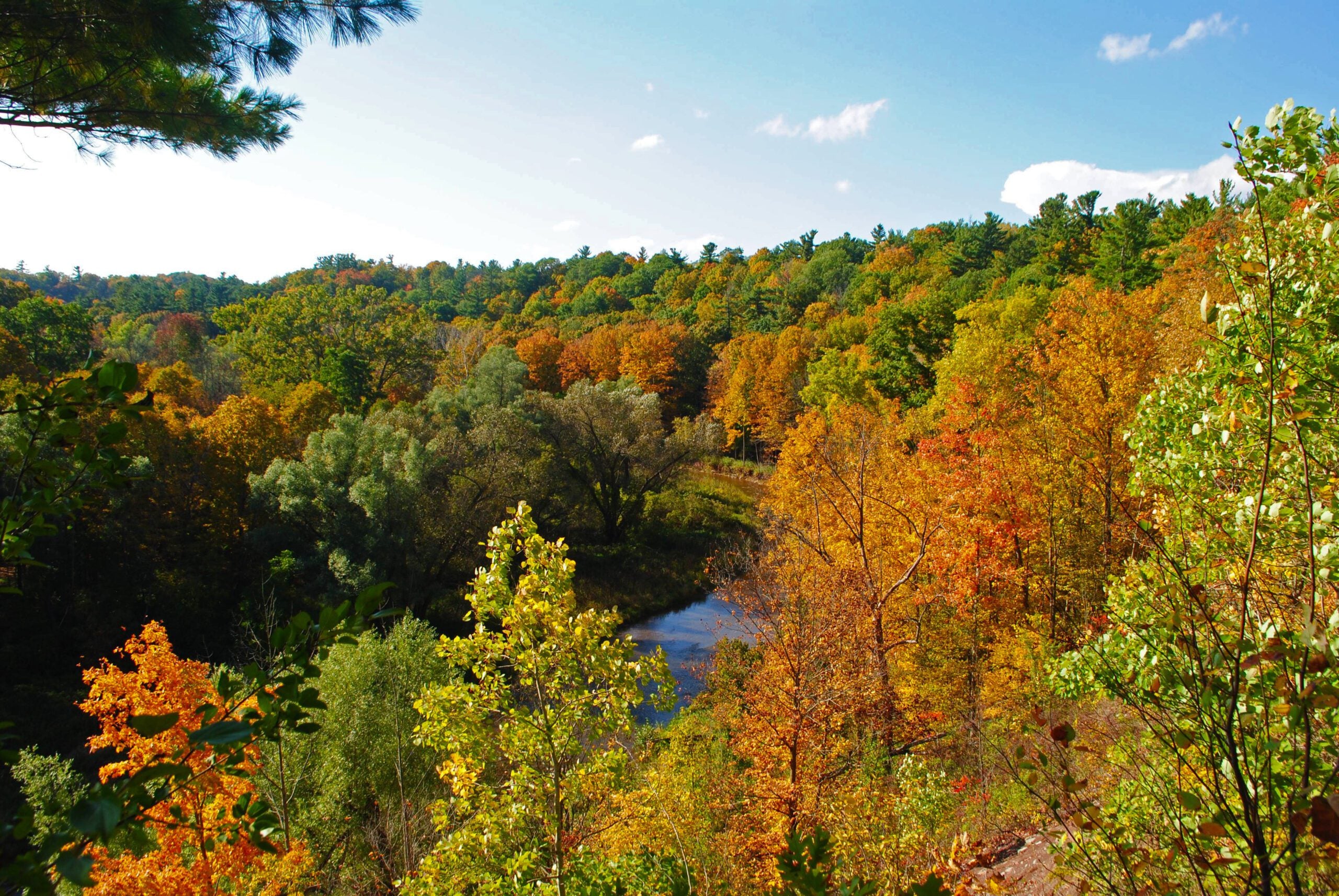
Urban Walk: 16 Mile Creek, Oakville
https://hikes.brucetrail.org/event/urban-walk-16-mile-creek-oakville-3/Sorry, the registration cut-off time for this hike has been reached.Not a member? Click here to join today!Hosting Club: Toronto
Category: Urban Walk
Location (Google Maps):Starts and ends at Oakville GO Station
Hike Leader(s): Ginny Giraudi Click here to contact Hike Leader(s)
Pace: Moderate
Terrain: Other (Refer to Description)
Distance: 15 kmDescription
Not a big fan of dry turkey or your in-laws? Tell them you can’t attend, you have booked a hike for Thanksgiving Sunday and it is too late to cancel!This hike explores the Lion’s Valley ravine created by the 16-Mile Creek in Oakville. The hike starts and ends at the Oakville GO Station.
If you are planning to travel by GO train to Oakville from Union Station, you will be taking the 8:44 am westbound train. Please use the bathroom while on the GO train as there is little time for it at the Oakville GO station.
We will all meet at 9:25 am at the Oakville Transit Bus Platform 27 at the Oakville GO Station (click here for station diagram.) From here we will board Bus 13 at 9:40 am and take a short bus ride to the start point of our hike. Oakville Transit buses accept Presto, and if you have paid for the GO train, the fare for the Oakville bus will register as zero. We will walk a 15 km looping trail through the 16-Mile Creek ravine (click here for route map), stopping at the halfway point for lunch (port-a-potties only; bring hand sanitizer and tp) and return to the Oakville GO Station. The trail is stone dust gravel or asphalt and mostly flat except for two steep declines and two long climbs. There is one long set of stairs to descend. The after-hike pub stop is at the Beertown Public House (click here for menu) near the Oakville GO Station.
You can also drive to the Oakville Station and meet us there. Parking is free on the weekends. You may also choose to park in a parking lot located at the intersection of McCraney St. W. and Old Upper Middle Road approximately 1 km from where we enter the trail system. Please park by 9:30 am and walk to the trail entry to meet us there by 9:50 am.
Sunday Social Hike - Palisades figure 8 loop
https://hikes.brucetrail.org/event/sunday-social-hike-palisades-figure-8-loop/Sorry, the registration cut-off time for this hike has been reached.Not a member? Click here to join today!Hosting Club: Sydenham
Category: General Hike
Location (Google Maps):Roadside parking on Owen Sound 7th Ave. E. just south of 1st St. E., west of km 90.2 (Map 32)
Hike Leader(s): Bill Snel Click here to contact Hike Leader(s)
Pace: Leisurely: 3 km/h or less
Terrain: Moderate: Some hills and/or poor footing, Strenuous: Hilly with steep climbs and some poor footing.
Distance: 1.8 kmDescription
A figure 8 hike on the east side of Owen Sound with many interesting rock formations. It also contains 1 Secret of Sydenham. For more information contact Bill Snel at w.snel2@gmail.com or call landline (519) 470-0584. If unable to register phone the hike leader.