Categories
- 19January 19, 2023
9:00 am Long Hike Jordan to Moyer / Louth
https://hikes.brucetrail.org/event/900-am-long-hike-jordan-to-moyer-louth-33/Sorry, the registration cut-off time for this hike has been reached.Not a member? Click here to join today!Hosting Club: Niagara
Location (Google Maps):
Jordan Hollow Park 3039 King St Jordan
Pace: Medium
Terrain: Moderate
: 10kDescription
From Jordan Hollow Hike the main trail to Upper and Lower Balls Falls, Moyer Road or Louth and Return. You must register for each hike. Dress for the weatherBring Poles, snack a drink and icers
9:15 Short hike, Jordan Hollow
https://hikes.brucetrail.org/event/915-short-hike-jordan-hollow-39/Sorry, the registration cut-off time for this hike has been reached.Not a member? Click here to join today!Hosting Club: Niagara
Location (Google Maps): Jordan Hollow Park Jordan
Hike Leader(s): Bill Russell Click here to contact Hike Leader(s)
Pace: Medium
Terrain: Moderate
Distance: 6 kilometresDescription
Hike the main trail and side trails around Jordan and Balls Falls. Bring hiking boots, icers and water.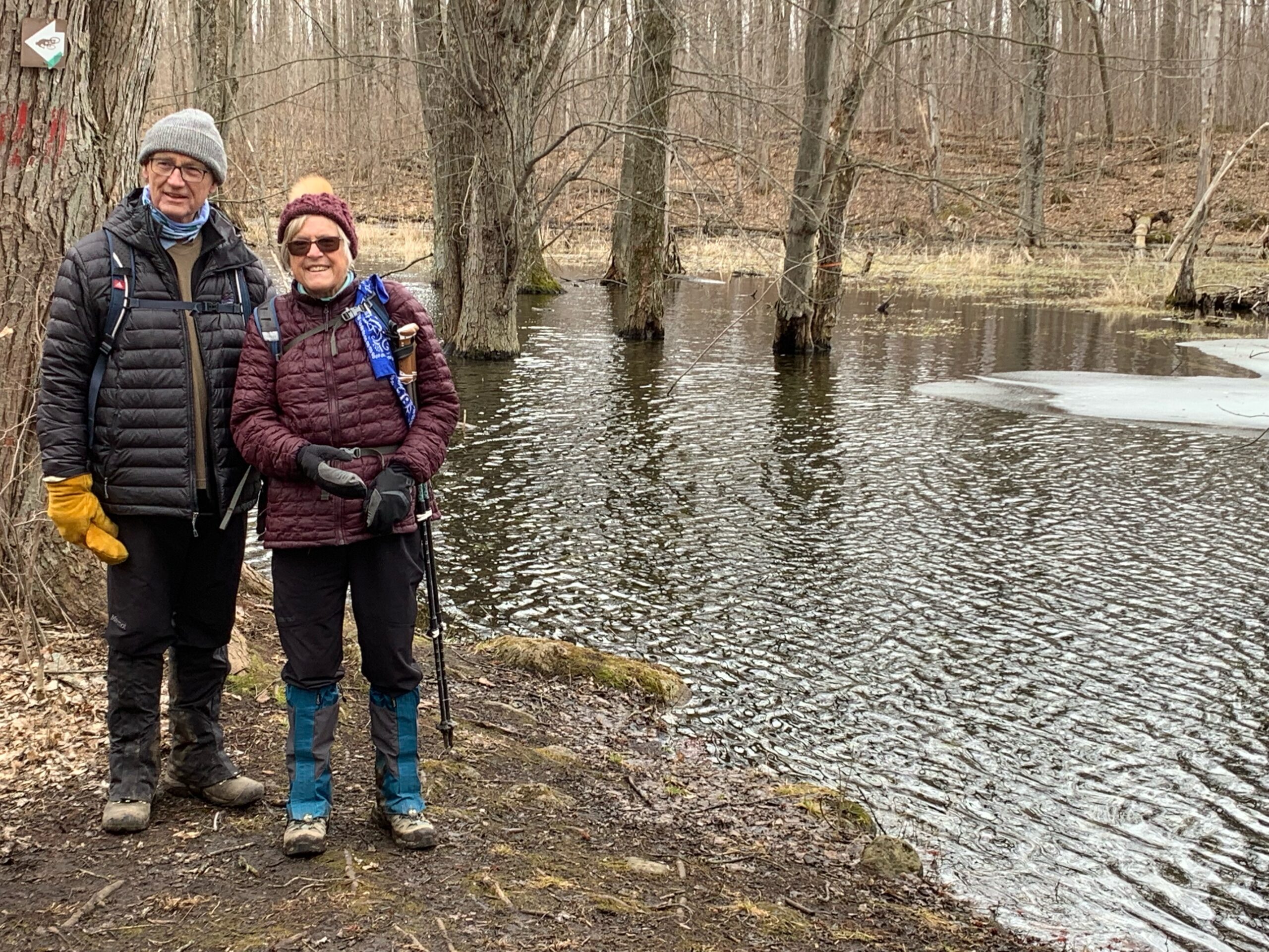
Down to the Hollow CANCELLED
https://hikes.brucetrail.org/event/down-to-the-hollow/Sorry, the registration cut-off time for this hike has been reached.Not a member? Click here to join today!Hosting Club: Iroquoia
Category: Thursday Group
Location (Google Maps): City View Park, 2500 Kerns Rd.Hike Leader(s): Anne Armstrong Click here to contact Hike Leader(s)
Pace: Leisurely – 3km/hr or less
Terrain: Moderate – Some hills and/or some poor footing
Distance: 10-11 km.Description
Today’s hike will take us from City View Park to Smokey Hollow and back. Depending on conditions we may include the McNally and Norman Pearson Side Trails which will include a long climb up Grindstone Creek to Smokey Hollow. Meet at 9:45 am. for a 10:00 am. start in the first parking lot on your right in the most southerly parking lot of City View Park (not the one with the soccer fields and baseball diamonds on Kerns Rd). Bring water, a snack, icers and poles if using. If cancelling after 4:00 pm. on the day before please email leader or text.
Hike Leaders: Anne and Phill Armstrong 905 617 3937 hikingrandma@gmail.com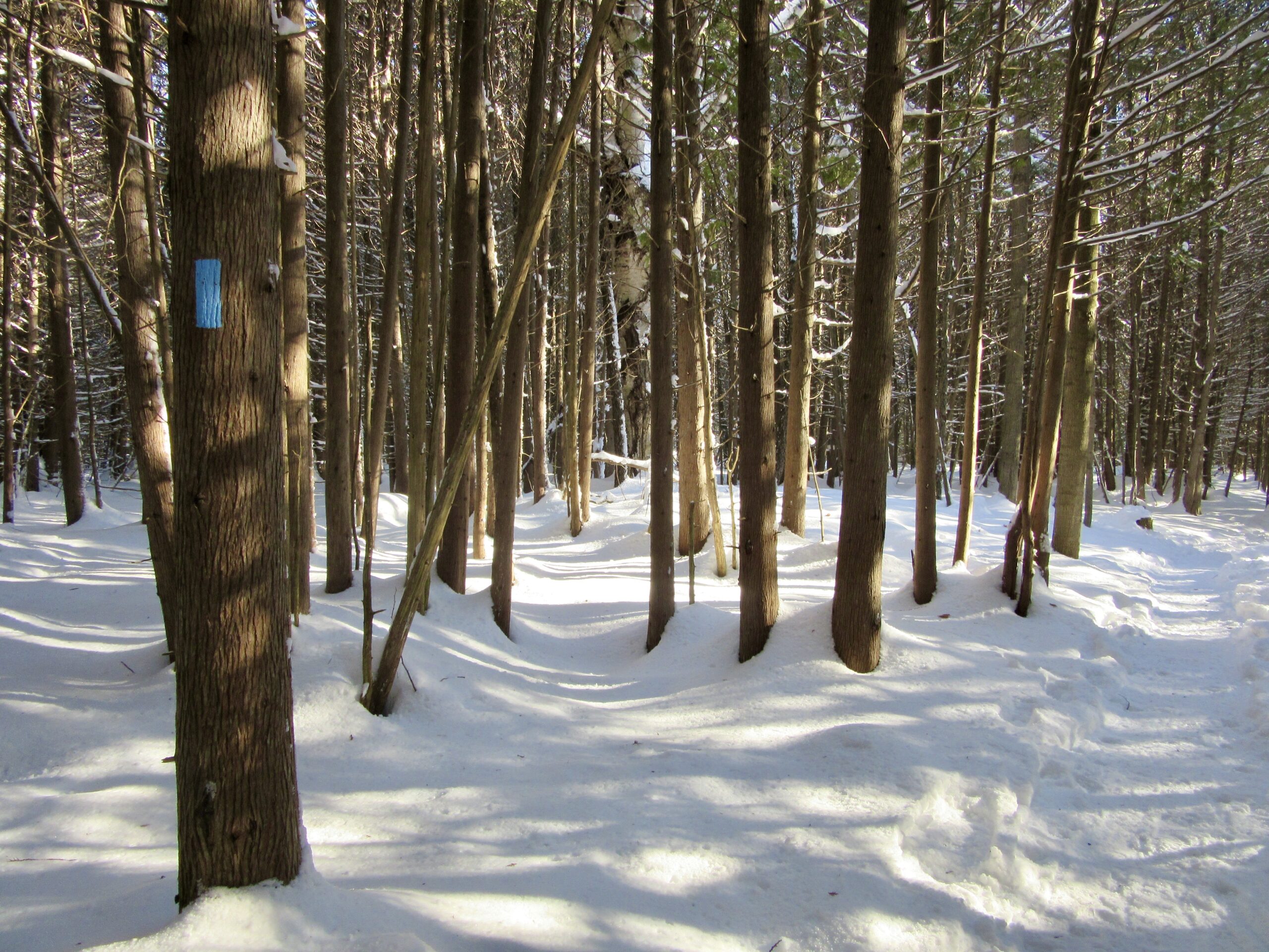
Car Hike: Winter Walk and Wonder - CANCELLED
https://hikes.brucetrail.org/event/car-hike-winter-walk-and-wonder/Sorry, the registration cut-off time for this hike has been reached.Not a member? Click here to join today!Hosting Club: Toronto
Category: Cancelled
Location (Google Maps): Meet at the (roadside) parking area at the end of 17 Sideroad, 730 m northeast of Halton Rd 25. Map 12.Hike Leader(s): Janet Patterson Click here to contact Hike Leader(s)
Pace: Leisurely
Terrain: Variable
Distance: approximately 2 kmDescription
Join us for a slow walk in the woods to observe and identify the impressive variety of trees in this area, without the benefit of examining their leaves! The distinctions found in twigs, buds and bark are just some of the clues we will be seeking, with the assistance of our guide, Adam Brylowski, an ecologist on staff at the BTC.Please dress for the weather, and along with your curiosity, I suggest a hot drink, water and lunch or snack. End time and distance we’ll travel are estimates, depending on weather snd trail conditions.
This hike is brought to you by the TBTC’s Biodiversity Team. We endeavour to promote the critical role we can all play in protecting and conserving the Niagara Escarpment.
Limit of 10
Inglis Falls and Smith Bush
https://hikes.brucetrail.org/event/inglis-falls-and-smith-bush/Sorry, the registration cut-off time for this hike has been reached.Not a member? Click here to join today!Hosting Club: Sydenham
Category: Snowshoe Hike
Location (Google Maps): Meet in the parking lot behind the Grey-Sauble Conservation Authority head office.
237897 Inglis Falls Road, Owen SoundHike Leader(s): Franziska Edney Click here to contact Hike Leader(s)
Pace: Medium: 3 to 4 km/h
Terrain: Strenuous: Hilly with steep climbs and some poor footing., There might be icy and slippery sections.
Distance: 5 kmsDescription
We will do a loop hike, starting with the blue trail from the parking lot, crossing the river to the white trail, which takes us up to the Waterfall. We then cross the road and follow the trail through Smith Bush to the snowmobile trail, which takes us back to the parking lot. Hike approximately 2 hrs, poles advised. Map 32