Categories
- 26November 26, 2022
Car Hike: Bethesda Trail Richmond Hill
https://hikes.brucetrail.org/event/car-hike-bethesda-trail-richmond-hill-3/Sorry, the registration cut-off time for this hike has been reached.Not a member? Click here to join today!Hosting Club: Toronto
Category: Car Hike
Location (Google Maps): Oak Ridges Trail head Bethesda parkingHike Leader(s): Mohammad Aghamiri Click here to contact Hike Leader(s)
Pace: Brisk
Terrain: Hilly, Variable
Distance: 14-15KMDescription
We will explore Oak Ridges Corridor in Richmond Hill, Hike around Bond lake .To reach there turn right to Bethesda side road from Bayview Ave. Then drive around 500 meter and park in Oak Ridges trail head parking.
It is winter time please bring your icers, hiking poles, proper closing and shoes and hot drinks,
Please carefully read safety procedures during the hike:
1-Hikers must stay between the leader and the sweep.
2-Hikers must advise the leader or the sweep if they wish to leave the group.
3- Hikers must follow the whistle instructions: 1 blast- stay where you are; 2 blasts come to the leader; 3 blasts – come to the leader quickly.
4-Hike leader may request volunteers to stop at trail intersections, they need to help hikers to the direction the group walk and wait till they see the sweep .
5-Hikers have to make sure they can see the persons behind and in front of them.
Grimsby to MacDui Drive Shuttle Hike
https://hikes.brucetrail.org/event/grimsby-to-macdui-drive-shuttle-hike/Sorry, the registration cut-off time for this hike has been reached.Not a member? Click here to join today!Hosting Club: Iroquoia
Category: General
Location (Google Maps): Grimsby to MacDui Drive. Parking on MacDui Dr. at BTC Map km 15.7 Map 6 (29th edition)Hike Leader(s): Freddy Wang Click here to contact Hike Leader(s)
Pace: Brisk – 4 to 5 km/hour
Terrain: Moderate – some hills and/or some poor footing
Distance: 16 kmDescription
We will meet at the street parking on MacDui Drive, then shuttle to the Grimsby Lions Community Pool. From there, we will hike to the eastern boundary of the Iroquoia section and proceed west. The trail starts with a hike up the escarpment and some nice ridge views, followed by a 2 km road section along Ridge Rd. The trail then enters the Woolverton Conservation Area and follows the slope in a wooded area for the remainder of the trail back to our cars. Bring water, snacks, and clothing layers. Poles optional. Please arrive at 8:15 am as we will leave promptly at 8:30 am.
Questions? Contact Hike leader – Freddy Wang – fwang175@gmail.com. 416-788-1567.
Please check email before leaving home. Hike may be cancelled due to weather. Please contact hike leader if you need to cancel last minute. Thank you.
8:30 Iroquoia E2E #1
https://hikes.brucetrail.org/event/830-iroquoia-e2e-1/Sorry, the registration cut-off time for this hike has been reached.Not a member? Click here to join today!Hosting Club: Niagara
Category: Car Pool
Location (Google Maps): 7342 Twiss Road Roadside Parking.102.6 N43.447743 W79.953436 Carpool to Hilton Falls Conservation Area N43.505705 W79.961589 Paid ParkingHike Leader(s): Alan Laver Click here to contact Hike Leader(s)
Pace: Medium
Terrain: Moderate
Distance: 19.2kDescription
This is the 1st of 7 hikes to complete the Iroquoia section of the Bruce Trail. Dress for the weather and bring icers, gators, snacks and waterGlen Major and Walker Woods + après hike lunch at The Trail Hub
https://hikes.brucetrail.org/event/glen-major-and-walker-woods-apres-hike-lunch-at-the-trail-hub/Sorry, the registration cut-off time for this hike has been reached.Not a member? Click here to join today!Trip Information
Departure Time: 08:30
Return to City Time: 18:00
Departure Point: York Mills Bus PickupOptional Items
Hosting Club: Toronto
Category: Bus Hike
Location (Google Maps): Glen Major and Walker WoodsHike Leader(s): Martina Furrer, Michael Humpage Click here to contact Hike Leader(s)
Pace: Moderate
Terrain: Variable
Distance: 13Description
Welcome the festive season with new and old friends. Join us and guest hike leader Ida Weippert for a fun hike in Glen Major and Walker Woods followed by a late lunch at the Trail Hub where we’ll enjoy food and drink from Annina’s Bakeshop. We’ll hike about 13 km with rolling hills, easy footing, and some nice views of Lake Ontario. Our plan is to be at the Trail Hub at 2:30 PM and depart for Toronto no later than 4:30 PM.Pack water, some snacks, and sun and rain protection.
Bus departs from 10 York Mills Rd at 8:30 AM.
9:00 Rockway In & Out Hike
https://hikes.brucetrail.org/event/900-rockway-in-out-hike/Sorry, the registration cut-off time for this hike has been reached.Not a member? Click here to join today!Hosting Club: Niagara
Category: Leisurely
Location (Google Maps): Meet at the Rocky Community Centre Parking Lot.Hike Leader(s): Dan Wilson Click here to contact Hike Leader(s)
Pace: Leisurely, Medium
Terrain: Moderate
Distance: 6 kmDescription
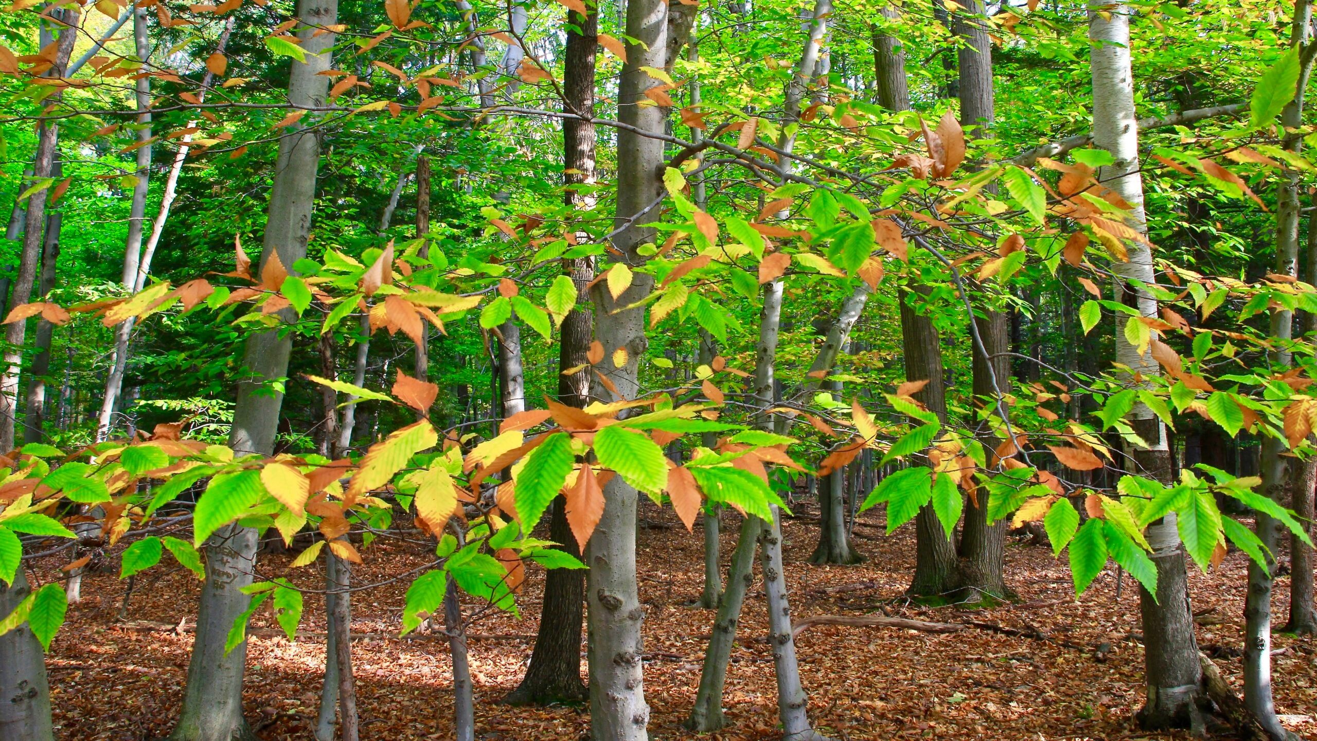
Descend into the 15 Mile Creek Valley through beautiful stands of sugar maple, black walnut and beech trees. Please bring hiking poles as the trail here can be steep and uneven at times.
9:00 NBTC Side Trail Challenge #7 General Brock - Make-Up Hike
https://hikes.brucetrail.org/event/900-nbtc-side-trail-challenge-7-general-brock-make-up-hike/Sorry, the registration cut-off time for this hike has been reached.Not a member? Click here to join today!Hosting Club: Niagara
Category: Car Pool
Location (Google Maps): Park at Butler’s Barracks (enter from John Street)Hike Leader(s): Sam Rutherford Click here to contact Hike Leader(s)
Pace: Brisk
Terrain: Easy
Distance: 12kDescription
Carpool to the southern cairn. This hike follows the Niagara River from Queenston Heights, down the escarpment and all the way to Butler’s Barracks in Niagara on the Lake. Mainly paved trail with a small portion through a wooded area. Counts towards the NBTC Side Trail badge. Required photos include: Brock’s War Monument, Niagara River, War Memorial, McFarland HouseHumber Valley - Glen Haffy Side Trail
https://hikes.brucetrail.org/event/humber-valley-glen-haffy-side-trail-4/Sorry, the registration cut-off time for this hike has been reached.Not a member? Click here to join today!Hosting Club: Dufferin Hi-Land
Category: General Hike
Location (Google Maps):Caledon Hills, Map 18. Meet at 7th Line BTC parking lot about 1.5 km north of Hwy 9 (near Km 43.4) . Entrance to the lot is just off of Airport Rd on 7th Line, Mono.
Hike Leader(s): Les Babbage Click here to contact Hike Leader(s)
Pace: Medium
Terrain: Moderate, Slippery and Steep Sections
Distance: 11 kmDescription
We will hike the Main Trail south to Km 41.8, then take the Glen Haffy Side Trail as far as the Mono Adjala Townline and back, continuing up to Hwy 9 (Km 39.8) and back on the Main Trail.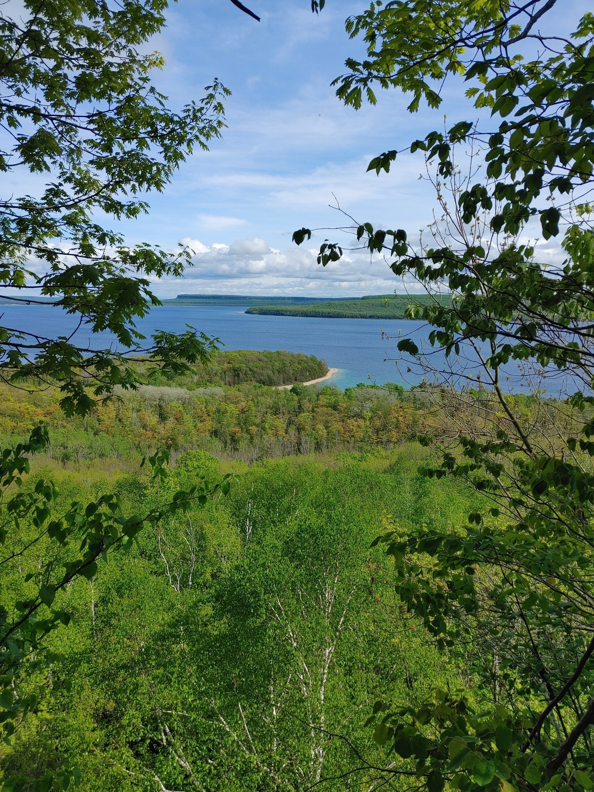
Peninsula Blue Series - VI Side Trails between Cape Dundas and Jackson's Cove
https://hikes.brucetrail.org/event/peninsula-blue-series-vi-side-trails-between-cape-dundas-and-jacksons-cove/Sorry, the registration cut-off time for this hike has been reached.Not a member? Click here to join today!Hosting Club: Peninsula
Location (Google Maps): Jackson’s Cove Rd at the top of the hill just to the west of the trail [44.939526, -81.133319]
Hike Leader(s): Saabir Sohrab Click here to contact Hike Leader(s)
Pace: Leisurely, Medium
Terrain: Moderate
Distance: 7Description
We will meet at Jackson’s Cove Rd [44.939526, -81.133319] and carpool to the starting point at Rush Cove Rd [ 44.958806, -81.143985]. The hike includes Rush Cove, Shoreline Access, Pease, Jackson’s Cove Lookout, Jackson’s Cove and Cannon Side Trails.
Dress according to weather in layers. Bring water, lunch and wear appropriate footwear for rugged terrain.
Rain or shine.
Time commitment is approximately 3-4hrs.
Meeting place : Jackson’s Cove Rd at the top of the hill just to the west of the trail [44.939526, -81.133319]
Please arrive a few minutes before our starting time of 9:30am