Join us for a hike! Registration required:
All hikes available to BTC members. Some hikes are open to non-members.
TIP: The calendar view displays up to 7 hikes on a day, but often there are more. Click “More events” to see them all.
- 07June 7, 2026
Caledon Hills E2E in 4 - Hike #3
https://hikes.brucetrail.org/event/caledon-hills-4-hike-e2e-3/Sorry, the registration cut-off time for this hike has been reached.Not a member? Click here to join today!Hosting Club: Caledon Hills
Category: End-to-End
Location (Google Maps): Roadside parking – km 35.0 on Coolihans Sideroad, east of where the trail crosses the road.Hike Leader(s): Dan Patterson Click here to contact Hike Leader(s)
Pace: Medium – 3 to 4 km/hour
Terrain: Strenuous – hilly with steep climbs and some poor footing
Distance: 19.1 kmDescription
Meet at Coolihans Side Rd., roadside parking. We will shuttle to Willoughby Rd. at the end of Escarpment Sideroad to start our hike. Bring sufficient water, electrolytes, bug spray, sun glasses, lunch and snacks. Poles are helpful. Volunteers will be required to participate in shuttling and driver return as well as a sweep. - 08June 8, 2026No events
- 09June 9, 2026
Forks of the Credit
https://hikes.brucetrail.org/event/forks-of-the-credit-6/
Registration Required:
Click here to register for this hike (10 spots remaining)Hosting Club: Caledon Hills
Category: Tuesday Hikers
Location (Google Maps): Mississauga Rd. intersection with Elora-Cataract Trailway.
Driving direction: From Highway 401, north on Mississauga Rd., pass through Belfountain village, after crossing Cataract Rd. and Elora-Cataract Trailway, park on either side of the road.
Alternate direction: North on Highway 410, continue on Highway 10, at Caledon Village, left on Charleston Sideroad (24), left on Mississauga Rd., drive 2 km to the roadside parking.Hike Leader(s): Mohammad Shafiq Click here to contact Hike Leader(s)
Pace: Medium – 3 to 4 km/hour
Terrain: Moderate – some hills and/or some poor footing
Distance: 11 kmDescription
Will enter Forks of the Credit Conservation Area using Elora-Cataract Trailway and hike main Bruce Trail, Mill Pond Trail and parts of conservation trails.
Bring water and snack; poles are recommended.
Optional refreshment stop at one of the cafes nearby – more information on the hiking day.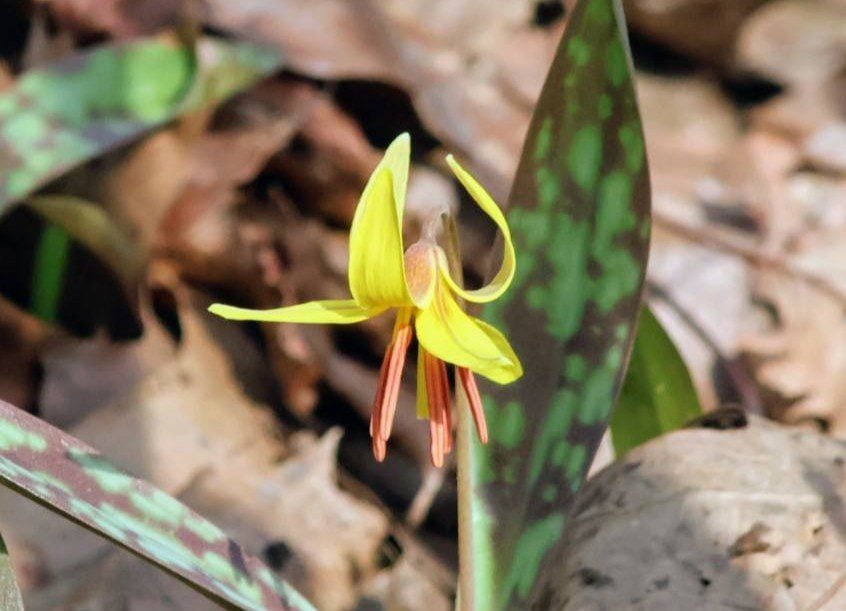
Terra Cotta Loop Hike
https://hikes.brucetrail.org/event/terra-cotta-loop-hike-2/Hike open to BTC Members only.
Registration Required:
Click here to register for this hike (5 spots remaining)Hosting Club: Caledon Hills
Category: General
Location (Google Maps): Terra Cotta Conservation Area (entry fee $8 per person at the gate)
14452 Winston Churchill Blvd., Halton HillsHike Leader(s): Jane Hull Click here to contact Hike Leader(s)
Pace: Medium – 3 to 4 km/hour
Terrain: Moderate – some hills and/or some poor footing
Distance: 6.5 kmDescription
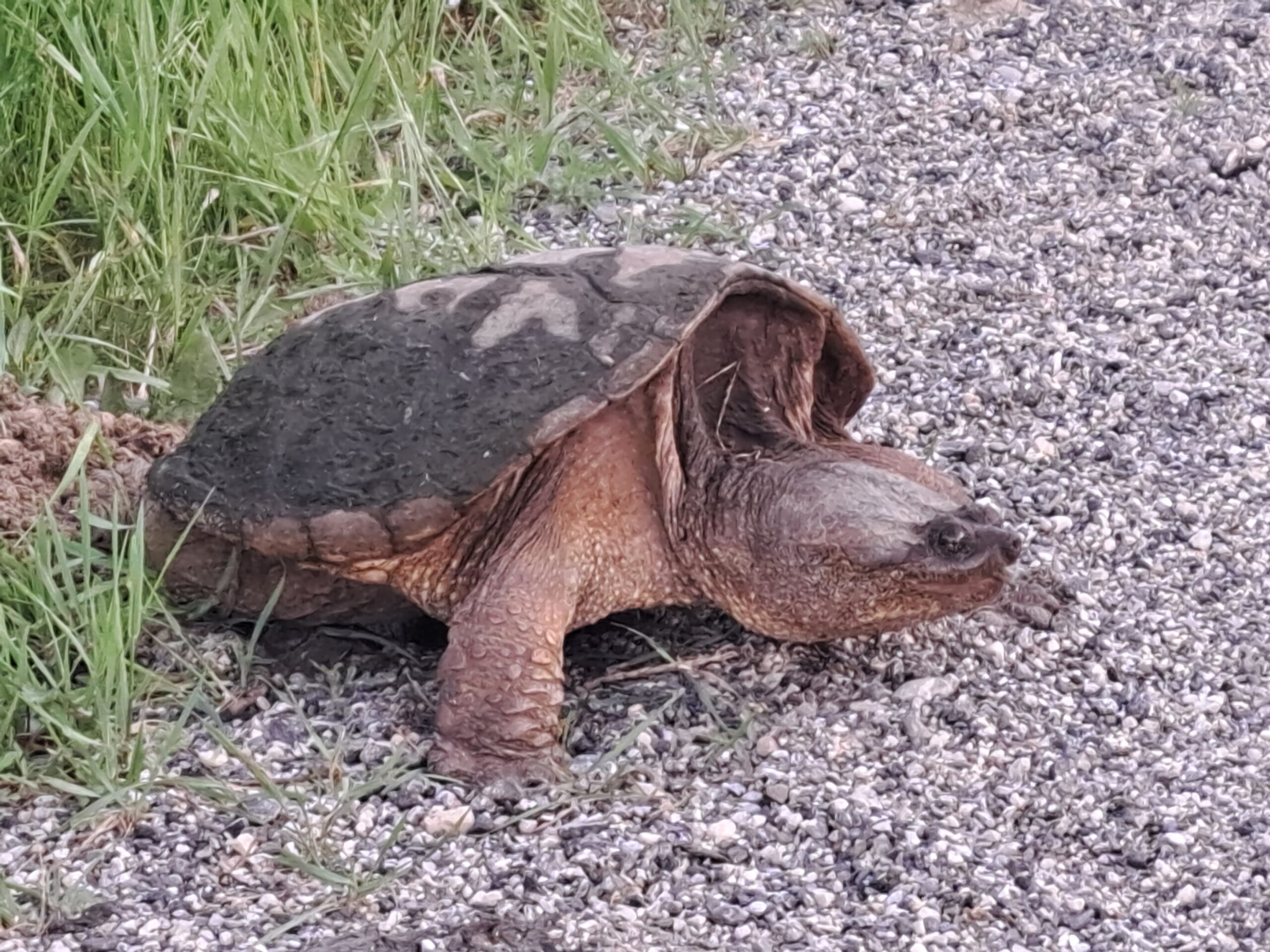
Join us for a late spring loop hike through Terra Cotta Conservation area. We will hike several of the trails (moderate difficulty with some hilly sections/roots/rocks) and may spot some remaining spring wildflowers, or see some painted turtles in the wetland ponds. Bring your choice of hydration and snacks.. Hiking boots/shoes required. Participants will be notified the night before if the hike must be cancelled due to inclement weather. - 10June 10, 2026No events
- 11June 11, 2026No events
- 12June 12, 2026No events
- 13June 13, 2026

Sydenham Stained Glass Badge E2E in 8 Hikes
https://hikes.brucetrail.org/event/sydenham-stained-glass-badge-e2e-in-8-hikes/This is a Multi-Day Hike
You are signing up for the following dates:
2026-06-13, 2026-06-14, 2026-06-20, 2026-06-21, 2026-06-27, 2026-06-28, 2026-07-04, 2026-07-05
Registration Required:
Registration Costs
Members - $30.00
Child Members - $30.00
Non-Members - $40.00
Child Non-Members - $40.00
REGISTRATION FULL: This hike has reached the maximum number of hikers.
Click here to be added to the Wait List.Hosting Club: Caledon Hills, Sydenham
Category: End-to-End
Location (Google Maps): Meet at a parking lot off of 6th Concession Road south.Hike Leader(s): Lily Li Click here to contact Hike Leader(s)
Pace: Brisk – 4 to 5 km/hour, Medium – 3 to 4 km/hour
Terrain: Moderate – some hills and/or some poor footing
Distance: 21 kmDescription
Earn the Hart’s Tongue Stained Glass / Fundraiser badge, which is part of the collectable Bruce Trail Clubs stained glass-themed fundraiser set. This is a special series of 8 hikes in 4 weekends to complete the Sydenham section of 166 kms. Hike distances range from 18 to 23 km each day with about 4 km/hour pace. The hike is intended to be moderate to brisk.Please dress according to the weather presented that day. Bring at least 2 liters of water and electrolytes, lunch, snack, hat, sunscreen and bug spray for the long day of hike.
This is a car shuttle hike. Please have your vehicle ready as everyone will be taking a turn either to drive to the start point of our hike or to get our drivers back at the end of the day.
Sydenham Lindenwood Road to Graham's Hill
https://hikes.brucetrail.org/event/sydenham-lindenwood-road-to-grahams-hill/
Registration Required:
Click here to register for this hike (9 spots remaining)Hosting Club: Caledon Hills
Category: General
Location (Google Maps): Meet at Bruce Trail Lindenwood Parking lot, 125.7 km, Bruce Trail Reference Guide Edition 31.Hike Leader(s): Dan Patterson Click here to contact Hike Leader(s)
Pace: Medium – 3 to 4 km/hour
Terrain: Moderate – some hills and/or some poor footing
Distance: 22.2 kmDescription
First stage in a two stage hike to Wiarton where Sydenham meets the Peninsula Section. We will shuttle to Graham’s Hill Rd. and hike 22.2 km back. Bring sufficient water, lunch, snacks, bug repellent. Hiking poles may be helpful in this area.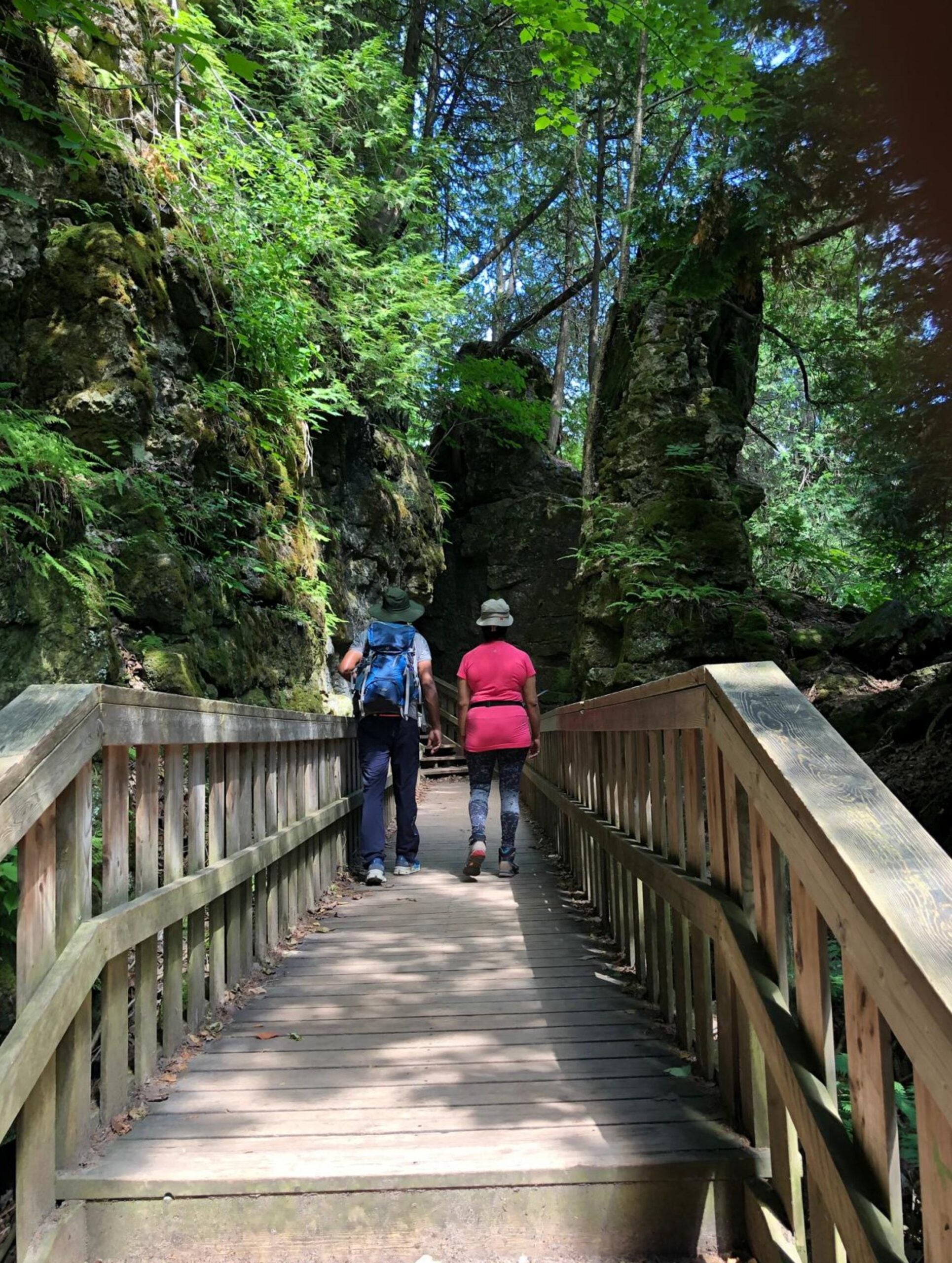
Mono Cliffs Provincial Park Scenic Hike
https://hikes.brucetrail.org/event/mono-cliffs-provincial-park-scenic-hike/
Registration Required:
Click here to register for this hike (11 spots remaining)Hosting Club: Caledon Hills
Category: Nature Walks
Location (Google Maps): •Do not go to the Mono Cliff Provincial Park Parking lot on 3rd Line EHS, this is the wrong place.
•Meet the hike leader at the Mono Centre parking lot. The entrance to the parking area is on your right, just before a tennis court.
. Please arrive 15 minutes before the start time.Hike Leader(s): Priyantha(Pri) Amarasinghe Click here to contact Hike Leader(s)
Pace: Leisurely – 3 km/hour or less
Terrain: Moderate – some hills and/or some poor footing
Distance: 10 kmDescription
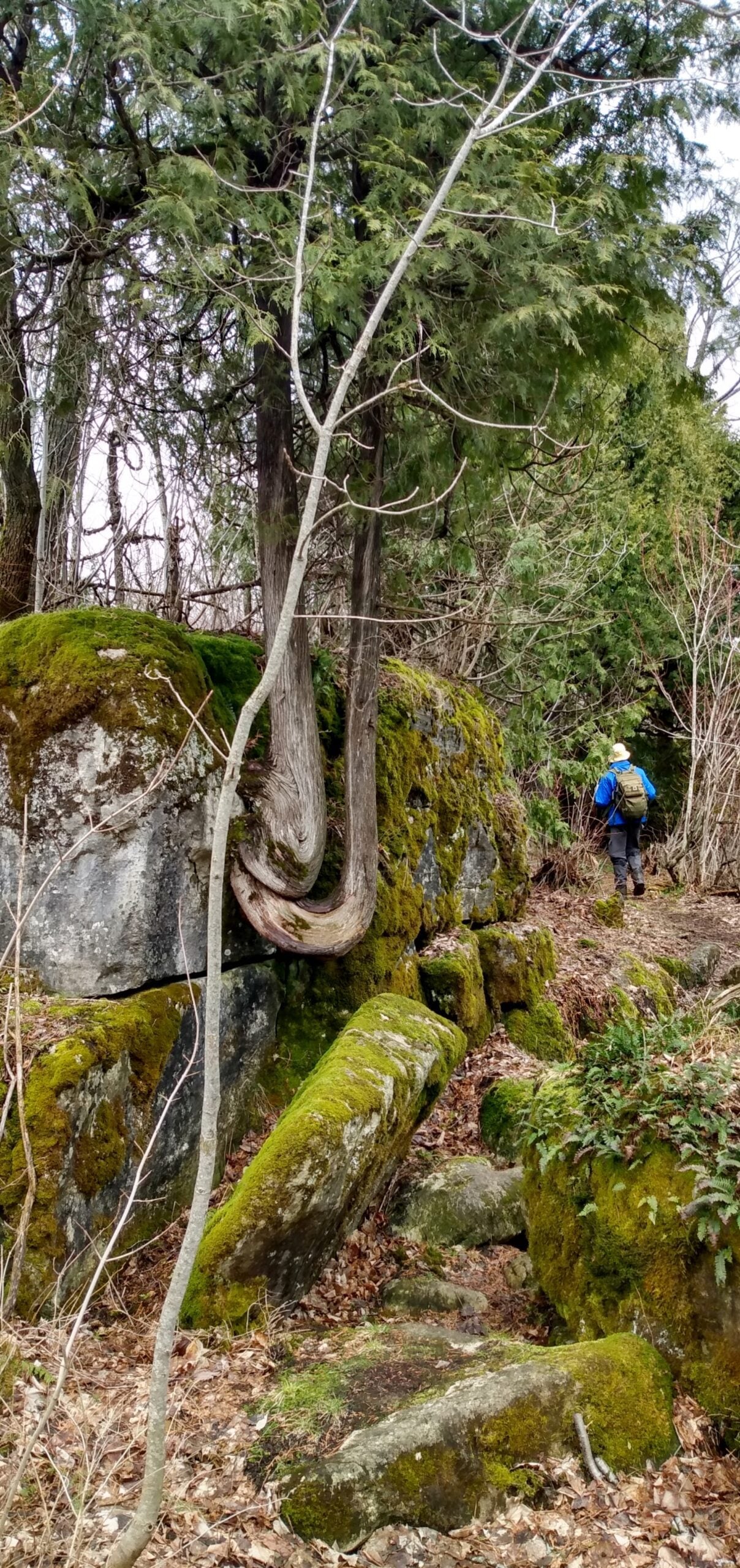
This loop hike is one of the more popular forest adventures in Mono Cliffs. Its trail system offers a great deal of diversity, featuring marshes, dry woods, ponds, and rolling hills that lead to several excellent viewpoints.Among the several trails within the park, we take on a combination of the most scenic sections, including the main Bruce Trail, the Clifftop Side Trail with stops at the wooden steps going down to the escarpment valley for pictures and walking back up, and continue hiking further north to the Lookout deck for a good view of the plain below. Next stop is at Scenic Rock Cliffs/Jacobs Ladder (there are 45 steel steps to reach the bottom deck for beautiful rock cliff pictures and go back up the same way). We then hike further north past McCarston’s Lake onto the Lookout Trail for a scenic view of the highest point in the park, at 507m/1607 ft, before joining the Walter Tovell Side Trail, from where we hike back to the Mono Centre parking.
Most of the path is flat, grassy trail with a few rocky inclines and those metal and wooden steps as mentioned above.
Must haves
Good, well-broken hiking shoes, bug spray, water, a lunch snack, personal hygiene stuff/garbage bag to carry any food waste/wrappings and ideally a wide-brimmed sun hat or a cap to protect from the midday heat. Trekking poles are recommended.