Join us for a hike! Registration required:
All hikes available to BTC members. Some hikes are open to non-members.
TIP: The calendar view displays up to 7 hikes on a day, but often there are more. Click “More events” to see them all.
- 05April 5, 2026
Car Hike: 7th line to Airport Rd.
https://hikes.brucetrail.org/event/car-hike-7th-line-to-airport-rd-2/Sorry, the registration cut-off time for this hike has been reached.Not a member? Click here to join today!Hosting Club: Caledon Hills
Category: General
Location (Google Maps): 7th Line Parking Area – km 43.3Hike Leader(s): Lana Hubbard Click here to contact Hike Leader(s)
Pace: Brisk – 4 to 5 km/hour
Terrain: Moderate – some hills and/or some poor footing
Distance: 12 kmDescription
Join me for a quick spring hike as we go from the main parking lot on 7th line to Airport Rd. and back. This will complete a 12 km loop.Pace will be brisk, bring snacks and water. Might need icers.
Terrain isn’t very hilly.
- 06April 6, 2026No events
- 07April 7, 2026
Scotsdale Farm, Map 13
https://hikes.brucetrail.org/event/scotsdale-farm-map-13/Sorry, the registration cut-off time for this hike has been reached.Not a member? Click here to join today!Hosting Club: Caledon Hills
Category: Tuesday Hikers
Location (Google Maps): Scotsdale Farm parking lot.
From Highway 401 go north on Trafalgar Rd. until it merges with Highway 7, turn left on Highway 7, after about 4 km Trafalgar Rd. will branch-out to the right, take Trafalgar Rd., entrance to Scotsdale Farm is on the right after about 1.5 km. An unpaved road leads to the parking.Hike Leader(s): Mohammad Shafiq Click here to contact Hike Leader(s)
Pace: Medium – 3 to 4 km/hour
Terrain: Moderate – some hills and/or some poor footing
Distance: 10-11 kmDescription
Will go on main Bruce Trail and side trails in Scotsdale and Silver Creek Conservation Area, Maureen Smith and parts of Bennett Heritage in a loop.
Bring water, snack.
Poles and gaiters are recommended.
Bug spray may be needed.
Hike leader’s contact # 416-566-0503. - 08April 8, 2026No events
- 09April 9, 2026No events
- 10April 10, 2026No events
- 11April 11, 2026
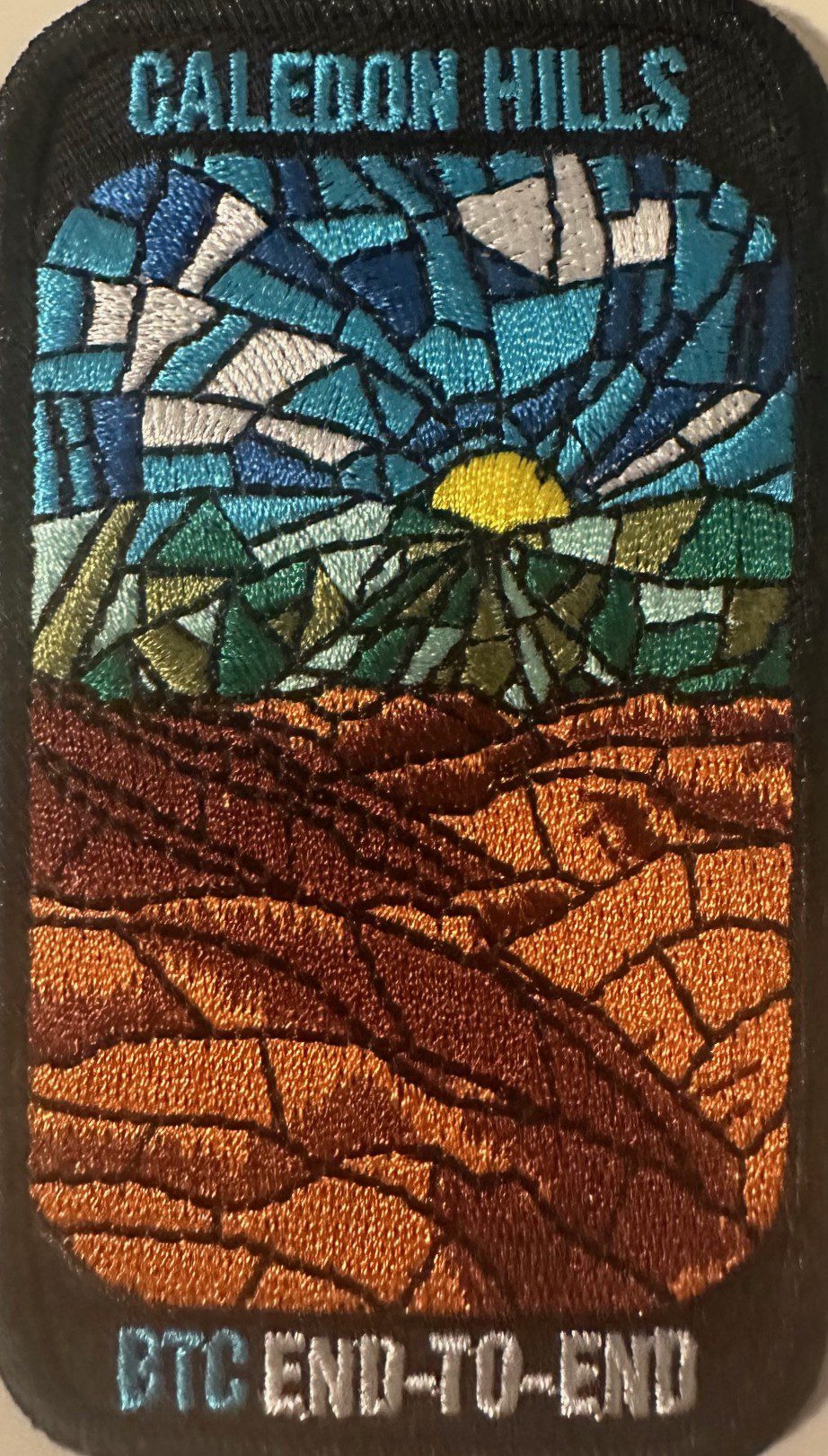
Caledon Hills E2E Stained Glass Badge Hike in 4 Hikes
https://hikes.brucetrail.org/event/caledon-hills-e2e-stained-glass-badge-hike-in-4-hikes-2/Sorry, the registration cut-off time for this hike has been reached.Not a member? Click here to join today!This is a Multi-Day Hike
You are signing up for the following dates:
2026-04-11, 2026-04-12, 2026-04-18, 2026-04-19Hosting Club: Caledon Hills
Category: End-to-End
Location (Google Maps): Meet at the designated roadside parking along the southwest shoulder of the Willoughby Road near Escarpment Sideroad intersection.Hike Leader(s): Lily Li Click here to contact Hike Leader(s)
Pace: Brisk – 4 to 5 km/hour, Medium – 3 to 4 km/hour
Terrain: Moderate – some hills and/or some poor footing
Distance: 18.3 kmDescription
Earn the Cheltenham Badlands Stained Glass/Fundraiser badge, which is part of the collectable Bruce Trail Clubs stained glass-themed fundraiser set. Hike distances range from 17 km to 20 km for the 4-day end to end series.Please dress according to the weather presented that day. Bring snacks, lunch and water (electrolytes) for a long day of hike.
This is a car shuttle hike. Please have your vehicle ready as everyone will be taking a turn either to drive us to the start point of our hike or to get our drivers back at the end of the day.
Car Hike: Forks of the Credit
https://hikes.brucetrail.org/event/car-hike-forks-of-the-credit-6/Sorry, the registration cut-off time for this hike has been reached.Not a member? Click here to join today!Hosting Club: Toronto, Caledon Hills
Category: Car Hike
Location (Google Maps): Forks of the Credit Provincial ParkHike Leader(s): Al Brown Click here to contact Hike Leader(s)
Pace: Moderate (3-4 km/hr)
Terrain: Hilly, Level 2 (Intermediate – some hills and uneven surfaces, rocks and roots underfoot)
Distance (km): 12 kmDescription
We will complete a loop hike through the Park, crossing the Credit River above the Cataract Falls. The hike will take us by the the Cataract Falls and along the east bank of the Credit River then north through the main park past glacial features and old homesteads. Trail conditions should be dry.The meeting point is the intersection of Mississauga Road and Cataract Road. Parking is located on both sides of the road. Park in marked areas only.