Join us for a hike! Registration required:
All hikes available to BTC members. Some hikes are open to non-members.
TIP: The calendar view displays up to 7 hikes on a day, but often there are more. Click “More events” to see them all.
- 13April 13, 2025No events
- 14April 14, 2025No events
- 15April 15, 2025
Hockley Valley, Map 18 - HIKE CANCELED
https://hikes.brucetrail.org/event/hockley-valley-map-18/Sorry, the registration cut-off time for this hike has been reached.Not a member? Click here to join today!Hosting Club: Caledon Hills
Category: Tuesday Hikers
Location (Google Maps): Meet at Hockley Road parking lot, north of Hockley Rd. and east of 2nd Line EHS.
DIRECTION: Go on Highway 410 north, this becomes Highway 10 north. After passing through Orangeville turn right on Hockley Road (7), drive about 5 km, shortly after passing 2nd Line EHS, BT parking lot is on the left.Hike Leader(s): Mohammad Shafiq Click here to contact Hike Leader(s)
Pace: Medium – 3 to 4 km/hour
Terrain: Strenuous – hilly with steep climbs and some poor footing
Distance: 10 kmDescription
Will hike parts of Hockley Valley trails; Glen Cross, Isabel East and Tom East connected by sections of main Bruce Trail. Bring hydration drink and snack. Hiking poles are strongly recommended, the distance may be shortened depending on weather conditions. Pace will vary due to hilly sections.
After hike there is optional refreshment stop, Hockley General or other cafe nearby. - 16April 16, 2025
Glen Haffy
https://hikes.brucetrail.org/event/glen-haffy-2/Sorry, the registration cut-off time for this hike has been reached.Not a member? Click here to join today!Hosting Club: Caledon Hills
Category: General
Location (Google Maps): Meet at the roadside parking on Coolihans Sideroad, km 35.0 Map 17, near where the Trail crosses the road. This is just west of the intersection of Glen Haffy Road and Coolihans Sideroad (even though the GPS coordinates are showing just to the east). It is best to aim for arriving around 8:15, so we can start hiking as close to 8:30 am as possible. Thanks!Hike Leader(s): Elizabeth Ganong Click here to contact Hike Leader(s)
Pace: Medium – 3 to 4 km/hour
Terrain: Moderate – some hills and/or some poor footing
Distance: Approximately 6 kmDescription
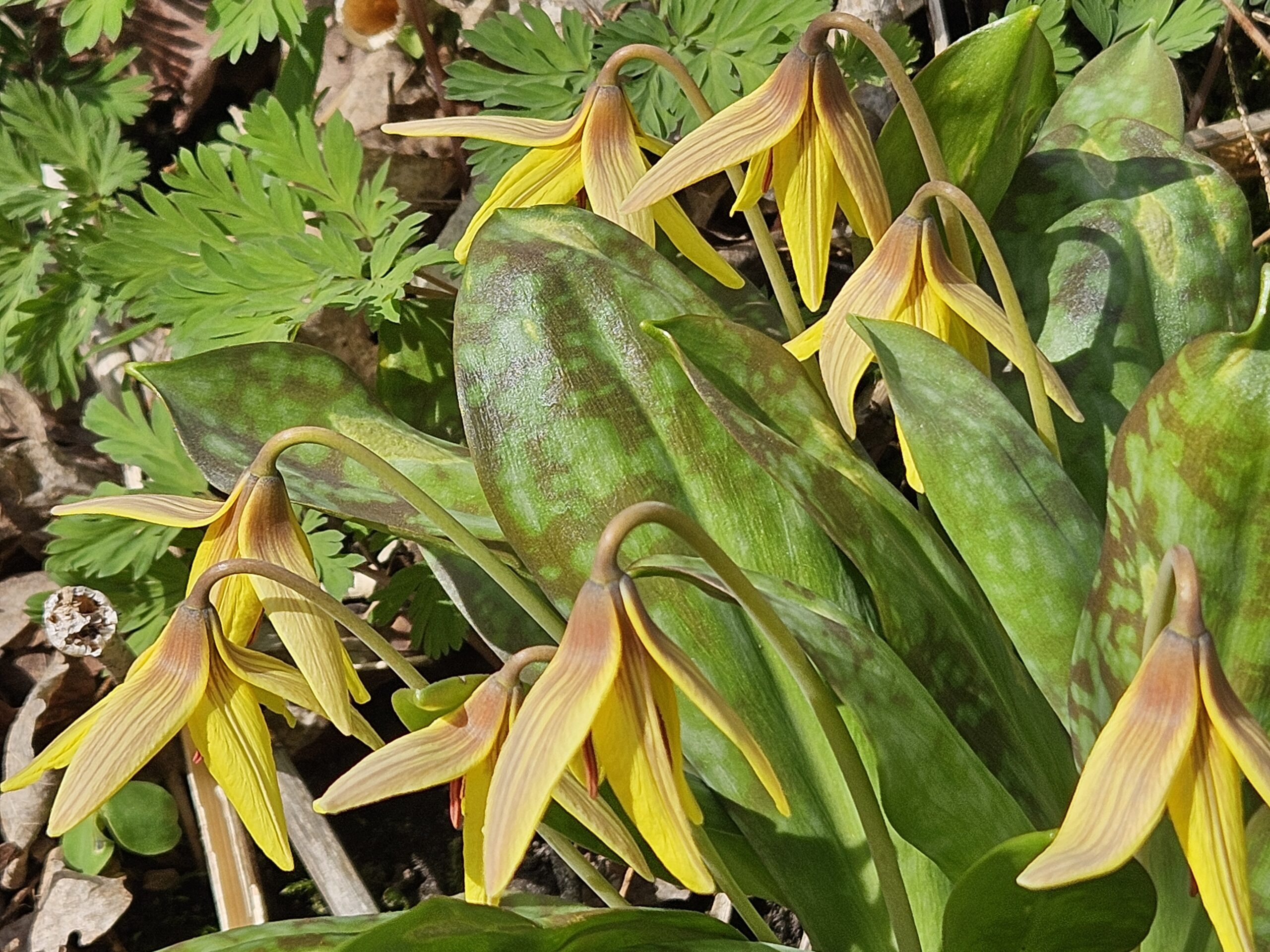
For today’s hike, we’ll follow the main Bruce Trail and conservation trails to make an approximately 6 km route. The pace will be leisurely in parts, so you can take a moment to enjoy the carpet of spring flowers, seemingly changing weekly this time of year. Consider the following as you prepare for the hike: a hat, insect repellent, sunscreen, hiking boots/shoes, poles. You are encouraged to bring water and a snack as there will be a short break. No dogs please. You can expect a reminder/update message one or two days before the hike. - 17April 17, 2025No events
- 18April 18, 2025No events
- 19April 19, 2025
New Hikers Nature Walk
https://hikes.brucetrail.org/event/new-hikers-nature-walk/Sorry, the registration cut-off time for this hike has been reached.Not a member? Click here to join today!Hosting Club: Caledon Hills
Category: Nature Walks
Location (Google Maps): Location: Meet at roadside parking at the dead end of Boston Mills Rd., about 400 m west of Mississauga Rd. Note: please do not block the private driveway.Directions: From Hwy 10 take Boston Mills Rd. 6 km west to the dead end just west of Mississauga Rd. An alternative is to take Mississauga Rd. north from King St. about 3 km, turn left on Boston Mills Rd. for about 400 m
Hike Leader(s): Richard Smythe Click here to contact Hike Leader(s)
Pace: Leisurely – 3 km/hour or less
Terrain: Easy – mostly flat and usually good footing, Moderate – some hills and/or some poor footing
Distance: 3.8 kmDescription
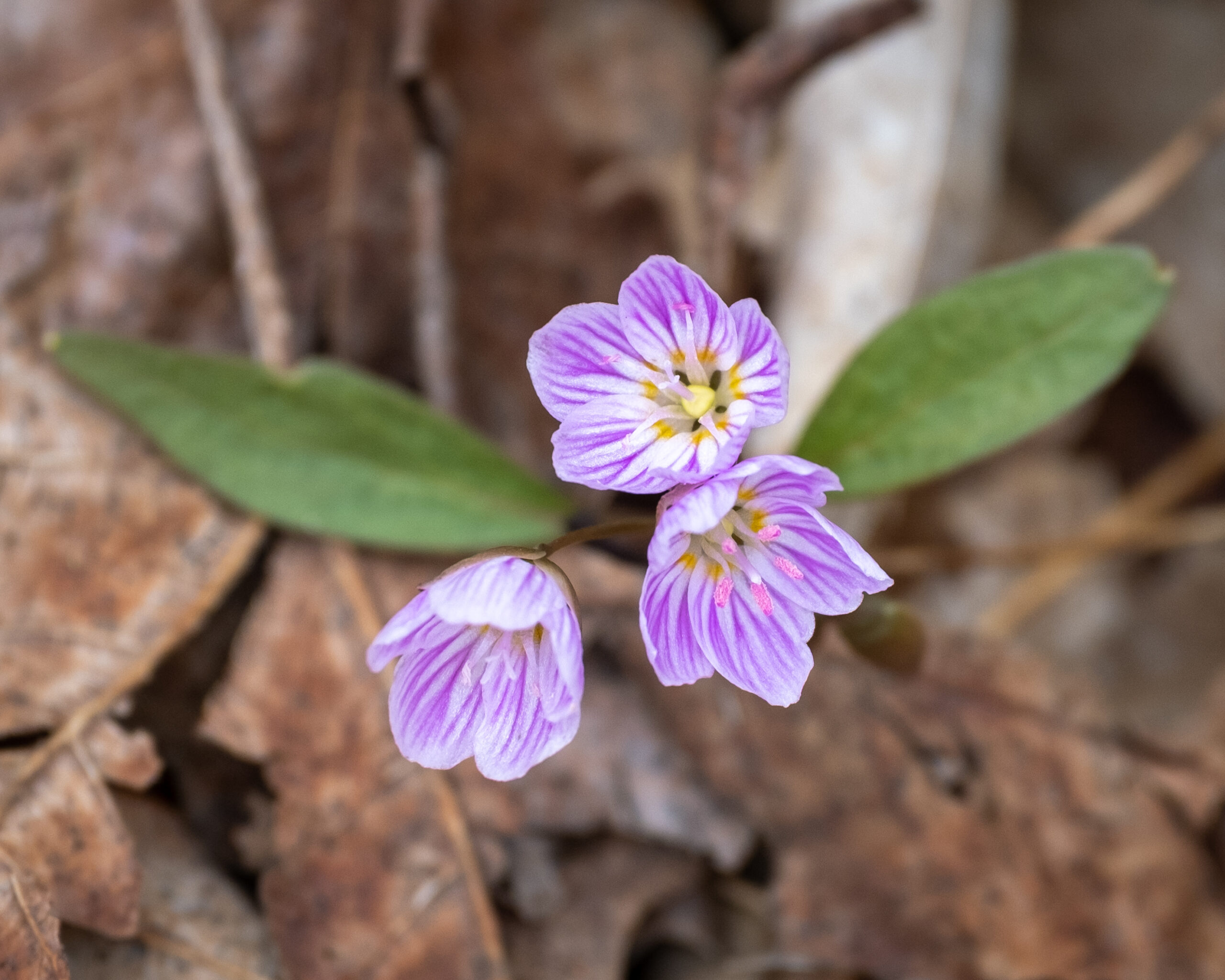
There and back on both the Main Trail and the Rockside Side Trail, about 3.8 km, with some hills, puddles, mud and rugged sections. Sturdy boots and hiking poles are recommended. The pace will be slow at times with numerous stops to observe the spring ephemerals, listen to bird song and take photos. Bring your binoculars, camera and cellphone. Apps like Merlin, Seek, and iNaturalist will help identify flora and fauna along the route.