Join us for a hike! Registration required:
All hikes available to BTC members. Some hikes are open to non-members.
TIP: The calendar view displays up to 7 hikes on a day, but often there are more. Click “More events” to see them all.
- 25August 25, 2024No events
- 26August 26, 2024No events
- 27August 27, 2024

Founders’ Footpath Finalists “B & C”
https://hikes.brucetrail.org/event/founders-footpath-finalists-b-c/Sorry, the registration cut-off time for this hike has been reached.Not a member? Click here to join today!Hosting Club: Caledon Hills
Category: General
Location (Google Maps): Finalist B: Park at BTC parking lot on the east side of the 5th Line EHS, just south of Hockley Road, 43.993572, -80.014057Driving Directions:
From ON-10 turn east onto Hockley Road/Dufferin County Road 7. Drive for 9.5 kilometres. Turn south/right onto 5 Line E/5th Line EHS. The parking lot is on the left in 100 metres.Finalist C: Park at BTC Parking Lot, 713377 1st Line EHS, Mono, 43.959916, -80.070494.
Driving Directions:
From the 5th Line EHS parking lot return to Hockley Road. Turn left and proceed to 3rd Line EHS. Turn left and continue to 5 Sideroad. Turn right onto Side Road 5 for 1.5 kilometres. Turn right onto 1st Line EHS for approximately 1 kilometre. Continue straight into the parking lot.Hike Leader(s): Sandy Green Click here to contact Hike Leader(s)
Pace: Medium – 3 to 4 km/hour
Terrain: Strenuous – hilly with steep climbs and some poor footing
Distance: 11.5 kmDescription
The Founders’ Footpath is a Bruce Trail Conservancy initiative to mark the upcoming 60th Anniversary of the founding of the Bruce Trail. Help the CHBTC select a section of the trail that best exemplifies the founders’ intentions. Explore Finalist B: Main Trail km 48.9 – 52.1, Hemlock Ridge Side Trail 0.61 km, and Glacier Valley Side Trail 0.58 km; Airport Road to 5th Line EHS Parking Lot; BTC Protected Areas: Cedar Highlands, Galbraith, and Hemlock Ridges. Once complete, the group will drive to Finalist C: Goodyear Memorial Side Trail 2.2 km, Rushing Rivers Side Trail 0.2 km, and Upland Side Trail 1.2 km; BTC Protected Areas: The Akela and Scouters Heather and Ross Hamlin at Riverside Woods Nature Reserve, and Rushing River Nature Reserve. Bring snacks and your choice of hydration. Sturdy footwear is highly recommended.These hikes can be logged towards earning the 60 for the 60th Anniversary badge.
60 for the 60th Anniversary Badge Hike Series - #7 of 10
https://hikes.brucetrail.org/event/60-for-the-60th-anniversary-badge-hike-series-7-of-10/Sorry, the registration cut-off time for this hike has been reached.Not a member? Click here to join today!Hosting Club: Caledon Hills
Category: General
Location (Google Maps): Roadside parking along the southwest shoulder of the Willoughby Rd. and Escarpment Sideroad intersection; km 15.9, Map 15.Hike Leader(s): Joyce Redford 416-988-8753 Click here to contact Hike Leader(s)
Pace: Leisurely – 3 km/hour or less
Terrain: Moderate – some hills and/or some poor footing
Distance: 6 kmDescription
Join Joyce, Louise, and Marilyn on this 2 hour, 6 km hike which is the 7th in the series of hikes for the new “60 for the 60th Anniversary” badge. We will hike west toward Puckering Lane and back. Hike one, a few, or all 10 hikes. Join any hike and make up the rest on your own as long as a record is kept of their hikes to submit on completion to obtain their badge. Participants who complete all 10 hikes will be eligible to purchase the “60 for the 60th” badge.
Bring poles, and hydration. - 28August 28, 2024No events
- 29August 29, 2024
Walk and Talk Rocks
https://hikes.brucetrail.org/event/walk-and-talk-rocks/Sorry, the registration cut-off time for this hike has been reached.Not a member? Click here to join today!Hosting Club: Caledon Hills
Category: General
Location (Google Maps): Meet at 9 am at the parking lot at Mono Community Centre.Hike Leader(s): Elizabeth Ganong Click here to contact Hike Leader(s)
Pace: Leisurely – 3 km/hour or less
Terrain: Moderate – some hills and/or some poor footing
Distance: Approximately 9.5 kmDescription
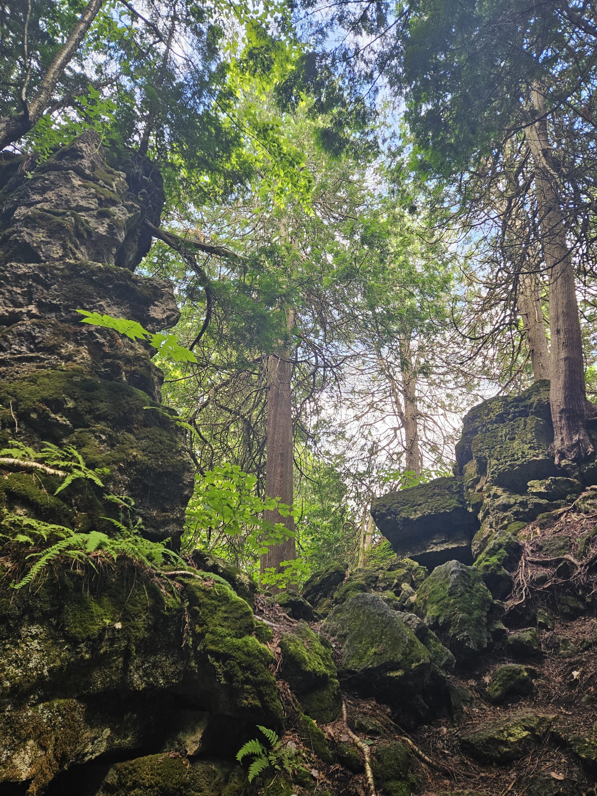
Let’s rock it out and explore the geology of Mono Cliffs. We’ll hike mainly at a leisurely pace over the approximately 9.5 km route as we cover many of the highlights of Mono Cliffs Provincial Park. Dr. Kathy Wallace will provide an introductory-level look at the geology of the park that welcomes your curiosity. Plan on a lunch break at a spectacular look-out, a total time out just under 4 hours, and having your way of engaging with the trail expanded. This interactive hike was created for a small group, so we apologize in advance if there is more interest than spaces. In consideration of this, the hike may be repeated in September or October. No dogs please. - 30August 30, 2024

Loop Hike #4 - Hockley Crest
https://hikes.brucetrail.org/event/loop-hike-4-hockley-crest/Sorry, the registration cut-off time for this hike has been reached.Not a member? Click here to join today!Hosting Club: Iroquoia, Caledon Hills
Category: General Hike
Location (Google Maps): Parking Lot on Mono 5 Sideroad, on the north side where the Trail crosses.Hike Leader(s): Pati Greenwood, Jeff Dowsett Click here to contact Hike Leader(s)
Pace: Medium – 3 to 4 km/hr
Terrain: Strenuous – Hilly with steep climbs and some poor footing
Distance: 14 KMDescription
We will follow the main BT and take in several side trails to make a 14 KM hike with several loops. There will be a few steep climbs. Bring plenty of water and a snack. Please arrive by 8:15 am as we will leave promptly at 8:30 am. - 31August 31, 2024
Lana's Challenge Series: Hockley Valley Loop 1/3
https://hikes.brucetrail.org/event/lanas-challenge-series-hockley-valley-loop/Sorry, the registration cut-off time for this hike has been reached.Not a member? Click here to join today!Hosting Club: Caledon Hills
Category: General
Location (Google Maps): Hockley Valley Nature Reserve, Map 18. To reach the meeting point, drive north on Hwy 10 from Orangeville and turn right onto Hockley Road. Continue approximately 5 km east until you see the parking area on your left, directly across the road from the Black Birch restaurant.Hike Leader(s): Dylan “Lana” Hubbard Click here to contact Hike Leader(s)
Pace: Brisk – 4 to 5 km/hour
Terrain: Strenuous – hilly with steep climbs and some poor footing
Distance: 25 kmDescription
Join us for an epic adventure through one of the hilliest sections of the Bruce Trail. We’ll park at Hockley Valley Provincial Park on Hockley Rd. and hike north, sticking to the main trail through the park. The route includes Dunby Rd., 3rd Line, and 15 Sideroad, leading us through the scenic Anderson Tract. Continuing south, we’ll return to Hockley Rd. and back to the parking lot via the main trail. This is a seriously difficult hike—be honest about your fitness level. No dropouts!We are committed to providing an inclusive and welcoming environment. This hike is an 2SLGBTQ+ safe space, and everyone is welcome to join us!
Please bring 3L of water, lunch, lots of snacks and smiles. 🙂
PS, this hike will happen rain or shine, and yes! this is a car hike! (no shuttling required)