Join us for a hike! Registration required:
All hikes available to BTC members. Some hikes are open to non-members.
TIP: The calendar view displays up to 7 hikes on a day, but often there are more. Click “More events” to see them all.
- 30May 30, 2024
Beaver Valley End-to-End Hike 6 of 9
https://hikes.brucetrail.org/event/beaver-valley-end-to-end-hike-6-of-9/Sorry, the registration cut-off time for this hike has been reached.Not a member? Click here to join today!Hosting Club: Caledon Hills
Category: End-to-End
Location (Google Maps): Meet at 3rd Line off of Fox Ridge Rd. km 39.3, Map 27 (Ed. 31). Shuttle to start at Beaver Valley Lookout.Hike Leader(s): Nancy Mooney Click here to contact Hike Leader(s)
Pace: Medium – 3 to 4 km/hour
Terrain: Moderate – some hills and/or some poor footing, Strenuous – hilly with steep climbs and some poor footing
Distance: 39.3 – 50.0 + 0.8 from parking = 11.5 km totalDescription
This is the sixth hike in the series and includes Old Baldy Lookout and McCluskey’s Rock.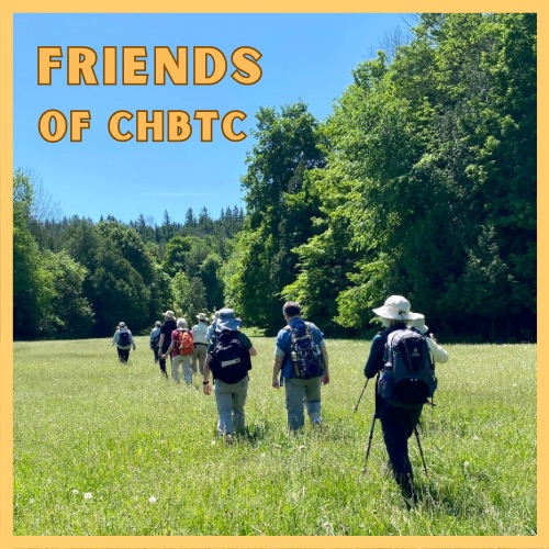
Nature Seekers - Exploring the Hockleycrest Area
https://hikes.brucetrail.org/event/nature-seekers-exploring-the-hockleycrest-area/Sorry, the registration cut-off time for this hike has been reached.Not a member? Click here to join today!Hosting Club: Caledon Hills
Category: Introductory
Location (Google Maps): Meet at the Bruce Trail Parking Lot on Mono 5 Sideroad on the north side of the road where the Trail crosses. Google GPS Coordinates: 43.974055, -79.984988Directions: From Airport Road turn east onto 5 Sideroad and drive for 600 metres. The parking lot is on the left hand side.
Hike Leader(s): Sandy Green Click here to contact Hike Leader(s)
Pace: Leisurely – 3 km/hour or less
Terrain: Moderate – some hills and/or some poor footing
Distance: 5.5 kilometresDescription
Loop through the Hockleycrest area on main and side trails. Bring your choice of hydration and snacks. Sturdy footwear is highly recommended. This hike can be counted towards your 60 for the 60th Connecting People With Nature badge.