- HikeType General Hike
- HikeIcon https://hikes.brucetrail.org/wp-content/uploads/formidable/7/IMG_1131-scaled.jpeg
- PaceTypes ,Brisk - 4 to 5 km/hr,Medium - 3 to 4 km/hr
- TerrainTypes ,Dependent on Conditions,Moderate - Some hills and/or some poor footing
- PaidOuting No
This is a Multi-Day Hike
You are signing up for the following dates and times:
2026-05-16 at 08:00
2026-05-17 at 08:00
2026-05-18 at 08:00
2026-05-23 at 08:00
2026-05-24 at 08:00
Hosting Club: Iroquoia
Category: General Hike
Location (Google Maps): Day 1 – May 16,2026 – 26.8km
meet at Oxford Line 33 shoulders. Coordinates: 43.2526, -80.9853
shuttle to Water St N beside tennis courts. Coordinates: 43.2491, -81.1498
Day 2 – May 17,2026 – 24.8km
Meet at Perth Road 111. Coordinates: 43.3764, -80.9377
shuttle to Oxford Line 33 shoulders. Coordinates: 43.2526, -80.9853
Day 3 – May 18,2026 – 20.9
Meet at Peth Rd. 104. 8 spots north of trail head at Lisbon Cemetery; do not block entrance to cemetery. Coordinates: 43.4362, -80.7882
shuttle to Perth Road 111. Coordinates: 43.3764, -80.9377
Day 4 - May 23, 2026 – 29km
Meet at Wideman Rd, shoulder. Coordinates: 43.4714, -80.6159
Shuttle to Peth Rd. 104. 8 spots north of trail head at Lisbon Cemetery; do not block entrance to cemetery. Coordinates: 43.4362, -80.7882
Day 5 - May 24, 2026 – 27km
Meet at Golf Course Rd / Priddle Park, parking sth side for several cars, or at display board at bend in road. Coordinates: 43.5418, -80.494
Shuttle to Wideman Rd, shoulder. Coordinates: 43.4714, -80.6159
Hike Leader(s): IgorT Click here to contact Hike Leader(s)
Pace: Brisk - 4 to 5 km/hr, Medium - 3 to 4 km/hr
Terrain: Dependent on Conditions, Moderate - Some hills and/or some poor footing
Distance: 25-30
Description
Please join me to explore Avon trail E2E in 5 days.
We going to hike 20 – 30 km a day.
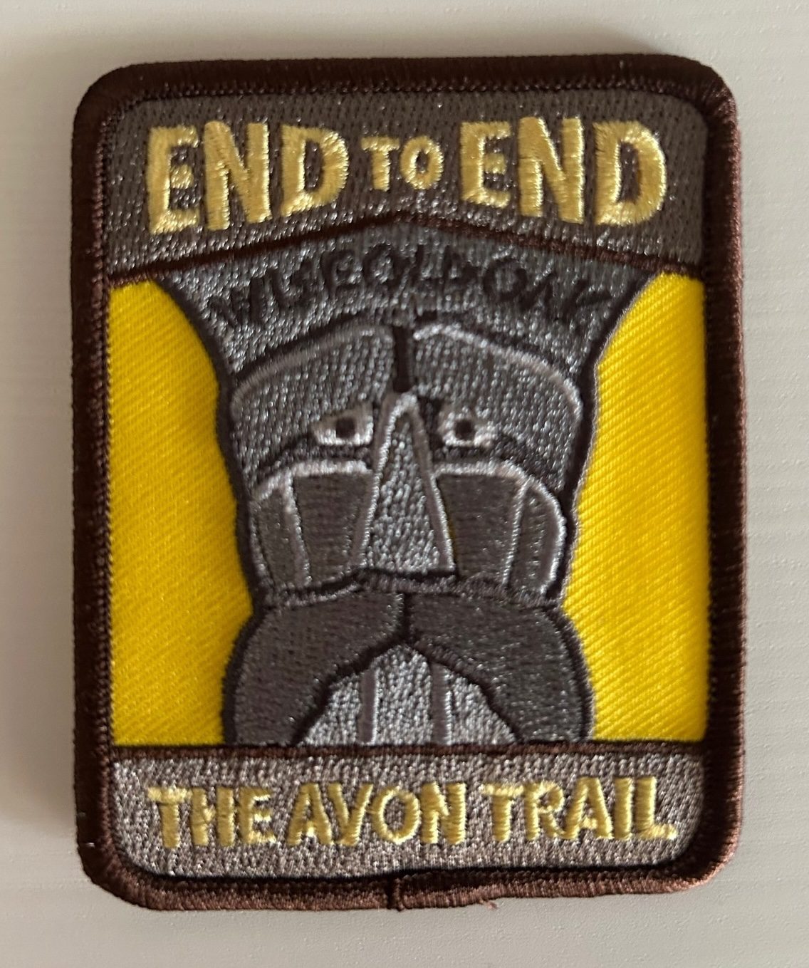
This is a Challenger series of hikes; we will complete the entire 128 km of the Avon trail in 5 hikes.
You are welcome to come on just a few of the hikes or on all of them, but you will have to complete the missing areas of the trail on your own and submit the log for the E2E badge.
You can join WhatApp group if you wish to share photos and conversation about the hike.
By the end of the hike, you can apply for badge thru https://avontrail.ca/ or badge can be provide to you at last day. There 3 different options of you choose.
We meet at meeting point at 8am every day. Please arrive 10min before.
Please know your physical limit before signing up for this hike. The trail is a combination of road and trails.
Hikers will be expected to participate in shuttling to and from the hike. Responsibility will be shared equally.
Please bring at least 2l of water and enough snacks & lunch to get you through the day as well as bug spray, sunscreen, a first aid kit and poles if you use them. There are no dropouts. If you cannot finish the hike, you will be responsible for getting back to your vehicle.
No dogs.
Any questions may be directed through contact on this form.
If you cannot make it, please remove yourself from registration so that a spot can be opened for someone else.