
- HikeType Car Hike
- HikeIcon https://hikes.brucetrail.org/wp-content/uploads/formidable/7/marker_car-hikes.png
- PaceTypes Brisk (4-5 km/hr)
- TerrainTypes ,Challenging,Flat,Hilly,Level 2 (Intermediate - some hills and uneven surfaces, rocks and roots underfoot),Rocky,Variable
- PaidOuting No
Hosting Club: Toronto
Category: Car Hike
Location (Google Maps): 103.8KM Roadside Parking on Twiss Rd.
Hike Leader(s): Alina Lin
Pace: Brisk (4-5 km/hr)
Terrain: Challenging, Flat, Hilly, Level 2 (Intermediate - some hills and uneven surfaces, rocks and roots underfoot), Rocky, Variable
Distance: 19 km
Description
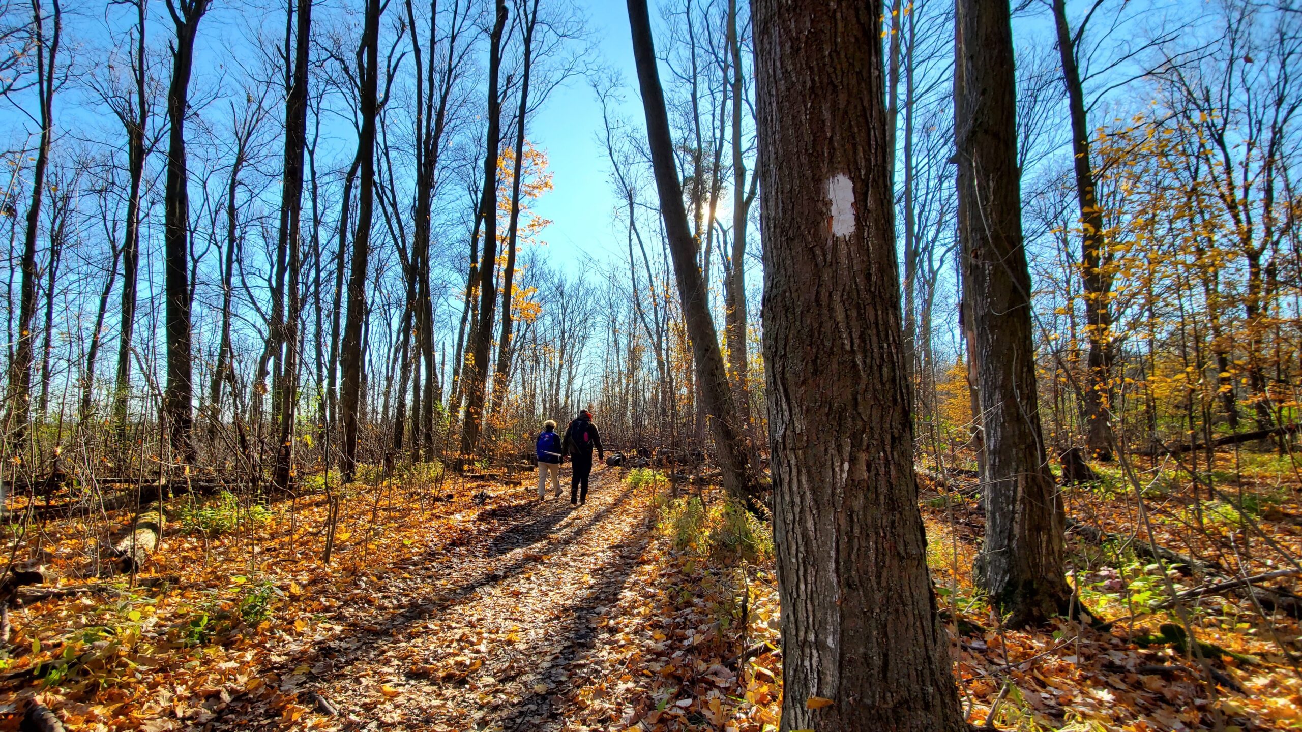
It’s the end of the fall colors, but it’s still lovely to walk in the forest, watching the last leaves swirl down in the wind and listening to the sound of footsteps on the thick carpet of fallen leaves.
This is the 7th hike of an End-to-End series covering the entire Iroquoia Bruce Trail section. The full section stretches over 120 kilometers from Grimsby to Milton. I am using Map Edition 29 to plan the hikes, and so please note that kilometer markings may not be fully up to date, and actual hiking distances may vary slightly.
Meeting Point:
103.8KM @ Roadside Parking on Twiss Rd, North of Derry Rd. GPS: 43.447743, -79.953436. Please arrive before 8:45am to allow time for car shuttle coordination.
We will car shuttle to KM121.3. Kelso Conservation Area. Enter from Tremaine Rd between Steeles Ave nd Highway401. GPS: 43.503204, -79.947548. From there to hike back to KM103.8. Entrance fee applies at Kelso Conservation Area, see details at https://www.conservationhalton.ca/park-fees-membership-rates/
All drivers are expected to participate in the car shuttle, either before or after the hike. All hikers are expected to chip in for parking fees, if applicable.
Important Notes:
- Wear sturdy hiking footwear and dress appropriately for the weather
- Bring snacks, and at least 1.5L of water
- No dropouts available.
- No pets.