- HikeType Nature Walks
- PaceTypes Leisurely - 3 km/hour or less
- TerrainTypes Moderate - some hills and/or some poor footing
- PaidOuting No
Hosting Club: Caledon Hills
Category: Nature Walks
Location (Google Maps): Bruce Trail Parking Lot at Riverside Woods
713377 1st Line EHS, Mono
Google GPS Coordinates: 43.959916, -80.070494
Driving Directions:
From Hwy #10 north of Orangeville, turn east on Hockley Road.
Drive for 1.1 km.
Continue straight onto Side Road 5 for 1.6 km.
Turn left onto 1st Line EHS for 900 metres.
Continue straight into the parking lot.
FYI, there is an outhouse in the parking lot.
***DO NOT take 1st Line EHS south from Hockley Road. It is NOT maintained. Google Maps may suggest this impassable route.
Hike Leader(s): Sandy Green Click here to contact Hike Leader(s)
Pace: Leisurely - 3 km/hour or less
Terrain: Moderate - some hills and/or some poor footing
Distance: 5 km
Description
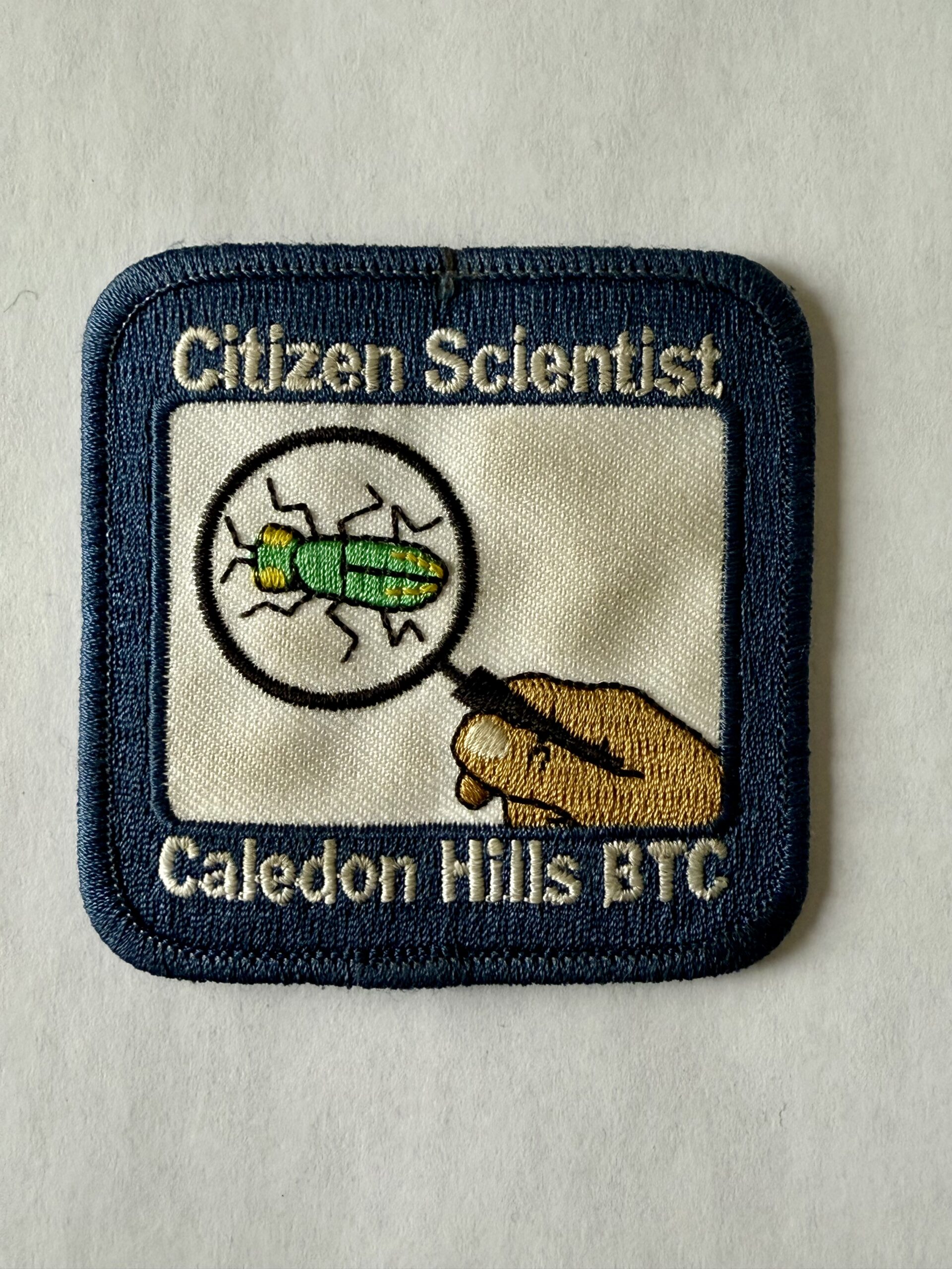
Pique your curiosity about the awakening forest at the Riverside Woods Nature Reserve. Learn to use nature identification apps Merlin, Seek and iNaturalist to collect biodiversity data along the Bruce Trail for the BTC’s iNaturalist Project. Badge seekers can work towards earning the CHBTC Citizen Scientist badge.