
The BTC office will be closed on Mon. Oct. 12 for the holiday. Thank you for your understanding.
Hike Schedule
Join us for a hike! Registration required.
All hikes available to BTC members. Some hikes are open to non-members.
See Refund Policy for Paid Hikes >
TIP: The calendar view displays up to 7 hikes on a day, but often there are more. Click “View more events” to see them all.
Niagara
Iroquoia
Toronto
Caledon Hills
Dufferin Hi-Land
Blue Mountains
Beaver Valley
Sydenham
Peninsula
All Clubs
Show Filters
Categories
Reset Filters
- 07December 7, 2025
Car Hike: 7th line to Airport Rd.
https://hikes.brucetrail.org/event/car-hike-7th-line-to-airport-rd/Sorry, the registration cut-off time for this hike has been reached.Not a member? Click here to join today!Hosting Club: Caledon Hills
Category: General
Location (Google Maps): 7th Line Parking Area – km 43.3Hike Leader(s): Lana Hubbard Click here to contact Hike Leader(s)
Pace: Brisk – 4 to 5 km/hour
Terrain: Moderate – some hills and/or some poor footing
Distance: 12 kmDescription
Join me for a quick fall hike as we go from the main parking lot on 7th line to Airport Rd and back. This will complete a 12 km loop.Pace will be brisk, bring snacks and water.
Terrain isn’t very hilly.
Scotsdale Farm Great Esker
https://hikes.brucetrail.org/event/scotsdale-farm-great-esker-3/Sorry, the registration cut-off time for this hike has been reached.Not a member? Click here to join today!Hosting Club: Iroquoia
Category: General Hike
Location (Google Maps): Scotsdale Farm 8th Line parking lotHike Leader(s): Karen Bergmann Click here to contact Hike Leader(s)
Pace: Medium – 3 to 4 km/hr
Terrain: Moderate – Some hills and/or some poor footing
Distance: 10 kmsDescription
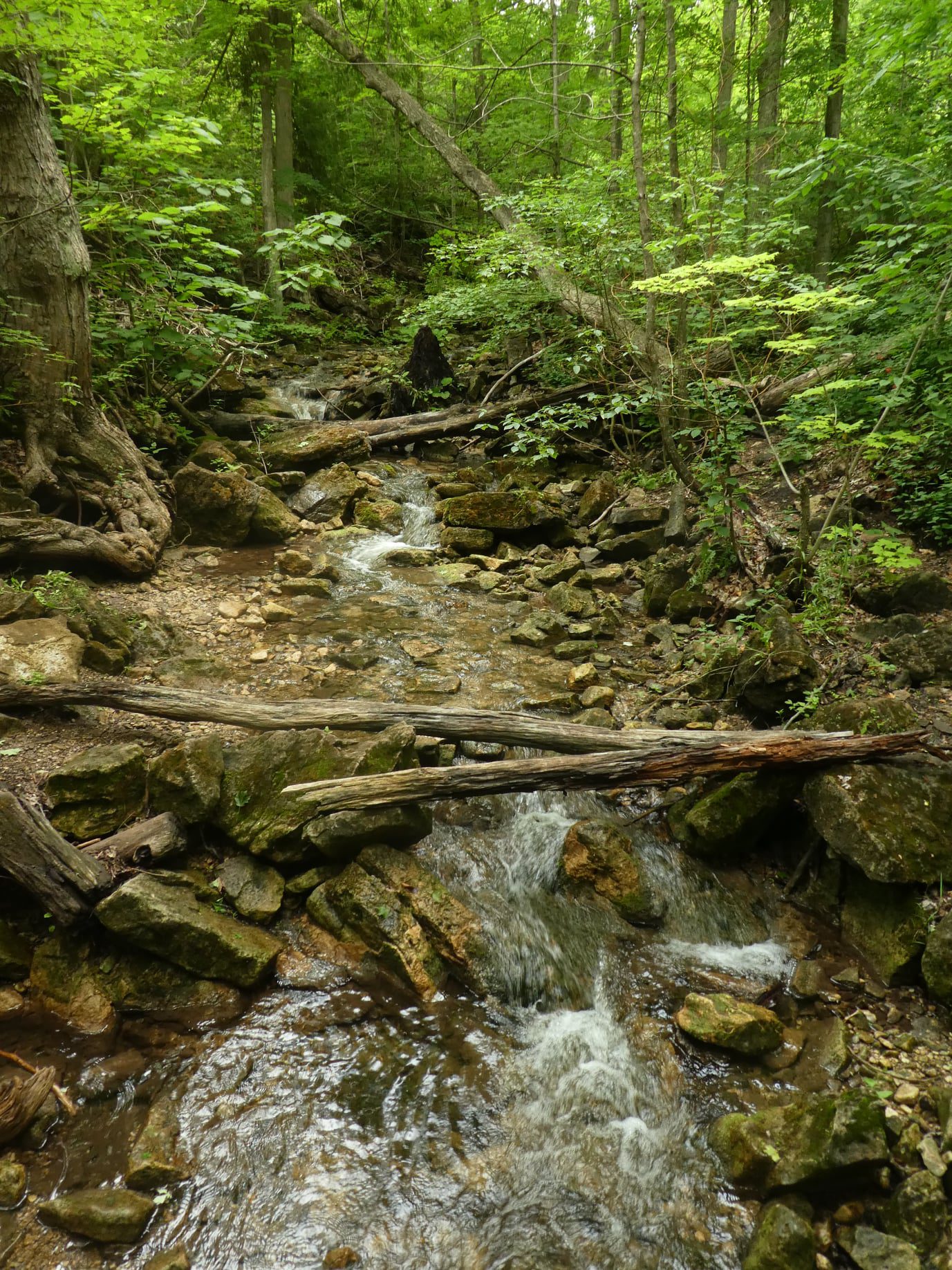
Meet in the parking lot off 8 Line at 9:15 am. We’ll hike the Maureen Smith Side Trail to the main trail and around the Great Esker Side Trail, back to the main trail and the Bennet Heritage Side Trail for a total of about 10 kms. There are some hills. Bring water and a snack.
Fantasy of Trees - Special Event
https://hikes.brucetrail.org/event/fantasy-of-trees-special-event/Sorry, the registration cut-off time for this hike has been reached.Not a member? Click here to join today!Hosting Club: Iroquoia
Category: Special Event
Location (Google Maps): Grimsby – Lion’s Club Pool Parking Lot – 1 Elm StreetHike Leader(s): Ruth Moffatt Click here to contact Hike Leader(s)
Pace: Medium – 3 to 4 km/hr
Terrain: Easy – Mostly flat and usually good footing, Moderate – Some hills and/or some poor footing, Strenuous – Hilly with steep climbs and some poor footing
Distance: 6.5kmDescription
A hike and a viewing of the Fantasy of Trees – what could be better to get us all into the holiday spirit?! We will meet at the Lion’s Club Pool parking lot in Grimsby at 1 Elm St. Our hike will take us up to Beamer’s Memorial Conservation Area where we will hike and admire all the wonderful views this area has to offer. Then we will hike over to view the waterfalls and then double back and hike back down the hill where we will change our shoes if they are muddy. If the trails aren’t muddy, we will proceed to the Grimsby Museum and admire all the wonderful trees that have been decorated by volunteers and sponsored by local businesses and individuals. Want a chance to win a one-year Bruce Trail Membership (must be redeemed by end of 2025) and prize pack? There’s one on the raffle table donated by Ruth, your hike leader.This is a free event but if you’d like to buy tickets, they are available on site. This is the last day of the event which is held every year by Grimsby Rotary. All proceeds go back to charitable organizations in the community.
The hill climb is considered strenuous but the rest of the hike is moderate. Please bring enough water and snacks and icers, just in case.
Urban Walk: Humber River Rowntree Mills LRT Station to Lawrence
https://hikes.brucetrail.org/event/urban-walk-humber-river-rowntree-mills-lrt-station-to-lawrence/Sorry, the registration cut-off time for this hike has been reached.Not a member? Click here to join today!Hosting Club: Toronto
Category: Urban Walk
Location (Google Maps): Rowntree Mills Station on Finch West LRT Line (at Islington Avenue and Finch). This is opening weekend so crowds are likely. You can also take the Islington Bus from Islington Station.
Allow extra time at Finch West Station if you plan to take the LRT.Hike Leader(s): Tom Swales Click here to contact Hike Leader(s)
Pace: Moderate (3-4 km/hr)
Terrain: Level 1 (Easy – mostly on flat, well maintained trails with hard-packed surface), Variable
Distance: 10 kmDescription
Join us for a ride on the newly opened Finch West LRT to Rowntree Mills Station (Islington Avenue) from where we will hike south on the Humber River to Lawrence Avenue and Weston Road. From there you can walk to the Weston GO Station which will now have 30 minute service to Bloor Station and Union Station to connect with the TTC so you will have a complete transit experience – ride to Bloor to connect with TTC’s Line 2 Subway for just $0.30 more with a Presto Card. Our hike will take us on scenic parts of the Humber River Recreational Trai,l with a break for a short stretch on Weston Road, on mostly flat and paved surfaces.Exploring Sydenham Hike #37 Mystery Cabin
https://hikes.brucetrail.org/event/exploring-sydenham-hike-37-mystery-cabin/Sorry, the registration cut-off time for this hike has been reached.Not a member? Click here to join today!Hosting Club: Sydenham
Category: General Hike
Location (Google Maps):The Owen Sound Galaxy Cinema parking lot. Meet at the tall “Galaxy Centre” sign next to the traffic lights.
Hike Leader(s): Bill Snel Click here to contact Hike Leader(s)
Pace: Leisurely: 3 km/h or less
Terrain: Moderate: Some hills and/or poor footing, Strenuous: Hilly with steep climbs and some poor footing., There are crevices or holes which may be hidden by layers of snow. Hike with extreme caution., There might be icy and slippery sections.
Distance: 2.1 kmDescription
We will carpool to do a loop hike of the Mystery Cabin side trail. This is hike 37 in the book Exploring Sydenham. There will be one secret to find. If you do not have a book and would like one ($30) let me know by using the “Contact hike leader” link.
Winter Festival of Lights
https://hikes.brucetrail.org/event/winter-festival-of-lights/Sorry, the registration cut-off time for this hike has been reached.Not a member? Click here to join today!Hosting Club: Niagara
Category: Night
Location (Google Maps): Park at the Floral Showhouse, Niagara River Parkway, just south of the Falls. Parking fee. Annual parking pass is the best option.Hike Leader(s): Margaret Northfield Click here to contact Hike Leader(s)
Pace: Medium
Terrain: Easy
Distance: 5-6kmDescription
Get into the holiday spirit with a walk around the Festival of Lights. Wear warmer clothes than you normally would for a hike so you can stop and enjoy the sights.Hot apple cider and treats will be available following the hike. You are welcome to bring a treat to share.
- 08December 8, 2025
Caledon Hills E2E in 5 - Hike #2
https://hikes.brucetrail.org/event/caledon-hills-e2e-in-5-hike-2/Sorry, the registration cut-off time for this hike has been reached.Not a member? Click here to join today!Hike open to BTC Members only.
Hosting Club: Niagara
Category: Car Pool
Location (Google Maps): Meet at Innis Lake Rd north of Finnerty Sideroad. Carpool to SW shoulder of Willoughby & Escarpment Sideroad.Hike Leader(s): Robin Garrett Click here to contact Hike Leader(s)
Pace: Medium
Terrain: Strenuous
Distance: 15kmDescription
This End-to-End series will start 2kms south of the Cheltenham Badlands and end at the Mono Centre. Earn your E2E Caledon Hills badge in 5 hikes ($10 for members). We will be carpooling and will ask for volunteers to drive other hikers. Please take turns with the driving.Please bring poles, icers, water and lunch.
Colpoy's Bay Figure 8
https://hikes.brucetrail.org/event/colpoys-bay-figure-8/Sorry, the registration cut-off time for this hike has been reached.Not a member? Click here to join today!Hosting Club: Sydenham
Category: General Hike
Location (Google Maps): Colpoy’s Bay government dock parkingHike Leader(s): Susan Allen Click here to contact Hike Leader(s)
Pace: Medium: 3 to 4 km/h
Terrain: Moderate: Some hills and/or poor footing
Distance: 8 kmDescription
Description – Figure 8. First loop Main Trail and Whicher Side Trail. Second loop starts by crossing over County Rd 9 on the Main Trail (now heading towards Wiarton)Continue to the Bull Homestead barn foundation (at the top of Colpoy’s Hill). Return on road or retracing our steps on the Main Trail.Dress warmly in layers with good footwear. Hiking poles may be helpful. Bring water and snacks. Arrive 15 min before hike start time. Be prepared for mud, wet conditions, or snow!
- 09December 9, 2025

Heather & Steve's 3rd Annual Fall Cairn to Cairn - Niagara section
https://hikes.brucetrail.org/event/heather-steves-3rd-annual-fall-cairn-to-cairn-niagara-section/Sorry, the registration cut-off time for this hike has been reached.Not a member? Click here to join today!Hike open to BTC Members only.
This is a Multi-Day Hike
You are signing up for the following dates and times:
2025-12-09 at 07:45
2025-12-10 at
2025-12-16 at
2025-12-17 atHosting Club: Niagara, Caledon Hills
Category: End-to-End
Location (Google Maps): Vineland Estates Winery, 3620 Moyer Rd. (Capacity 10 cars)Hike Leader(s): Heather Murch Click here to contact Hike Leader(s)
Pace: Brisk – 4 to 5 km/hour
Terrain: Strenuous – hilly with steep climbs and some poor footing
Distance: 22.8 kmDescription
This hike series covers the Niagara section; 83 km over 4 days.We will meet each morning at 7:45 and be ready to shuttle at 8:00. Hikers will take turns shuttling and taking drivers to their cars each day. Any parking costs will be shared among hikers.
Hikers should wear layered clothing, hiking boots, poles, hat, sunscreen, bug spray, rain gear and bring plenty of water, snacks and lunch. We will hike rain or shine.
Full itinerary will be emailed to hikers the week before the first hike.
Urban Walk: Valley View Park Thornhill
https://hikes.brucetrail.org/event/urban-walk-valley-view-park-thornhill-124/Sorry, the registration cut-off time for this hike has been reached.Not a member? Click here to join today!Hosting Club: Toronto
Location (Google Maps): Parking lot is off Sycamore Drive East of Bayview , across Starbucks plaza
Bus 91 from Finch east station stops at Sycamore station.Hike Leader(s): Mohammad Aghamiri Click here to contact Hike Leader(s)
Pace: Moderate (3-4 km/hr)
Terrain: Hilly, Level 2 (Intermediate – some hills and uneven surfaces, rocks and roots underfoot)
Distance: 7-8 kmDescription
We will explore Valleyview and Maple View parks, and walk along German Mill Creak, in return we stop in Huntington park and have snack under beautiful shed.Although this is considered an “Urban Walk”, you can expect some hills up and down and uneven surfaces with tree roots. Please bring hiking poles, water and snacks.
phone number for the day of hike 289 588 6482
9:00 Long Hike Wiley Road Short Hills NEW TIME
https://hikes.brucetrail.org/event/900-long-hike-wiley-road-short-hills-new-time-9/Sorry, the registration cut-off time for this hike has been reached.Not a member? Click here to join today!Hosting Club: Niagara
Location (Google Maps):
Short Hills Wiley Road Entrance
Pace: Medium
Terrain: Moderate
: 10kmDescription
Explore Short Hills and the majestic side trails of Scarlett Tanager, Hemlock. Swayze Falls and Terrace. Register for each hikeBring Poles, , snack, and dress for the weather
9:15 Short hike, Pelham Road entrance, Short Hills
https://hikes.brucetrail.org/event/915-short-hike-pelham-road-entrance-short-hills-4/Sorry, the registration cut-off time for this hike has been reached.Not a member? Click here to join today!Hosting Club: Niagara
Location (Google Maps): Short Hills Provincial Park, Pelham Road entrance
Hike Leader(s): janet davey Click here to contact Hike Leader(s)
Pace: Medium
Terrain: Moderate
Distance: 6 kmsDescription
Hike the main and side trails in Short Hills Provincial Park. Please wear hiking boots and bring water.Hockley Valley-Tom East Loop
https://hikes.brucetrail.org/event/hockley-valley-tom-east-loop-2/Sorry, the registration cut-off time for this hike has been reached.Not a member? Click here to join today!Hosting Club: Dufferin Hi-Land
Category: Tuesday Hike
Location (Google Maps):Caledon Hills Section, Map 18, Meet at Hockley Rd parking lot on the north side of Hockley Rd, 250 meters east of 2nd line (near Km 61.1) at 9:30 am
Hike Leader(s): Inge Eckerich, Les Babbage , Julie Daley ,Tony Evangalista Click here to contact Hike Leader(s)
Pace: Leisurely
Terrain: Moderate, Slippery and Steep Sections
Distance: 5.6 Km, Short hike: 2.5 Km.Description
We will hike a loop consisting of Hockley Rd and Tom East Side Trails and Main Trail. Shorter hike will turn back where the Tom East trail turns sharply to the east. Bring water and snacks. Icers may be required. Hiking poles are recommended.Erindale Park
https://hikes.brucetrail.org/event/erindale-park/Sorry, the registration cut-off time for this hike has been reached.Not a member? Click here to join today!Hosting Club: Caledon Hills
Category: Tuesday Hikers
Location (Google Maps): 1695 Dundas Street W., Mississauga.
Driving direction: From Highway 403, go south on Erin Mills Parkway, turn left on Dundas Street, after passing Mississauga Rd. and bridge, Erindale Park entrance is on left. Be careful of the two way traffic at the entrance, it may be convenient to drive past and take u-turn at next traffic lights.
After entrance, drive about 300 meters to first parking lot on right, near washrooms.Hike Leader(s): Mohammad Shafiq Click here to contact Hike Leader(s)
Pace: Medium – 3 to 4 km/hour
Terrain: Moderate – some hills and/or some poor footing
Distance: 10 kmDescription
Will hike along Credit River between Erindale Park and Riverwood Conservancy, there and back.
After hike there is optional lunch stop at a nearby restaurant.
You may join hike only at your convenience. - 10December 10, 2025
HIKE CANCELLED, SPECIAL WEATHER STATEMENT FOR OUR AREA EASY DOES IT HIKE, Port Robinson
https://hikes.brucetrail.org/event/port-robinson-village-walkabout/Sorry, the registration cut-off time for this hike has been reached.Not a member? Click here to join today!Hosting Club: Niagara
Category: Cancelled
Location (Google Maps): Park at Port Robinson Park, 1 River St., Port Robinson, OntHike Leader(s): Diane Marlatt Click here to contact Hike Leader(s)
Pace: Leisurely
Terrain: Easy
Distance: 4 kmDescription

Niagara E2E in 6 - Hike #4
https://hikes.brucetrail.org/event/niagara-e2e-in-6-hike-4/Sorry, the registration cut-off time for this hike has been reached.Not a member? Click here to join today!Hosting Club: Niagara
Category: Car Pool
Location (Google Maps): Meet at DeCew House, DeCew Rd, Thorold. Carpool to Short Hills Provincial Park, Parking Lot B, Roland Rd.Hike Leader(s): Margaret Northfield Click here to contact Hike Leader(s)
Pace: Medium
Terrain: Moderate
Distance: 12.43kmDescription
This End-to-End series will start in Grimsby and end in Queenston. Upon completion of all 6 hikes, you can earn the new independent Brock monument badge. $10 for members and $15 for non-members. We will be carpooling and will ask for volunteers to drive other hikers. Please take turns with the driving.Poles, water and snack recommended.
Humpday Hikers - Forks of the Credit
https://hikes.brucetrail.org/event/humpday-hikers-forks-of-the-credit/Sorry, the registration cut-off time for this hike has been reached.Not a member? Click here to join today!Hike open to BTC Members only.
Hosting Club: Caledon Hills
Category: General
Location (Google Maps): Southwest shoulder of Willoughby Rd. and Escarpment Sideroad.
From ON-10 head west on Escarpment Sideroad until you meet Willoughby Road.
Also possible to take Willoughby Road south from 124 just west of Highway 10.Hike Leader(s): Jennie Greenfield; Mel Thornley Click here to contact Hike Leader(s)
Pace: Medium – 3 to 4 km/hour
Terrain: Strenuous – hilly with steep climbs and some poor footing
Distance: 9 kmDescription
This is the first hike in some new bi-monthly hikes – the Humpday Hikers. The hikes will be from 8 – 11 km in length with a short snack break. Option to join the group post hike at a local spot for refreshments and some comraderie.This hike loops through the Forks of the Credit Provincial Park with a stop at the Credit River. This hike has some big hills and can be strenuous.
Bring your choice of hydration and snack. Hiking boots, poles and carry your icers/crampons as it is possible to have snow this time of year.
If you can plan to come for a warm drink and treat at Coy Wolf Coffee in Inglewood after the hike.
Participants will be notified the night before if a hike must be cancelled due to inclement weather.
CANCELLED - Halton Agreement Forest
https://hikes.brucetrail.org/event/halton-agreement-forest-2/Sorry, the registration cut-off time for this hike has been reached.Not a member? Click here to join today!Hosting Club: Iroquoia
Category: General Hike
Location (Google Maps): Meet at the corner of 10 SR and 4th Line, off Guelph Line, north of Campbelville.Hike Leader(s): Karen Bergmann Click here to contact Hike Leader(s)
Pace: Medium – 3 to 4 km/hr
Terrain: Moderate – Some hills and/or some poor footing
Distance: 8 kmsDescription
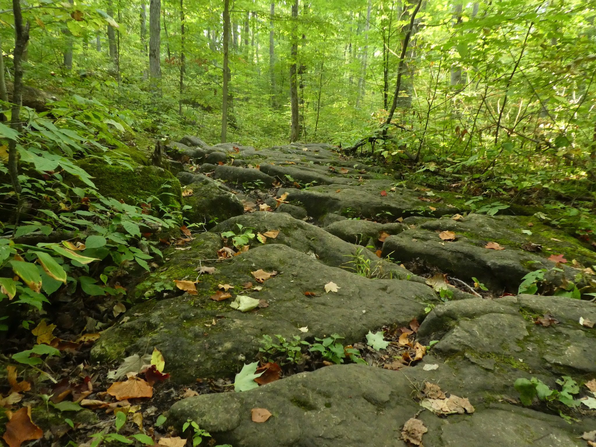
Meeting at 9:15 am, we will hike around the bike trails in this lovely Forest. Bring icers for your boots.Wednesday Walkers: Silent Valley WEATHER CANCELLATION
https://hikes.brucetrail.org/event/wednesday-walkers-silent-valley-2/Sorry, the registration cut-off time for this hike has been reached.Not a member? Click here to join today!Hosting Club: Beaver Valley
Location (Google Maps): Meet in the parking area on the road at the end of 2nd Concession South, Edition 31, Map 30, east of km 34.5
Hike Leader(s): Margaret Yaraskavitch Click here to contact the hike leader.
Pace: Medium
Terrain: Moderate, Some rocky footing, Some steep sections
Length of Hike: 5 kmDescription
This hike through Silent Valley is special. Cedar groves, scarp face and large boulders as well as the site of an old farm. Interesting historical features including the remains of a downed airplane. Please bring a drink and, if you’d like, a snack.Guidelines
- Arrive 15 minutes before the start of the hike.
- Wear sturdy footwear and appropriate attire for the weather and the terrain.
Hiking poles are a good idea in any season, especially if the terrain is rocky or slippery. In winter, snowshoes or icers/crampons are needed when conditions dictate.
Wearing appropriate clothing and footwear prevents injuries and shows consideration for a safe and positive group hiking experience. - Always carry I.D. and your health card.
- Bring sufficient water and snacks (or lunch if indicated). A minimum of 1L of water is recommended on all hikes, and 3L is recommended for long, challenging hikes in the heat of the summer.
- Bring sunscreen and insect repellent (for spring and summer hikes).
- Bring your own first aid kit.
- Please leave dogs at home.

Winter Wonders at Royal Botanical Gardens
https://hikes.brucetrail.org/event/winter-wonders-at-royal-botanical-gardens/Sorry, the registration cut-off time for this hike has been reached.Not a member? Click here to join today!Hike open to BTC Members only.
Hosting Club: Iroquoia
Category: Special Event
Location (Google Maps): We are meeting at Hidden Valley Park 1137 Hidden Valley Rd, Burlington, ON L7P
Please arrive and be ready to go by 7pm.
We will car shuttle over to the RBG in my vehicle and return to Hidden Valley around 9pm.Hike Leader(s): Ruth Moffatt Click here to contact Hike Leader(s)
Pace: Leisurely – 3km/hr or less
Terrain: Easy – Mostly flat and usually good footing
Distance: Less than 2kmDescription
We have a limited number of free tickets for this event. Please register only if you know you can attend.❄️ Dress for the weather – wear a festive hat, if you like.
💲Free
Other details are below.
Experience the magic of the season at Royal Botanical Gardens’ Winter Wonders! Hendrie Park transforms into a winter wonderland, featuring dazzling lights, festive art installations, and enchanting displays. Stroll the scenic pathways to the soundtrack of festive music.
- Expect to spend approximately 1-2 hours at this experience.
- Please leave your pets at home for this experience, pets are not permitted (service dogs excluded).
- Outside food and beverage will not be permitted.
- Please be aware that some areas of the garden contain fast moving, bright lights
https://www.rbg.ca/things-to-do/by-season/winter-wonders/
- 11December 11, 2025
Urban Walk: Valley View Park Thornhill
https://hikes.brucetrail.org/event/urban-walk-valley-view-park-thornhill-125/Sorry, the registration cut-off time for this hike has been reached.Not a member? Click here to join today!Hosting Club: Toronto
Location (Google Maps): Parking lot is off Sycamore Drive East of Bayview , across Starbucks plaza
Bus 91 from Finch east station stops at Sycamore station.Hike Leader(s): Mohammad Aghamiri Click here to contact Hike Leader(s)
Pace: Moderate (3-4 km/hr)
Terrain: Hilly, Level 2 (Intermediate – some hills and uneven surfaces, rocks and roots underfoot)
Distance: 7-8 kmDescription
We will explore Valleyview and Maple View parks, and walk along German Mill Creak, in return we stop in Huntington park and have snack under beautiful shed.Although this is considered an “Urban Walk”, you can expect some hills up and down and uneven surfaces with tree roots. Please bring hiking poles, water and snacks.
phone number for the day of hike 289 588 6482
9:00 am Long hike NEW Location. Bailey bridge Jordan
https://hikes.brucetrail.org/event/900-am-long-hike-new-location-bailey-bridge-jordan-3/Sorry, the registration cut-off time for this hike has been reached.Not a member? Click here to join today!Hosting Club: Niagara
Category: In and Out
Location (Google Maps):Bailey bridge Jordan
Hike Leader(s): Alan Laver Click here to contact Hike Leader(s)
Pace: Brisk
Terrain: Strenuous
Distance: 10kDescription
This will be our permanent Thursday Location until Bridge repairs complete. Hike up from the Bailey bridge to Balls Falls and explore the trailsYou must register for each hike. Bring Poles, snack and a drink. Dress for the weather
Hiking around Jordan
https://hikes.brucetrail.org/event/hiking-around-jordan-39/Sorry, the registration cut-off time for this hike has been reached.Not a member? Click here to join today!Hosting Club: Niagara
Location (Google Maps): 3640 Glen Road, Lincoln LOR 1SO
Hike Leader(s): Bill Russell Click here to contact Hike Leader(s)
Pace: Medium
Terrain: Moderate
Distance: 7 kmDescription
Hiking in and around Jordan, Jim Rainforth Trail and Balls Falls alternating every 3 weeks. - 12December 12, 2025
Brisk Fridays; Bayview Escarpment Nature Reserve
https://hikes.brucetrail.org/event/brisk-fridays/Sorry, the registration cut-off time for this hike has been reached.Not a member? Click here to join today!Hosting Club: Sydenham
Category: General Hike
Location (Google Maps): Roadside parking at the bend in the St. Vincent-Sydenham Townline, 5 km north of Highway 26. This location is found at km 52.7 on Map 30 of Edition 31 of the Bruce Trail Reference.
For directions using GPS Coordinates, open a map on your device by following the link embedded in “Google Maps” at the start of this description or copy them from here: 44.63754, -80.73343Hike Leader(s): Stewart Brown Click here to contact Hike Leader(s)
Pace: Brisk: 4 to 5 km/h
Terrain: Moderate: Some hills and/or poor footing
Distance: 13 kmDescription
The hike title says it all! A Friday morning hike at brisk pace for 3-4 hours on the Bruce Trail, even if the weather is, um, brisk. Brisk Fridays are right for you if you are looking for a faster hiking experience which energizes and enlivens. On this hike, we will traverse the inviting trails in the Bayview Escarpment Nature Reserve along the main Bruce Trail and the River Kwai Side Trail, looping back to our vehicles. Arrive 15 min early, dress in layers with good footwear. Poles may be helpful. Bring water and a snack. See you there!
Niagara-on-the-Lake Tour
https://hikes.brucetrail.org/event/niagara-on-the-lake-tour-19/Sorry, the registration cut-off time for this hike has been reached.Not a member? Click here to join today!Hosting Club: Niagara
Category: Urban
Location (Google Maps): Park on King St near Centre St at entrance to Veteran’s Memorial Park, Niagara-on-the-LakeHike Leader(s): Margaret Northfield Click here to contact Hike Leader(s)
Pace: Medium
Terrain: Easy
Distance: 6kmDescription
Each Friday we will explore some history of Niagara-on-the-Lake while getting a moderate paced walk. Discover where the Niagara River meets Lake Ontario. Experience the Heritage District, woods and the Niagara Parkway.Some weeks may be totally on sidewalks and roads while others may include a mix of trail and paved pathways.
Great way to build up endurance for longer more strenuous hikes.
Following the hike this week we are invited to Sharon & Graham Summerhayes’ home to celebrate the holidays together! Sharon & Graham provide holiday cheer and some tasty treats. You are welcome to bring along something to share. Address will be provided to hike registrants.
Terra Cotta Loop Hike
https://hikes.brucetrail.org/event/terra-cotta-loop-hike/Sorry, the registration cut-off time for this hike has been reached.Not a member? Click here to join today!Hosting Club: Dufferin Hi-Land
Category: General Hike
Location (Google Maps): End of Boston Mills Road to the immediate west of Mississauga Road. Between kms 47.4 and 48.3 on BTC Map 14. 43.75061558050969. -79.9517816135864Hike Leader(s): Stuart Law Click here to contact Hike Leader(s)
Pace: Medium
Terrain: Slippery Sections Likely, Moderate
Distance: 16.5 kmsDescription
Join us for a lovely early winter loop hike through the Terra Cotta Conservation Area. Terrain is rocky in spots and it will be icy and snowy as well for sure. Icers, hiking boots and gaiters essential. Poles recommended. Please bring a smile, water, a snack, warm drink and a lunch. Please be ready to hike at 9:15 am.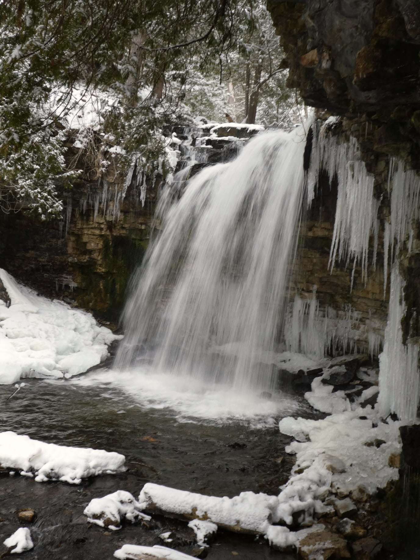
Hilton Falls (reservation required)
https://hikes.brucetrail.org/event/hilton-falls-reservation-required-3/Sorry, the registration cut-off time for this hike has been reached.Not a member? Click here to join today!Hosting Club: Iroquoia
Category: General Hike
Location (Google Maps): Meet in the parking lot at Hilton Falls Conservation Area at 9:15 am.Hike Leader(s): Karen Bergmann Click here to contact Hike Leader(s)
Pace: Medium – 3 to 4 km/hr
Terrain: Moderate – Some hills and/or some poor footing
Distance: 8 kmsDescription
Meeting at 9:15 am in the parking lot, we will hike to the Falls and then around to Bent Rim 1 and back to the cars. Reserve your time at conservationhalton.ca - 13December 13, 2025
Car Hike: Seaton Trail
https://hikes.brucetrail.org/event/car-hike-seaton-trail-2/Sorry, the registration cut-off time for this hike has been reached.Not a member? Click here to join today!Hosting Club: Toronto
Location (Google Maps): Seaton Trail Parking Lot, Pickering
Hike Leader(s): Mohammad Aghamiri Click here to contact Hike Leader(s)
Pace: Moderate (3-4 km/hr)
Terrain: Hilly, Level 2 (Intermediate – some hills and uneven surfaces, rocks and roots underfoot)
Distance (km): 12-14 kmDescription
We will hike along Seaton trail and enjoy the lovely scenery of forest and river.
Camino Hike
https://hikes.brucetrail.org/event/camino-hike-3/Sorry, the registration cut-off time for this hike has been reached.Not a member? Click here to join today!Hosting Club: Iroquoia
Category: Camino Hikes
Location (Google Maps):City View Park – Please enter via Dundas St onto Kerns Rd, second left to the parking area.</p
City View Park
From Dundas Street East, turn onto Kerns Rd. Take the second driveway on the left and follow it to the parking.Hike Leader(s): Ruth Moffatt Click here to contact Hike Leader(s)
Pace: Medium – 3 to 4 km/hr
Terrain: Moderate – Some hills and/or some poor footing
Distance: 8.5kmDescription
Whether you are Camino-curious, have hiked a Camino or just want to hike, please join us. It will be a great opportunity to share information about hiking a Camino or recommend books, films, outfitters, etc. Everyone is welcome.Please bring enough water, snacks and sturdy boots and icers if winter conditions are present. We will hike about 8.5km return, Medium pace and Moderate Terrain.
Woodend to St. Paul
https://hikes.brucetrail.org/event/woodend-to-st-paul/Sorry, the registration cut-off time for this hike has been reached.Not a member? Click here to join today!Hosting Club: Niagara
Category: Loop
Location (Google Maps): Woodend Conservation areaHike Leader(s): Lauren Doig Click here to contact Hike Leader(s)
Pace: Brisk
Terrain: Moderate
Distance: 18 kmDescription
Meet at Woodend Conservation Area, just off of Taylor Rd and hike to St. Paul, taking a few side trails along the way.Bring water, snacks. Dress for the weather. Bring icers
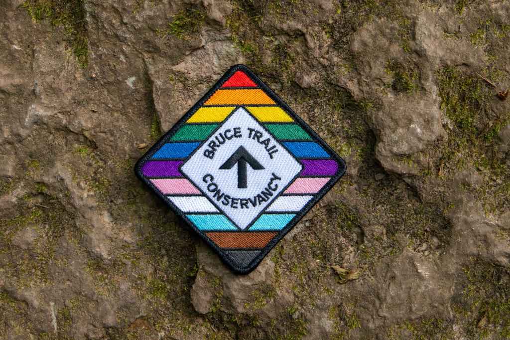
RAINBOW HIKE: Ancaster, Three Waterfalls + a Hiker Cafe
https://hikes.brucetrail.org/event/rainbow-hike-ancaster-3-waterfalls-a-hiker-cafe/Sorry, the registration cut-off time for this hike has been reached.Not a member? Click here to join today!Hosting Club: Iroquoia
Category: Rainbow Hike
Location (Google Maps): Parking lot at corner of Wilson & Academy, downtown AncasterHike Leader(s): Doug O’Neill Click here to contact Hike Leader(s)
Pace: Medium – 3 to 4 km/hr
Terrain: Moderate – Some hills and/or some poor footing
Distance: 13 -14 kmDescription
This queer-led, all-inclusive 2SLGBTQIA+ hike starts in downtown Ancaster, connects with the Bruce Trail—stopping at three waterfalls—then follows a mishmash of sidetrails with lunch at the Trail Centre/Historic Train Station (indoor washroom facilities, warming station). Arrive by 9:15 a.m. for a 9:30 a.m. start.Fully accessible by Hamilton Public Transit or car. We’ll start and end in the same spot, no shuttle or carpooling required.
What’s a Rainbow Hike: The aim of the Bruce Trail’s Rainbow Hikes is to create a safe, welcoming space for 2SGBTQIA+ hikers—including trans, gay, lesbian, bisexual, queer, Two-Spirit, intersex, asexual, and straight friends—to show up and be themselves in a safe and friendly outdoor setting. Our hiking group typically includes 20 to 25 people representing a full spectrum of sexual orientations, gender identities, and expressions. Diversity Rules 🙂
Highlights for this hike: three waterfalls (Tiffany, Sherman and Canterbury), Hermitage ruins, Dundas Valley Conservation nature interpretation centre, replica Victorian-style train station, two train cabooses from the 1920s—with an optional post-hike visit to the gay-owned and operated Trails Cafe in downtown Ancaster.
Where to meet: We’ll rendezvous at the small parking lot right the corner of Wilson Street East and Academy in Ancaster (put 392 Wilson Street East into your GPS).Coming by Hamilton Transit: Take the 5A MEADOWLANDS via McMASTER bus from King and Bay, get off at Rousseaux at Wilson (in Ancaster), and walk 5 minutes (max) up Wilson street to our meeting spot.
Parking at corner oof Wilson Street East and Academy. Just look for the unpaved parking lot right at the corner. Free. If full, there’s also parking across the street.
If you arrive early and you need to visit the loo or wait in a warm place, there’s a Tim Horton’s (370 Wilson). You need to ask for the washroom key and they may prioritize people who are buying something. Try your luck!
Bring sufficient water and proper lunch. Hiking boots are recommended, icers too. Dress in layers. Gaiters, to protect pants from mud, are a good idea.
Get your complimentary Bruce Trail Rainbow badge!
Feel free to reach out to the Hike Leader Doug if you have any questions at all- “Click here to contact Hike Leader” on this form.
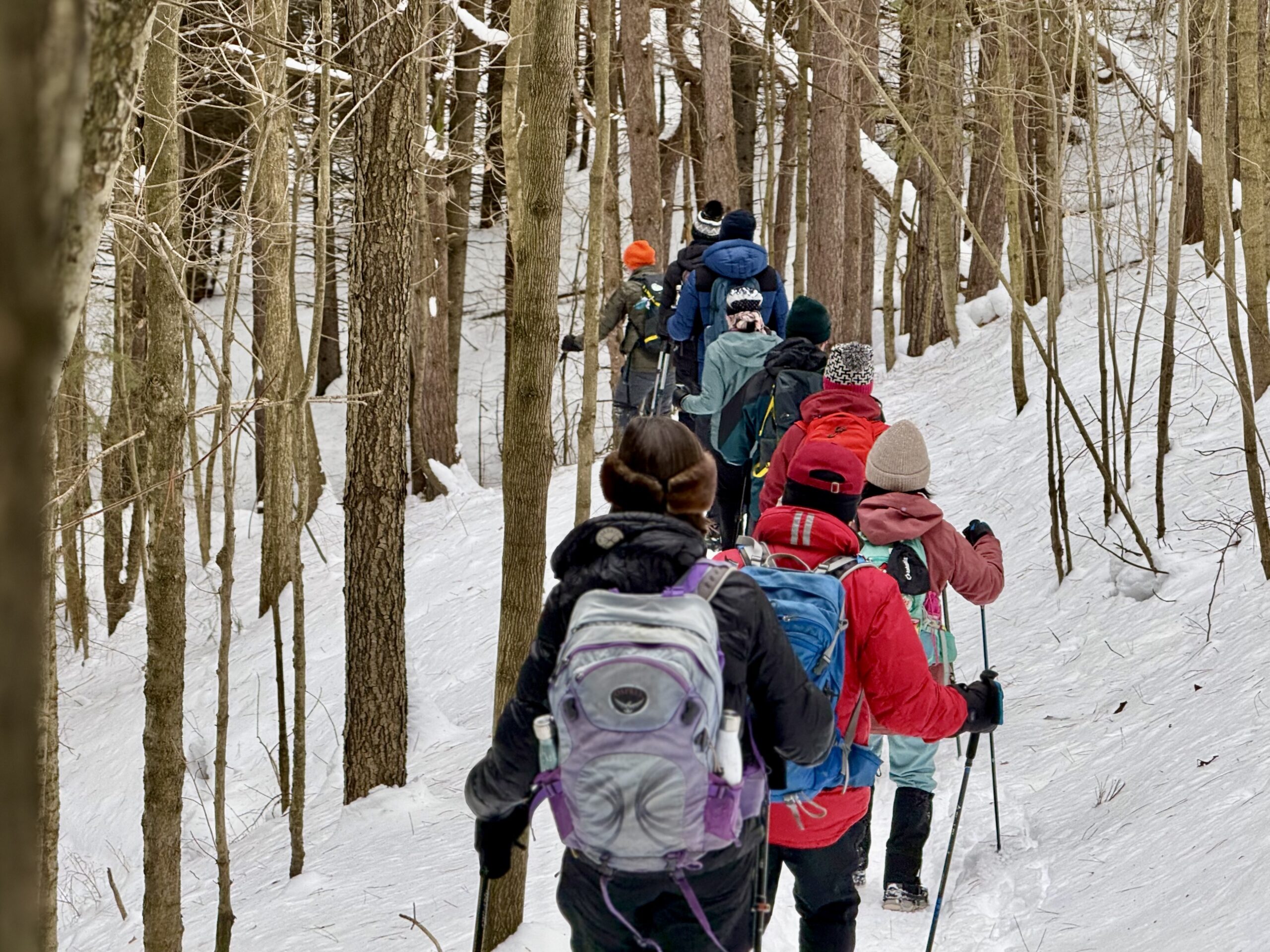
Saturday Shorts: Riverside Woods Nature Reserve
https://hikes.brucetrail.org/event/saturday-shorts-riverside-woods-nature-reserve-3/Sorry, the registration cut-off time for this hike has been reached.Not a member? Click here to join today!Hosting Club: Caledon Hills
Category: Introductory
Location (Google Maps): Meet at Bruce Trail Parking Lot at Riverside Woods Nature Reserve
713377 1st Line EHS, Mono
Google GPS Coordinates: 43.959916, -80.070494Directions:
From Hwy #10 north of Orangeville turn east on Hockley Road.
Drive for 1.1 km.
Continue straight onto Side Road 5 for 1.6 km.
Turn left onto 1st Line EHS for 900 metres.
Continue straight into the parking lot.FYI There is an outhouse at the parking lot.
***DO NOT take 1st Line EHS south from Hockley Road. It is NOT maintained. Google Maps may suggest this impassable route.
Hike Leader(s): Sandy Green Click here to contact Hike Leader(s)
Pace: Leisurely – 3 km/hour or less
Terrain: Moderate – some hills and/or some poor footing
Distance: 5 kmDescription
Looking to get out on a Saturday without giving up your whole day? This Saturday Short hike will get you out in a small group on a short forest adventure. Dress for chilly temperatures, and depending on the snow and ice conditions, pack icers/crampons. Bring a beverage and snack to keep you fuelled during the hike. The hike promises to be a fun one. Everyone is welcome!After the hike, you may wish to visit the CHBTC’s Winter Market, Hockleycrest Farm 933445 on the east side of Airport Road, Mono.
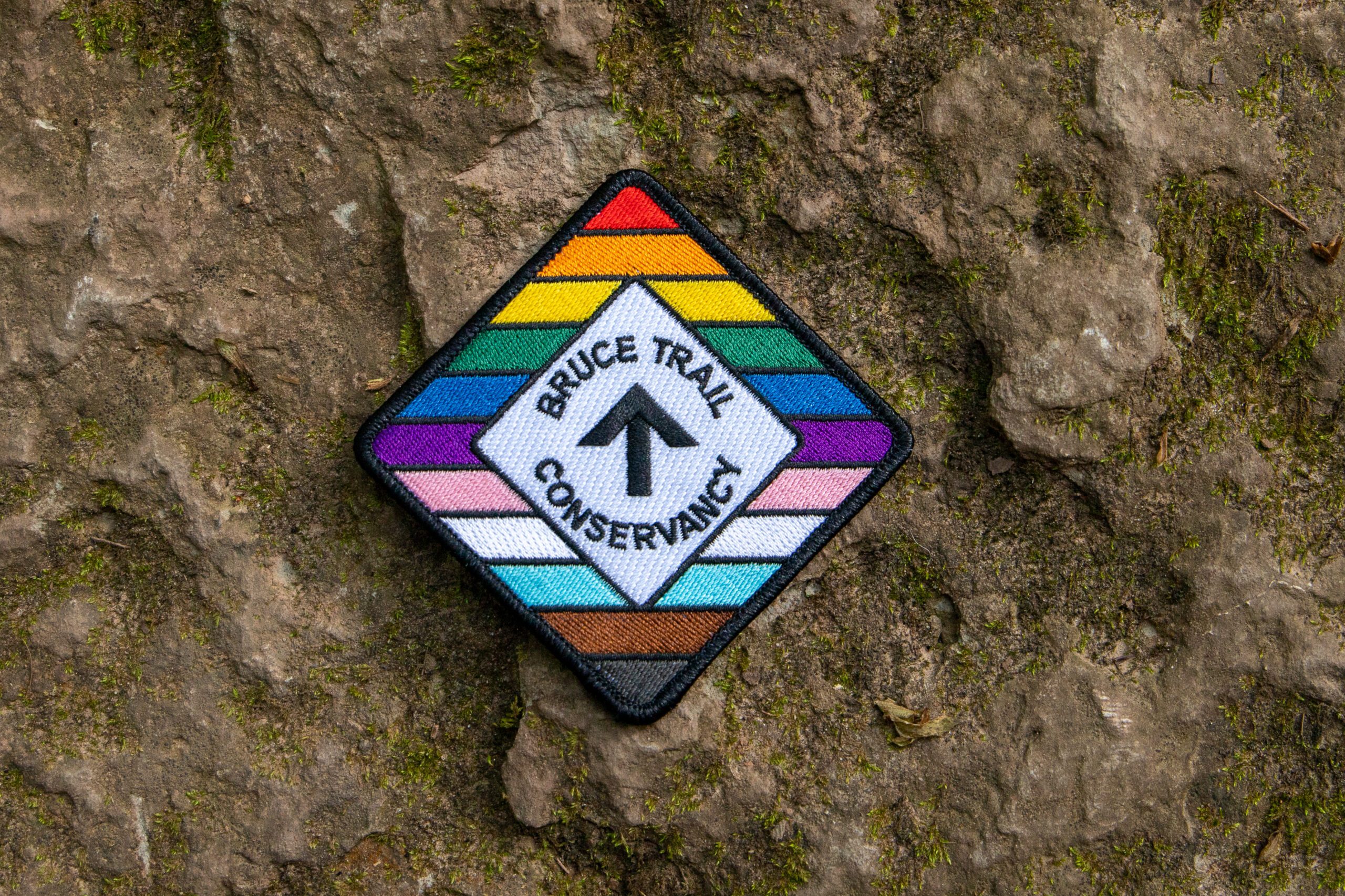
Rainbow/Welcome Hike: Louth Conservation Area
https://hikes.brucetrail.org/event/rainbow-welcome-hike-louth-conservation-area/Sorry, the registration cut-off time for this hike has been reached.Not a member? Click here to join today!Hosting Club: Niagara
Category: Loop
Location (Google Maps): Louth Conservation Area: https://maps.app.goo.gl/LWWRPcRWMHEJwNbi8Hike Leader(s): Angela Lytle Click here to contact Hike Leader(s)
Pace: Medium
Terrain: Moderate
Distance: 5 kmDescription
Join the Niagara Bruce Trail Club, Bridges Niagara Immigrant and Refugee Services and PFLAG Niagara for a Rainbow-Welcome Hike at Louth Conservation Area!Enjoy the sights and sounds of this beautiful conservation area, which has two waterfalls!
What is a Rainbow-Welcome Hike?
These hikes aim to bring 2S-LGBTQIA+ newcomers together with other newcomers and community members, friends and allies to enjoy nature and connect to the land.
It is an affirming space for people of diverse backgrounds and identities. Everyone is welcome. We will have Bruce Trail PRIDE stickers for all hikers, and a limited number of PRIDE badges if you don’t yet have one!
Hike Details
Route: This hike loops around Louth Conservation area side trails and the Bruce Trail for about 5 km, visiting both the main waterfall and the lower falls.
Terrain: The terrain has some ups and downs along the escarpment edge and into and out of the valley. At this time of year, it can be muddy, icy or both. We will adjust the pace to the group but be prepared for some rocky, uneven footing and clambering up and down. We recommend using hiking poles and wearing good hiking shoes is a must. If the weather conditions are snowy or icy, icers/microspikes may be needed. Carry water and dress for changeable weather.
Map: https://maps.app.goo.gl/LWWRPcRWMHEJwNbi8
Note: There are no toilets on this route.
***Please arrive by 9:50 to check in with the hike leader for departure at 10.
There is a small parking lot at the entrance to the conservation area and additional parking along Sue Ann Staff Avenue. We will meet at 9:50 at the parking lot to check in before heading out at 10.
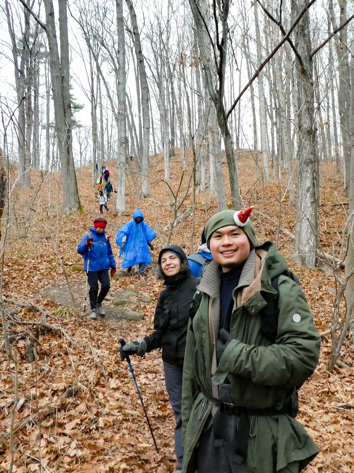
Urban Walk; Rouge Park Christmas Hike
https://hikes.brucetrail.org/event/urban-walk-rouge-park-christmas-hike/Sorry, the registration cut-off time for this hike has been reached.Not a member? Click here to join today!Hosting Club: Toronto
Category: Urban Walk
Location (Google Maps): Rouge National Park, Toronto, OntarioHike Leader(s): Brian Rideout Click here to contact Hike Leader(s)
Pace: Moderate (3-4 km/hr)
Terrain: Challenging, Hilly, Level 2 (Intermediate – some hills and uneven surfaces, rocks and roots underfoot), Variable
Distance (km): 10.17 kmDescription
Please join me for a holiday hike in the Rouge National Urban Park, which has been voted by some members as my best and exhilarating one. On this hike, you can expect rolling hills, and stunning vistas, including the largest remaining wetland in the City of Toronto.The hike starts at the Toronto Zoo entrance. To get there, you can meet me at Kennedy TTC station by 9:55 am for a 42-minute bus ride, or you can take the 85 Sheppard East bus route from Don Mills Station or Rouge Hill GO station. If driving, consider parking for free next to the Rouge Valley Conservation Centre (Pearse House), GPS (43.81780727235202, -79.17176449225887), where the hike ends, and walk over to the Toronto Zoo entrance. This walk is about 10 minutes.
Please bring at least 2 liters of water, a snack and dress for the cold. Hiking poles are recommended. Bring icers just in case. Expect some hilly terrain.
Apres-hike at The Stone Cottage Pub, to share the holiday season with fellow hikers. Please wear Holiday colors and bring your appetite.
Here is an online map of our route (https://onthegomap.com/s/9mpj477d) Rouge Park Map
Update: The Park Rd entrance to Rouge National Urban Park is closed for construction of the new visitor centre. This includes a portion of Vista Trail from the platform area to the road therefore Orchard Trail and Vista Trail do not connect at this time. Parking at the Rouge Valley Conservation Area is very small and reserved for RVCC visitors, not park users. Parking is available at 55 Twyn Rivers Drive or at 7450 Kingston Rd. Here’s a link to the information bulletin for the closure: https://parks.canada.ca/pn-np/on/rouge/securite-safety/bulletins/06cbeb39-d081-4e5d-9a38-981ff1875baf. The Rouge Valley Conservation Centre is hosting its own event on Dec 13th and will require the use of their parking lot.
Update: I can confirm that there is no parking available in the park. If driving you will have to park at the Toronto Zoo. There is some construction underway at the Zoo so the available parking space is reduced but spots should be available. Also, the portion of the Vista Trail near the existing Visitor Center in the park is blocked by a construction site. However, we can skirt the construction site outside the fence without violating the ‘no trespass’ prohibition, at least I was able to On December 7.
Update: There is a steep hill that we go down. You will be unable to descend safely without icers. Trekking poles are strongly recommended.