
Hike Schedule
Join us for a hike! Registration required.
All hikes available to BTC members. Some hikes are open to non-members.
See Refund Policy for Paid Hikes >
TIP: The calendar view displays up to 7 hikes on a day, but often there are more. Click “View more events” to see them all.
Categories
- 07January 7, 2024
PBTC Tree Badge Pilot Hike
https://hikes.brucetrail.org/event/pbtc-tree-badge-pilot-hike/Sorry, the registration cut-off time for this hike has been reached.Not a member? Click here to join today!Hosting Club: Peninsula
Location (Google Maps): Parking lot at the east end of Scenic Caves Road [44.953282, -81.128023]
Hike Leader(s): Saabir Sohrab Click here to contact Hike Leader(s)
Pace: Leisurely
Terrain: Moderate
Distance: 5kmDescription
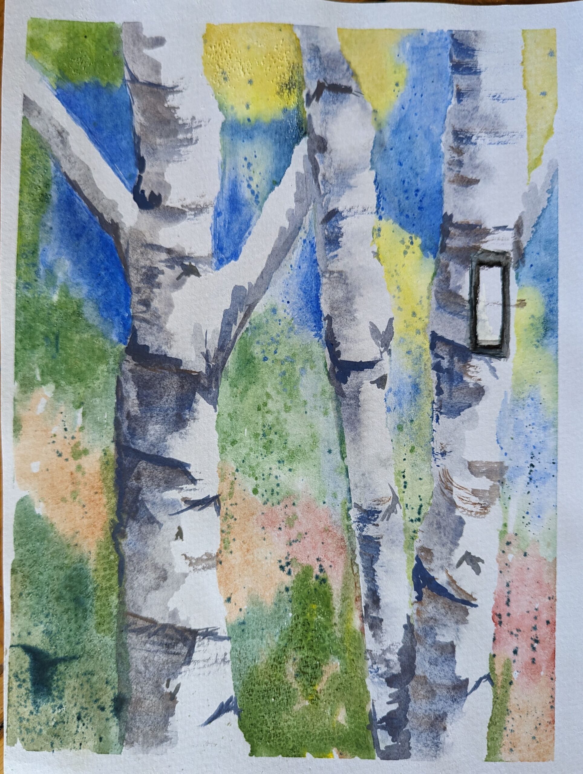
Calling all badge hounds! PBTC will be launching a tree badge in 2024. The tree badge will be the next in a series of conservation badges that include the birder badges, fern badge and orchid badge. Before we launch, we want to test the badge requirements in a couple of pilot hikes. This hike will allow you to test the requirements for the badge. The badge requirements are at the end of this hike description. The badge requires the use of the iNaturalist app – if you aren’t already part of the iNaturalist Bruce Trail Conservancy Project, please get the app before the hike, see details here: https://brucetrail.org/what-we-do/#iNaturalistPBTC volunteer Natalie Mechalko will share her knowledge of trees on the Peninsula to support hikers as they try out the Tree Badge requirement.
We will meet at the parking lot located at the east end of Scenic Cave Road [44.953282, -81.128023] and hike a loop around the Pease Side Trail and main trail.
Be prepared for variable weather and dress for the conditions on the day of the hike. Depending on the weather, icers may be required. As with all winter hikes, we will adjust or postpone the hike if required due to inclement conditions.
Draft Tree Badge Requirements:
There is no time limit for completing the badge requirements. All observations must be from the main trail or sides trails of the Peninsula section or on a PBTC-organized hike.
- Photograph, identify and document 25 different tree species along the Peninsula section of the Bruce Trail. Your list must include at least 1 tree in each of the following categories:
- Deciduous
- Coniferous
- Mast Tree – produces food for wildlife or human foragers through periodic booms in seed production. A key characteristic of mast trees is that their seed production becomes synchronized across entire populations of the same species, producing an over-abundance of food in some years (also known as bumper crops, which is a crop that has yielded a usually productive harvest), and greatly reduced production in other years. Many mast foods have great storage value, avoiding rot, or freezing on the trees to provide quality food even when everything is dormant. Mast foods also have a high nutrition content, such as fatty nuts, which helps mammals build up fat stores for winter. Periodic booms (typically once every 2-8 years) of mast production trigger a cascade of ecological effects that affects mammals, birds, insects & even diseases like Lyme. Some common types of mast trees include oak, spruce, walnut, butternut and beech.
- Wildlife Tree – standing dead or live tree (also known as snags, den trees or cavity trees) with characteristics that provide valuable habitat for wildlife. Wildlife trees may contain spike, fork or broken tops, cavities, loose bark, large platform limbs and brooms. In Ontario, at least 50 species of birds and mammals rely on snags. Many species of trees make for good snaps, but large conifers such as cedar, fir, larch, and pine, tend to rot more slowly than do deciduous trees such as alder, birch, and cherry. Large deciduous trees such as cottonwoods, big-leaf maples, and oaks can last many years as snags. While alive, large deciduous trees tend to develop cavities in their bulky live and dead branches and trunks.
- Invasive Species – could be an invasive tree species (i.e., Scots pine, Buckthorn, Norway Maple) or identification of invasive pathogen (i.e., Emerald Ash Borer, butternut canker, beech bark disease)
- Upload photos to iNaturalist.ca and add them to the Bruce Trail Project. New to iNaturalist? Not registered for the Bruce Trail Project? Visit https://brucetrail.org/what-we- do/#iNaturalist for details.
- For one specimen tree in each of the five categories record the following:
- Deciduous
- Common name
- Leaf category: opposite, alternate, simple, compound, pinnate, palmate, lobed, toothed, margins
- Coniferous
- Common name
- Leaf category: Short needles in opposite pairs or whorls of 3, needles in bundles or 2, 3 or 5, needles in tufts of 10 or more on dwarf shoots or single on long shoots
- Mast Tree
- Name of fruit/ seed
- Wildlife Tree
- Wildlife habitat characteristic (spike, fork or broken top, cavity, loose bark, large platform limbs or brooms) and name species that may use habitat
- Invasive Species
- Common name of tree or pathogen
- Once you have accumulated 25 species, and your entries have been verified on iNaturalist, and you have recorded the characteristics of five specimen trees, you may obtain your badge. Instructions for obtaining the badge will be available on the PBTC website at https://www.pbtc.ca/badges after the badge is launched.
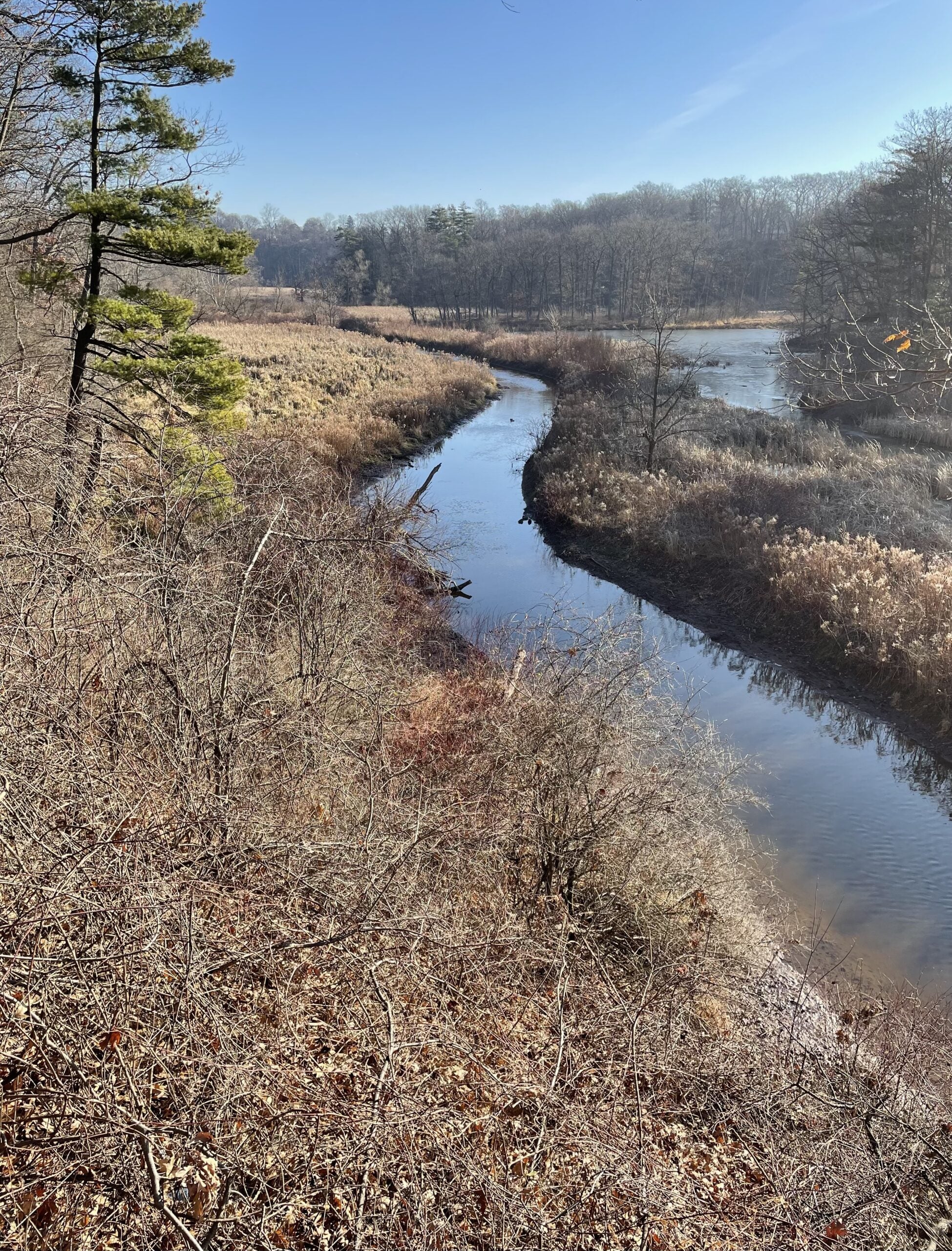
Sunday Rambles at RBG (Hendrie Valley)
https://hikes.brucetrail.org/event/sunday-rambles-at-rbg-hendrie-valley/Sorry, the registration cut-off time for this hike has been reached.Not a member? Click here to join today!Hosting Club: Iroquoia
Category: General Hike
Location (Google Maps):Hike Leader(s): Colleen Mabalay Click here to contact Hike Leader(s)
Pace: Medium – 3 to 4 km/hr
Terrain: Easy – Mostly flat and usually good footing, Moderate – Some hills and/or some poor footing
Distance: 6kmDescription
Meet in the parking lot at 9:45am. Bring water and snack. Dress according to weather (icers).Text 905-815-7100 if unable to attend on morning of hike.
Sunday Social Hike - Boyd’s Crevices
https://hikes.brucetrail.org/event/sunday-social-hike-boyds-crevices-3/Sorry, the registration cut-off time for this hike has been reached.Not a member? Click here to join today!Hosting Club: Sydenham
Category: Snowshoe Hike
Location (Google Maps): 11th Concession – north of Km 83.9 where the road intersects with the Owen Sound Rail Trail. Map 32 edition 31Hike Leader(s): Ian Mills Click here to contact Hike Leader(s)
Pace: Leisurely: 3 km/h or less
Terrain: Moderate: Some hills and/or poor footing, There might be icy and slippery sections.
Distance: 6 kmDescription
This will be an “in and out” hike leading to some giant dolostone blocks separated by spectacular crevices. If you are unable to register please text/call the hike leader @ 416-848-8818. - 08January 8, 2024

9:00 am Side Trail Challenge #9 - Jordan Hollow, Jim Rainforth, Mountainview, Beamsville Bench, Angel
https://hikes.brucetrail.org/event/900-am-side-trail-challenge-9-jordan-hollow-jim-rainforth-mountainview-beamsville-bench-angel/Sorry, the registration cut-off time for this hike has been reached.Not a member? Click here to join today!Hosting Club: Niagara
Category: In and Out
Location (Google Maps): Park at Jordan Hollow parking lotHike Leader(s): Sam Rutherford Click here to contact Hike Leader(s)
Pace: Brisk
Terrain: Strenuous
Distance: 9 kmsDescription
This is a loop hike.
Park at Jordan Hollow parking lot. Take Jordan Hollow Side Trail until it reaches main trail. Go left on the Main Trail and continue to km 56.0 where the trail crosses 19th Street.
Shortly after, take the Jim Rainforth ST until it reconnects with the Main Trail. Turn right on Main Trail and follow it back to where it meets Jordan Hollow Side Trail. Take the Side trail back to the parking lot.We will then drive to Mountainview Conservation Area parking Lot (km 73.5) N 43.157888º, W 79.497415º and follow the main trail until it meets Mountainview ST. Take Mountainview ST until it ends at main trail. Turn right onto Main Trail until it meets Beamsville Bench ST. Take Beamsville Bench ST until it meets Angel ST. Take Angel
ST out and back. Turn left back onto Beamsville Bench ST and follow it until it meets the main trail. Go left on main trail and follow it back to parking lot.Participate in all 9 scheduled hikes in the NBTC Side Trail Challenge or hike the side trails on your own. Submit your photos to collect the NBTC Side Trail badge. Badges will be awarded at Angel’s Gate Winery to those hikers that have completed all 9 hikes. Please bring $10 for your badge.
Westfield Village Hike-Rockton- on their new trails
https://hikes.brucetrail.org/event/westfield-village-hike-rockton-on-their-new-trails/Sorry, the registration cut-off time for this hike has been reached.Not a member? Click here to join today!Hosting Club: Iroquoia
Category: General Hike
Location (Google Maps): Westfield Heritage Village 1049 Kirkwall Rd, Rockton, ON L0R 1X0Hike Leader(s): Cathie Green Click here to contact Hike Leader(s)
Pace: Medium – 3 to 4 km/hr
Terrain: Easy – Mostly flat and usually good footing
Distance: 8-10kmsDescription
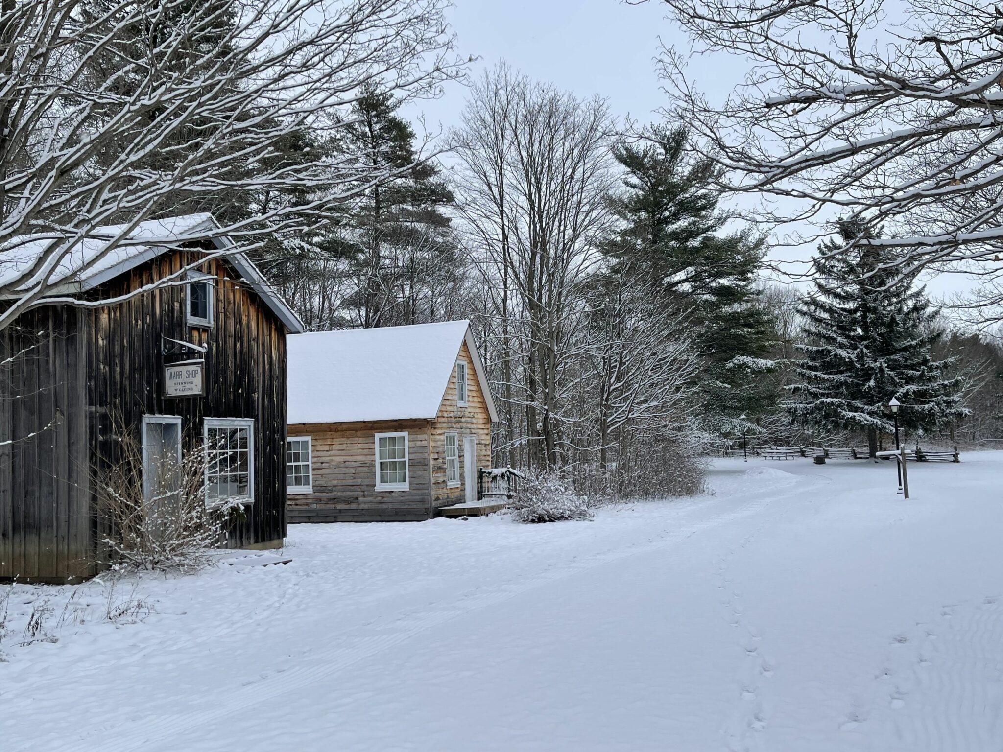
Westfield is a Heritage Village and Conservation Area with an hour drive from Cambridge/Kitchener and Hamilton. They have added some new trails–all flat so a good beginner level hike or for those who want an easier hike at the start of the week. We will meet at Westfield Village parking lot-free to HCA passholders-$11.00 per vehicle if not a member-according to their website
We will hike around the back of the village through the forest and over the covered bridge to the train station and then do a circular hike through the sugar bush and Westfield trails returning back through the main street of the pioneer village
Bring Icers-bound to be icy patches, Wear appropriate clothing for the weather conditions, water, snack, hiking pole, hiking/ winter boots . Any questions or concerns, please do not hesitate to contact me at cathiekygreen@gmail.com or text me at 416-931-2095
- 09January 9, 2024
Urban Walk: Valley View Park Thornhill
https://hikes.brucetrail.org/event/urban-walk-valley-view-park-thornhill-2/Sorry, the registration cut-off time for this hike has been reached.Not a member? Click here to join today!Hosting Club: Toronto
Location (Google Maps): Parking lot at the corner of Bayview Ave, and Sycamore Dr. South of Highway 7
Hike Leader(s): Mohammad Aghamiri Click here to contact Hike Leader(s)
Pace: Moderate
Terrain: Variable
Distance: 7-8 KMDescription
We will explore Valleyview and Huntington park and walk along German Mill Creek,It is winter time and trail is hilly bring proper clothing, hiking boots, and ice cleats.
9:00 Long Hike Wiley Road Short Hills
https://hikes.brucetrail.org/event/900-long-hike-wiley-road-short-hills-20/Sorry, the registration cut-off time for this hike has been reached.Not a member? Click here to join today!Hosting Club: Niagara
Location (Google Maps):
Short Hills Wiley Road Entrance
Pace: Medium
Terrain: Moderate
: 10kmDescription
Explore Short Hills and the majestic side trails of Scarlett Tanager, Hemlock. Swayze Falls and Terrace. Register for each hike
Bring Poles water, snack, Icers and dress for the weather
9:15 Short hike, Pelham Road, Short Hills
https://hikes.brucetrail.org/event/915-short-hike-pelham-road-short-hills-71/Sorry, the registration cut-off time for this hike has been reached.Not a member? Click here to join today!Hosting Club: Niagara
Location (Google Maps): Pelham Road entrance, Short Hills Provincial Park
Hike Leader(s): janet davey Click here to contact Hike Leader(s)
Pace: Medium
Terrain: Moderate
Distance: 6 kmsDescription
Hike the main and side trails of Short Hills Provincial Park. Bring hiking boots, icers and water.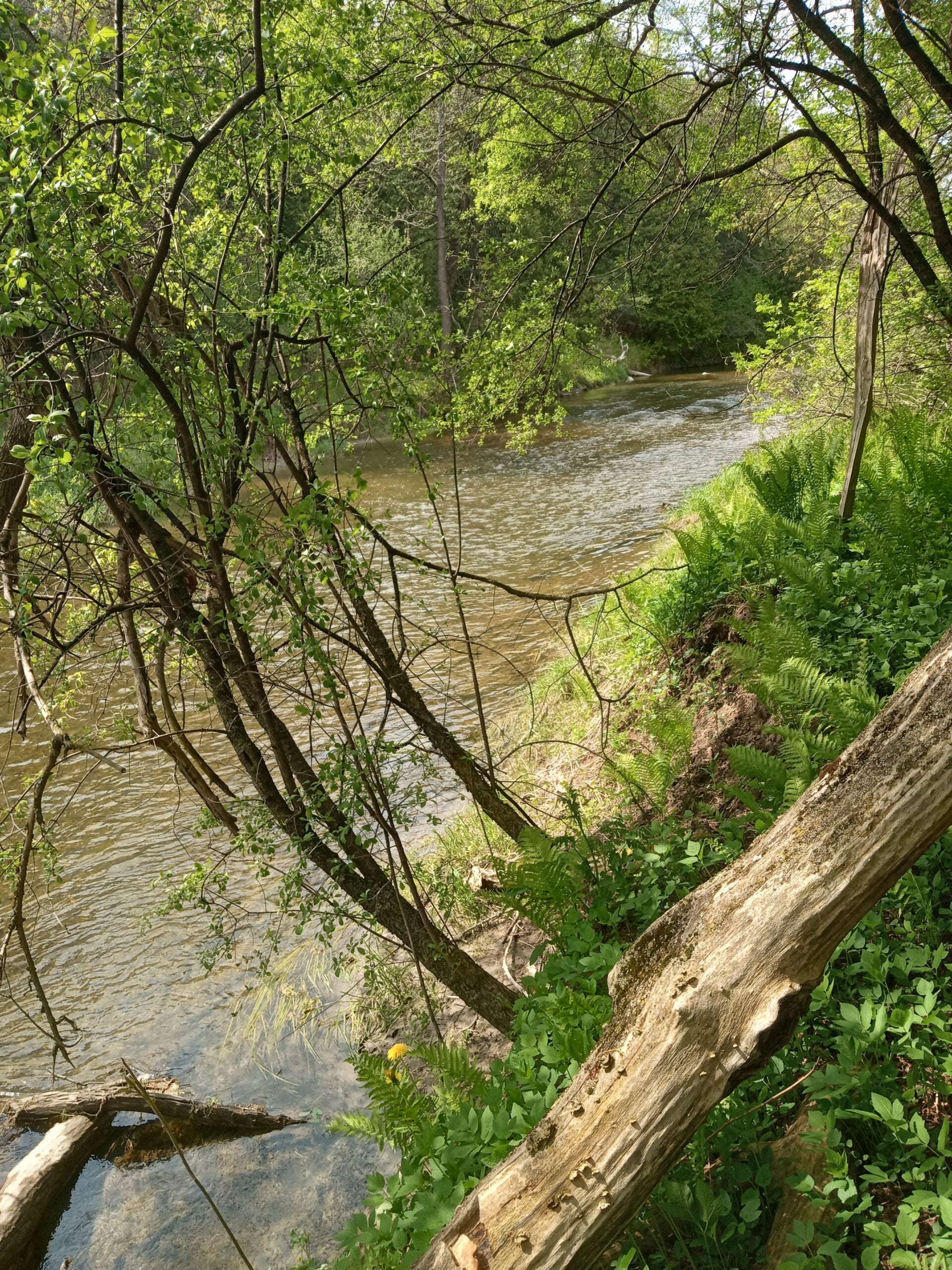
Nashville Conservation Reserve
https://hikes.brucetrail.org/event/nashville-conservation-reserve/Sorry, the registration cut-off time for this hike has been reached.Not a member? Click here to join today!Hosting Club: Dufferin Hi-Land
Category: Cancelled
Location (Google Maps): The Nashville Conservation Reserve is located in Vaughan. From Highway 50(Queen St.) and King Street, in Bolton, head east on King St. for 1.9 km, turn right and drive on Albion Vaughan Rd for 3.9 km. Turn left and follow Kirby Rd. for 2.4 km to Huntington Rd. Parking is on the west side of the road 300 m north of Kirby Rd. and Huntington Rd. intersection, immediately past the Humber River bridge.
For carpooling meet at Party City (4th Ave. at Highway 10 in Orangeville) at 8:30 am.Hike Leader(s): Tony Evangelista, Les Babbage, Inge Eckerich, Julie Daley Click here to contact Hike Leader(s)
Pace: Leisurely
Terrain: Dependent on Conditions, Easy
Distance: Long Hike 7 km Short Hike 4 kmDescription
We will hike westward on the main trail for 3.5 km and return to the cars using the same route. The short hike will turn around after 2 km.Bring snacks and water. Icers may be needed. Poles are recommended.
Optional refreshment stop in Bolton after the hike.
Halton Regional Forest - CANCELLED
https://hikes.brucetrail.org/event/halton-regional-forest-6/Sorry, the registration cut-off time for this hike has been reached.Not a member? Click here to join today!Hosting Club: Caledon Hills
Category: Tuesday Hikers
Location (Google Maps): Parking at: 10 Side Road and 4th Line Nassagaweya (trail entrance to Halton Regional Forest).
From Highway 401 West, turn right (north) on Guelph Line, right on 10 Side Rd. The road bends northwards and becomes 4th Line Nassagaweya; roadside parking at the bend.Hike Leader(s): Mohammad Shafiq Click here to contact Hike Leader(s)
Pace: Medium – 3 to 4 km/hour
Terrain: Moderate – some hills and/or some poor footing
Distance: 12 kmDescription
Will hike trails in Halton Regional Forest and Hilton Falls Conservation Area; beautiful trails are relatively flat with some rocky parts. Snack break at Hilton Falls, possibly around fire pit.
Bring water, snack and a warm drink of your choice.
Dress according to weather, poles are recommended, icers may be required if there is snow on the ground.
Hike leader cell phone: 416-566-0503 (note that reception in hiking area is usually poor, leave a messages to callback)
During winter, check your email before leaving about 7:30 am for any last minute update due to weather conditions. - 10January 10, 2024

8:30 Niagara Winter End to End #2 Kinsman Park to Glen Road
https://hikes.brucetrail.org/event/830-niagara-winter-end-to-end-2-kinsman-park-to-glen-road-3/Sorry, the registration cut-off time for this hike has been reached.Not a member? Click here to join today!Hosting Club: Niagara
Category: Car Pool
Location (Google Maps): Meet Parking Area Glen Road Carpool to Kinsmen Park Frost Rd Beamsville.Hike Leader(s): Sam Rutherford Click here to contact Hike Leader(s)
Pace: Medium
Terrain: Moderate
Distance: 13.2 kmsDescription
We will be car pooling, Bring Icers and poles. No dogs. To earn your Niagara Winter End to End badge, it must be completed between December 21, 2022 to March 21, 2023.
Because of the potential for bad winter trail conditions we have broken this e2e into 6 hikes rather than 5Car Hike: Toronto Fundraiser E2E- 3 hikes
https://hikes.brucetrail.org/event/toronto-fundraiser-e2e-3-hikes/Sorry, the registration cut-off time for this hike has been reached.Not a member? Click here to join today!Hike open to BTC Members only.
This is a Multi-Day Hike
You are signing up for the following dates and times:
2024-01-10 at 09:00
2024-01-17 at 09:00
2024-01-24 at 09:00Hosting Club: Toronto
Category: Car Hike
Location (Google Maps): Km 17.4, Fourth Line. East side of the road. Coordinates N 43.615163,W 79.975157Hike Leader(s): Smadar junkin Click here to contact Hike Leader(s)
Pace: Brisk
Terrain: Rocky, Variable
Distance: 17.4 kmDescription
This is a fundraiser hike, in 3 outings. At the end you will earn the special stained glass badge (fee $30). You are registering for 3 days, January 10, 17, 24.hikers need to complete the three hikes with the leader. Hikers are allowed to miss one hike and make it up on their own before the last scheduled hike.the fees go toward supporting the Toronto Bruce Trail Club, which supports the mission of the Bruce Trail Conservancy “preserving a ribbon of wilderness for everyone, forever”.
these hikes are posted as brisk pace. Hikers are expected to walk at a pace of 4.5km per hour.please follow all Covid 19 regulations. Hikers may choose to wear masks. Always carry ID card. Bring two litters of water, icers and snowshoes. The leader may change a hike date due to bad winter conditions or bad weather
Nottawasaga Lookout
https://hikes.brucetrail.org/event/nottawasaga-lookout-3/Sorry, the registration cut-off time for this hike has been reached.Not a member? Click here to join today!Hosting Club: Blue Mountains
Category: Register in person the morning of hike.
Location (Google Maps): Hike meets in the parking lot behind Tim Hortons on First St. in Collingwood.Hike Leader(s): Myra Campbell Click here to contact Hike Leader(s)
Pace: Medium – 3 to 4 km/hr
Terrain: Moderate – Some hills and/or some poor footingDescription
We will drive to Blue Mountains/Clearview Townline, north of County Road 91 and park at Eagle Cres for a hike through the Nottawasaga Lookout Nature Reserve. We will start the hike at km 42.5 and hike through the woods to km 39.3. We will then retrace our steps back to the cars. Bring a snack and water.Winter Wednesday Walkers - Kolapore East
https://hikes.brucetrail.org/event/winter-wednesday-walkers-kolapore-east/Sorry, the registration cut-off time for this hike has been reached.Not a member? Click here to join today!Hosting Club: Beaver Valley
Location (Google Maps): Meet in the Kolapore Skiers parking lot on Grey County Road 2, 750 m south of km 23.8, Map 25 Edition 31
Hike Leader(s): Glenda Collings Click here to contact the hike leader.
Pace: Medium
Terrain: Moderate
Length of Hike: approx. 5 km returnDescription
This is an in and out hike, travelling along rural fields and through forests and back to our cars. On winter hikes we may encounter bare ground, light snow, deep snow, or ice. Please bring snowshoes and icers to our Winter Wednesday Walkers outings. Wear appropriate clothing for the weather plus water and a snack.COVID-19 Precautions Before, During and After your Hike
- Each hiker joining a Bruce Trail Club organized hike must perform a self-screening check before hiking.
Find Ontario’s self-assessment tool here: https://covid-19.ontario.ca/self-assessment/ - If you are experiencing COVID-19 symptoms, stay home.
Other Guidelines
- Arrive 15 minutes before the start of the hike.
- Wear sturdy footwear and appropriate attire for the weather and the terrain.
Hiking poles are a good idea in any season, especially if the terrain is rocky or slippery. In winter, snowshoes or icers/crampons are needed when conditions dictate.
Wearing appropriate clothing and footwear prevents injuries and shows consideration for a safe and positive group hiking experience. - Always carry I.D. and your health card.
- Bring sufficient water and snacks (or lunch if indicated). A minimum of 1L of water is recommended on all hikes, and 3L is recommended for long, challenging hikes in the heat of the summer.
- Bring sunscreen and insect repellent (for spring and summer hikes).
- Bring your own first aid kit.
- Please leave dogs at home.
- Each hiker joining a Bruce Trail Club organized hike must perform a self-screening check before hiking.
- 11January 11, 2024
Car Hike: Iroquoia winter E2E, hike 1/6
https://hikes.brucetrail.org/event/car-hike-iroquoia-winter-e2e-hike-1-6/Sorry, the registration cut-off time for this hike has been reached.Not a member? Click here to join today!Hike open to BTC Members only.
Hosting Club: Toronto
Category: Car Hike
Location (Google Maps): Grimsby Lions Community Pool, Elm street, N 43.193201,W 79.565301Hike Leader(s): Smadar Junkin Click here to contact Hike Leader(s)
Pace: Brisk
Terrain: Challenging, Variable
Distance: 22 kmDescription
This hike series will get you the Iroquoia E2E winter badge. It is a series of 6 hikes. You need to register to each one separately. Bring 2 litres of water. Must bring icers and snowshoes to be able to hike in any trail conditions. Date of hike may need to be changed due to bad winter weather conditions. All hikers need to follow covid 19 protocol. Please arrive 15 minutes early. Hikers are expected to walk at a 4.5 km per hour.We will car shuttle to Greenhill Ave and hike back.
Urban Walk: Valley View Park Thornhill
https://hikes.brucetrail.org/event/urban-walk-valley-view-park-thornhill-3/Sorry, the registration cut-off time for this hike has been reached.Not a member? Click here to join today!Hosting Club: Toronto
Location (Google Maps): Parking lot at the corner of Bayview Ave, and Sycamore Dr. South of Highway 7
Hike Leader(s): Mohammad Aghamiri Click here to contact Hike Leader(s)
Pace: Moderate
Terrain: Variable
Distance: 7-8 KMDescription
We will explore Valleyview and Huntington park and walk along German Mill Creek,It is winter time and trail is hilly bring proper clothing, hiking boots and ice cleats.
9:00 am Long Hike Jordan to Moyer / Louth
https://hikes.brucetrail.org/event/900-am-long-hike-jordan-to-moyer-louth-52/Sorry, the registration cut-off time for this hike has been reached.Not a member? Click here to join today!Hosting Club: Niagara
Location (Google Maps):
Jordan Hollow Park 3039 King St Jordan
Pace: Medium
Terrain: Moderate
: 10kDescription
From Jordan Hollow Hike the main trail to Upper and Lower Balls Falls, Moyer Road or Louth and Return. You must register for each hike. Bring Poles, sunscreen, bug spray , snack and a drink and dress for the weather
9:15 Short Hike - Jordan Hollow
https://hikes.brucetrail.org/event/915-short-hike-jordan-hollow-91/Sorry, the registration cut-off time for this hike has been reached.Not a member? Click here to join today!Hosting Club: Niagara
Location (Google Maps): Jordan Hollow Park, Jordan Station
Hike Leader(s): Bill Russell Click here to contact Hike Leader(s)
Pace: Medium
Terrain: Moderate
Distance: 6kDescription
Hike the main and side trails around Jordan and Ball’s Falls. Bring hiking boots, water and icers.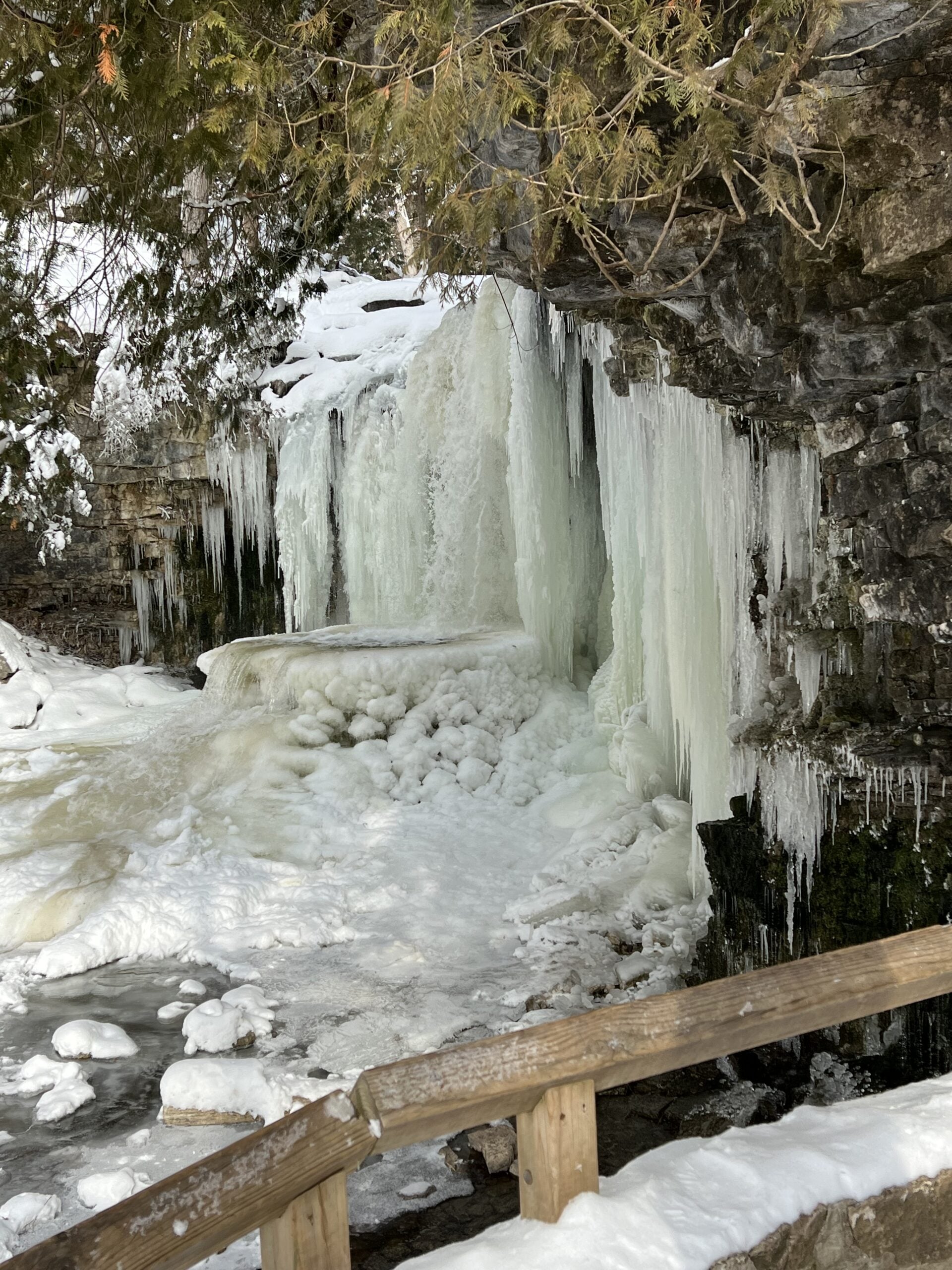
To the Falls and Back
https://hikes.brucetrail.org/event/to-the-falls-and-back-6/Sorry, the registration cut-off time for this hike has been reached.Not a member? Click here to join today!Hosting Club: Iroquoia
Category: Thursday Group
Location (Google Maps): Halton Agreement ForestHike Leader(s): Anne Armstrong Click here to contact Hike Leader(s)
Pace: Leisurely – 3km/hr or less
Terrain: Moderate – Some hills and/or some poor footing, Slippery Sections Likely
Distance: Approx. 9 km.Description
This forest is a wonderful area in which to hike. There are numerous hiking trails and also mountain bike trails which are suitable for hiking too. We happily share the trails. Meet at 9:45 am. for a 10:00 am. start at the corner of Tenth Sideroad and Nassagaweya Fourth Line. There is plenty of roadside parking. Bring water, a snack, icers and poles if using. We will use both hiking and biking trails to reach Hilton Falls and then return via a different route.
Leader: Anne Armstrong 905 617 3937 hikingrandma@gmail.com. Please text or email leader if cancelling the day of the hike. - 12January 12, 2024

Niagara-on-the-Lake Tour
https://hikes.brucetrail.org/event/niagara-on-the-lake-tour-49/Sorry, the registration cut-off time for this hike has been reached.Not a member? Click here to join today!Hosting Club: Niagara
Category: Urban
Location (Google Maps): Meet on King St near Centre St, just outside of Veteran’s Memorial ParkHike Leader(s): Margaret Northfield Click here to contact Hike Leader(s)
Pace: Medium
Terrain: Easy
Distance: 5-7kmDescription
Each Friday we will explore different neighbourhoods, trails and parkland throughout Historic Niagara-on-the-Lake.
Moderate pace with some weeks entirely on sidewalks and roads while others may include a mix of trails and paved pathways. Great way to build up endurance for longer more strenuous hikes.
Prepare for cooler windy conditions on open parkland and along Lake Ontario and Niagara River trails.
Plan to stay for conversation and a warm cup of coffee or tea at Sweets & Swirls, Community Centre, Niagara Stone Road, NOTL
Margaret & Robin
Harrison Park Snowshoe & Lunch
https://hikes.brucetrail.org/event/harrison-park-snowshoe-lunch/Sorry, the registration cut-off time for this hike has been reached.Not a member? Click here to join today!Hosting Club: Sydenham
Category: Snowshoe Hike
Location (Google Maps): Parking lot in front of Harrison Park InnHike Leader(s): Maureen McFarland Click here to contact Hike Leader(s)
Pace: Medium: 3 to 4 km/h
Terrain: Moderate: Some hills and/or poor footing, Strenuous: Hilly with steep climbs and some poor footing.
Distance: 6 kmDescription
We will snowshoe the Harrison Park Loop followed by lunch at Harrison Park Inn. If snow conditions permit, we will take the main trail on the east side. This is a technical snowshoe and is suitable for fit, experienced snowshoers. This is a beautiful section, with interesting geological features and towering cliffs. We’ll take time to enjoy the scenery and still aim to be at the Inn for lunch around 12:30 pm. Walking poles are recommended for this hike. If you are working on the badge for Ron Savage’s recent book, Exploring Sydenham, we will search for the 3 clues together. If you are unable to register, please call or text the hike leader at 647-918-4180. - 13January 13, 2024
Winter Version R2R #1 Pretty River Valley
https://hikes.brucetrail.org/event/winter-version-r2r-1-pretty-river-valley/Sorry, the registration cut-off time for this hike has been reached.Not a member? Click here to join today!Hosting Club: Blue Mountains
Category: Register online ONLY
Location (Google Maps): Hike meets in the parking lot behind Tim Hortons on First St. in Collingwood.Hike Leader(s): Hart Fischer Click here to contact Hike Leader(s)
Pace: Medium – 3 to 4 km/hr
Terrain: Strenuous – Hilly with steep climbs and some poor footing
Distance: 19.5 kmDescription
INTERESTED HIKERS MUST REGISTER ONLINE AND CONTACT THE HIKE LEADER!!!
Parking will be in the Ontario Parks Lower Pretty River lot on Pretty River Road. We will climb the snowmobilers trail until it joins the white blazed trail. We follow this trail to the three lookouts and retrace our steps back to the cars. Hikers may drop out here. Those who wish to continue will follow the Pretty River Road until it meets the white blazed trail and follow this trail up to the Standing Rock and Caves Side Trail. We will climb through the Singhampton caves and return via the white blazed trail back to the cars. Depending on snow conditions this hike can take up to eight hours.COME PREPARED. Bring snowshoes, icers and poles. Bring lots of water, snacks and lunch.Car Hike: Iroquoia Winter E2E 2/6
https://hikes.brucetrail.org/event/car-hike-iroquoia-winter-e2e-2-6/Sorry, the registration cut-off time for this hike has been reached.Not a member? Click here to join today!Hike open to BTC Members only.
Hosting Club: Toronto
Category: Car Hike
Location (Google Maps): Chedoke Civic Golf Club. N 43.246205,W 79.906935Hike Leader(s): Smadar junkin Click here to contact Hike Leader(s)
Pace: Brisk
Terrain: Challenging, VariableDescription
This is the second hike towards the winter E2E badge. We will car shuttle to km 22.0 and hike back. Bring icers, snowshoes and two litters of water. Arrive 15 minutes early. Hikers are expected to hike in a pace of 4.5 km per hour. Hikers are expected to follow all Covid 19 protocols.Cancelled: Winter Coach Trip: Highlands Nordic (Duntroon)
https://hikes.brucetrail.org/event/winter-coach-trip-highlands-nordic-duntroon-3/Sorry, the registration cut-off time for this hike has been reached.Not a member? Click here to join today!Hosting Club: Toronto
Category: Cancelled
Location (Google Maps): Highlands NordicHike Leader(s): Martina Furrer, Brenda Menezes, David Royle Click here to contact Hike Leader(s)
Description
Cancelled due to low registration and lack of snow.Bus departs 10 York Mills Rd at 8:30 AM and Major Mackenzie Dr and HWY 400 Park and Ride at 8:50 AM. If you wish to be picked up at the Major Mackenzie Dr and HWY 400 Park and Ride, select that option when you register. Please arrive 15 minutes before departure. The bus waits for no one.
Join us for an awesome day of x-country skiing and snowshoeing/winter hiking. For trail conditions and information about the resort visit https://highlandsnordic.ca/.
Snowshoers: Join Brenda and David for a guided snowshoe hike on the beautiful Bruce Trail. You must have your own snowshoes (or rent in the city) to participate in this hike. Pack lunch and water; you will be on the trail all day.
Skiers: Spend your day gliding through forests and fields on trails expertly groomed for classic and skate skiing. Enjoy beautiful views of the countryside and Georgian Bay. All skiing is self-guided.
Coach fares must be paid online when you register. Trail fees will be collected in cash on the bus. Masks are mandatory while on the bus.
This trip will run if there is enough snow to ski on. Hikers: It may not be clear ahead of time whether snowshoes, icers, or just boots will be the most appropriate footwear. Come prepared for anything. If the Club cancels this trip, your coach fare will be refunded.
Car Hike: Bethesda Trail Richmond Hill
https://hikes.brucetrail.org/event/car-hike-bethesda-trail-richmond-hill-14/Sorry, the registration cut-off time for this hike has been reached.Not a member? Click here to join today!Hosting Club: Toronto
Location (Google Maps): Meet at Bethesda Trail Head Parking on Bethesda Sideroad off Bayview Avenue, across from Lake Wilcox. This parking lot is free.
Hike Leader(s): Mohammad Aghamiri Click here to contact Hike Leader(s)
Pace: Moderate
Terrain: Variable
Distance: 14-17KMDescription
Join us to explore Jefferson Forest and Bond lake ,Please bring hiking poles, ice cleats proper closing and shoes and lots of water,
Please carefully read safety procedures during the hike:
1-Hikers must stay between the leader and the sweep.
2-Hikers must advise the leader or the sweep if they wish to leave the group.
3- Hikers must follow the whistle instructions: 1 blast- stay where you are; 2 blasts come to the leader; 3 blasts – come to the leader quickly.
4-Hike leader may request volunteers to stop at trail intersections, they need to help hikers to the direction the group walk and wait till they see the sweep .
5-Hikers have to make sure they can see the persons behind and in front of them.

Great Niagara Circle Route #6 Niagara Falls to NOTL
https://hikes.brucetrail.org/event/great-niagara-circle-route-niagara-falls-to-notl/Sorry, the registration cut-off time for this hike has been reached.Not a member? Click here to join today!Hosting Club: Niagara
Category: Car Pool
Location (Google Maps):Meet at Niagara River Parkway / Ricardo St NOTL. Carppol to Aerocar Parking Lot Niagara Falls.
Hike Leader(s): Alan Laver Click here to contact Hike Leader(s)
Pace: Brisk
Terrain: Easy
Distance: 17.3Description
The Greater Niagara Circle Route badge is awarded to walkers who independently complete the Circle Route Trail i.e. Lock 1 Port Weller, along the Welland Canal to Port Colborne , following the Friendship Trail to Fort Erie, following the Niagara Recreational Parkway Trail to Niagara-on-the-Lake and following the Waterfront Trail to Port Weller.
Car Hike: Queen Elizabeth II WIldlands PP Exploratory Hike
https://hikes.brucetrail.org/event/car-hike-queen-elizabeth-ii-wildlands-pp-exploratory-hike/Sorry, the registration cut-off time for this hike has been reached.Not a member? Click here to join today!Hosting Club: Toronto
Category: Car Hike
Location (Google Maps):Queen Elizabeth II Wildlands PP
Hike Leader(s): Glynn Richardson Click here to contact Hike Leader(s)
Pace: Moderate
Terrain: Challenging, Hilly, Variable
Distance: 10-14 kmDescription
Join myself and Tanya on an exploratory hike in the Wilderness Section of the Ganaraska Trail!This is an advanced hike!
We’ll spend 6-8 hrs hiking 10-14 km, depending upon the conditions and the groups ability, on and off the trail over rugged topography, We’ll explore forests, rock barrens and views. Our feet may get a little wet as we navigate our way around ponds (and over using beaver dams), creeks (jumping, rocks, logs), lakes (we will not be travelling on ice). There will be lots of elevation change and challenges.
Bring snacks, lunch, water. Hiking boots, trail crampons, snowshoes and headlamps are MANDATORY. At the trailhead we will evaluate conditions and determine whether we will wear, carry or leave our snowshoes. DO NOT show up without the items above, you will not be allowed to participate. Hiking poles and gaitors are highly recommended.
Check the weather in advance and dress accordingly in layers.
There will be no dropouts and no dogs.
Registered participants are to arrive 15 minutes prior to the hike for briefing
Space is limited.
Dufferin Hi-Land Winter Badge Hike #1 of 4
https://hikes.brucetrail.org/event/dufferin-hi-land-winter-badge-hike-1-of-4-2/Sorry, the registration cut-off time for this hike has been reached.Not a member? Click here to join today!Hosting Club: Dufferin Hi-Land
Category: General Hike
Location (Google Maps):Dufferin Hi-Land, Map 20. Meet at BTC Rock Hill parking lot on 1st Line EHS, Mulmur, 300 metres south of 10 Sideroad/County Rd 17.
Hike Leader(s): Les Babbage; Helen Bailey Click here to contact Hike Leader(s)
Pace: Medium
Terrain: Moderate, Slippery and Steep Sections
Distance: 8 or 9.5 kmDescription
We will hike the Main Trail to the Oliver Creek Loop, returning by way of Moss Haven Side Trail and Main Trail. Option to continue across 1st Line to Rock Hill loop. Lots of hills, streams and crevices. Dress for winter conditions. Snowshoes and/or icers required. Hike leaders will contact registered hikers a day or two before the hike to advise on trail conditions and any weather alerts. Bring water, snacks and lunch.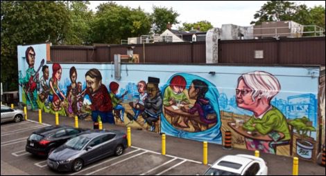
Urban Walk: Graffiti Art, Culture & Nature in Toronto
https://hikes.brucetrail.org/event/graffiti-art-culture-nature-in-toronto/Sorry, the registration cut-off time for this hike has been reached.Not a member? Click here to join today!Hosting Club: Toronto
Category: Urban Walk
Location (Google Maps): Meet at the North-East Corner of Bloor and BrunswickHike Leader(s): Sajedeh Zahraei Click here to contact Hike Leader(s)
Pace: Leisurely
Terrain: FlatDescription
This is the first of a series of monthly urban hikes exploring graffiti art, culture, and social history in Toronto’s streets, laneways, underpasses, and parks across the city. These hikes provide opportunities for reflection on our own identity, personal history, examining our connection to each other and to the land, fostering a sense of community and belonging. In this hike we will explore the Annex, Seaton Village, and Little Portugal neighbourhoods.Car Hike: Mono Cliffs
https://hikes.brucetrail.org/event/car-hike-mono-cliffs-4/Sorry, the registration cut-off time for this hike has been reached.Not a member? Click here to join today!Hosting Club: Toronto
Category: Cancelled
Location (Google Maps): Mono Cliffs Prov. Park, Map 19Hike Leader(s): Al Brown Click here to contact Hike Leader(s)
Pace: Moderate
Terrain: Variable
Distance: 8 KmDescription
This will be a loop winter hike through the Park starting at the Mono Community Centre. The terrain is variable and mostly flat. The hike will take approximately 3 hours and may be shortened depending on weather. After the hike those interested are invited to stop for refreshments in the area.Bring snow shoes if you have them and icers.
To get to the meeting point drive north on Hwy 10 past Orangeville to County Road 8 (at Camilla). Turn right and take the Road 8 into Mono Centre. The parking area is just before the Community Centre on your right. Parking is free.
Memorial Forest
https://hikes.brucetrail.org/event/memorial-forest-5/Sorry, the registration cut-off time for this hike has been reached.Not a member? Click here to join today!Hosting Club: Sydenham
Category: Snowshoe Hike
Location (Google Maps): Parking area at the west end of Young’s Dr., east of Km 103.3 – map 32 edition 31Hike Leader(s): Maureen McFarland Click here to contact Hike Leader(s)
Pace: Medium: 3 to 4 km/h
Terrain: Moderate: Some hills and/or poor footing, There might be icy and slippery sections.
Distance: 5+ kmDescription
Looping via Memorial Forest, Merle Gunby Side Trails and Main Trail providing great views of Jones Falls where we can have a light snack. If you are unable to register please contact the hike leader @ 416-848-8818.CANCELLED - Urban Walk: Theatre Hike - Humber River/Swansea
https://hikes.brucetrail.org/event/urban-walk-theatre-hike-humber-river-swansea-2/Sorry, the registration cut-off time for this hike has been reached.Not a member? Click here to join today!Hosting Club: Toronto
Category: Cancelled
Location (Google Maps):Meet at 3 PM at the bus Route #79 stop at south east corner of Scarlett Road and Eglinton West.
Hike Leader(s): Miriam Stevens Click here to contact Hike Leader(s)
Pace: Leisurely
Terrain: Variable
Distance: 9-10 kmDescription
** Due to the low registration number and anticipated weather conditions this hike has been cancelled **Join us for a leisurely hike (3 km/hour) on the Humber River trail and through Swansea. There are 3 steep stair cases on the route through Swansea. Suitable for beginners and families. We will follow the Humber River Trail to Old Mill and then hike parts of Swansea to Runnymede & Bloor. Optional dropout at Old Mill Subway Station. After the hike you may choose to join us for dinner at 6:00 PM at either at Ali Baba Mediterranean Cuisine or at a nearby pub as you prefer.We will attend the play at 8:00 PM at the Village Players, 2190E Bloor Street West to see the play “Social Security” by Andrew Bergman .Call the theatre directly at 416 767 7702 to reserve your ticket ($29.00 adults and seniors) and mention that you are with the Bruce Trail Conservancy, Toronto Club.Anyone may choose to come for the hike only, join us for the theatre performance, or join us for all three: Hike, dinner and play.Parking on side streets off of Bloor street west. A paid parking lot is available behind the theatre building (and adjacent to the subway station) at 2190 Bloor Street West